December 10, 2020
The River Mountains Loop Trail: the eastern half
Today’s planned ride covers the eastern half of the River Mountains Trail, the miles we didn’t cover on yesterday’s ride. In addition, we’ll bike out to Hoover Dam on the Historic Railroad Tunnel Trail, repeating the experience we so enjoyed last January.
It’s still quite chilly when we roll our bikes out of our room at a bit after 9. Our neighbor from the room next door is outside taking a smoke break, and we briefly chat with him before we ride off, answering questions about why we have such odd looking rides.
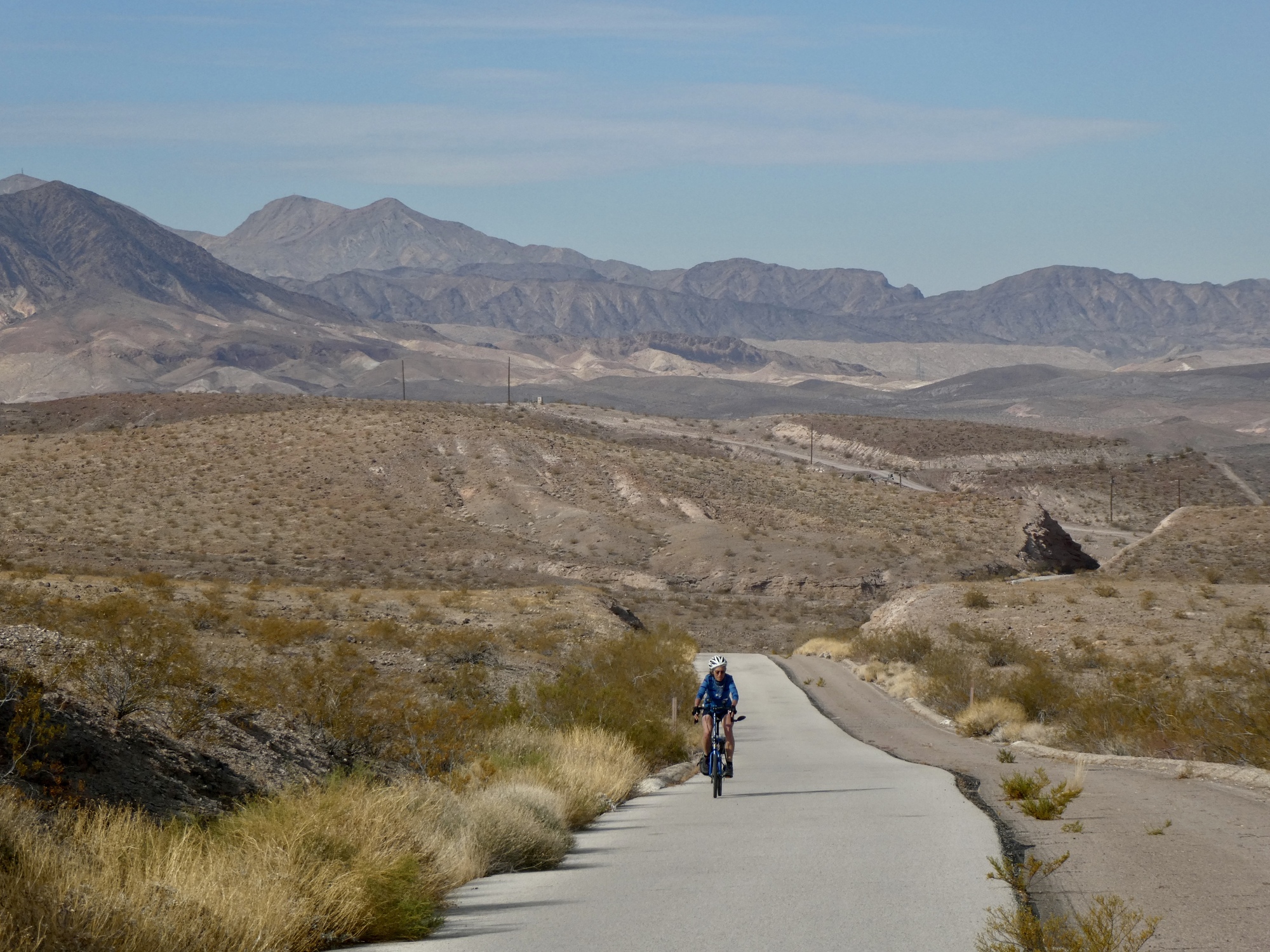
The eastern half of the River Mountains Loop is quite different than the west, less mountainous and at a lower elevation. The trail steadily drops a thousand feet from Boulder City over the first six miles, finally leveling off by the western shore of Lake Mead. From there it curves northward and loosely follows the perimeter of the lake for the next twelve miles before turning west along the Las Vegas Wash.
Quite different from the other side of the loop, but just as fine a riding experience in its own way. The loop is definitely worth a detour, if not a journey.

| Heart | 3 | Comment | 2 | Link |

| Heart | 3 | Comment | 0 | Link |

| Heart | 1 | Comment | 1 | Link |
The wood is considered by some as the densest in the world. I like it for carving tiny things because of its wonderful golden color that is fade resistant and it takes such a fine polish. Unfortunately, if it gets wet before being sealed, the yellow color washes out.
4 years ago

| Heart | 2 | Comment | 0 | Link |

| Heart | 2 | Comment | 0 | Link |

| Heart | 1 | Comment | 0 | Link |

| Heart | 2 | Comment | 0 | Link |

| Heart | 3 | Comment | 0 | Link |

| Heart | 3 | Comment | 0 | Link |
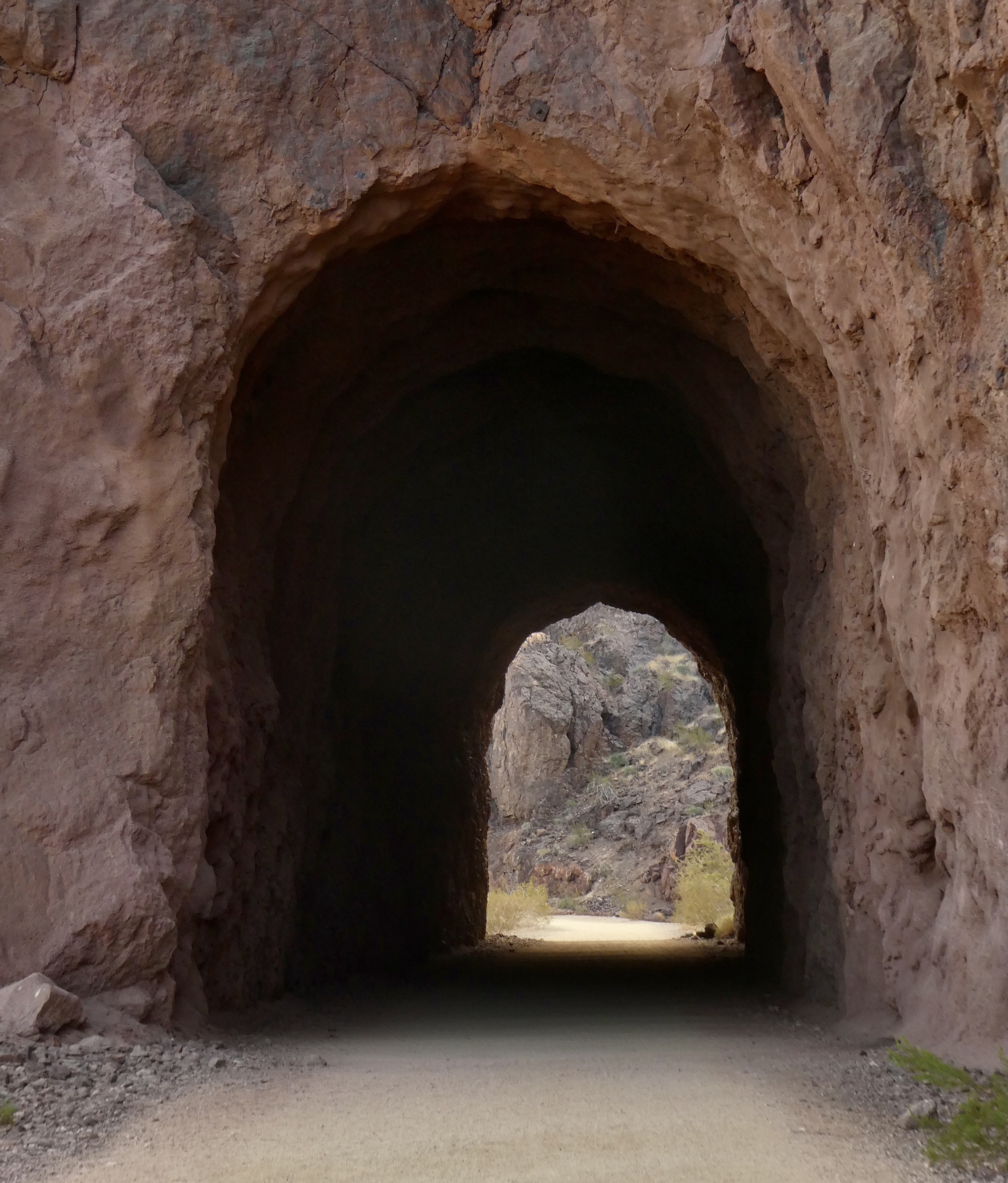
On our return ride, we turn off to the Historic Railroad Tunnel Trail, the dirt road that follows the right of way of the train line that was built to shuttle supplies from Las Vegas for the building of Hoover Dam. We rode this short trail to the dam last time we were here, and I’ll refer you to the post from our first tour for more background. Riding or walking this short trail is an unmissable experience if you’re in the area, in my opinion.
The trail gets a bit confusing as it nears the dam, offering at least two different routes. We took the longer and more gradual choice this time (at least as it appeared on the map), and were surprised when it ended at the top of a steep, narrow zigzag ramp that was a challenge to descend. This ramp ends at the top platform of a huge four floor parking garage, today almost totally empty. Below that, finally, we come to the level of the access road to the dam. The other option, at least as we remember it now, was much better.

| Heart | 3 | Comment | 0 | Link |

| Heart | 4 | Comment | 0 | Link |

| Heart | 2 | Comment | 0 | Link |

| Heart | 3 | Comment | 2 | Link |
4 years ago

| Heart | 3 | Comment | 1 | Link |
4 years ago

| Heart | 1 | Comment | 0 | Link |
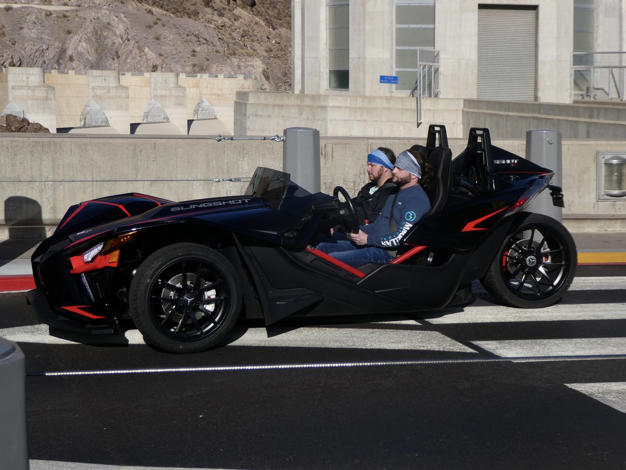
Leaving the dam, we stick to the pavement rather than the trail, taking the Hoover Dam access road that was once part of Highway 93. This was unintentional, and not really recommended. We were trying to avoid climbing back up through the parking garage and up that zigzag ramp. We managed that, but failed to find our way back to the trail again so we stuck to the pavement for the next five miles before dropping back down to the lake and rejoining the river Mountains Loop. The road is reasonably quiet today, but from our previous experience I know it can be an uncomfortable ride at times.
On the map, there are a few places where it seems like you could cross over to the trail from this road. At one point just above the dam there is a short connecting dirt road, but it’s barricaded by a gate signed stating that public access is forbidden. We ignored that sign last time, because the traffic was bad enough that we decided to risk some embarrassment. Today though, with the road so quiet, it seems the wrong choice to me. I talk Rachael into continuing on the highway with the assurance that there was another, much better access not far ahead.
I’m quite good at making pronouncements with assurance when in fact I have no idea what I’m talking about. My idea was to take the short spur to a scenic overview (labeled Lake Mead Scenic Overview on the map) and then connect to the trail immediately adjacent to it. Don’t be fooled though - unless your map is 3-D, it won’t reveal that the trail is immediately adjacent, but 100’ straight down, passing beneath our feet through one of the tunnels. Definitely a nice view though.

| Heart | 1 | Comment | 0 | Link |
Eventually we arrive at the turnoff to a real access, and drop down to the trail. A six mile climb back to Boulder City later, we roll up to our room. The neighbor’s curtain is open, and we’re startled when the smoker from this morning and a second guest immediately rush out and express great relief to see that we’re alive and well. They tell us the shocking news of the tragic accident that occurred this morning (see the previous post), and have been fearing all day that we had been among the victims. They had obviously been discussing it a lot - in the background I hear a small child exclaim ‘Thank Heavens’! Indeed.

| Heart | 2 | Comment | 2 | Link |
4 years ago
4 years ago
Video sound track: Wonderland, by Spencer Brewer
Ride stats today: 44 miles, 3,500’; for the tour: 717 miles, 27,200’
Today's ride: 44 miles (71 km)
Total: 715 miles (1,151 km)
| Rate this entry's writing | Heart | 6 |
| Comment on this entry | Comment | 3 |
4 years ago
4 years ago


4 years ago
4 years ago