August 6, 2022
In Conwy: up the river
In what’s likely to be our last bike ride together for a few days at least, Rachael casts her vote for an out and back south up the River Conwy. On paper it looks like a pretty simple ride, with the first 18 miles keeping a fairly low profile as it keeps near the river. The last few miles are a sustained climb to the top of a saddle, but it’s an out and back so we’ll just bike up as far as we want and then turn back. Likely I’ll get off easy by falling behind taking photographs while Rachael charges ahead to the summit.
The first 12 miles are the same as the start of my wallet-losing loop two days ago so there no need to stop for more than a few quick snaps.

| Heart | 1 | Comment | 0 | Link |
After twelve miles we come to the junction where I climbed steeply up into the national park. We’re not doing that today - our plan is to continue south along the river on the B5106; but first I notice a sign with a photo of a double arched bridge that points toward Llanrwst. I talk Rachael into taking a short detour to check it out and hope that it won’t require a steep drop to the river for small reward, like the last bridge hunt we embarked on.
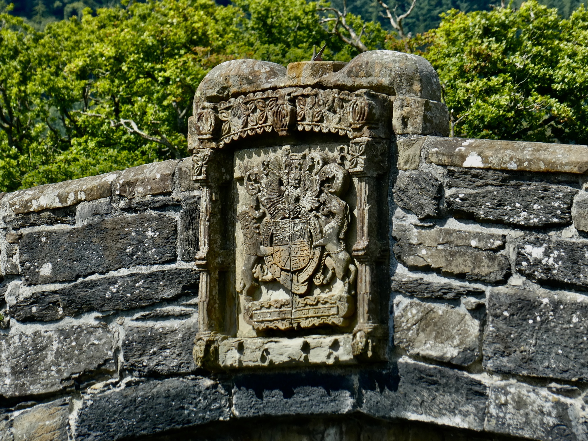
It’s the right decision. The triple arched Pont Fawr Bridge is easily the best bridge we’ve seen in England so far, if you don’t count more modern engineering marvels like the suspension bridge in Conwy or the immense Humber Bridge. And for a change there’s a clear side view of it available looking at it from upriver with the sun illuminating it.
While I’m taking my shots a man walks past and stops to chat, asks where I’m from and why I’m here, and expresses appreciation when I say we just want to see the country. He says they see few Americans here unless they’ve got historical roots they’re researching. I get credit from him too for the fact that there’s no e- on the bike. Just a matter of time, I assure him.

| Heart | 5 | Comment | 0 | Link |

| Heart | 1 | Comment | 0 | Link |

| Heart | 2 | Comment | 0 | Link |
From our cursory look, little Llanrwst looks really attractive. There’s lodging, a few places to eat and what looks like a network of small roads worth exploring on a bike. Not for us today though. We return back on route and continue south, soon coming to the end of our road when it intersects at Betws-y-Coed with A5, the same busy highway that made me uncomfortable riding on it two days ago.
Betws-y-Coed is a madhouse when we arrive, flooded with tourists on the bridge, walking the road and lining the banks of the river. The town bills itself as the gateway to Snowdonia, and on this fair weekend day everyone is out. It looks like it could be appealing at a quiet time and if it didn’t have the traffic from A5 rumbling through its heart; but it doesn’t hold any interest for us today. We consider turning back but after consulting the map we see that after a few hundred yards we’ll be getting off A5 onto a presumably quiet side road so we continue on.
Not much farther on we cross the Conwy on yet another old bridge, the Waterloo, and soon start climbing. I see now that we didn’t stop to properly appreciate the Waterloo, so named because it was built in 1815, the same year as the Battle of Waterloo. It’s a renowned structure designed by Thomas Telford. The architect of the Conwy suspension bridge.

| Heart | 3 | Comment | 0 | Link |
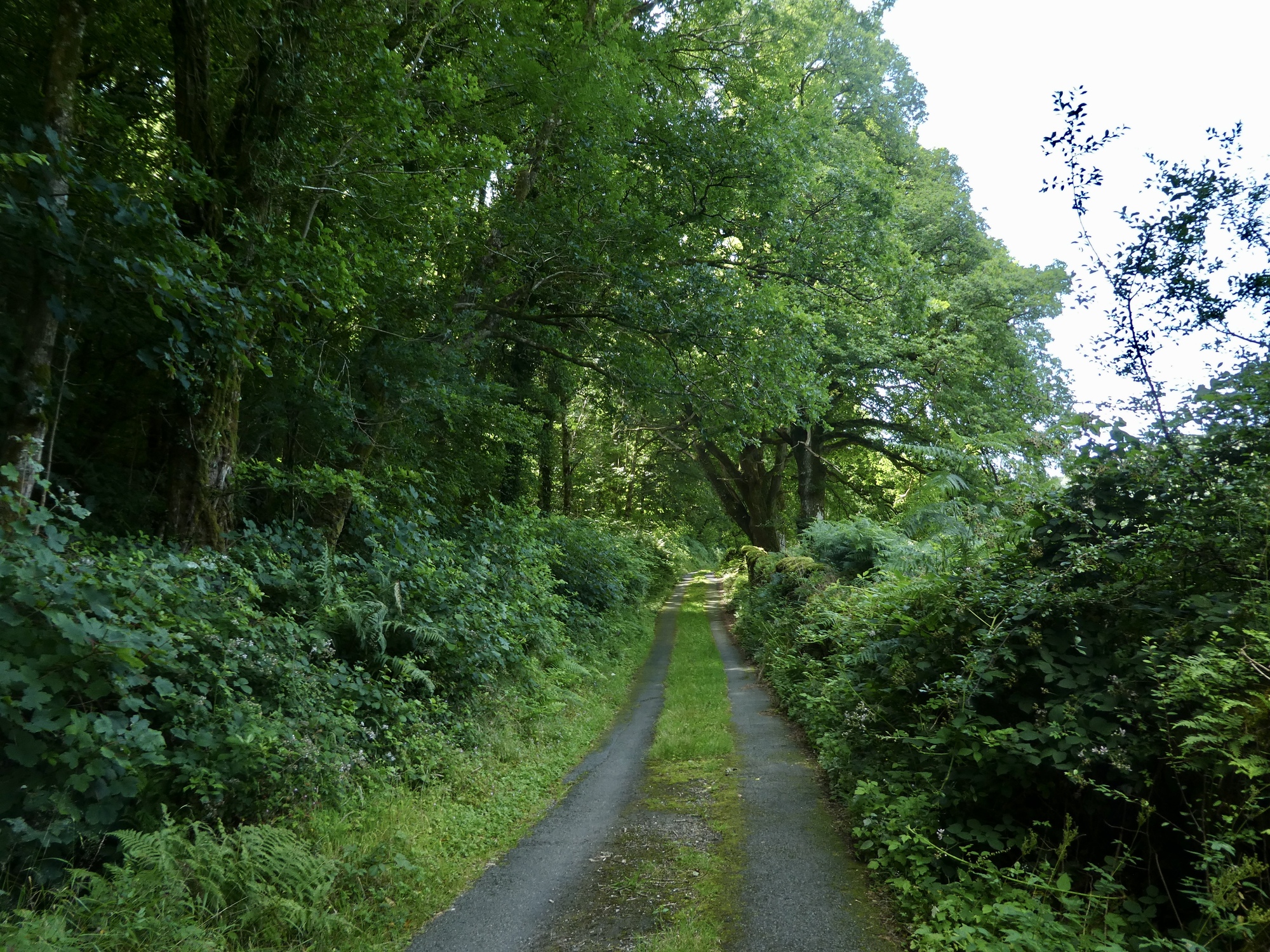
The next three miles climb almost a thousand feet, presenting us with most of the day’s work as well as most of its interest. A steep narrow lane, it begins paved but gradually deteriorates. With its irregular surface and steep grade that tops 20% in spots it’s a slow go and sees us both walking a fair bit of it. Rachael’s gotten ahead of me and I’m impressed as I’m struggling up the slope that she hasn’t turned back yet. There are certainly plenty of excuses to do so.

| Heart | 1 | Comment | 0 | Link |

| Heart | 2 | Comment | 3 | Link |
2 years ago
2 years ago

| Heart | 1 | Comment | 0 | Link |

| Heart | 2 | Comment | 0 | Link |
We finally reach the top and the end of our mapped route and stop for lunch. We’ve got limited enthusiasm for dropping back down the way we just climbed and I suggest the possibility of going forward instead, returning to town down the opposite side of the river. I’d mapped out this route and remember it’s about four miles longer, so it’s something to consider. We didn’t load it to the Garmins though and there’s no cell coverage so we can’t look it up on RideWithGPS.
It doesn’t seem like the smart thing to just go forward blindly and trust to luck and instinct (especially because we’re not seeming especially lucky lately) so we just backtrack. It’s a quite slow descent for the the first two miles - the lane is too rough, narrow and steep to bike in places, so we walk downhill a good share of the way- but now we’re finally through it we ride straight through the rest of the way.
Not a bad ride at all, but I suspect it’s not one we’d take again with all of them other spectacular rides available.

| Heart | 1 | Comment | 0 | Link |
Video sound track: Juvenescence, by Yasmin Williams

| Heart | 1 | Comment | 1 | Link |
Ride stats today: 41 miles, 3,500’; for the tour: 1,664 miles, 92,000’
Today's ride: 41 miles (66 km)
Total: 1,663 miles (2,676 km)
| Rate this entry's writing | Heart | 4 |
| Comment on this entry | Comment | 0 |


