July 7, 2024
In Helmsley: crossing Helmsley Moor
We’re in luck and appear to have a four or five hour dry window this morning so we’re both out the door soon after breakfast. We have similar, overlapping plans - Rachael’s got a twelve mile walking route north to the edge of Helmsley Moor, which from the map and my experience yesterday makes it look like she could see the heather. I scrapped my original plan of biking south when I spot a short road north I’d missed before: Barton’s Sprunt climbs for four miles before the pavement ends just shy of the moors, but a track continues on beyond that for as far as I have patience to go. It won’t be a long ride, but if the surface isn’t too bad I might enjoy poking around on the moor for a mile or two before turning back.

| Heart | 2 | Comment | 0 | Link |
Rachael’s out the door about 9:30 and I lag her by about fifteen minutes. As I’m climbing up the Sprunt I can see her marker on the Garmin, about a half mile to my left on a walking path. She’s a ways ahead of me from her early start, but it looks like we could meet up somewhere around where my pavement ends.

| Heart | 2 | Comment | 0 | Link |
I’m well up my sprunt sprint when the phone calls. It’s her, to let me know that she’s changing her plan because the route she has mapped is blocked by high water. It’s hard to tell what she’s saying though because she’s almost giddy, talking about all these birds running around in front of her. She tries to describe them but then we lose our connection and I won’t hear from her again until we’re both back in the room.
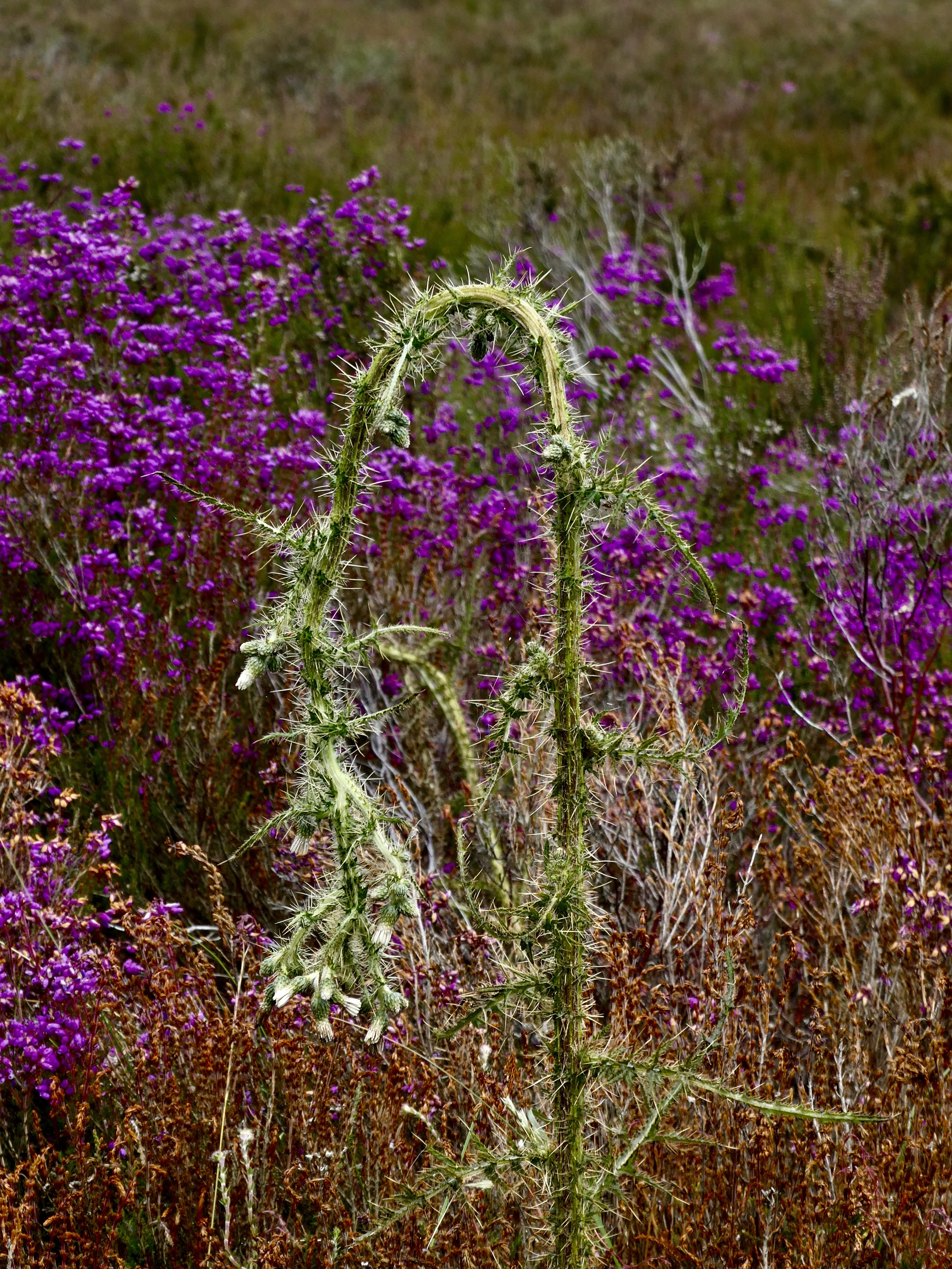
She takes several photos of these birds, one of which is clear enough that it’s identifiable. It’s a young pheasant, and these are all poults - young poultry (turkeys, pheasants and the like) raised as game birds. And she brings back a video to share with us. Endearing, as long as we don’t think too hard about their likely fate.
As I continue climbing I monitor her marker. It looks like she’s taken a right turn and is heading straight toward the road I’m on, but eventually she stops, turns back, and drops back down to town - another in her frustrating series of recent walks that doesn’t quite pan out.
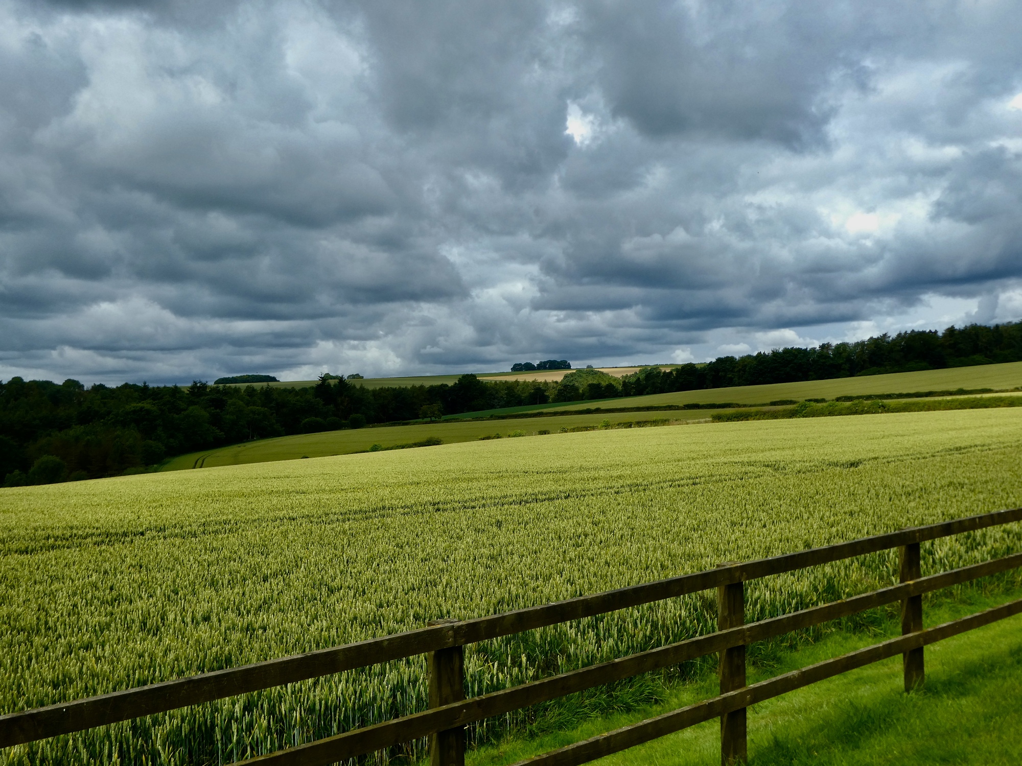
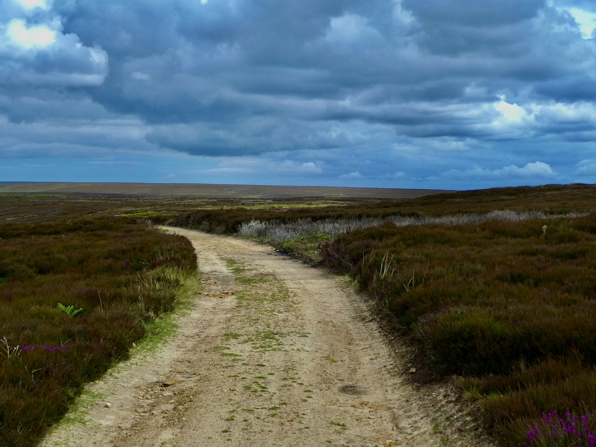
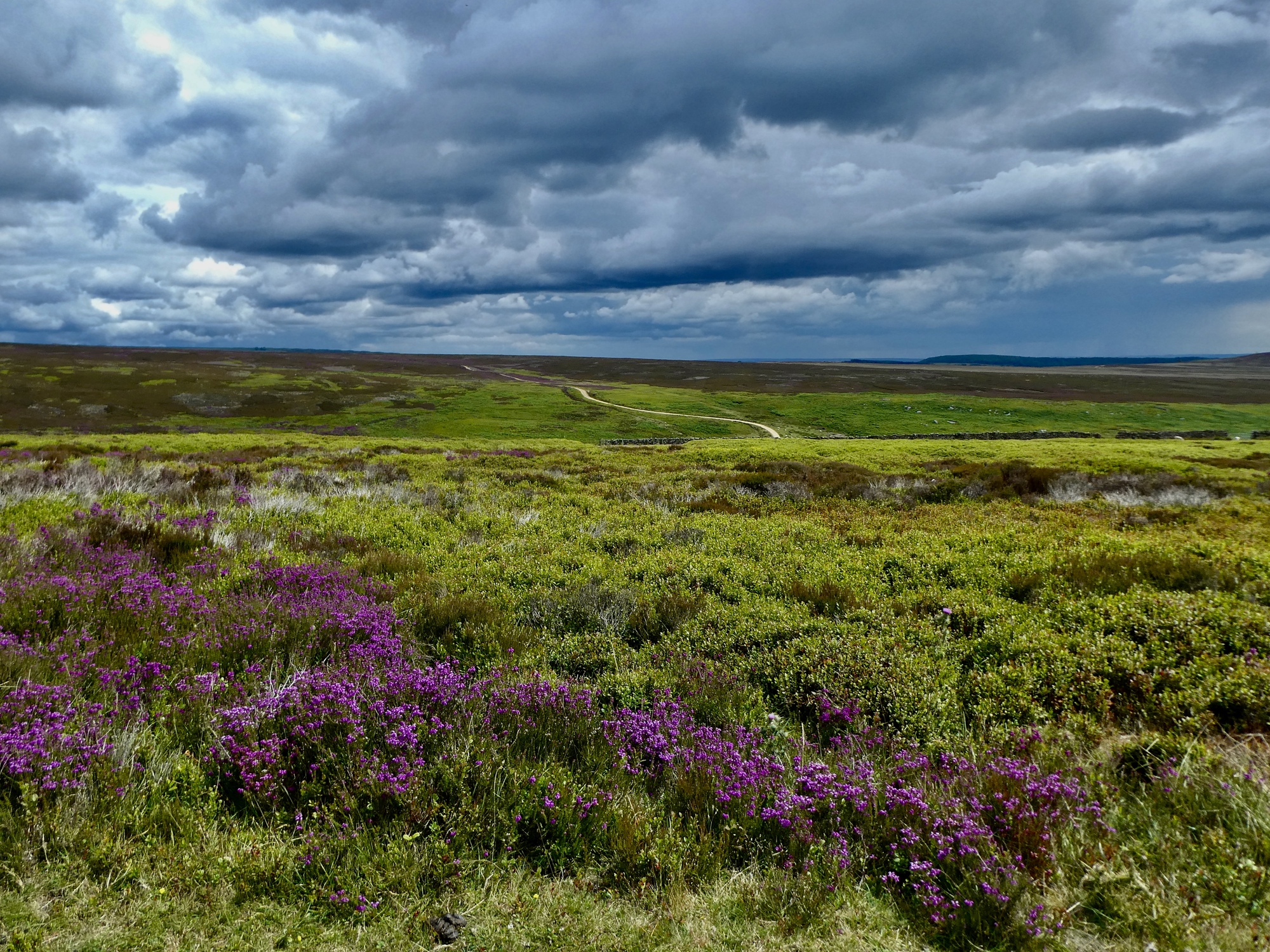
Right at four miles I reach the sprunt’s summit, look ahead, and see the open moor not too far beyond. In between is a modest trough with a sketchy bit of pavement dropping to the bottom. I follow it down to where the pavement ends and then continue up the other side on the dirt track that succeeds it. Eventually I come to an unmarked gate that makes me wonder at first if passage is open to the public. When I lift the rope latch to let myself through though I see a pair of trail markers that encourage me to continue on. I’ve reached the moor.

| Heart | 3 | Comment | 0 | Link |

| Heart | 0 | Comment | 0 | Link |

| Heart | 7 | Comment | 1 | Link |
https://www.inaturalist.org/taxa/57630-Dactylorhiza-fuchsii/browse_photos
1 year ago

| Heart | 3 | Comment | 4 | Link |
We're back home - the walk was awesome!
11 months ago
11 months ago
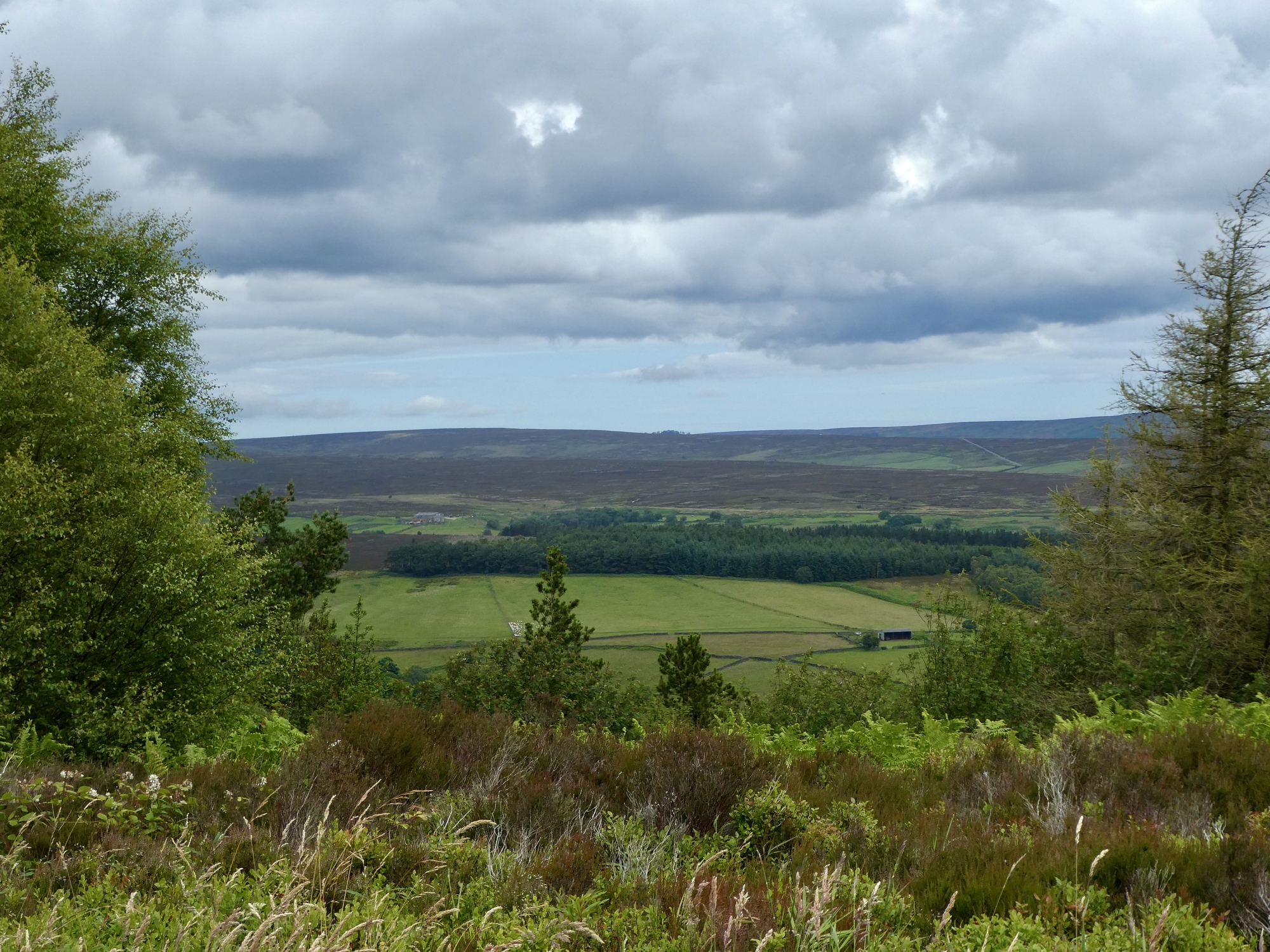
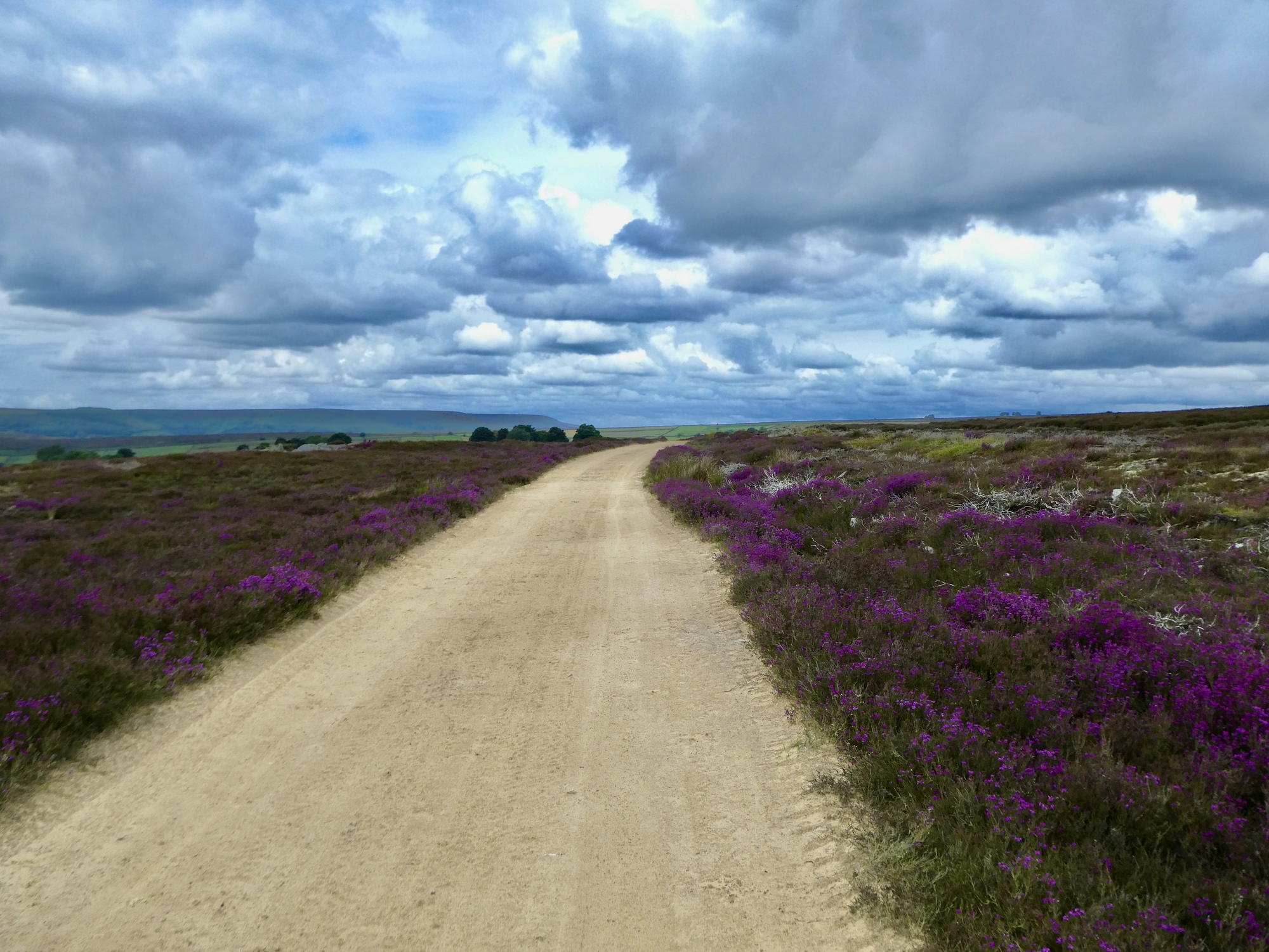
The moor is about as you’d expect - open, exposed, gorgeous. The surface of the track is just fine, with the occasional puddle to be skirted but a reasonable clayish riding surface. It’s not one I can take fast but I’m in no hurry anyway as it’s amazing in all directions. And quiet - I won’t see another person or vehicle until I eventually return to pavement. It feels like an adventure.

| Heart | 6 | Comment | 0 | Link |

| Heart | 1 | Comment | 0 | Link |

| Heart | 5 | Comment | 0 | Link |

| Heart | 4 | Comment | 1 | Link |
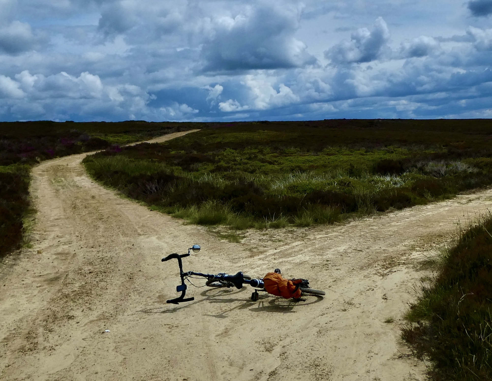
My plan going in was to bike perhaps a mile and then turn back, but as the track continues to give an acceptable ride I stare at the map and see that if I stick with it I’ll eventually come out the other side on the paved road I took yesterday on my way out to Bransdale. I decide to pick that as an optimistic goal instead, with the thought that I’ll watch my distance to make sure I’ve got time to just turn back if I get blocked somewhere.

| Heart | 3 | Comment | 1 | Link |

| Heart | 1 | Comment | 0 | Link |
| Heart | 3 | Comment | 0 | Link |

| Heart | 2 | Comment | 1 | Link |

| Heart | 3 | Comment | 0 | Link |

| Heart | 6 | Comment | 0 | Link |
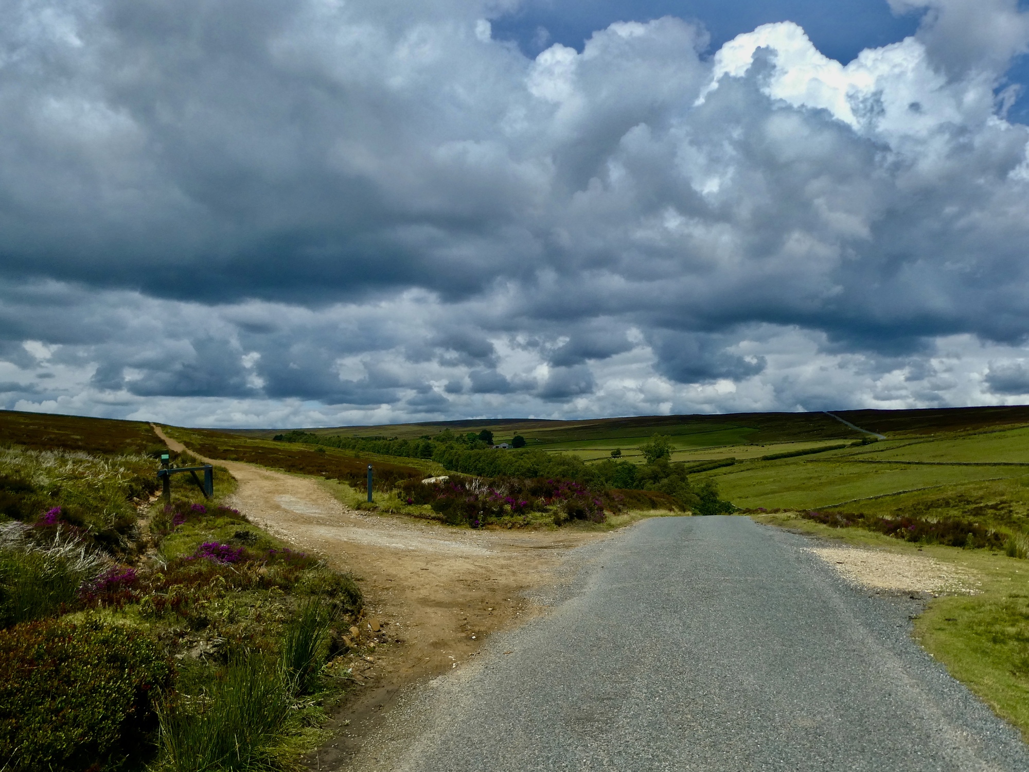
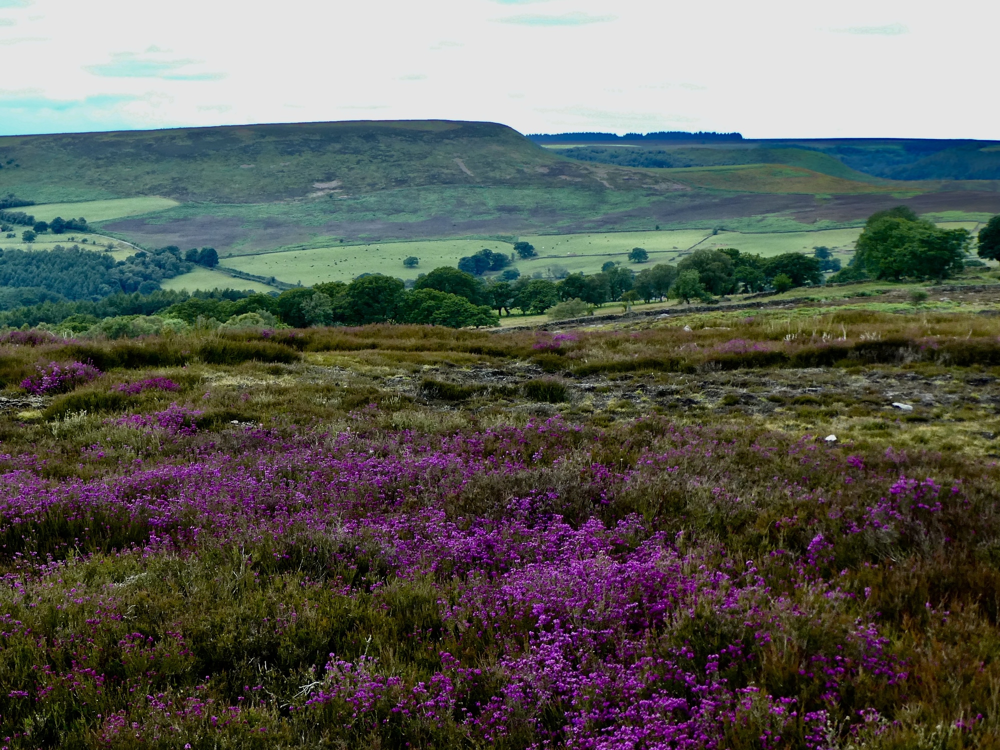
I’m on asphalt again, but I’m still in the moor for another mile or two and keep getting slowed down by the striking vistas. I was just here yesterday but conditions are different enough (that is, greyer and gloomier) that it has a fresh feeling.
| Heart | 6 | Comment | 0 | Link |

| Heart | 3 | Comment | 0 | Link |

| Heart | 3 | Comment | 0 | Link |
I’ve still got about four miles to go when I come to the steep drop down to the Rical that I remember from yesterday. The climb back out is nearing 15% and I’m trying to decide whether I’d be happier pushing when fortunately I see two bikers approaching from behind. Fortunately because it gives me the just nudge I need to kick it up a notch and stay in the saddle until I reach the top. And that’s fortunate because it results in me being only a half mile from town when the rains start, too late to do any real damage.
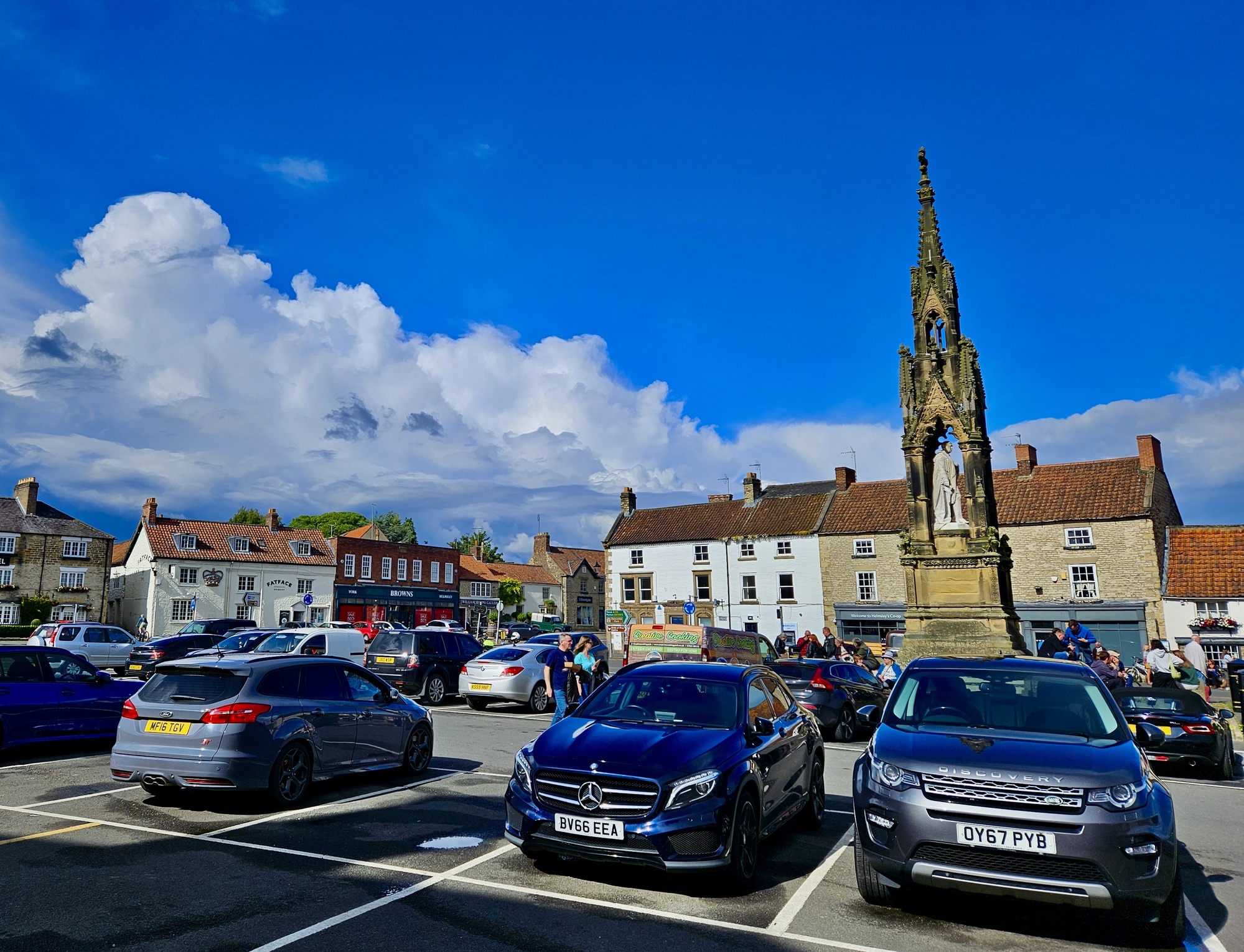
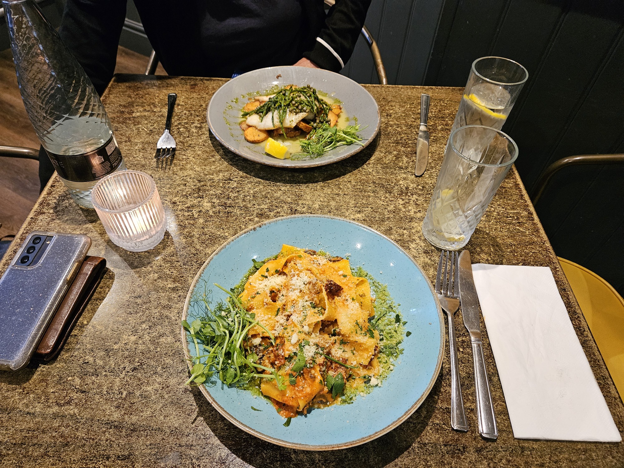
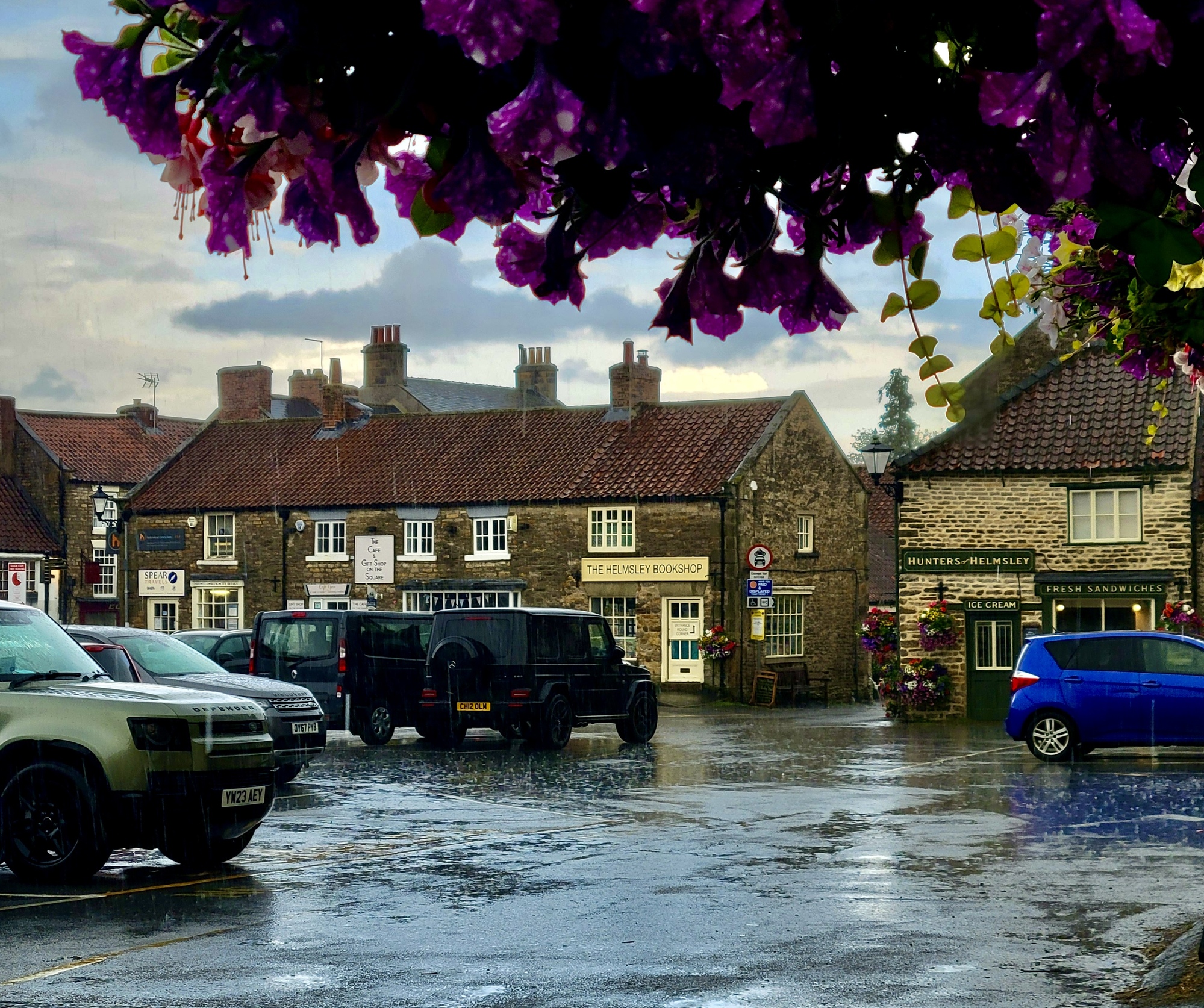
Six comes around and we’re walking across Market Square on our way back to the Italian joint. I annoy partner by asking her to lend me her phone so I can take a few shots of the dramatic sky, now a mix of contrasting intense blue and white. Fortunately La Trattoria doesn’t give away our table in the minute that took, and we enjoy our second very nice meal there.

| Heart | 3 | Comment | 2 | Link |
1 year ago
1 year ago
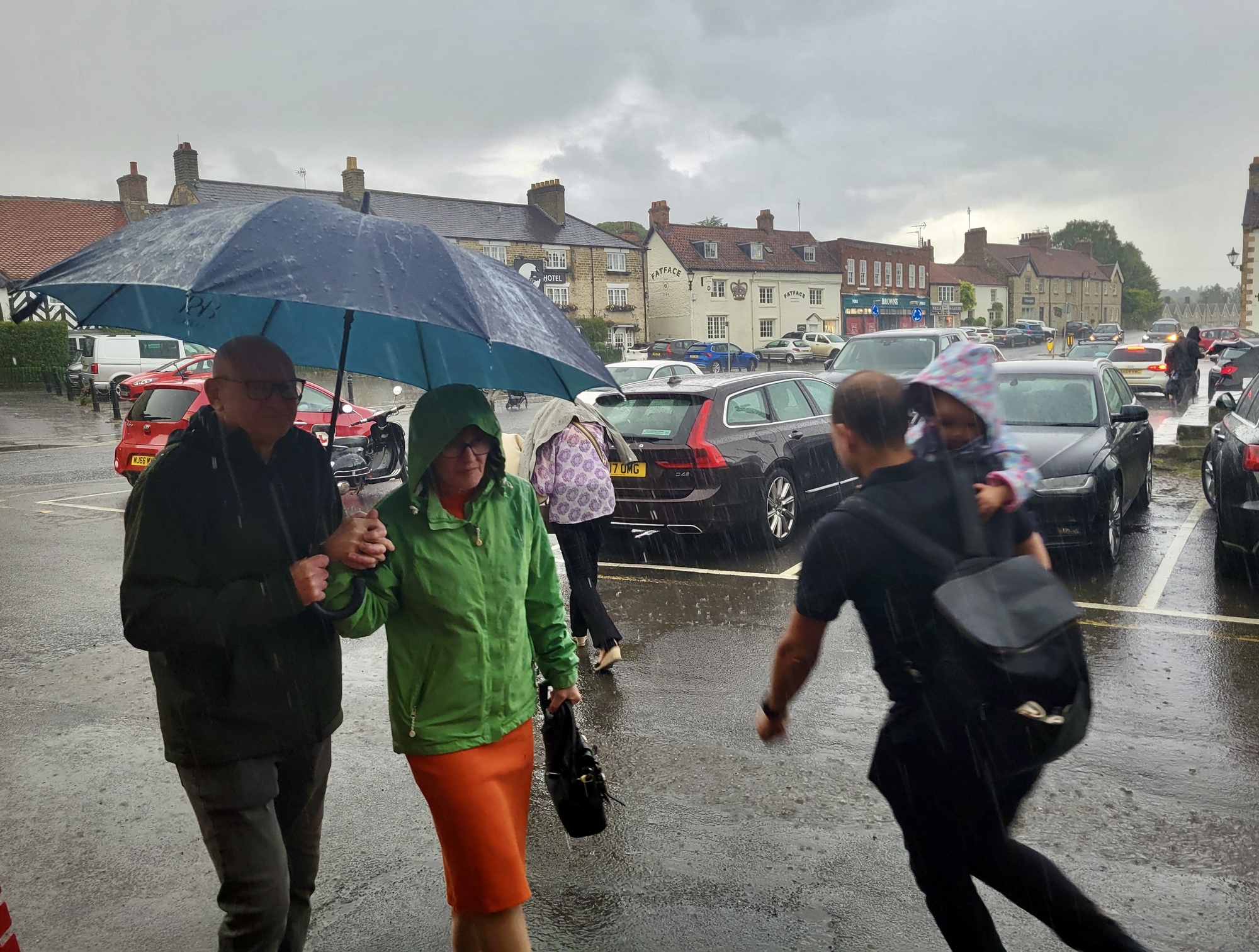
It was worth the minute that held us up because the photos make such a nice contrast to the ones I take when we leave the restaurant an hour or so later. When we get to the door I’m tempted to suggest we turn back to reclaim our table and order a desert or coffee because we certainly don’t want to step outside now. We stare at this cloudburst, nervously laughing as we watch people dash for their cars and talk with a party of five guys huddled there with us. We wait for several minutes and when there’s no sign of it letting up one of them makes a dash for it. He returns with a van a few minutes later and they all rush into the open and hurriedly pile in. Then the driver rolls down the window and gestures to us to join them, giving us a much appreciated lift to our B&B less than two blocks away. Even at that we’re both thoroughly soaked just from that short dash to the car.
Today's ride: 17 miles (27 km)
Total: 2,574 miles (4,142 km)
| Rate this entry's writing | Heart | 9 |
| Comment on this entry | Comment | 0 |