Day 25 Wall to Murdo SD
I planned to ride through the Badlands Loop and then along I-90 for a dozen miles before heading north to Philip SD. When I got up this morning there was a heavy overcast and the weather channel had a severe storm watch for the area where I would be riding. Curses! Maybe I should just stay in Wall for another day? I could ride through the Badlands unloaded and come back to Wall. Then I could do a long ride to Pierre tomorrow. I talked with Ann (of Ann's Motel) about the forecast. She said the forecasts were almost always wrong. The weather out here is highly unpredictable - there was a lot of hail 'half an hour south' last night, but no bad weather in Wall - and the overcast would clear by 10:30.
After breakfast at Wall Drug - OK, but not enough food for a cyclist, I left Wall about 9 AM heading towards the Badlands Park on SD 340. It was

| Heart | 0 | Comment | 0 | Link |
heavily overcast and muggy with temperatures in the mid 60s. The wind was initially out of the west at maybe 5 mph. Wind direction varied a lot during the day, but wind speed was never very high. The overcast remained till about 2 PM, which was probably good thing as the severe storms didn't develop until late evening - just as I was finishing my ride.
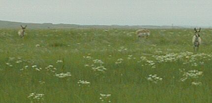
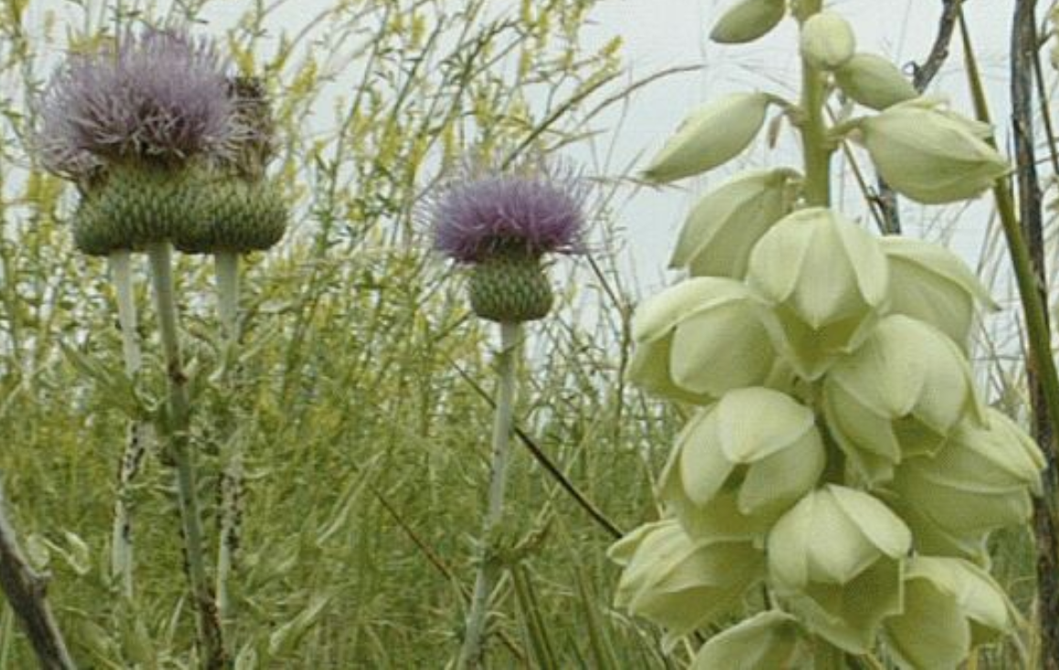
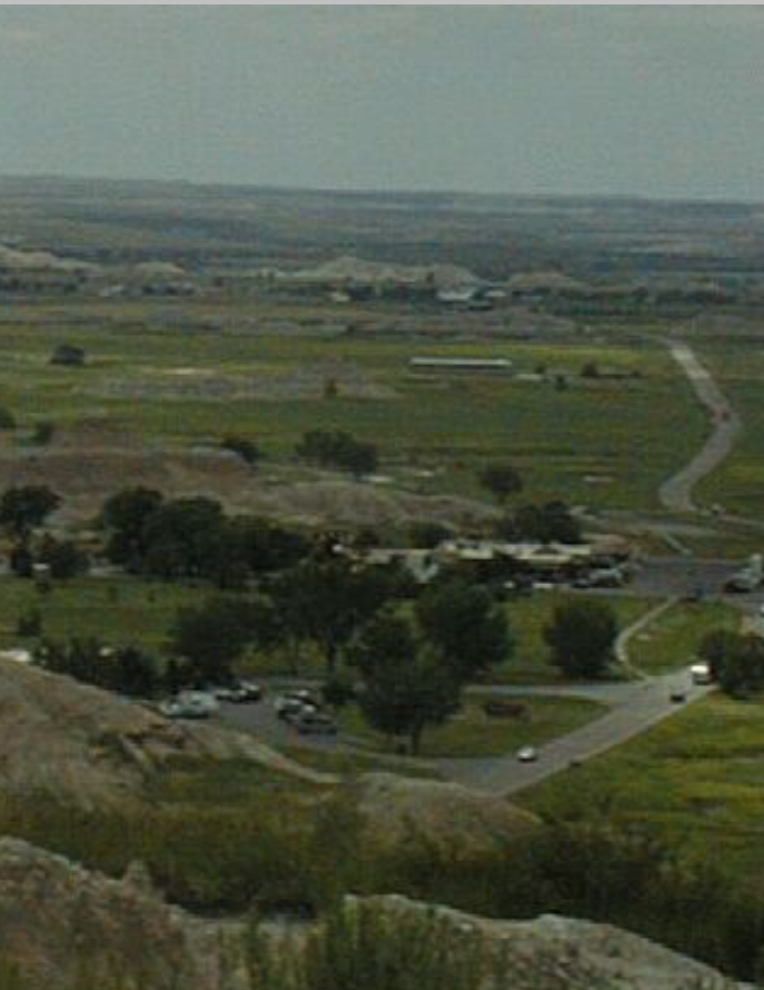
Even with clouds, the ride through the Badlands was great. Much of the ride is pretty flat - it goes along the ridge tops, but the climbs up to the ridges are steep, at least 10 % grade, so bring a low granny gear or be willing to walk. None of the climbs are more than a hundred or two hundred feet vertical, so walking would not be a big deal. The road mostly does not have a shoulder, but the traffic moves slowly and I didn't have any problems. The traffic increased a lot by early afternoon, but I rode through on the Friday before the Fouth of July weekend. It would be best to ride on a non-holiday weekday morning. Here are some sample shots, I plan to do special page on riding through the Badlands.
I stopped for lunch at the Cedar Pass Center. This is the only food concession in the park and I had a pretty good 'indian' taco. I rode out of the park and up to I-90 at milepost 131, planning to ride on I-90 to milepost 143 where SD 73 goes north to Philip, but much to my relief, I found that I-90 has a frontage road starting at milepost 131. This is the old highway that I-90 replaced and it is very good, if a bit hilly, riding. It is nine miles from Wall to the park on 240, and about 30 miles riding through the park.


Cedar Pass Center
Coming out of the National Park is a let down, since you ride back into the world of tacky signs and tourist 'attractions', but when I got to the interstate, things improved. I expected to have to ride I-90, but instead I got to ride the 'old road.' Two lanes, no signs, nothing but farms, hardly any traffic - a vehicle an hour! - and lots of wild flowers and birds. This road runs from a hundred feet to a mile or so south of I-90. All the services - not many! - that are available on I-90 are also available on this road, but little of the noise, and none of the wind blasts or smell, is present. There are some steep hills - I used my granny gears on some of them - and a few potholes.
Frontage Road
When I got near the road north to Philip, I had just climbed a big hill and I could see Philip off to the north and Kadoka off to the east. Kodoka looked like it would have a lot more services and I could see that the road I was on continued to Kadoka. I decided to keep riding east. I knew there would be services in Kadoka, less than ten miles away, and Murdo, fifty miles away and I hoped there would be services in Belvidere, 20 miles away.
I stopped in Kadoka for a rootbeer float at Happy Chef. Slow service, lousy float, darn! I didn't feel like stopping at any of the motels, so I rode on towards Belvidere. Nice riding, but the old road went out of sight of the interstate and I got worried where it might be heading. My paper map didn't show it all, so I stopped and cranked up Street Atlas on my computer. I got the information I needed, but also got very muddy in the field beside the road.
Coming into Kadoka I crested yet another hill (did I say it was hilly?) and saw a motel sign, but when I got the motel, nobody was home. Kadoka would have been a good place to stop, close to half way between Pierre and Wall. I went to a gas station/convenience store nearby and the nice lady there tried to find the motel owner for me, but couldn't. It was thirty miles more to Murdo and about three hours to sundown, so I rode on. I could have stopped at a KOA ten miles later, but instead I stopped, ate supper from my supplies, and continued riding east.
It was clouding up behind me as I rode and I had a gentle head wind. Still nice riding conditions and I knew the next day would be hot (I haven't been hot all week!) and humid, so it was good to be able to take advantage of this cooler weather. The clouds continued to build until they blocked the sun. I didn't see it again till I got to Murdo and it was setting and shining below the clouds. It was a long twenty miles, but pleasant. All the folks I met (two or three vehicles) were friendly and, although the weather was building behind me, I wasn't too worried about making Murdo before it got nasty. For the last ten miles I had a gentle tail wind.
Murdo at dusk
Shortly before Murdo (five miles?) I decided to pull over to turn on my rear flasher. When I headed towards the edge of the road, I was greeted with a black and white tail that suddenly popped up in front of me. The working end of a skunk was pointing right at me! I quickly changed my course and the skunk did not spray. I rode on down the road a ways and stopped in the lane to turn my flasher on. It was good that I did since I had a car without lights pass me as I was coming into Murdo. I also had a few drops of rain hit me as I entered town and heard distant thunder. A couple of hours later the thunder was very close and very loud.
| Rate this entry's writing | Heart | 1 |
| Comment on this entry | Comment | 0 |


