May 12, 2022
To Les Quatre Routes
Parc naturel régional des Volcans d'Auvergne
What a day!! And to think I almost missed it!
Jacques, one of the proprietors at Château de Sevennes, took a look at my planned route through the park yesterday afternoon and suggested an alternative route that was hard to beat – a section of the 2020 Stage 13 Tour de France (TdF) with gobsmacking scenery. He rattled off a list of the “must see” towns along the route and left me scrambling to see how I could link it to my next night’s reservation. At first glance it seemed it might be doable, but before I could give it serious thought it was time for dinner and all route editing was put on hold.
I should note here that I carry a computer with me, a very, very light-weight 11” MacBook that I use for all my route planning. It works great, but it does need WiFi. There was no WiFi in the rooms at the Château de Sevennes; it was available only over a short range in the dining room. After dinner I tried using my phone for route editing and as a WiFi hot-spot, yet both failed, perhaps because the 4G was also weak in this isolated area. I went to sleep thinking I would delay a final decision on my route until morning. However, I awoke about 2:30 and couldn't get back to sleep. I seriously wanted to do Jacques’ route, but I was worried about the added distance (7 miles), increased elevation gain (1000 ft), and the predictions for rain.
And then two things happened that led to my final decision. The first was the discovery that I could get a WiFi signal in my bathroom (Jacques had mentioned this might be possible as it was directly over the modem). The second was the realization that I could book a room at a different hotel, one closer to the end of the “Jacques route”. I would likely eat the cancellation fee at my current booking, but hey – how often do you get to ride a significant portion of a TdF route! So, there I was at 3 am - in the bathroom, hunched over my computer furiously routing and booking hotel rooms. The excitement of the day had only just begun.
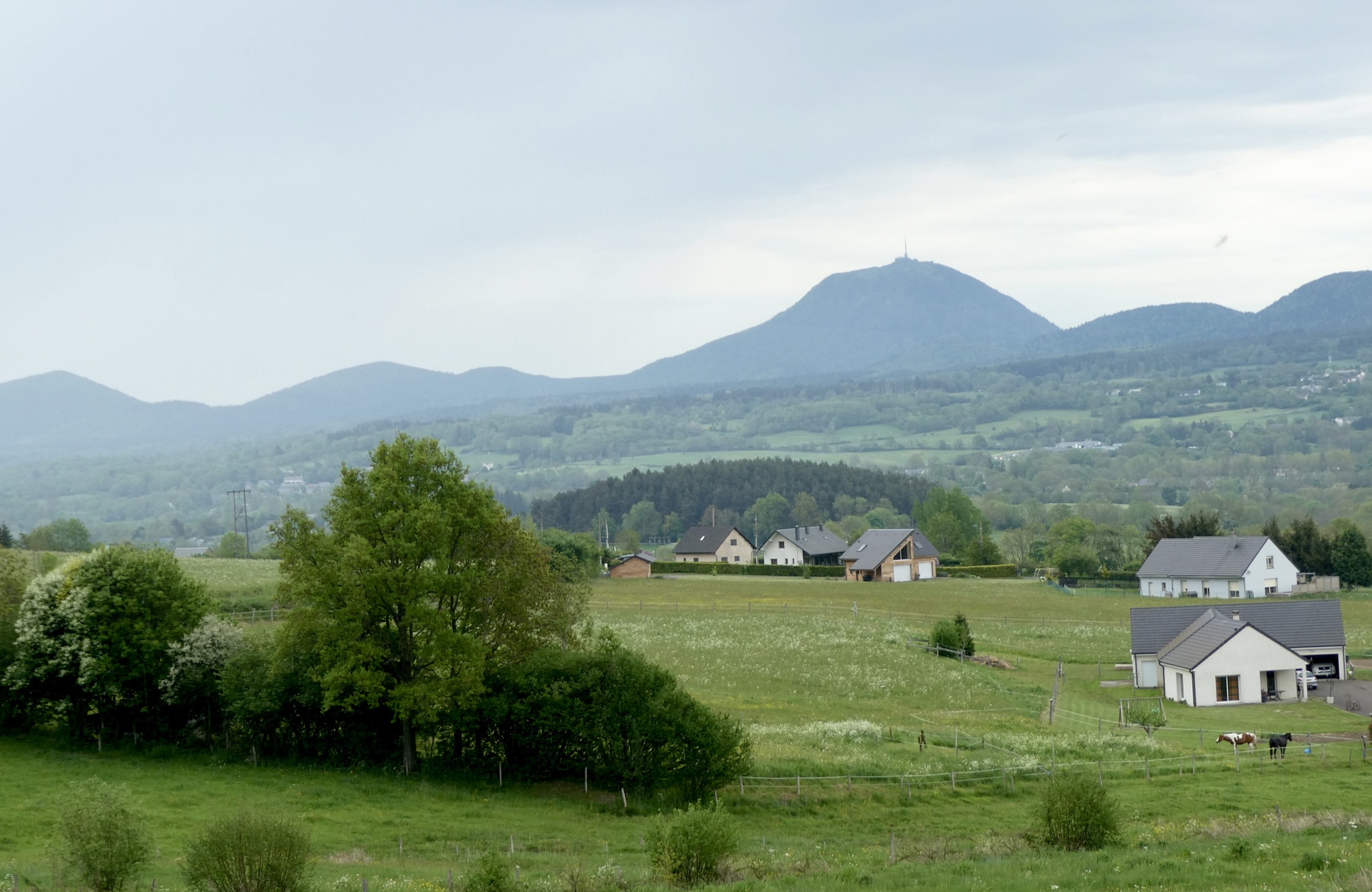
I did get back to sleep, but not for long – rising early enough to catch the sunrise over Puy de Dome and the Massif Central. The weather forecast was for periods of light rain all day, with temperatures in low 60s – not the best forecast for a route filled with gobsmacking scenery. The route started with a series of short climbs and descents that overall gained about 500 ft in elevation before swooping down into Saint-Sauveur-de-Montagut where I stopped for a warming coffee to ease the chill brought on by the light rains that had started just as I entered Parc naturel régional des Volcans d'Auvergne.

| Heart | 4 | Comment | 0 | Link |

| Heart | 5 | Comment | 0 | Link |
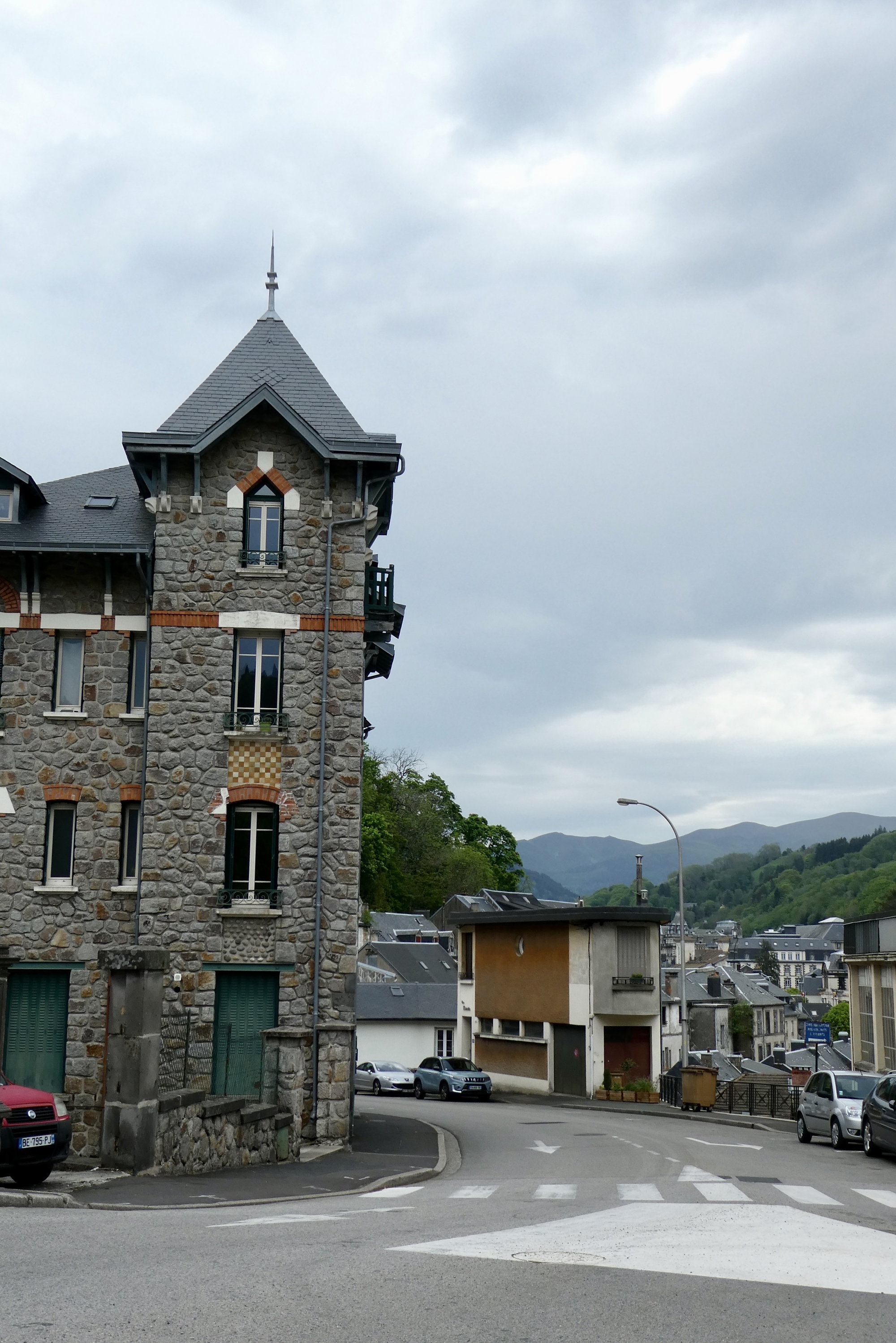
During the next five miles to La Bourboule, I was questioning Jacques definition of spectacular scenery. The route wound through a narrow, tree lined valley along the Dordogne River, and my views were limited to trees and passing automobiles. My first impression of La Bourboule was just as underwhelming, until I rounded a final curve and saw an architecturally interesting town laid out along the two banks of the Dordogne River.
I continued past along the Dordogne as I made my way up to Mont-Dore, near the river’s source in the Massif Central. Mont-Dore is a ski and spa town located just north of Puy de Sancy. As with La Bourboule, the surrounding terrain/landscape dictate the layout of the town – in this case a series of switchbacks in the roads leading into/out of town result in narrow streets no wider than a single building. Within a half hour, the rains had stopped and I continued on, climbing out of town on a narrow street lined with parked cars. The climb was rewarded with an amazing view looking back at the small town nestled below the Puy de Sancy and the peaks of the Massif Central.

| Heart | 1 | Comment | 0 | Link |

| Heart | 3 | Comment | 0 | Link |

| Heart | 4 | Comment | 0 | Link |

| Heart | 2 | Comment | 0 | Link |
The climb continued on past Mont-Dore, on an excellent road that had no doubt been spiffed up for the 2020 TdF. Most of the route was tree-lined but occasionally opened up to a one of volcanic cinder cones that give the park its name. After five miles I reached Lake Guercy, a wonderful fishing lake formed millions of years ago when lava flow blocked one of the high mountains springs. After a just bit more climbing I came to the top – and was delighted to find I’d ascended the Col de Guercy - I'd obviously done little of my own research on today's route. Thus, when I started downhill I almost passed by the parking lot populated with tour buses, deciding only at almost the last minute to pull into a viewing area. And boy am I glad I did – an unbelievable view over the valley dominated by the volcanic cone Roches Tuilière and Sanadoire. I was gobsmacked.

| Heart | 3 | Comment | 0 | Link |
The five mile descent through the valley to Orcival was a sheer delight, both in terms of the ride and the views. It was a low-traffic route taken by the TdF on their up the Col de Guercy and the roads still bore the words of support for the French rider Romaine Bardet. The small town of Orcival was just a dip and bend in the road as I kept heading down to my Logis hotel at a small crossroads in the middle of nowhere. The rain held off until I was about a mile from the hotel - I could have stayed completely dry had I taken few photo stops - but the real downpour did not begin until I was safely inside.

| Heart | 4 | Comment | 0 | Link |
Once I’d gotten clean, dry and warm, I reflected back on the day – how I’d almost missed this amazing and unique ride - through the quirky towns and along a chain volcanic cones and rocks. It was not an easy day – a bit cold and rainy, physically challenging, and I did lose about 100€ in hotel charges. But every nanogram of hardship was rewarded with kilos of joy. Thank you Jacques!
Today's ride: 36 miles (58 km)
Total: 762 miles (1,226 km)
| Rate this entry's writing | Heart | 11 |
| Comment on this entry | Comment | 4 |
2 years ago
2 years ago


