May 23, 2018
Day 5 Stealth Oregon

| Heart | 0 | Comment | 0 | Link |
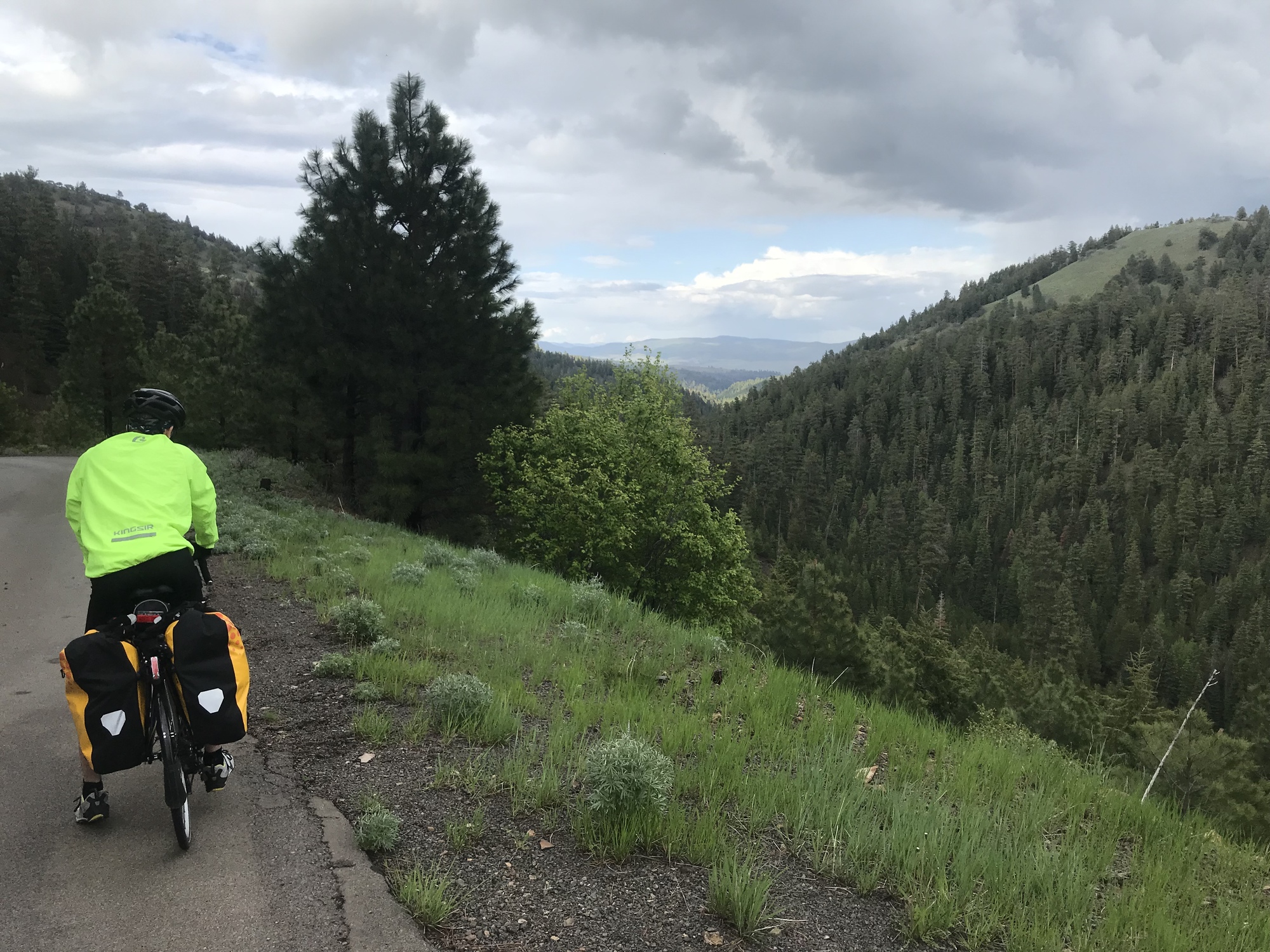
Stealth Camping in a farm field, in nowhere Oregon. Today was a full day of contrasting weather and road conditions. We set out with a plan of going 65 miles to the last camp before leaving the Malheur National Forest. The elevation map was like a kid’s scribbling. Started out with a gradual climb that got steeper as we got higher. It leveled off after we got to the ridge and we saw some thunderstorms rolling over the mountains to the north. We stopped at a campground to fill up our water and the rain and hail started 5 minutes later. We moved our bikes behind the privies, then waited out the storm inside. There were some nice long grab bars...perfect for stretching! 😀 After that storm passed, it was just lightly raining, so we put on our rain gear and headed onward. Thankfully the next 15 miles was gradual ups and downs, but it rained the entire time. We determined that our rain pants and our homemade shoe covers work great, the cheap extra lightweight jackets Jon found online , only so-so. But we survived 2 hours of biking in the rain and eventually the storms passed, but it was still pretty cold. We had a 6 mile section that was all downhill. Definitely tested the braking power of our bikes and the strength of our forearms! We could barely feel our fingers by the time the road leveled out. The sun finally re-emerged around 4:00, warming us up, as did the 6 mile climb back out of the hollow we’d just dropped into. That was a really rough climb. Stopped numerous times to catch our breath and give our legs a break. We had to walk up one 1/4 mile section that was just too steep to ride. But we nice we got to the rope, we knew it was only 5 miles to our initial destination, El Dorado campsite, mostly all downhill. When we got halfway there, a sign said “pavement end”. Swell. So, the next 2.5 miles was wet gravel road, sometimes rutted, and downhill. We finally got to the campground at a little after 6 and discovered a rundown, rarely used old site that was drenched from the rain, had no privy or picnic tables like the other sites we’d seen. That was depressing and uninspiring, so we pushed on. We also figured we’d get in a few more miles to shave off some of the 95 miles day tomorrow. The forest road intersected with a “real road” as we left the National Forest and we were back in desert sage brush land. Thankfully the next 20 miles was mostly downhill, so the miles went pretty quickly. We settled on a mostly secluded spot off of the road and set up camp watching a glorious sunset. The half moon gave us more light as we crawled into our bags.
Today's ride: 79 miles (127 km)
Total: 3,536 miles (5,691 km)
| Rate this entry's writing | Heart | 1 |
| Comment on this entry | Comment | 0 |


