June 17, 2024
Zarautz to Mundaka
This was one of the toughest days of the trip, if not the toughest. But how hard was it?
That’s a difficult question. I created the route on RideWithGPS and it gave a distance of 92.1 km; my Garmin recorded 93.5 km. Since we did a few deviations from the route, that’s very reasonable, though still longer than I prefer for loaded, hilly rides.
It’s the “hilly” part that’s in question. RWGPS predicted 1781 m of climbing. I try keep loaded days under 1000 m of elevation gain, but it’s not always possible if you like touring where we do. But the highest point on the ride would be only 225 m so we thought either the estimate might be more than usually high. In our experience, RWGPS climbing estimates are usually higher than our Garmins record.
The result? My Garmin recorded 1354 m of total ascent. This is then automatically sent to my RWGPS and Strava accounts. Strava applied its corrections and shows 1357 m of elevation gain. I don’t know why I did this, but I replaced the elevation data for my ride in RWGPS and now it tells me I gained 1803 m! Meanwhile, Al’s Garmin recorded 1266 m and Strava corrected it to 1356 m. I plan to contact RWGPS’s excellent customer service when I get home.

| Heart | 2 | Comment | 0 | Link |

| Heart | 2 | Comment | 0 | Link |

| Heart | 3 | Comment | 0 | Link |

| Heart | 0 | Comment | 0 | Link |
After Itziar, it was a zoom down to Deba, where I’d made sure our route took the pedestrian/cycle bridge over the river, and more spectacular coastline road.

| Heart | 3 | Comment | 0 | Link |

| Heart | 4 | Comment | 0 | Link |

| Heart | 2 | Comment | 0 | Link |
We stopped near the beach in Ondarroa and marvelled again at the infrastructure in this area of Spain for cyclists and pedestrians. Then, refreshed, we carrried ion because we’d only accomplished a third of our distance.
The road turned inland after Lekeitio and then came almost to the water st Ea. If we come this way again, and we just might, we will take it slower and make time to explore places like Ea, where we only stopped for cold Cokes. Yes, we’ve been drinking a lot of Coke on this trip, something we almost never do at home!
While we were enjoying our drinks and the shade outside the bar, a man and a woman got off the bus in front of us. She carried a small suitcase which was clearly his, and he looked so happy to be home (he seemed to know everyone inside and outside the bar, other than us). I expect there’s a small story there.

| Heart | 2 | Comment | 0 | Link |

| Heart | 2 | Comment | 0 | Link |
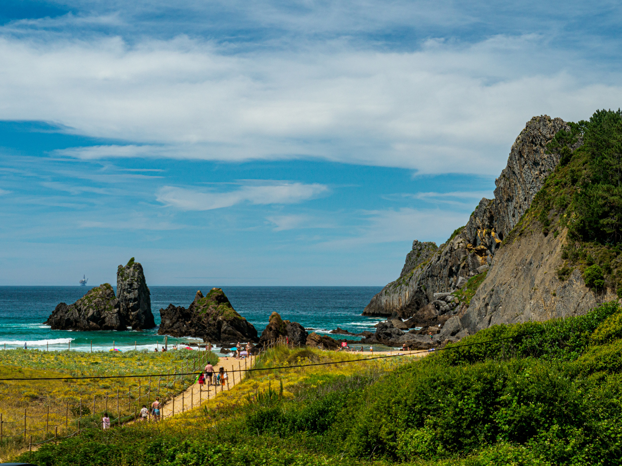
From Ea, it was another up-and-over and eventually down to Laga, which seems to be a beach more than a village. There was a pedestrian walkway all the way from just past Ibarrangelu all the way to Laida. It seemed to be well used; the beach parking lot was full, with a man turning away new arrivals. Cars were parked everywhere parking was permitted but we saw none parked illegally.

| Heart | 2 | Comment | 0 | Link |

| Heart | 2 | Comment | 0 | Link |

| Heart | 1 | Comment | 1 | Link |
https://www.inaturalist.org/taxa/76764-Echium-plantagineum/browse_photos?place_id=6753
1 year ago
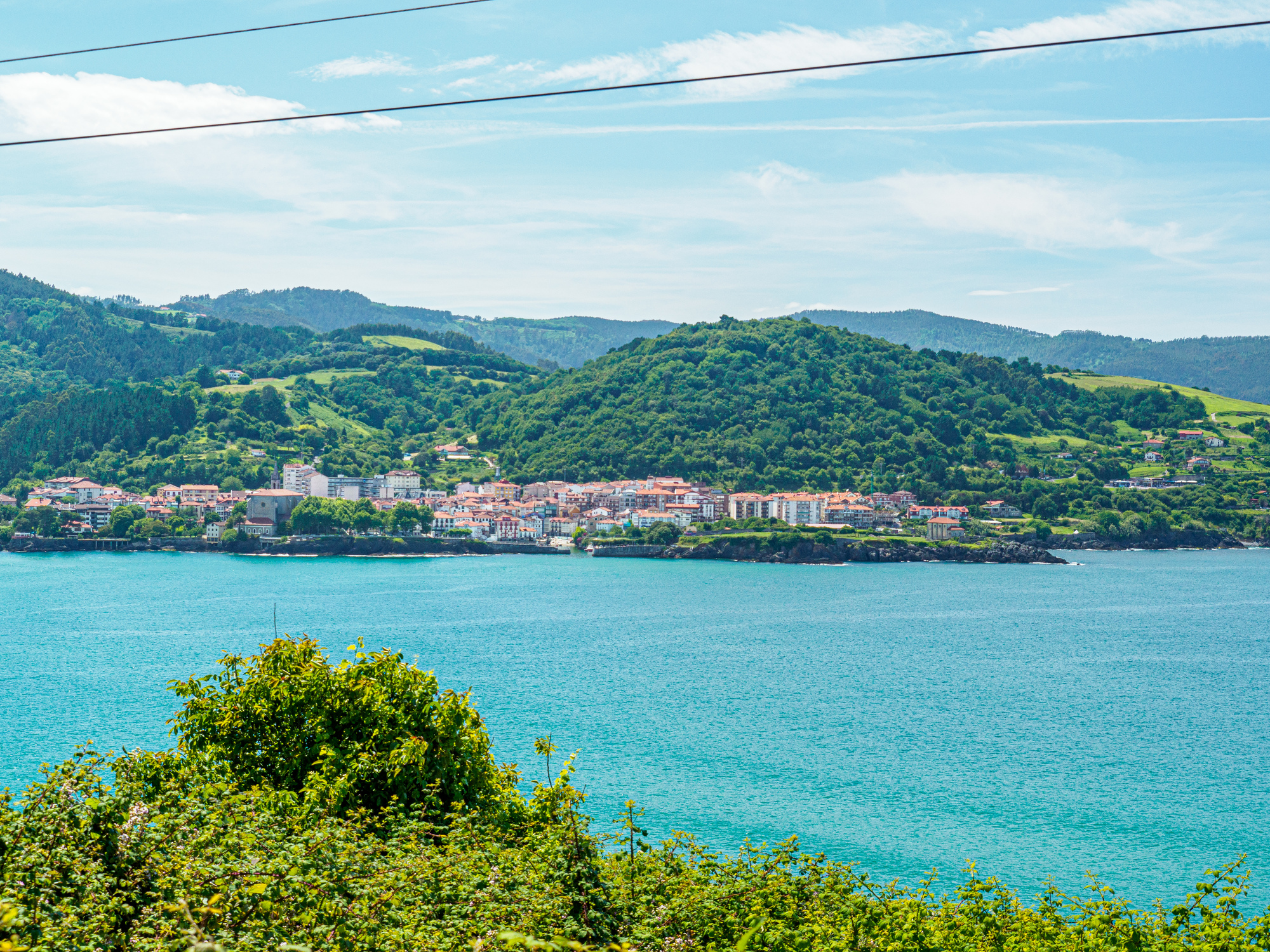
After Laida, the ride became torturous, no longer scenic and north enjoyable compared to the prior 71 km. We rounded the end of the estuary north of Guernica and headed back north to Mundaka. The couple of small climbs in this section seemed much bigger than they were, but we finall6 got to Mundaka and checked in to our apartment at Mundaka Surf Camp.
We had dinner at Restaurante Bodegón. A bit nicer than we usually go for, but there weren’t many real-food options open on this Monday evening. We enjoyed our meal and the view and drank the entire bottle of wine. Tomorrow’s a rest day.

| Heart | 3 | Comment | 0 | Link |

| Heart | 1 | Comment | 0 | Link |
Today's ride: 94 km (58 miles)
Total: 2,156 km (1,339 miles)
| Rate this entry's writing | Heart | 5 |
| Comment on this entry | Comment | 2 |
1 year ago
1 year ago


