August 12, 2024
Day 29 - ending at Pawhuska, OK
| Heart | 0 | Comment | 0 | Link |
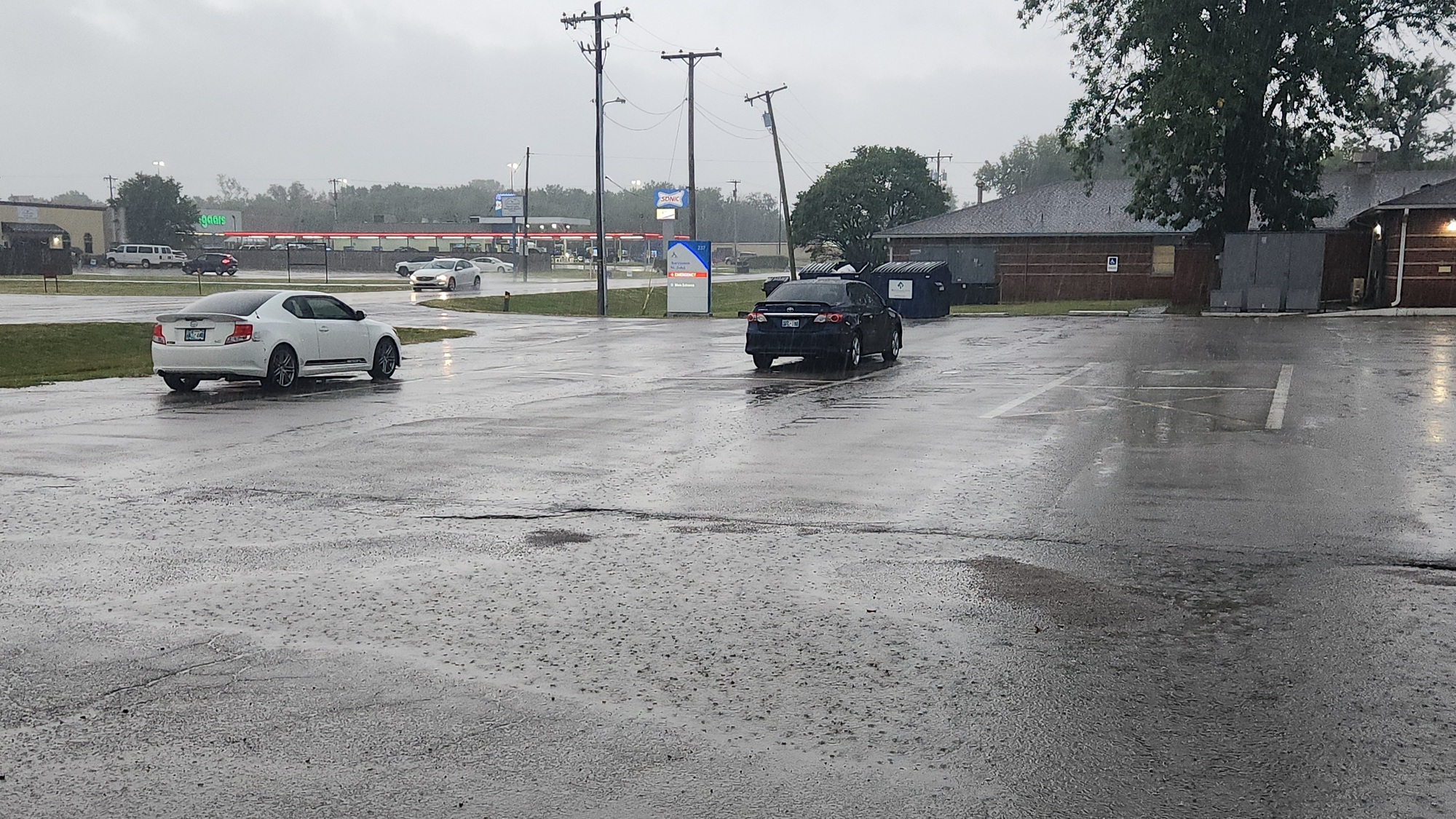
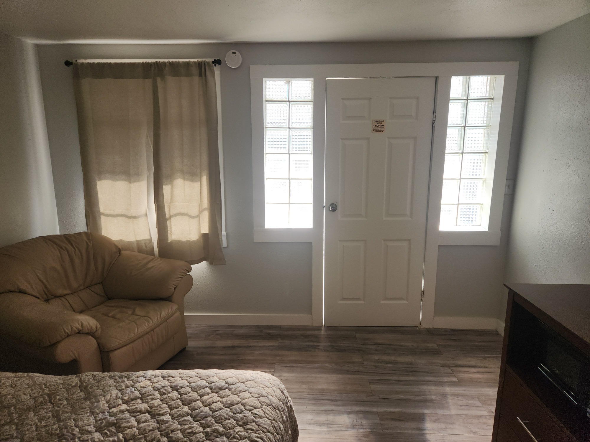
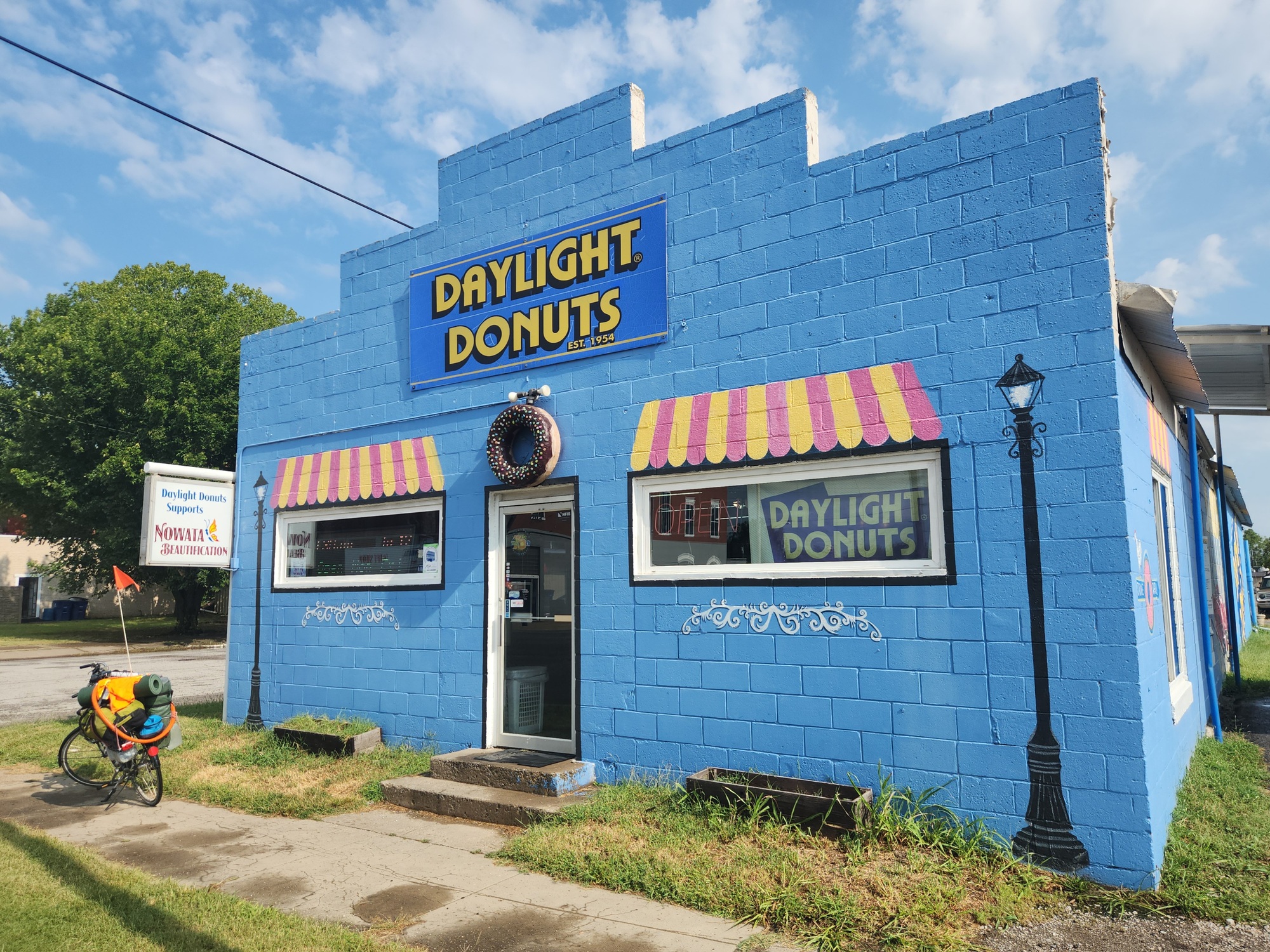
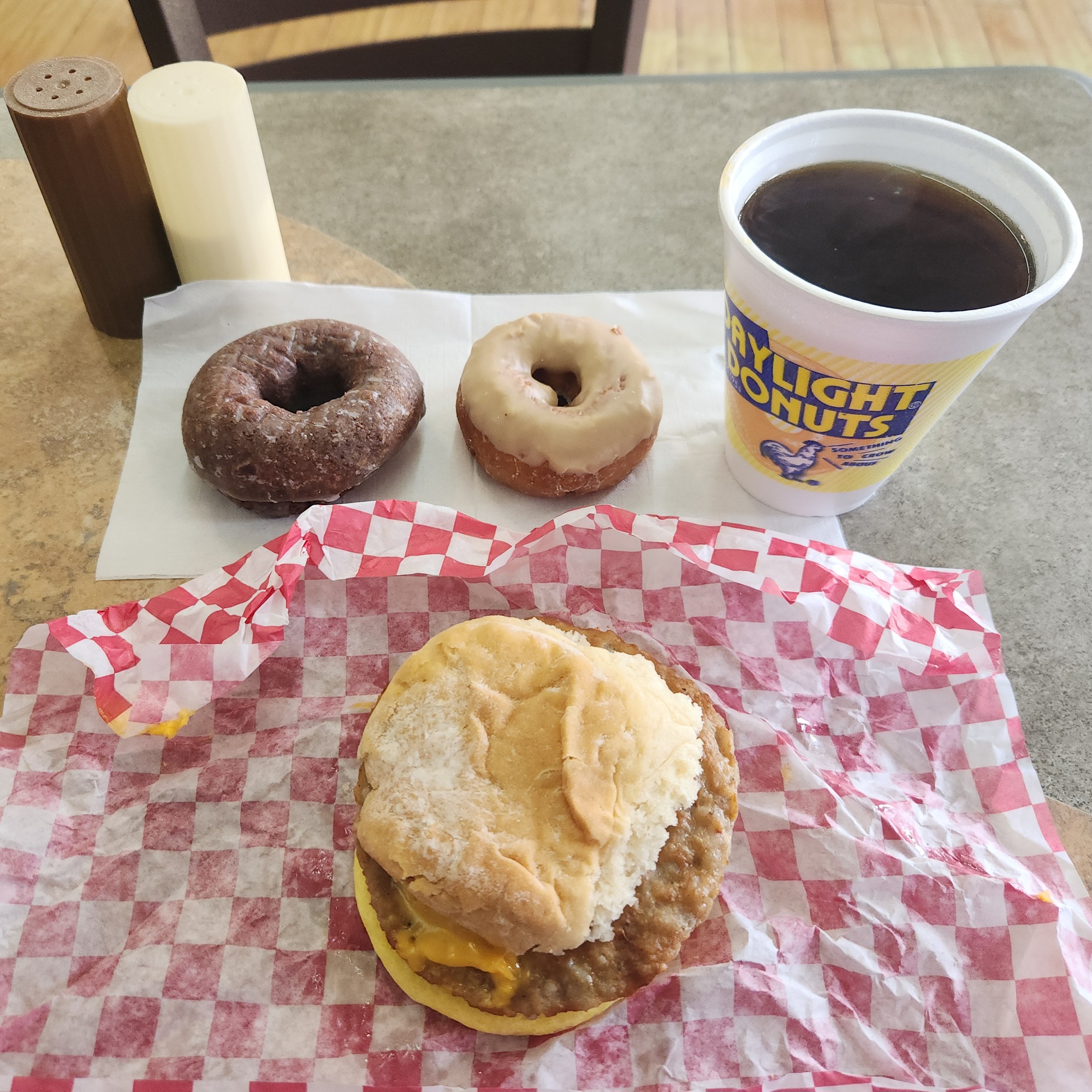
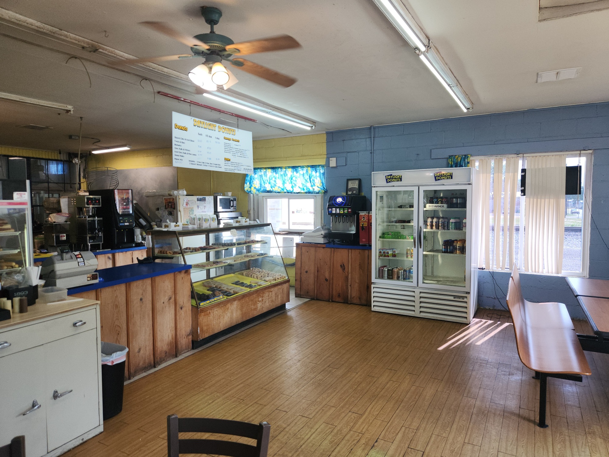
Woke up at 6:47am. It was raining. My motel stay paid off after all! The weather radar showed the rain was just clearing Bartlesville to the west and would be done here a little later. I packed up and was ready to leave, except my MAP330 GPS was having issues that weren't battery related. It took me 5 minutes to get out the spare and switch them out. On my way at 9:45am. Stopped at Snack Express for Powerade, then Katie's Daylight Donuts for breakfast.
I'd been debating all morning whether to follow the Google Maps recommended route out of town, or follow my original plan, which was to head west on US-60. My destination for this evening is The Dam Place General Store and Campground in Pawhuska, Oklahoma. US-60 would get me there easy enough, except initially there's no shoulder along the highway. I think the shoulder would be there when I was about halfway to Bartlesville. The Google Maps recommendation was gravel roads. In the end I went with US-60, leaving Nowata at 10:32am.
It didn't take me long to realize I made the correct choice, The shoulder showed up at the intersection with NS410, which for me was at 11:12am. Also, I looked at one of the gravel roads as I passed. A motor grader was sitting there, and had just made a total mess of the wet road.
I was at the intersection of US-60 and N4020 Road at noon. 12.9 miles done.
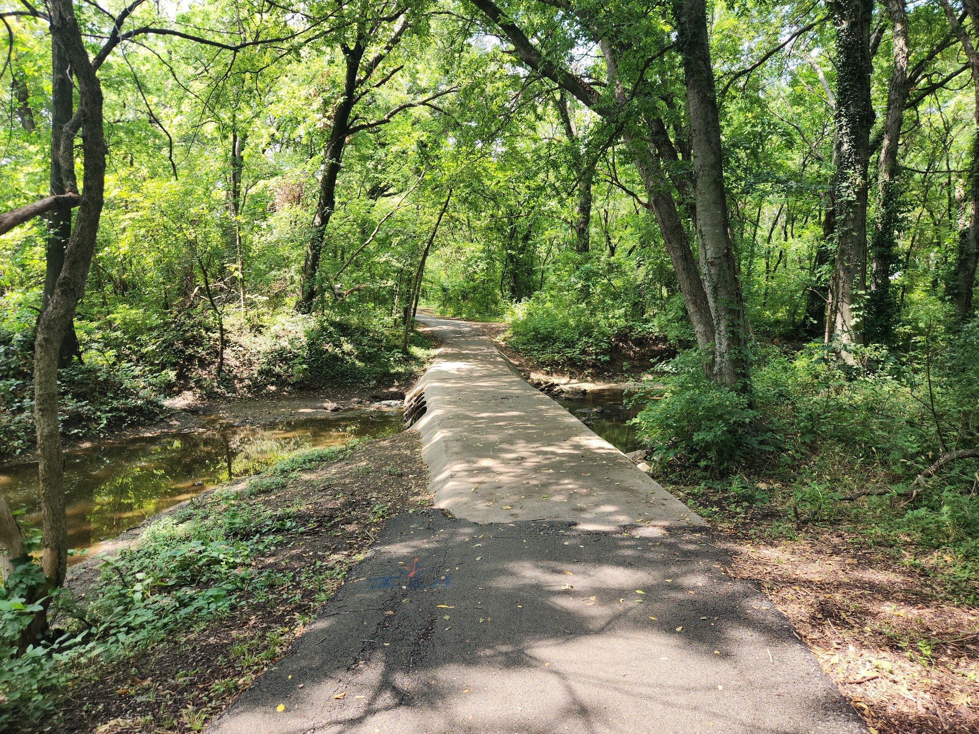
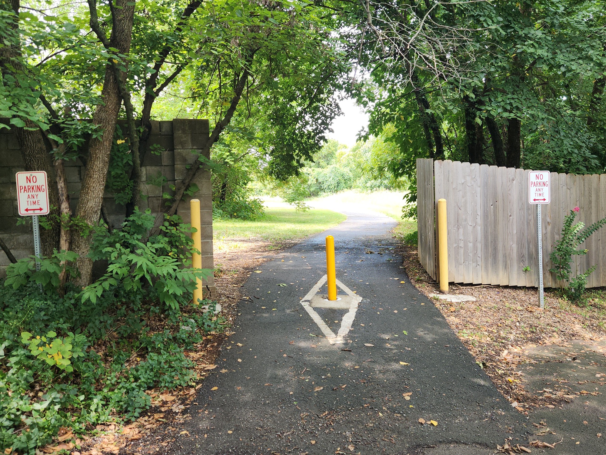
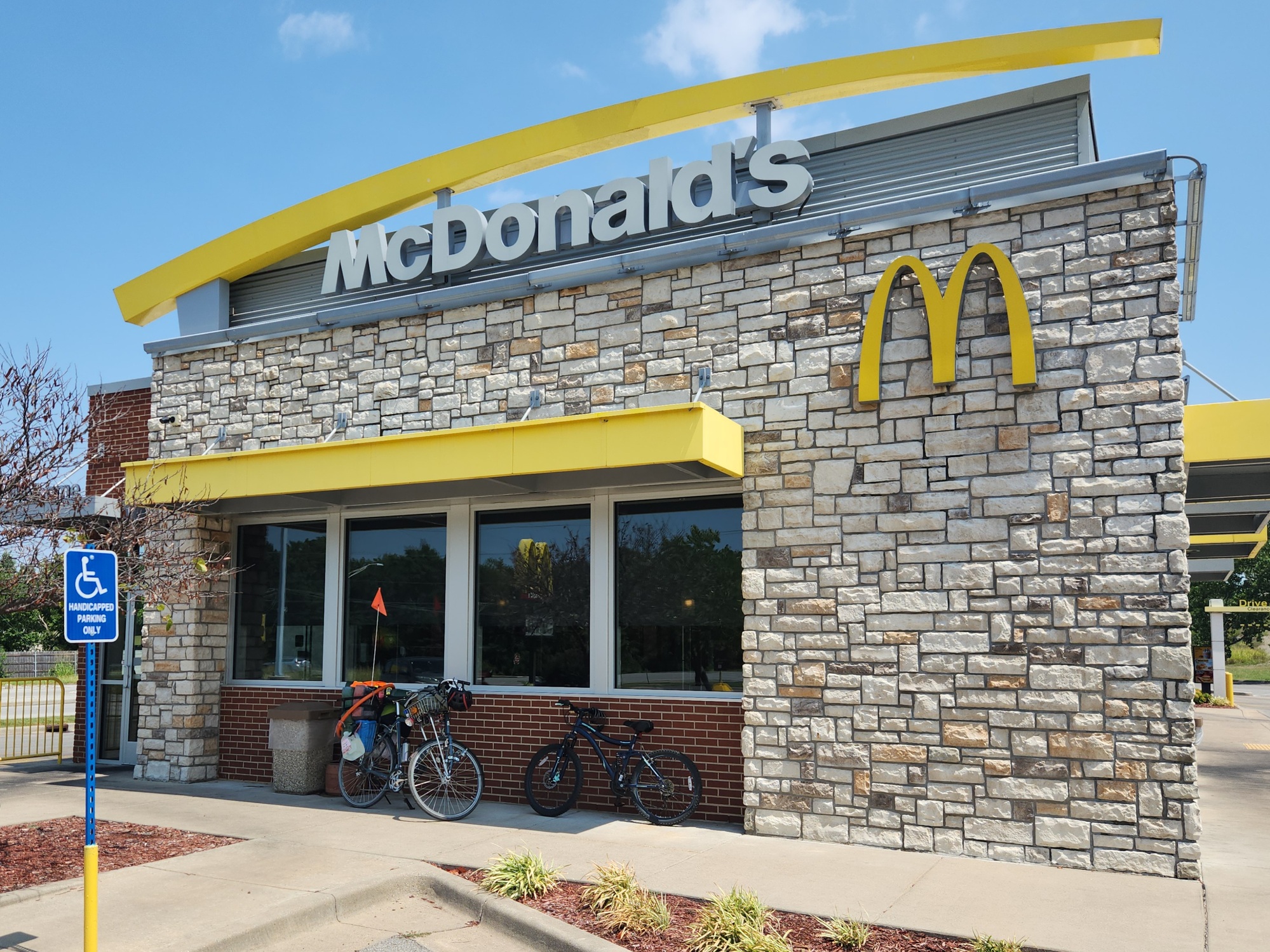
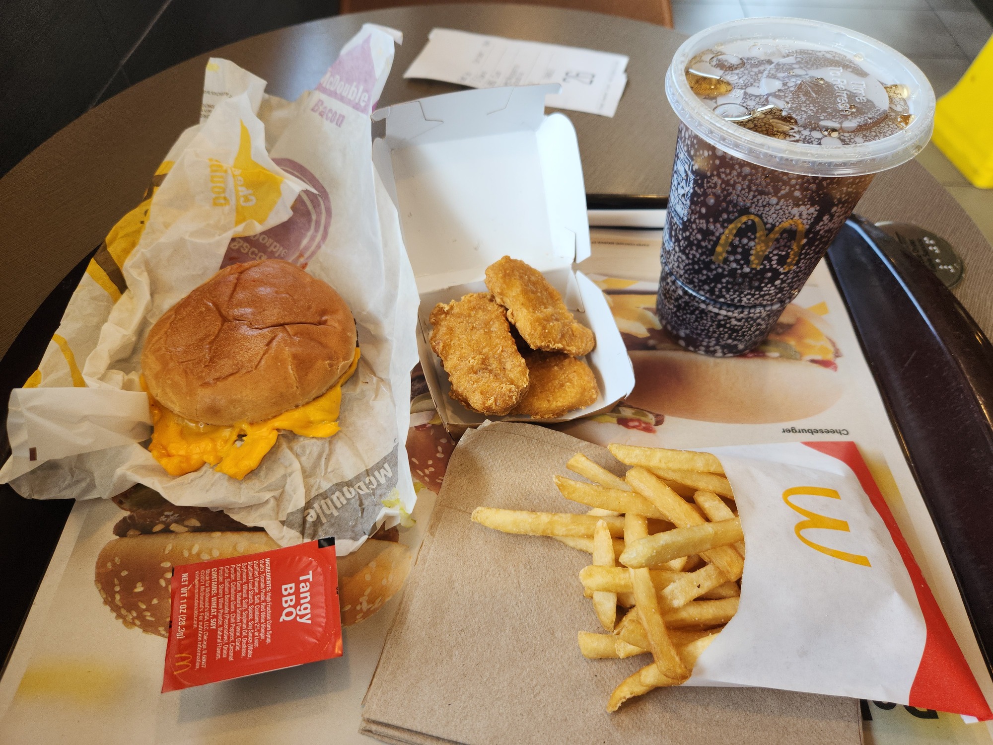
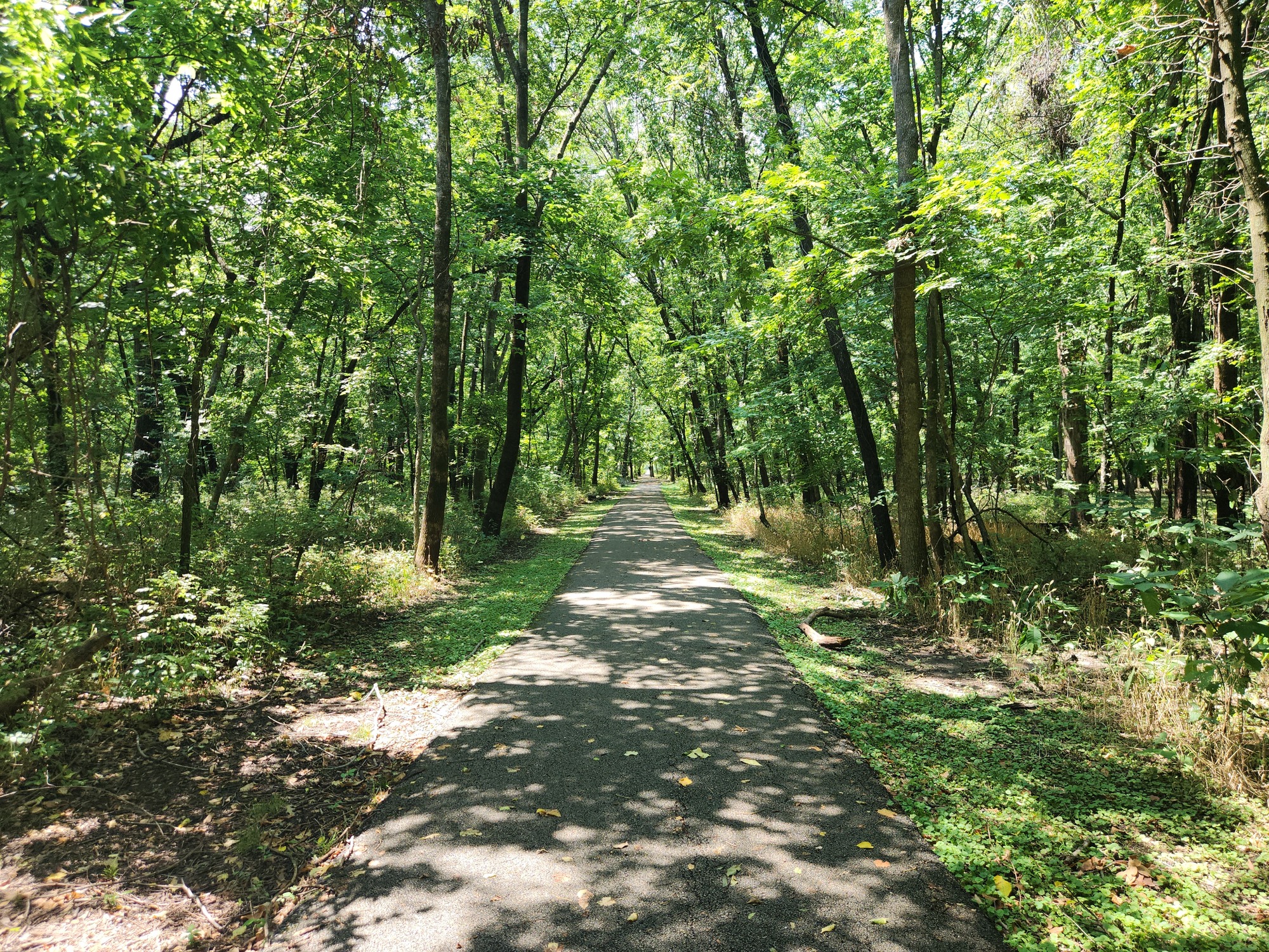
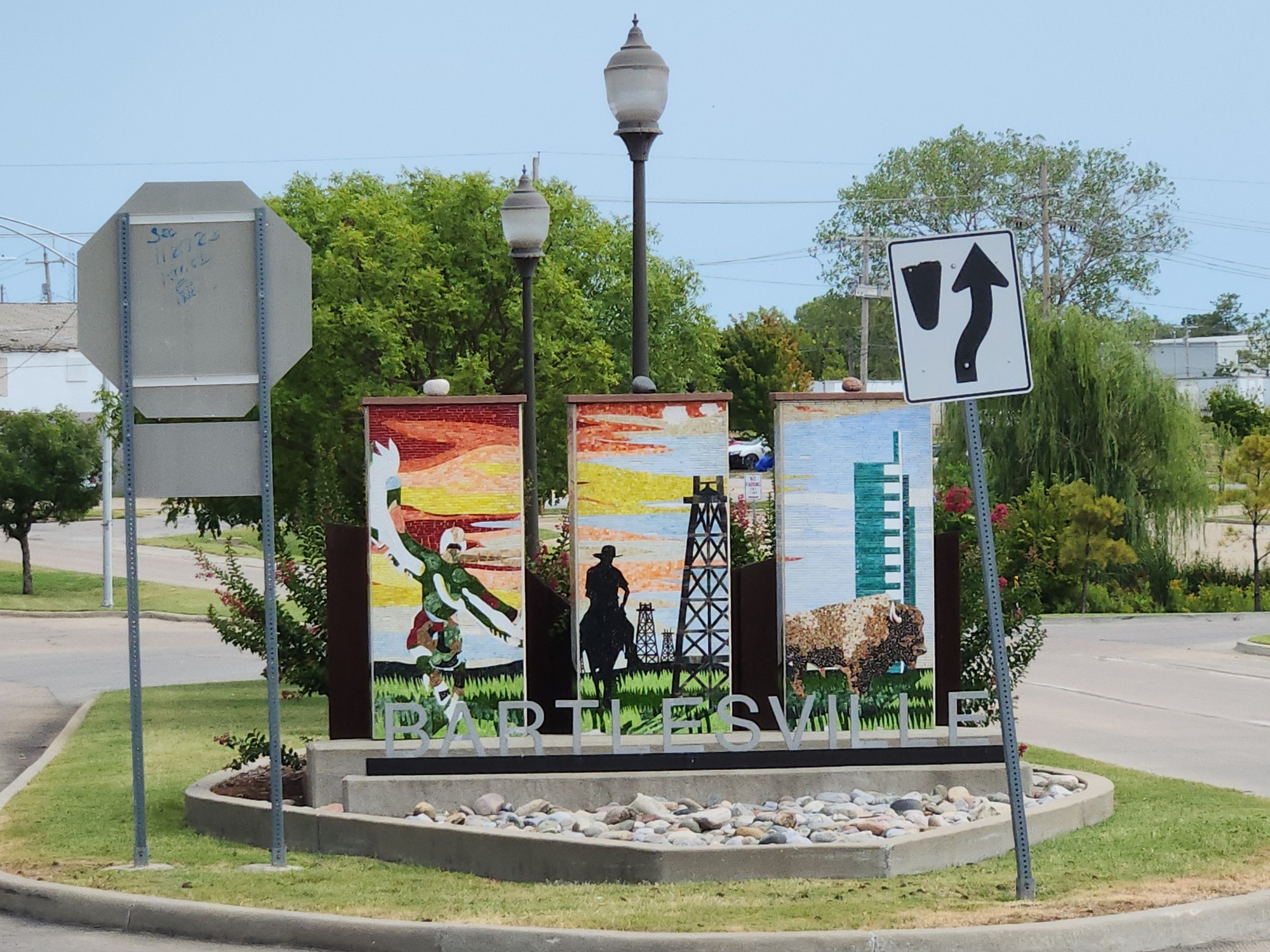
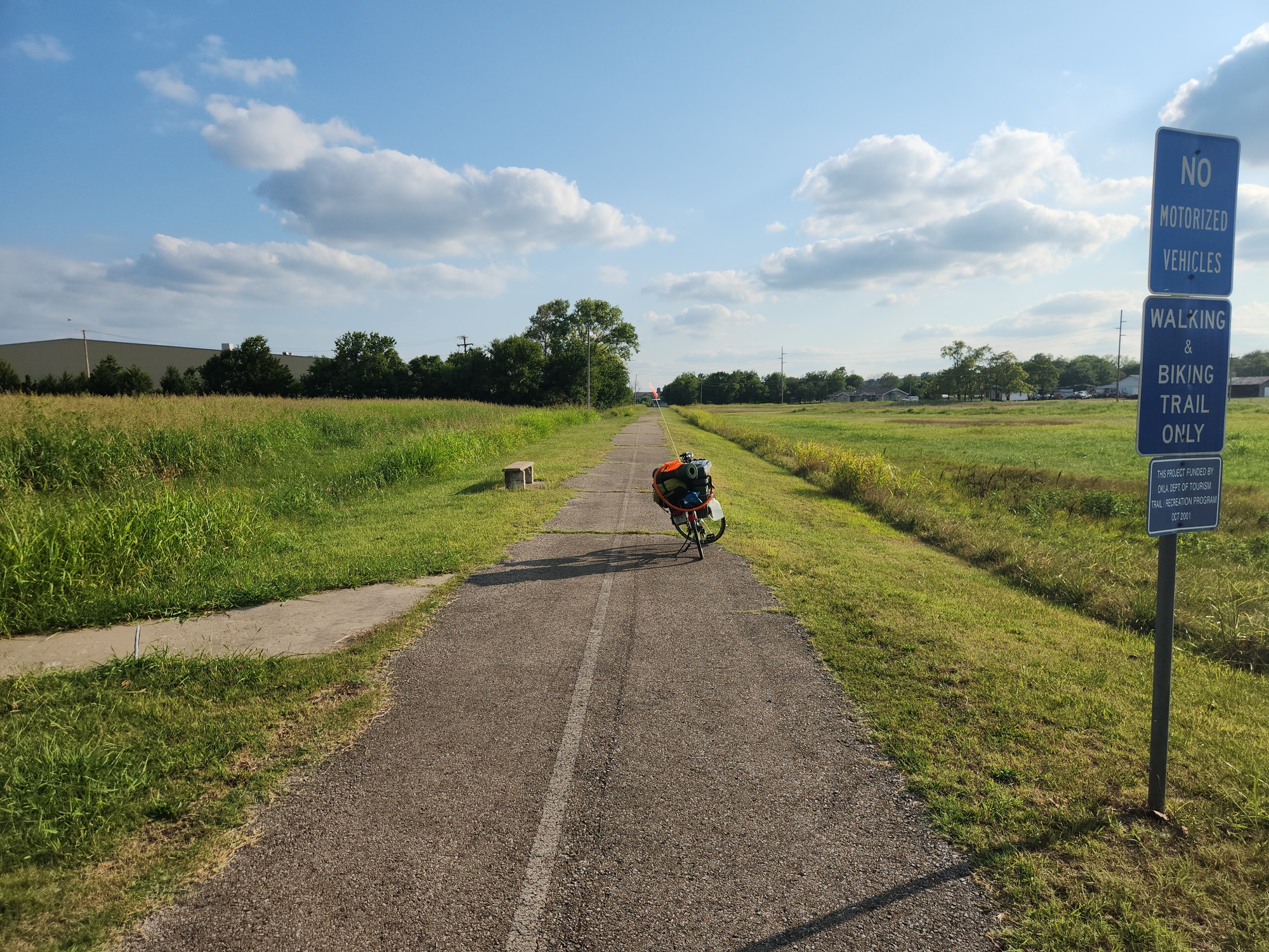
At 12:30pm I was at the east side of Bartlesville. I turned north off US-60 onto Bison Road. I had a detailed plan for getting through Bartlesville using bicycle trails. That worked out very well. There's a McDonald's next to the trail that I wasn't aware of, but it was a convenient place for lunch at 1:09pm. I went with a $5 meal deal, which was actually a lot of food.
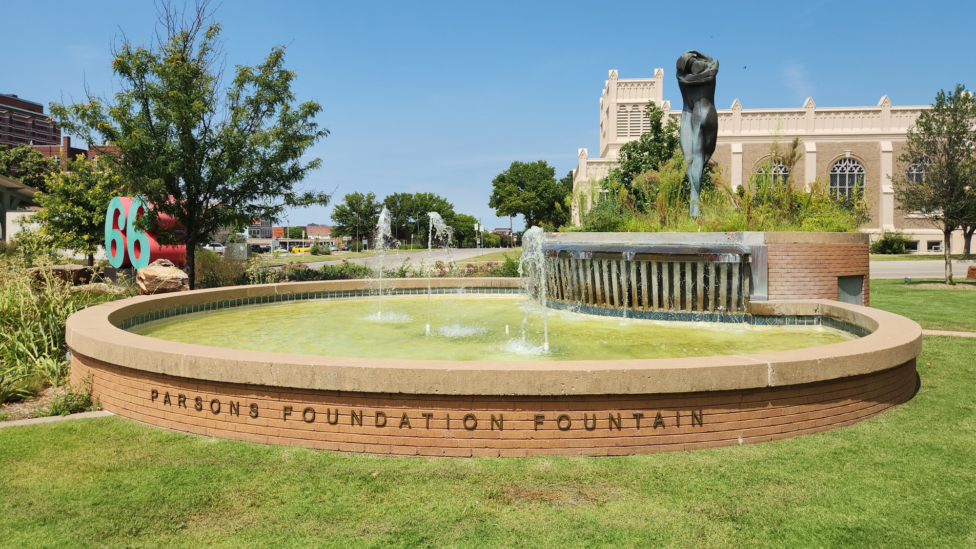
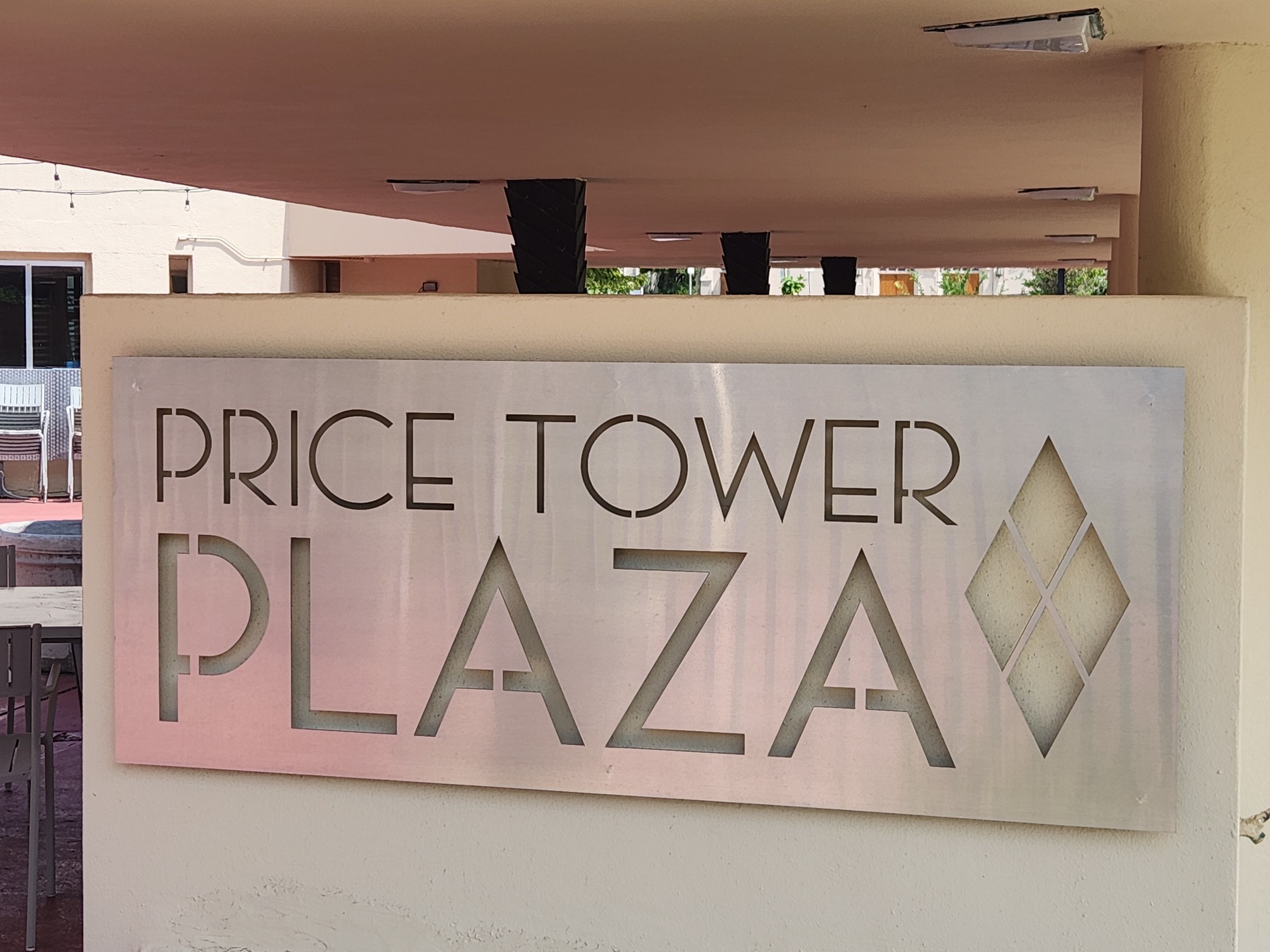
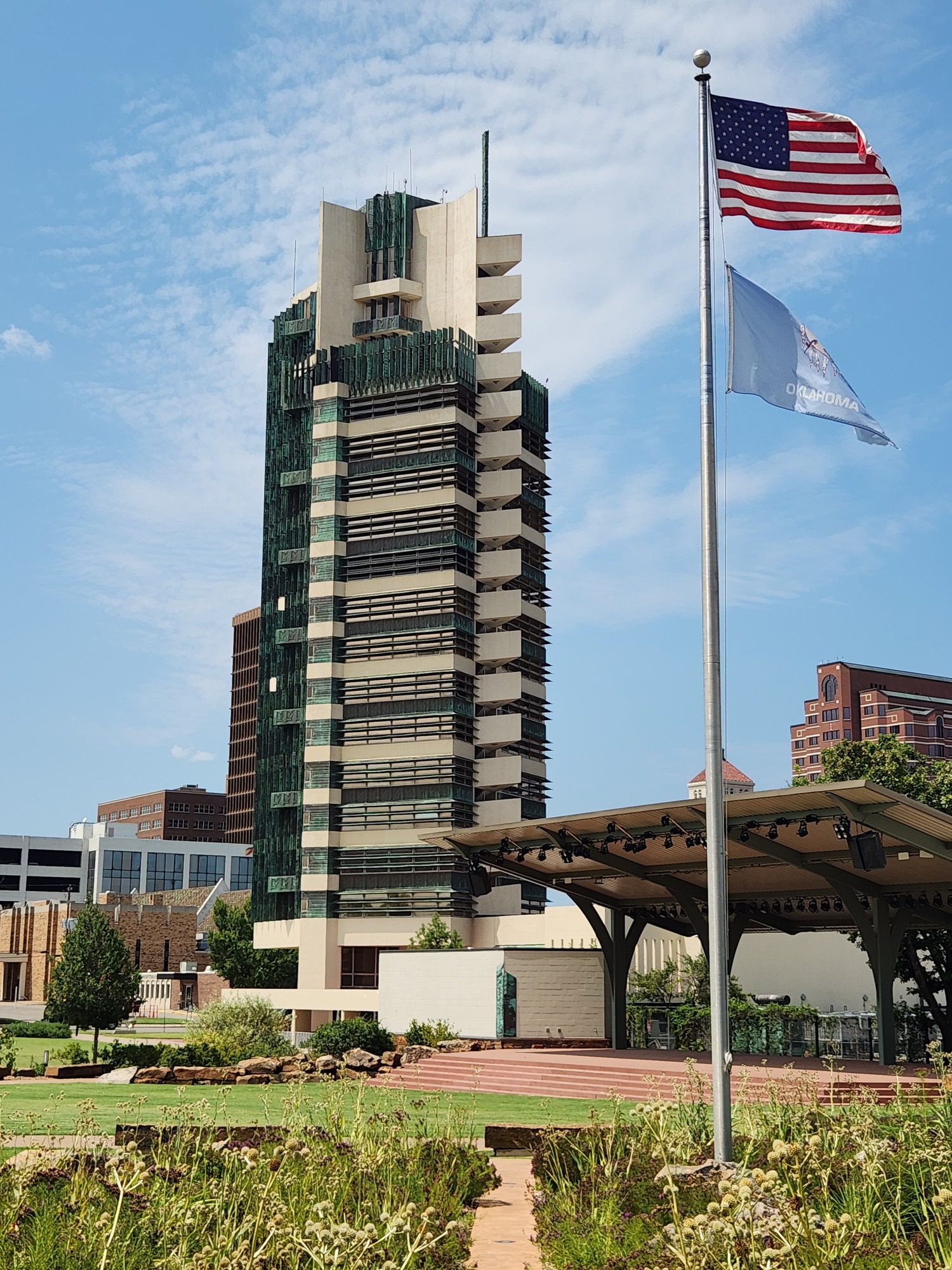
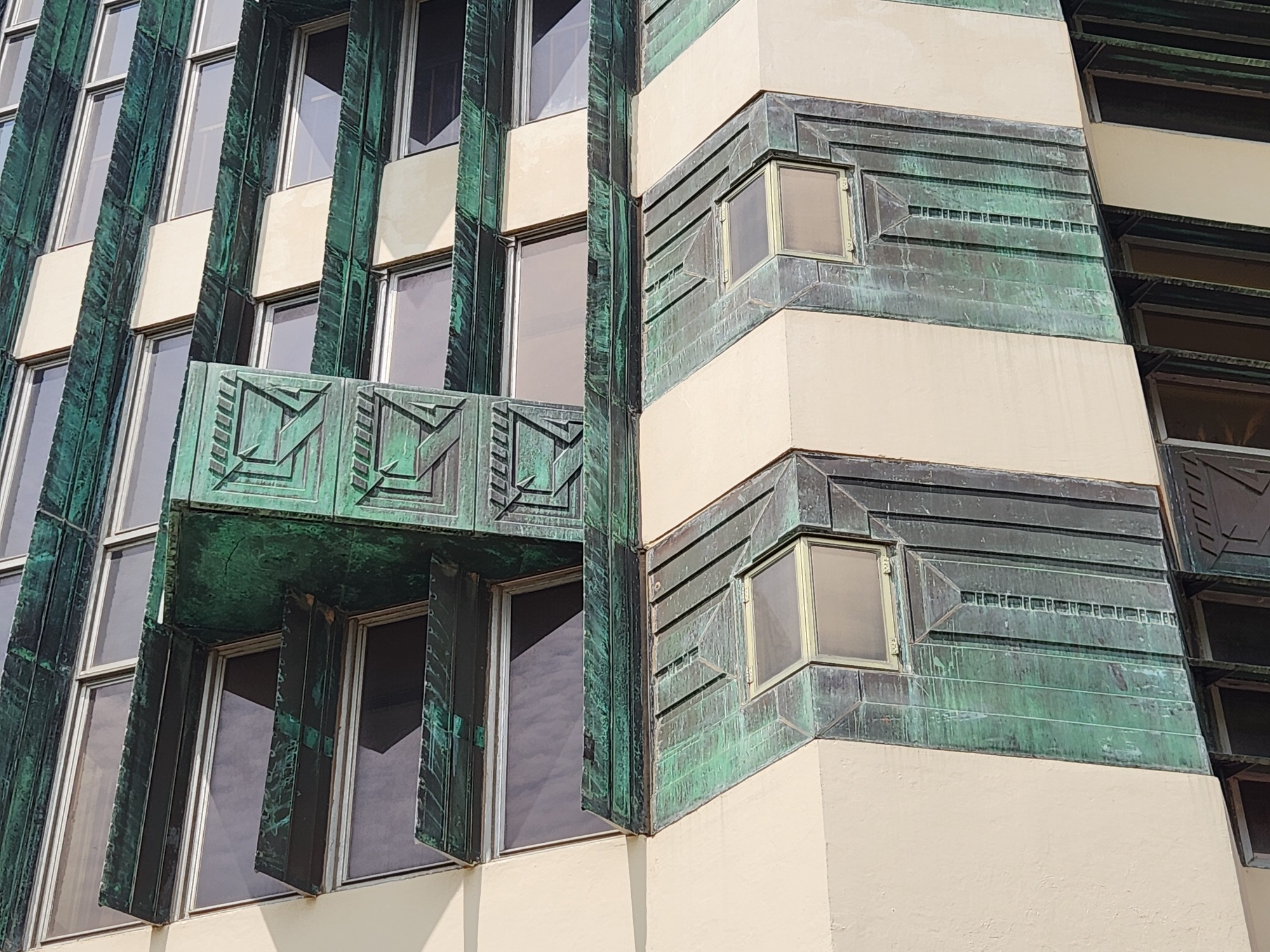
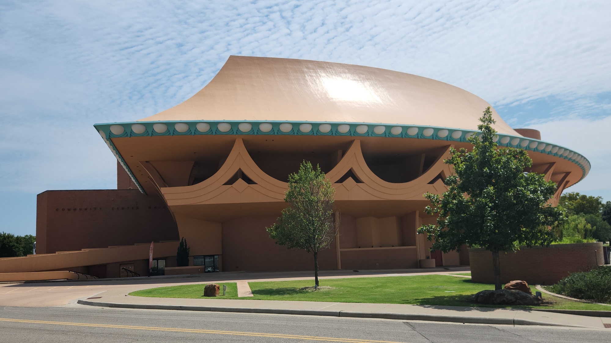
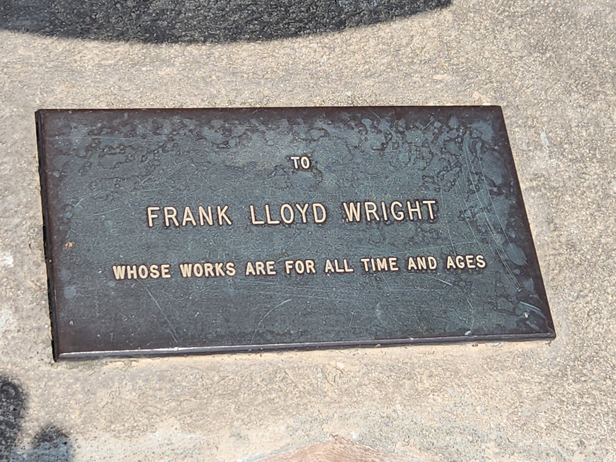
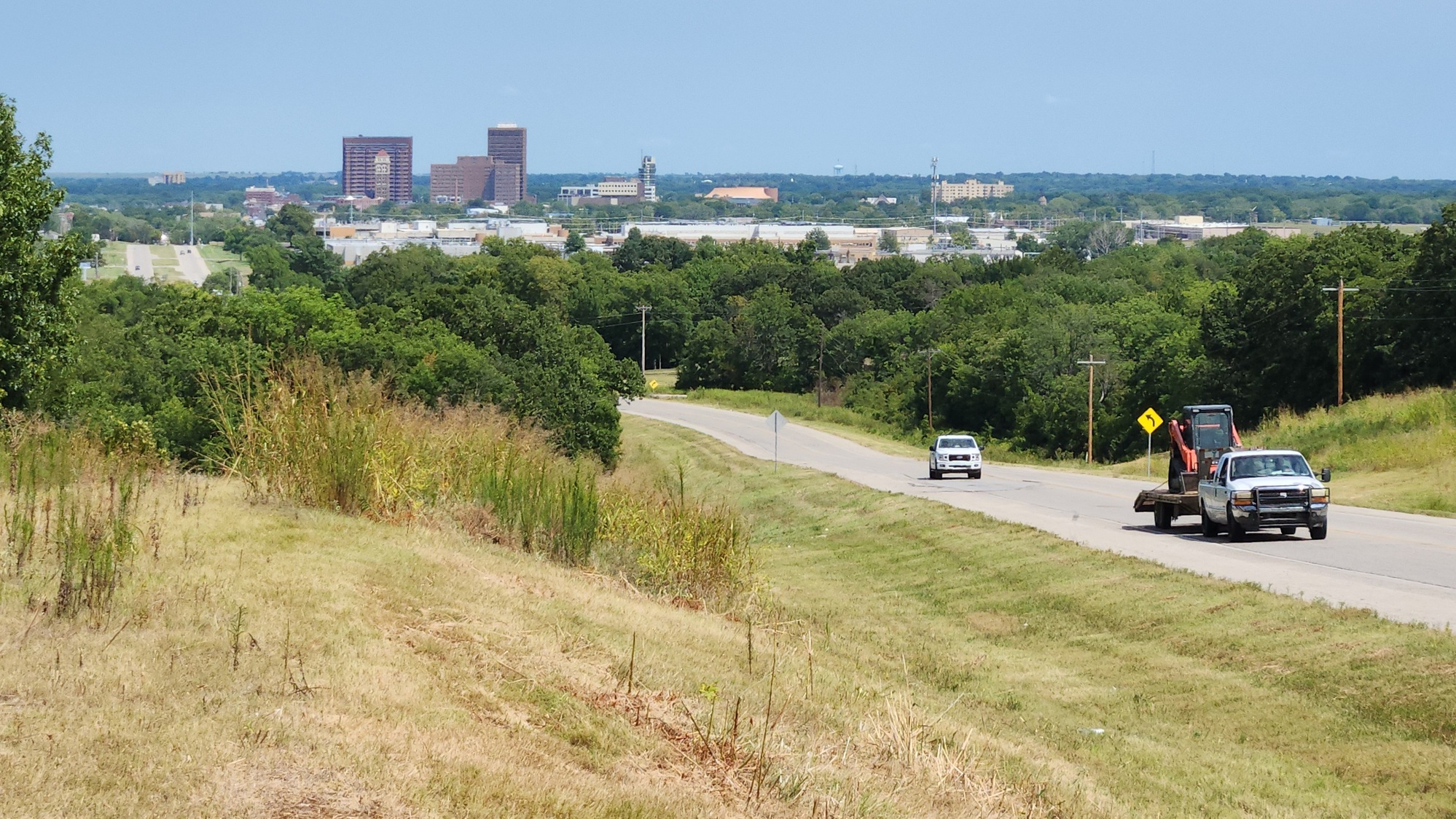
Back on the bike path at 1:50pm. My path riding ended at 2:13pm. I've been to Bartlesville before, but this time I wanted to see Price Tower, designed by Frank Lloyd Wright. Bartlesville's community center is near there, and they also have a nice park-like area nearby. All of it impressed me. Afterwards I made my way back to US-60.
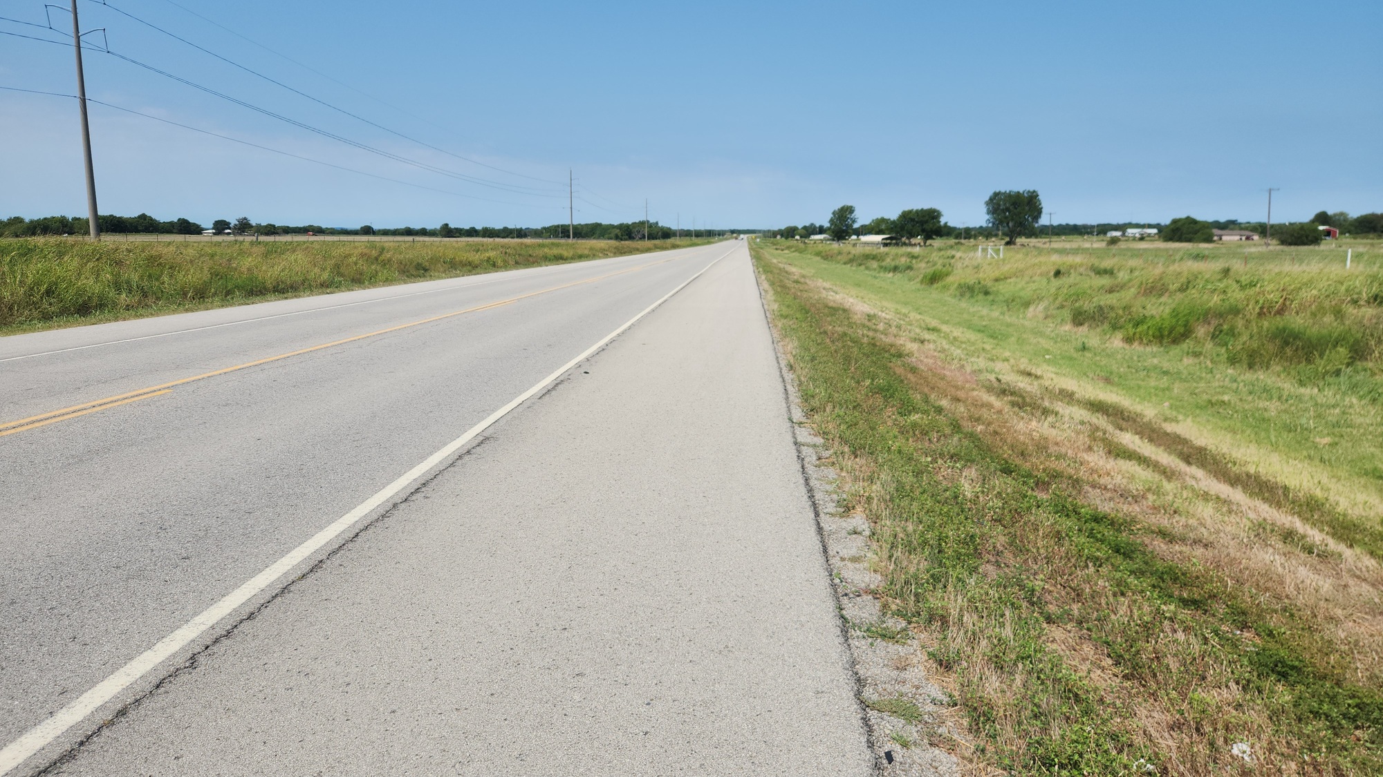
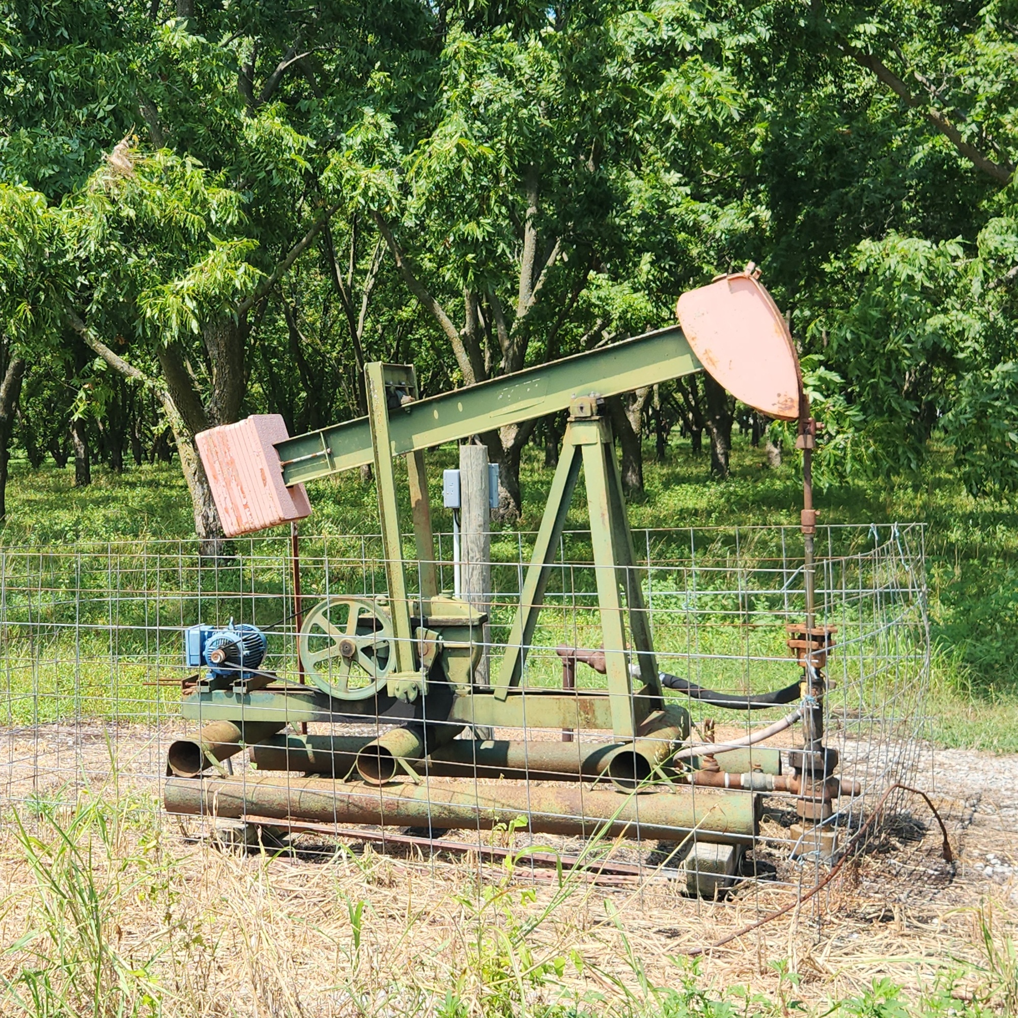
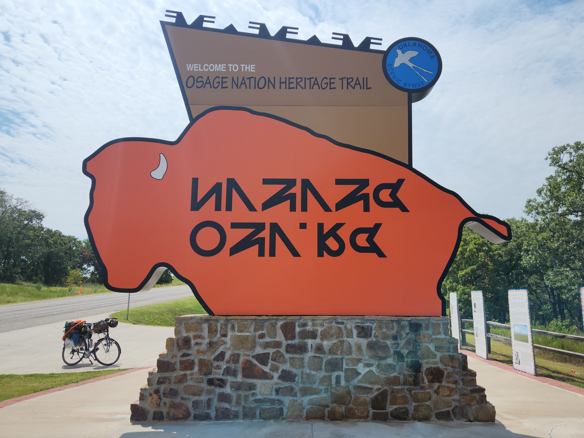
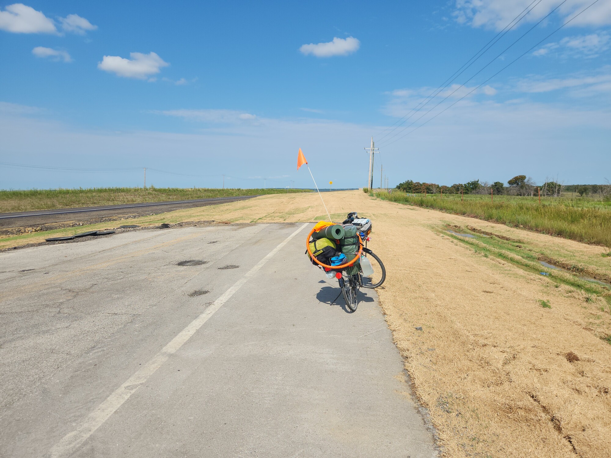
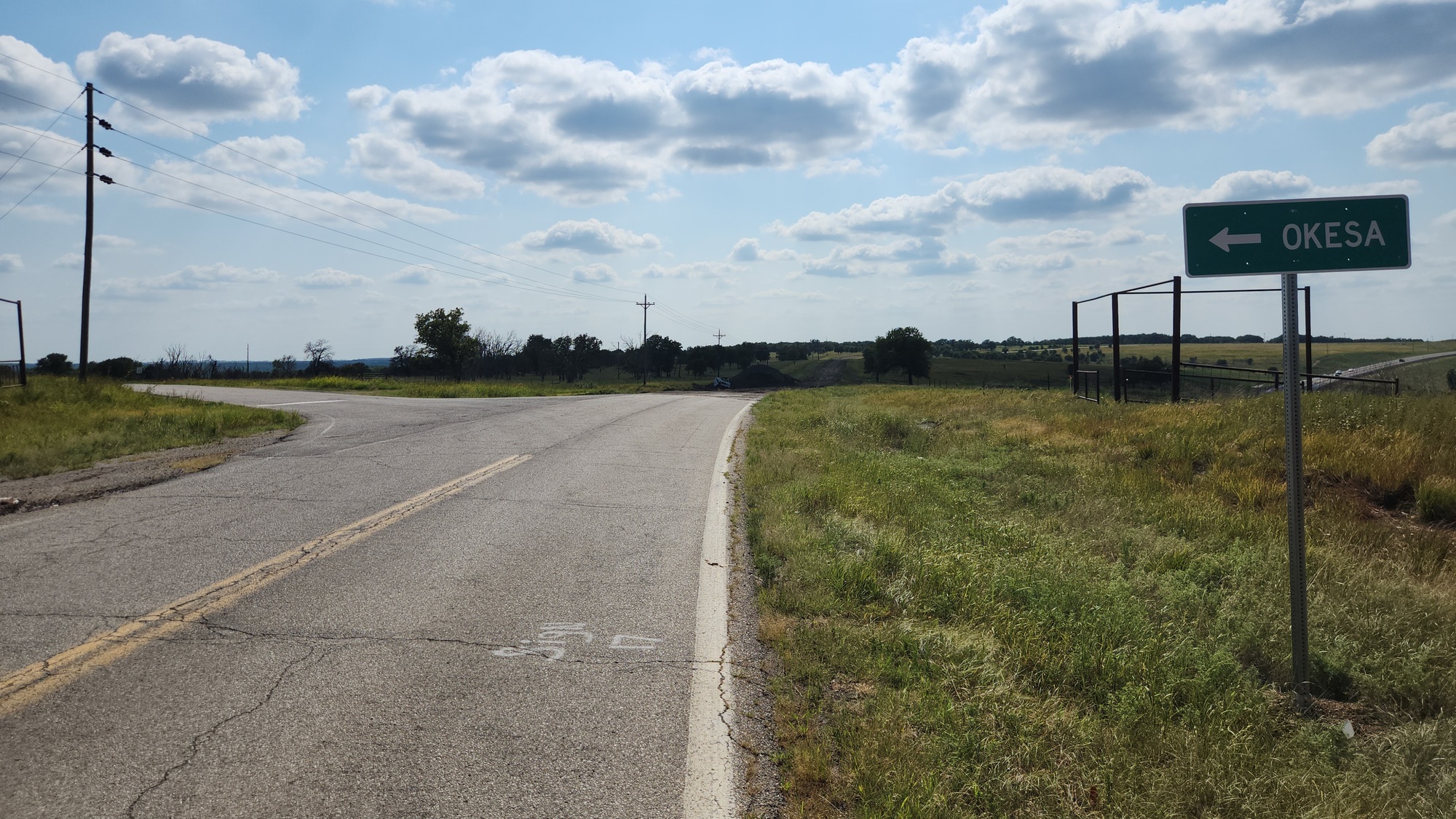
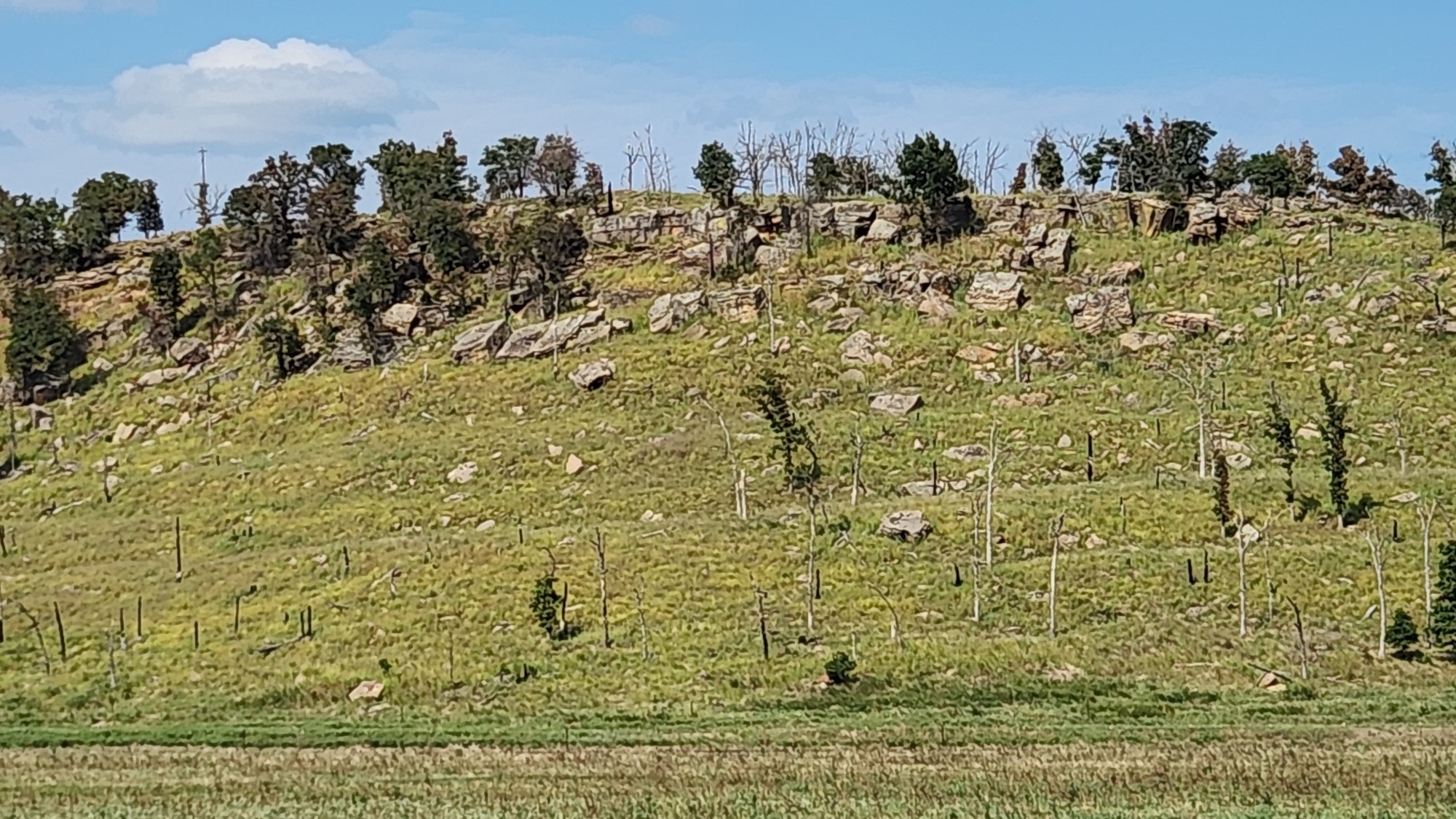
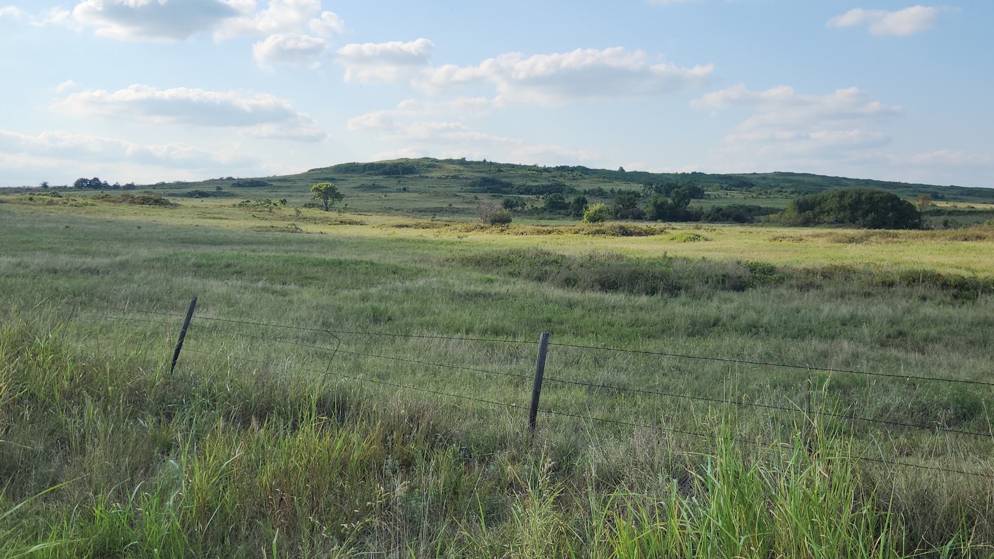
I cleared Bartlesville at 2:55pm. There was a fairly good uphill for me leaving town. I took a break at the top where there's an information area for the Osage Nation. I sat in the shade of their bison. I came to another uphill later that was very long but gently sloped. At the top was a turn-off at CR2361, also known as Okesa Road. Turning that way was my at-home plan, but now I was more set with staying on US-60 with its wide shoulder. But there was an area to pull off there and I needed a break. During the break I decided I'd go ahead and follow my plan. There would be several miles of gravel roads, but I was OK with that. It definitely is a shorter route to Pawhuska than US-60, which veers off way to the north. So I got started on that at 4:23pm.
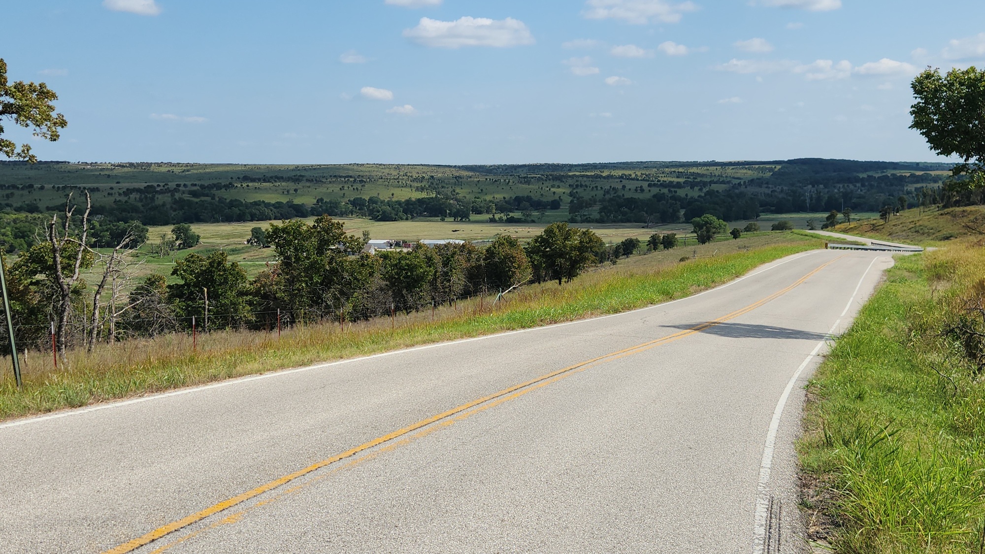
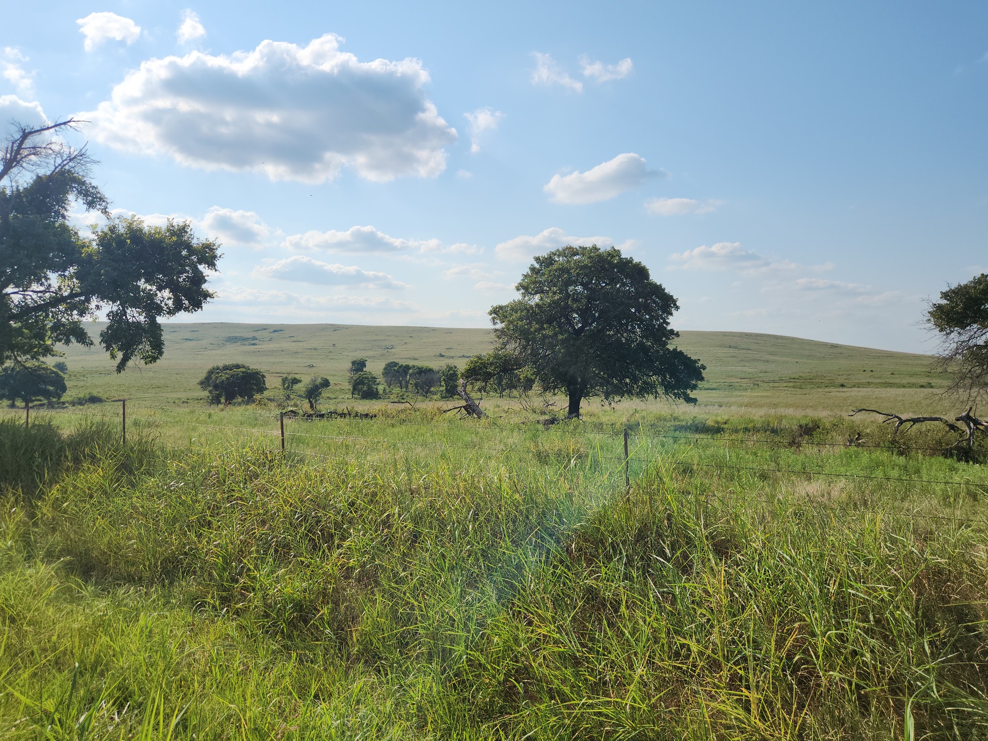
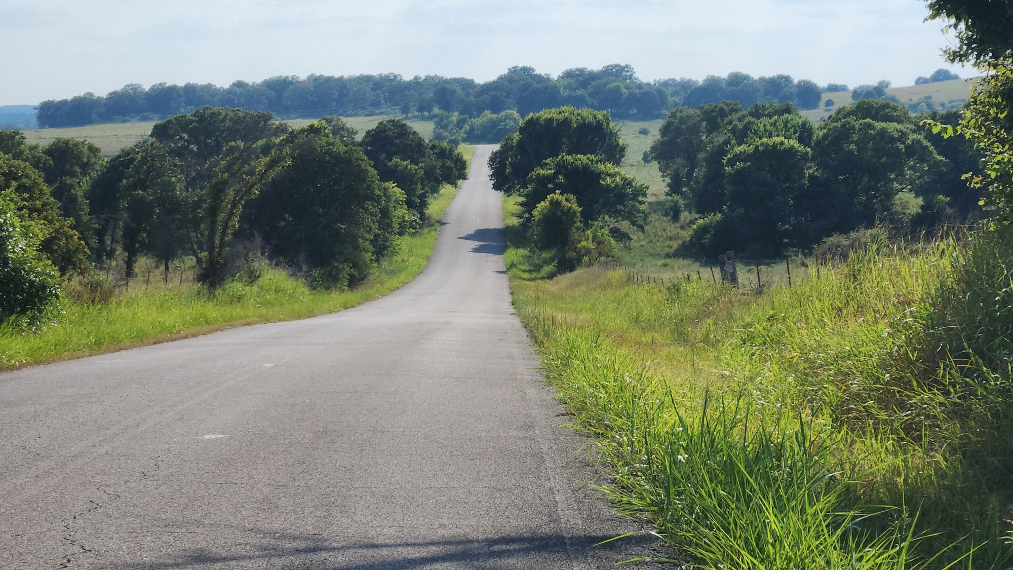
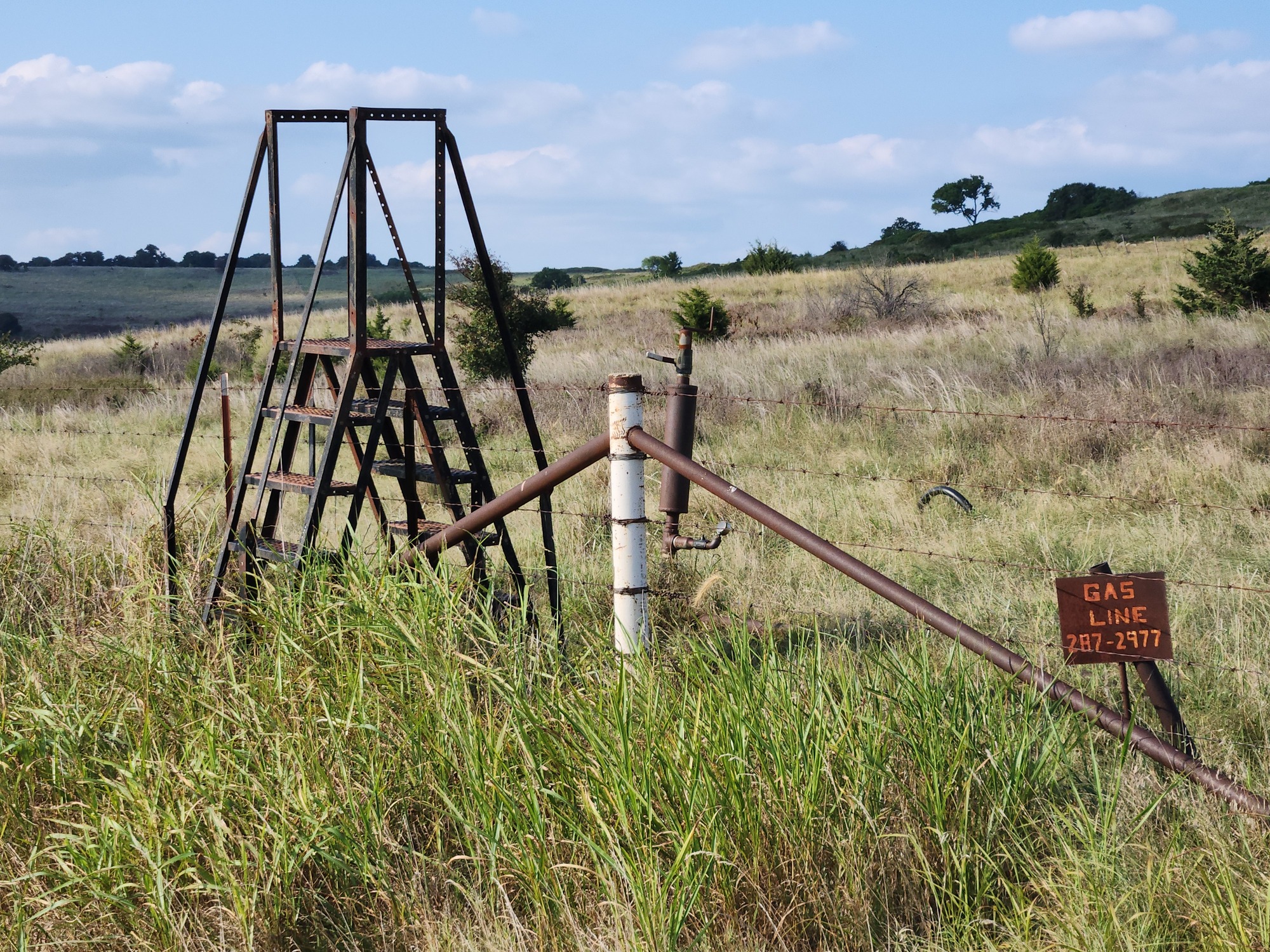
Okesa Road turned out to be fun. And it was paved all the way! None of my maps showed that. There were a few hills early on that had me walking, then it flattened out. It is basically a shortcut to Pawhuska not shown on the state map. Others knew about it though, because there was some traffic.
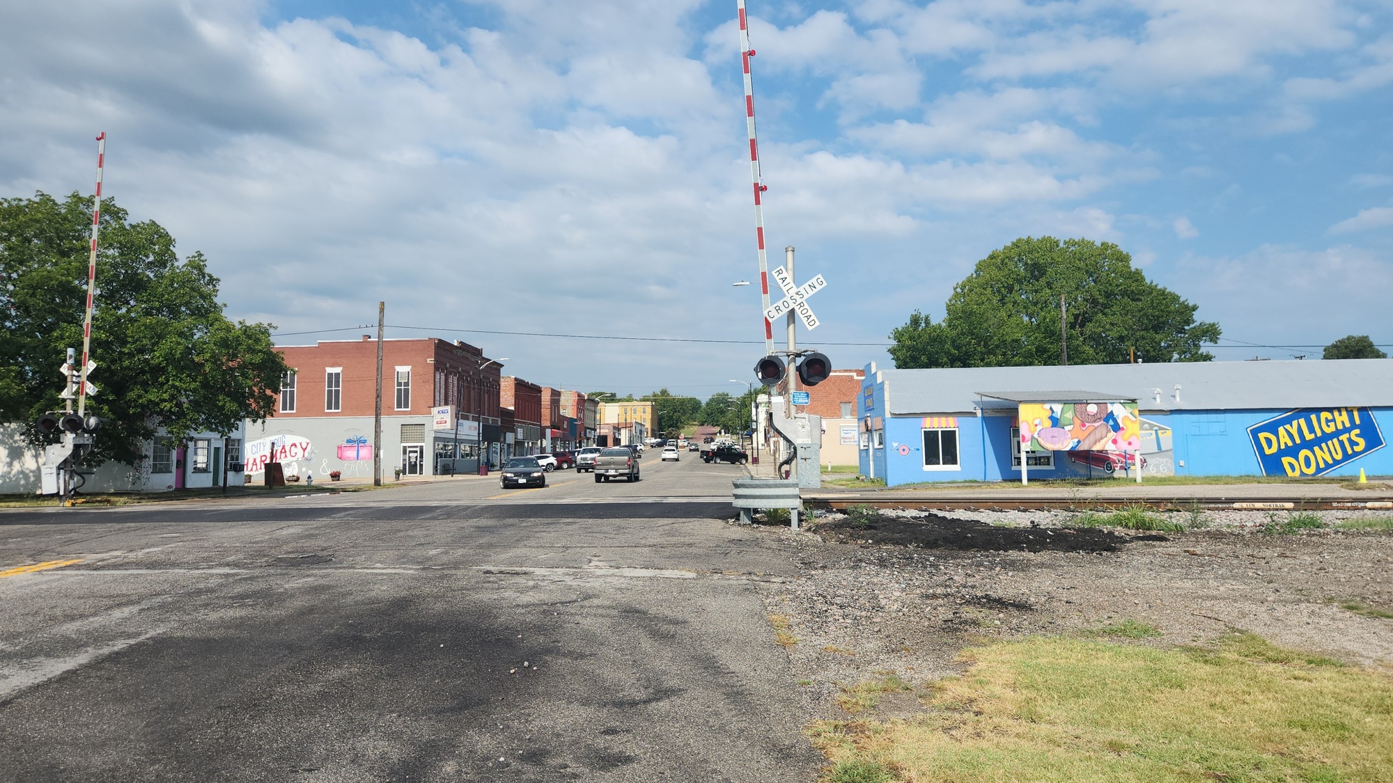
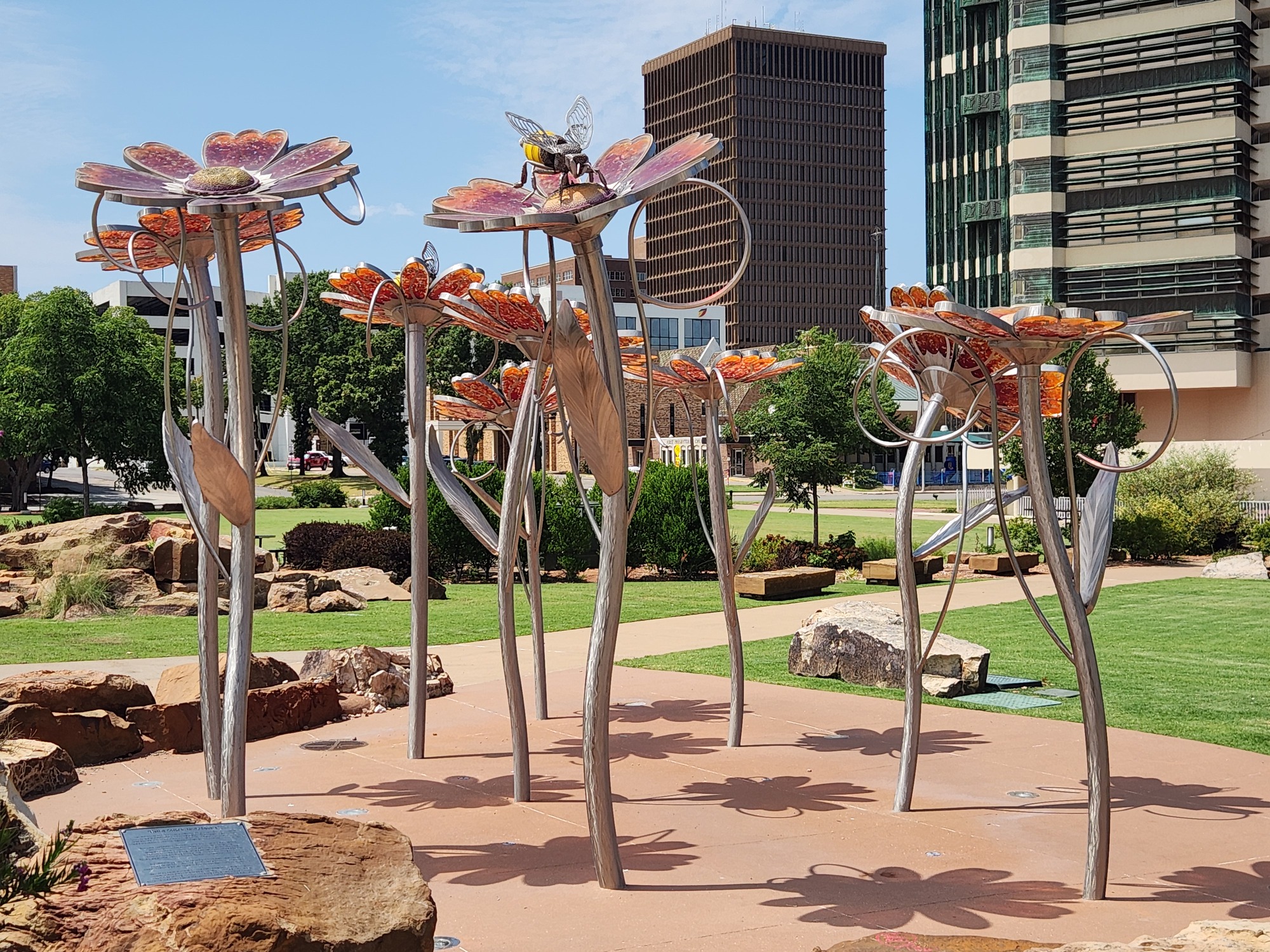
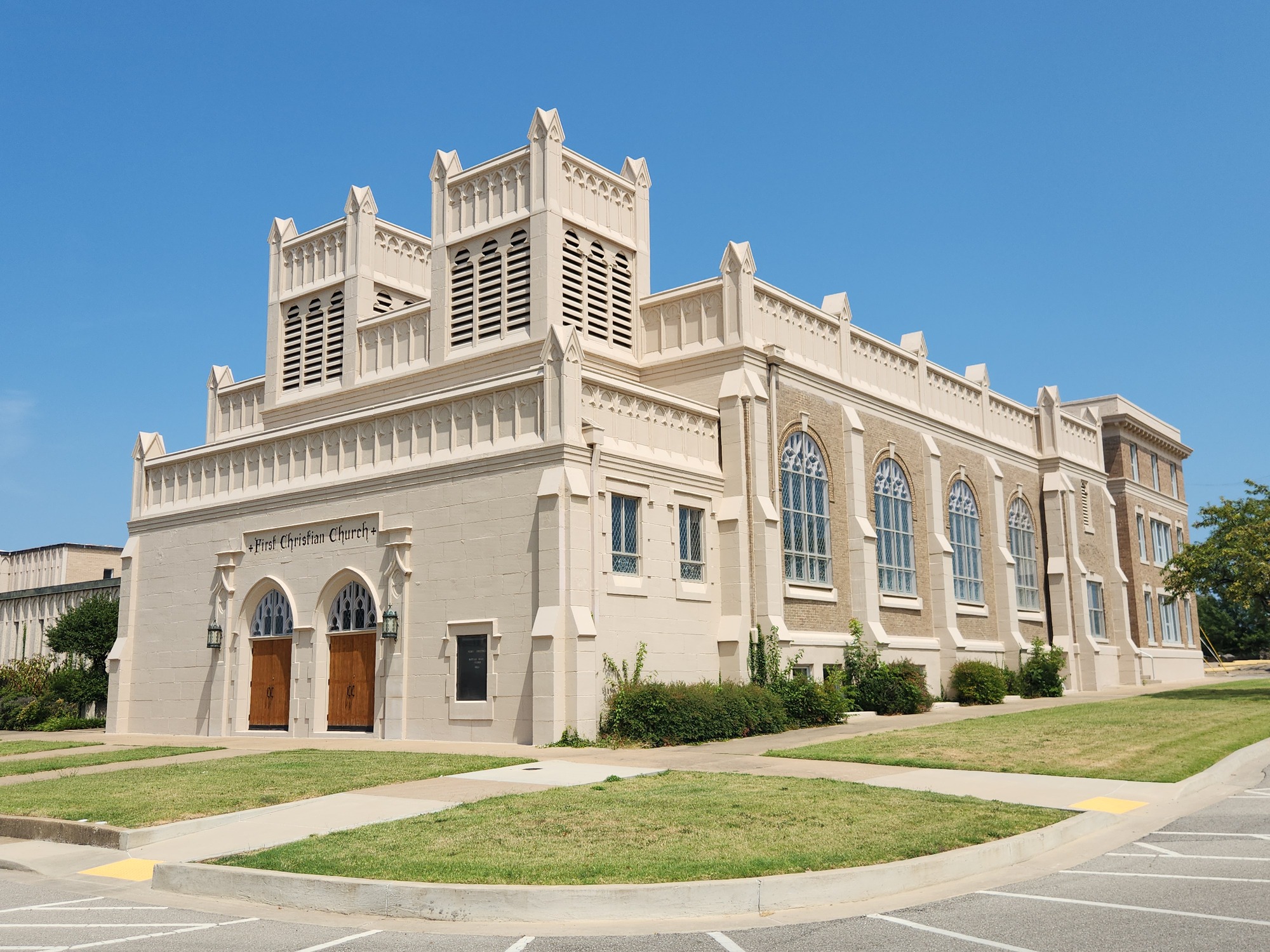
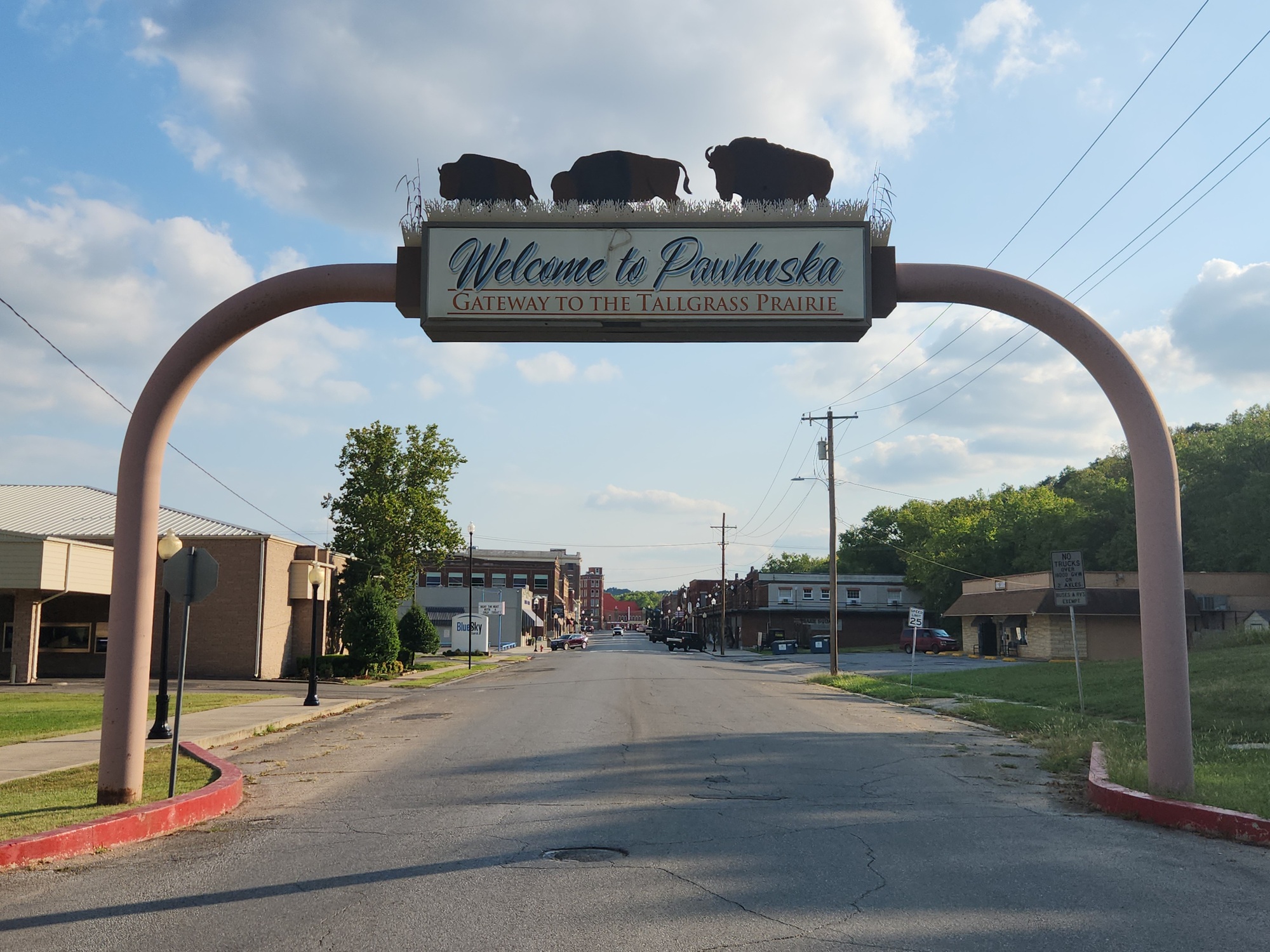
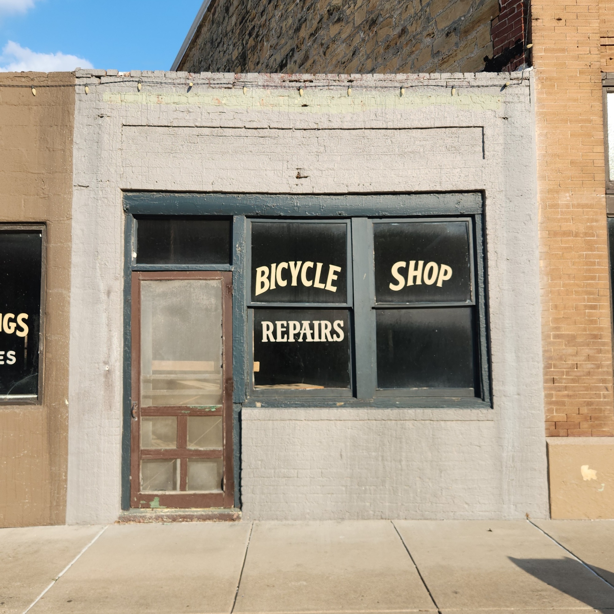
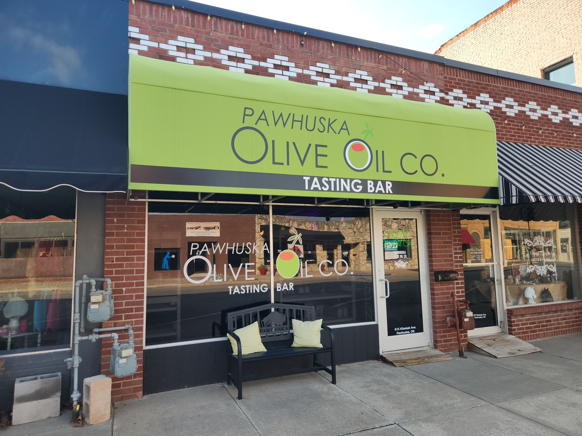
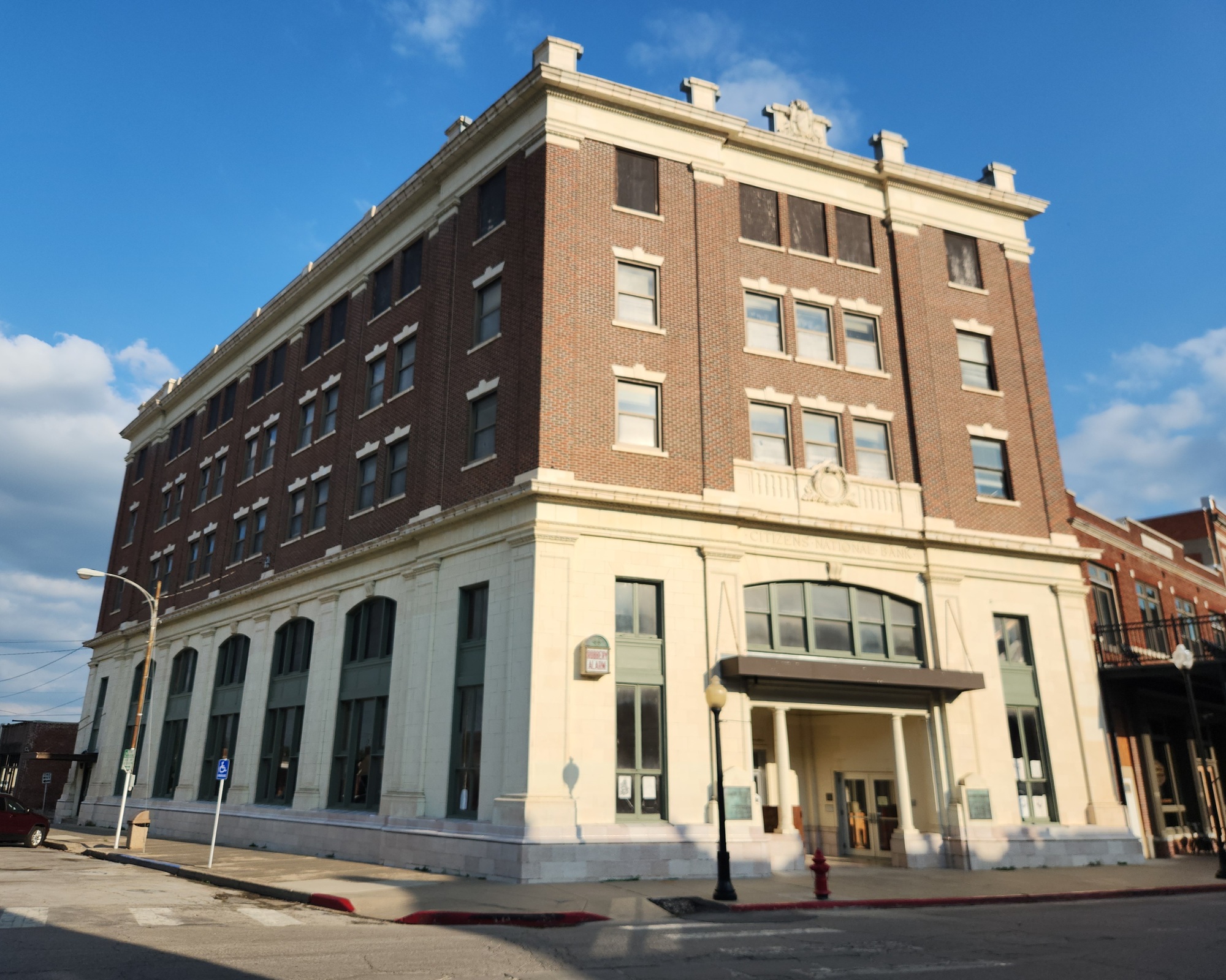
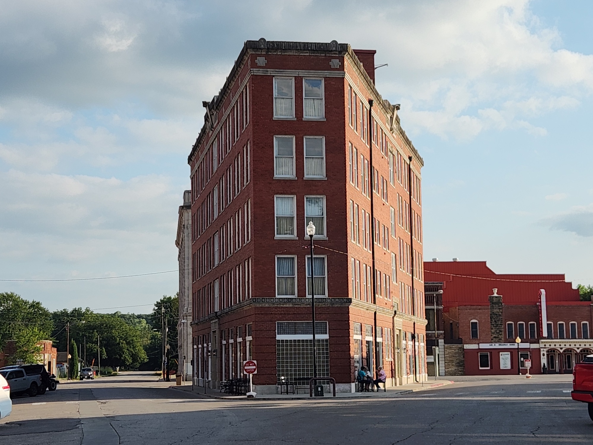
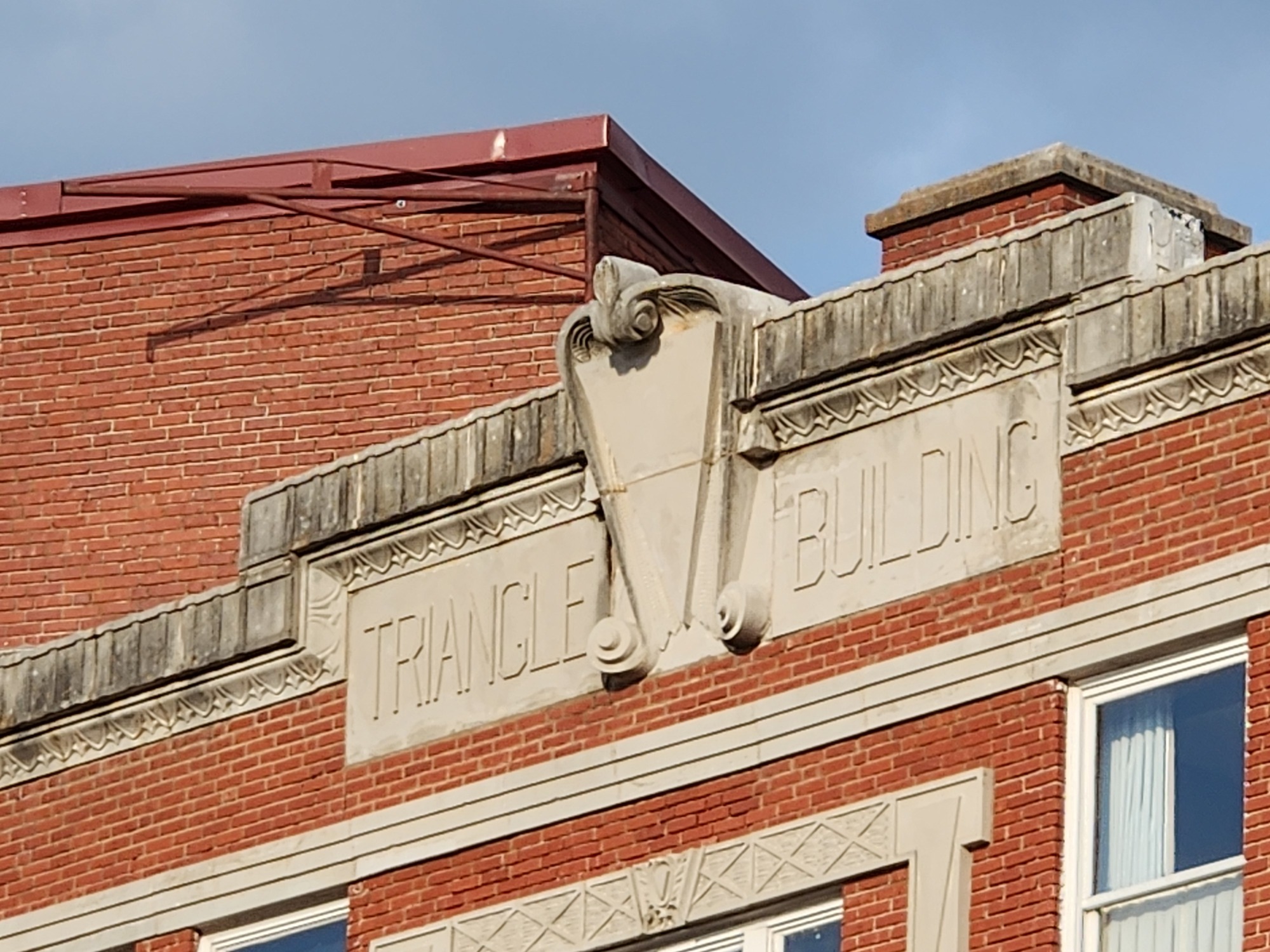
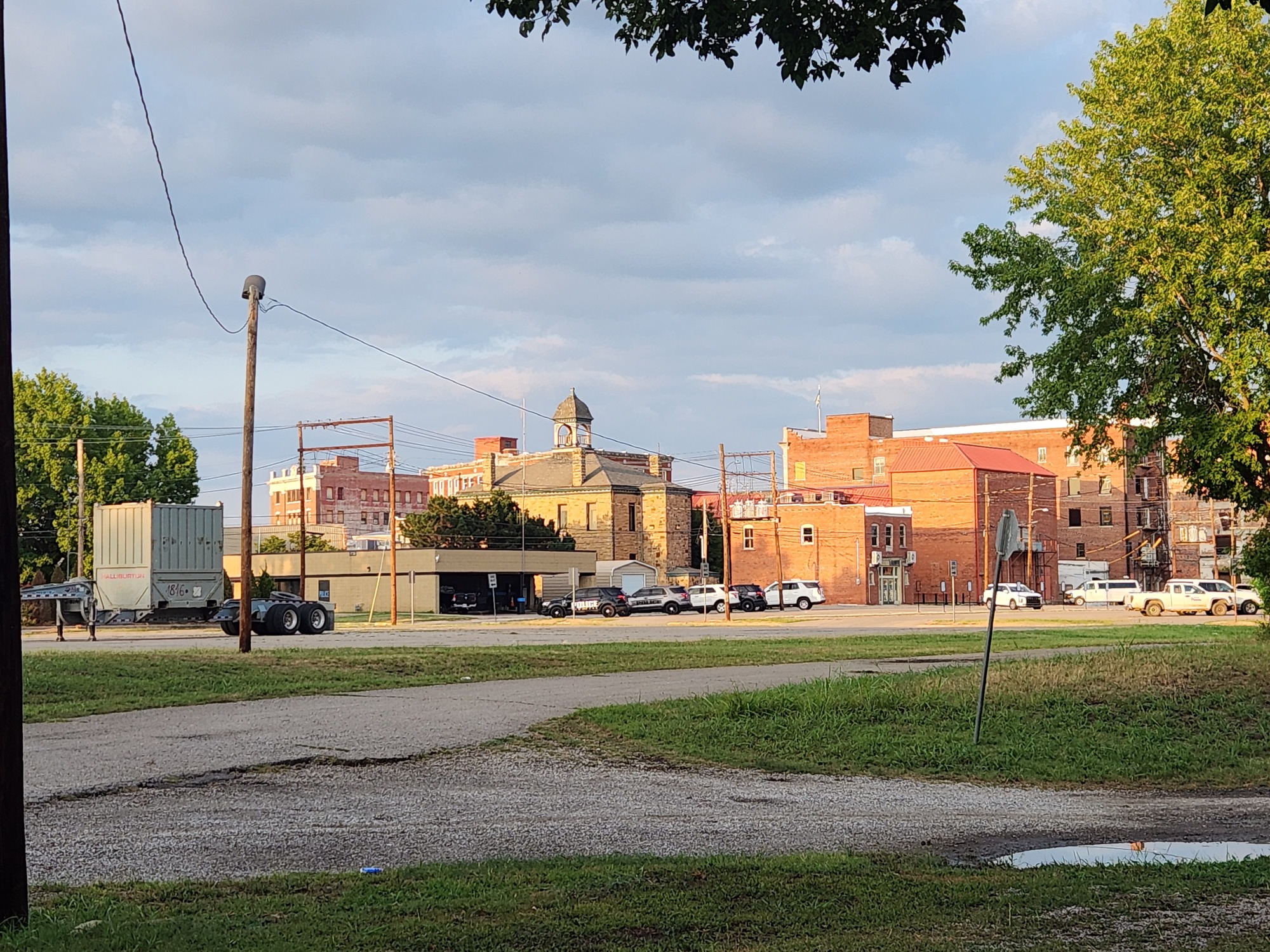
At 6:05pm I crossed US-60 and was in Pawhuska. I needed to be at The Dam Place before their closing time of 7:00pm. I had enough time to do some sightseeing first. I got to the downtown area using a bike trail through town. Pawhuska is more of a tourist town than I realized. They have interesting buildings here, including one called the Triangle Building. It's shaped that way because it sits on a triangle block.
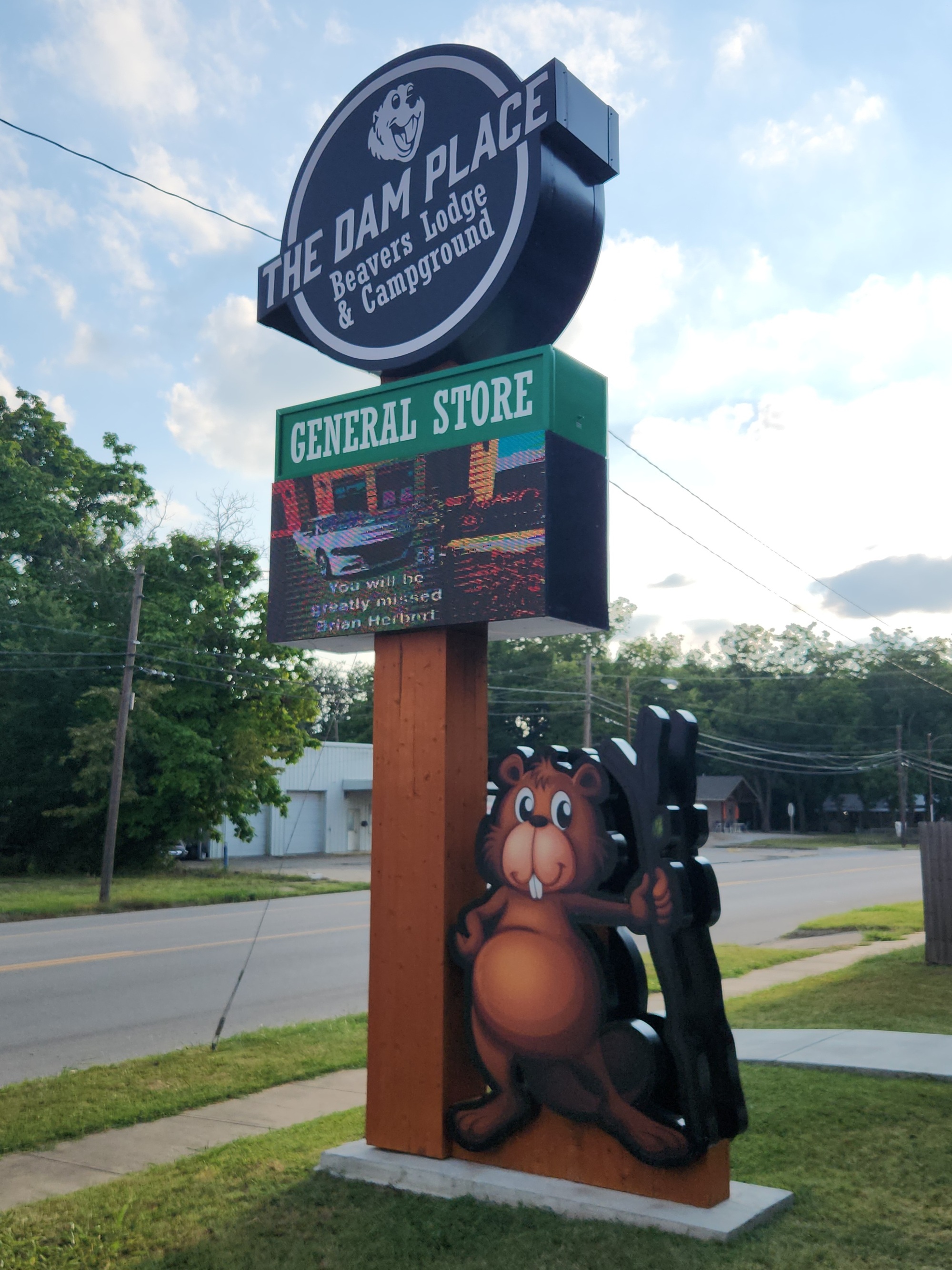
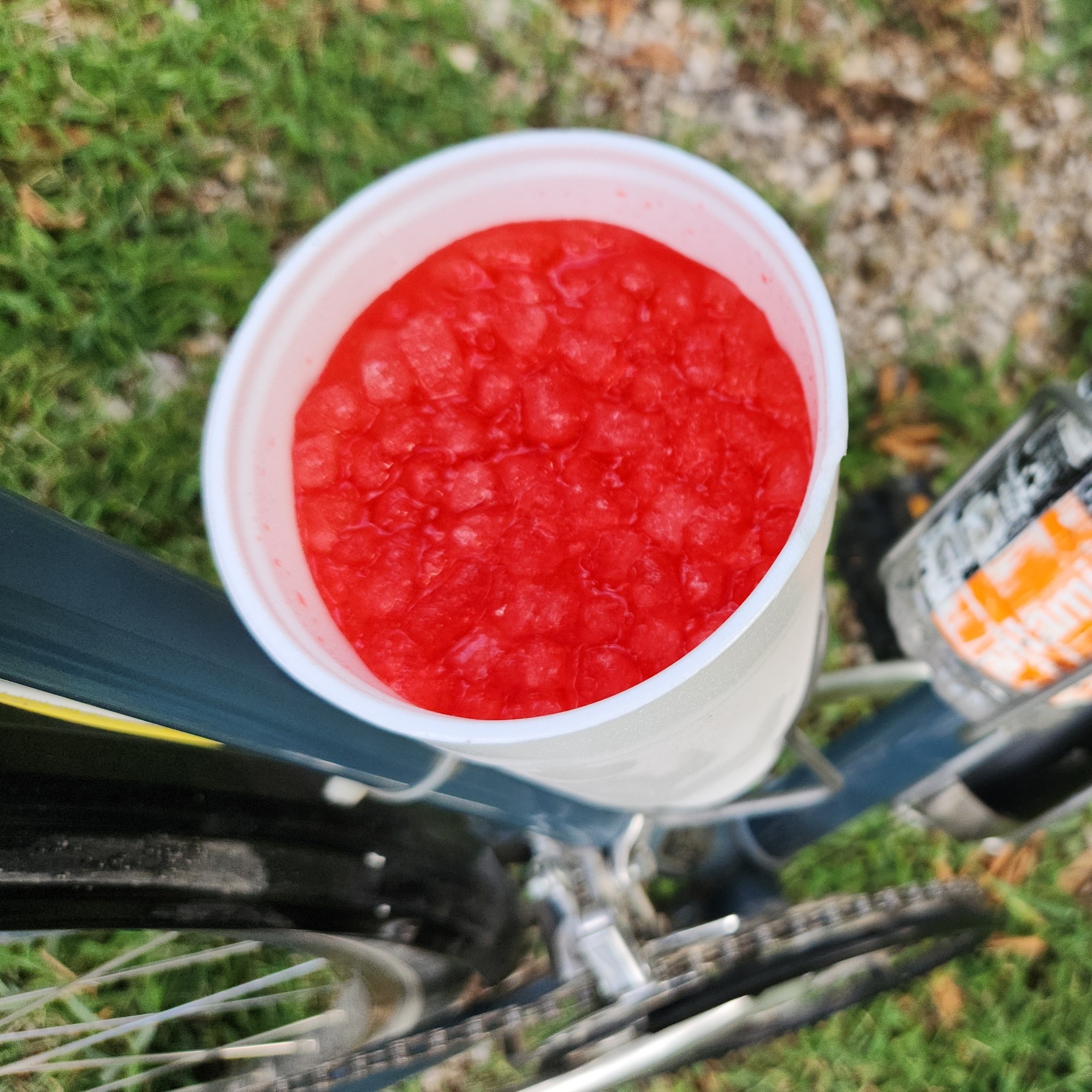
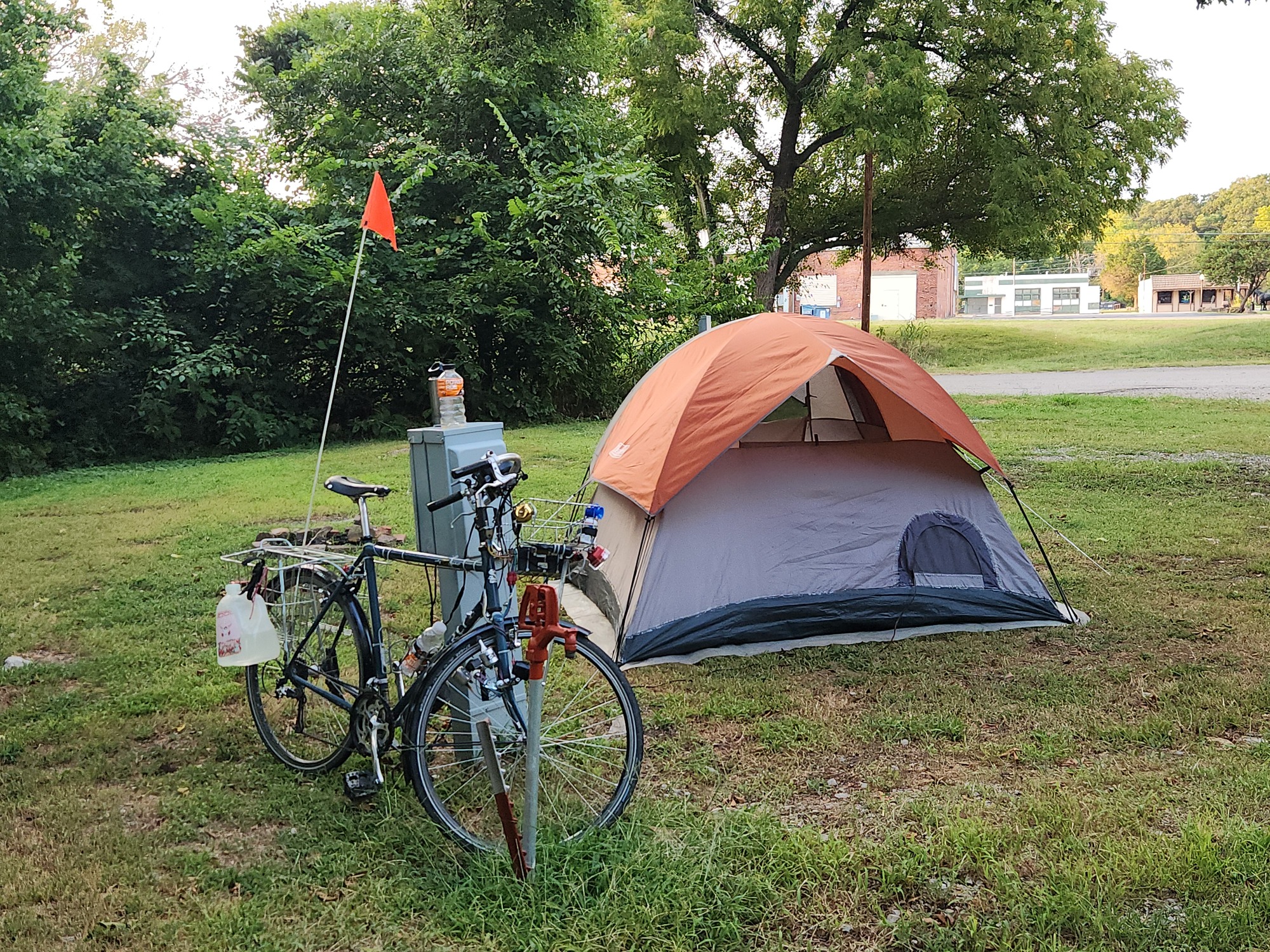
I finally arrived at The Dam Place at 6:43pm. Paid for camping, then bought a 32-oz cup of Big Red. The campground is south of the highway. I was assigned campsite #7, but none of the sites are marked here. I do have electricity, but maybe I'm at a RV site. There are three little huts nearby. I helped the occupant of one of the huts start her lawn mower so she could mow the fenced-in area she's set up for her three small dogs. She must be staying awhile. She said there are woodchucks nearby that like to watch the campers.
The weather forecast is calling for a chance of rain tonight, so I prepared for that. I have lots of pictures to sort through for today. That may have to wait until later. I'm ready to call it a day.
Jeff
Spent: $3.27 (Powerade) + $7.89 plus $2 (breakfast) + $5.44 (lunch) + $13.74 (campsite) + $1 (Big Red) = $33.34


| Heart | 0 | Comment | 1 | Link |
https://en.wikipedia.org/wiki/Gammage_Memorial_Auditorium
10 months ago
Today's ride: 47 miles (76 km)
Total: 993 miles (1,598 km)
| Rate this entry's writing | Heart | 4 |
| Comment on this entry | Comment | 0 |