July 3, 2012
Day 45: Saint Satur to Nevers, France: Ground Zero (no, not that Ground Zero)
Things are getting just a little tougher. As you will read later, services and signage are thinning out as we leave the official Loire a Velo area. Apparently to soften us up for this, fate has installed dozens of pinhole leaks in our sleeping pads. So we start the night comfy as anything and wake up in boot camp!

| Heart | 0 | Comment | 0 | Link |
We usually fritter away our camp time talking to other cyclists. What could be more interesting than where they have been, where they are going, how does that stand attach to the front rack, is that a real BoB trailer, etc. etc. But this time we were camped next to two people who were canoeing down the Loire. It's a whole different story and a whole different set of equipment. Valery and Geoff, as canoe fanatics are Canada fans and have visited lots. They are MEC members!

| Heart | 0 | Comment | 0 | Link |
We set off quite late, as we took time to make and eat three egg omelets. How un-French of us! Just behind St. Satur is Sancerre - featuring a chateau and fortress way up on a hill.

| Heart | 0 | Comment | 0 | Link |
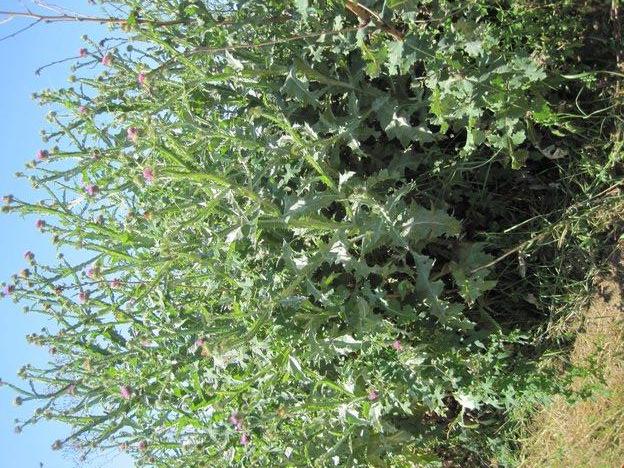
We turned our faces to the ride ahead, and found that it comprised a pretty much straight cruise on a paved path with wildflowers on either side. That was 30 km of straight wildflowers!
We passed the town of La Charite, on the other side of the river. But the lure of the path ahead was too great, and there was to be no detouring today.

| Heart | 0 | Comment | 0 | Link |

| Heart | 0 | Comment | 0 | Link |
We traded in our run down the river for a run down the Loire lateral canal.
Along the way we encountered a huge mowing machine, coming straight down the path and occupying it completely, while reaching its arm sideways to mow beside the path. I was curious to see what Dodie would do with this. She blasted on straight for the thing. Soon enough, it panicked and swerved out of the way. Good decision, mowing machine!
Quite soon after La Charite the customary Loire a Velo signs thinned out. Soon, they totally disappeared. The official end of the route is usually cited as Nevers, but it seems the developers either weakened early (or viewed in the opposite directon) took time to build up steam. All we could see, assuming we were still clinging to the mapped route, was medallions each KM in the centre of the path, giving the distance to KM zero. We watched these count down from about 100 (so that includes yesterday as well).
At the same time, there seemed to be almost no towns within reach, no water, no toilet stops. Near Givry, we were scouting about for the route and spied two women also looking lost. We shared what we had found so far, and also gave them some of our scarce water, for they now had none. We continued together for a while, allowing me to shoot this somewhat fake shot of all the tourist traffic:
In fact, the touring cyclists have significantly thinned out here, being either the cause or effect of the lack of services.
We hung on to the path long enough to see the road medallions count down to zero. So this was it. The start/end of Loire a Velo! It actually happens in the nondescript town of Cuffy. Cuffy is supposed to be a spot where one can restock, and go to a restaurant. In fact, what little it did have was all closed. All closed at 3:30 on a Tuesday - go figure.

| Heart | 0 | Comment | 0 | Link |

| Heart | 0 | Comment | 0 | Link |
In addition, the Camping shown on our map for Cuffy was non-existent. So although we had already decided not to take the 15 km detour over to Nevers, off we went, along the canal, ad with no additional water.
When we arrived in the vicinity of Nevers, there were initially no signs leading to the supposed Camping. However we noodled it out, arriving hot and beat. The Camping featured a place in the grass to put our tent, a hike up a small cliff to reach the one sanitary block, no tables,no water spigots, no distributed garbage receptacles, no wifi, lots of camper vans.
We were too beat to cross the bridge into Nevers, so we dumped two "TV dinners" into the pot and heated it up. Everything tastes great when you are camping!
We have now figured out that we have to start earlier and then hide from the sun somewhere in the middle of the day. Last year, that hide was called "Dairy Queen" if it were not called "McDonalds". This also afforded a chance to work on the blog. This year, we think the hide will be an oak tree, if we can find one.
Tomorrow, hopefully early, we will go into Nevers looking for supplies to sustain us in the "wilds" of France as it exists from here to Digoin, and beyond. If we had any internet or battery power, we would be rechecking other blogs to see if we are making this up (i.e. are delerious from dehydration). As it is, though, we will drink as much as we can, fill our water bottles tomorrow, see if we can stockpile some power pastries, and go for it!
Today's ride: 74 km (46 miles)
Total: 1,675 km (1,040 miles)
| Rate this entry's writing | Heart | 0 |
| Comment on this entry | Comment | 0 |


