May 31, 2024
The North Bend Trail and Beyond
To Wolf Summit, Clarksburg, and Shinnston
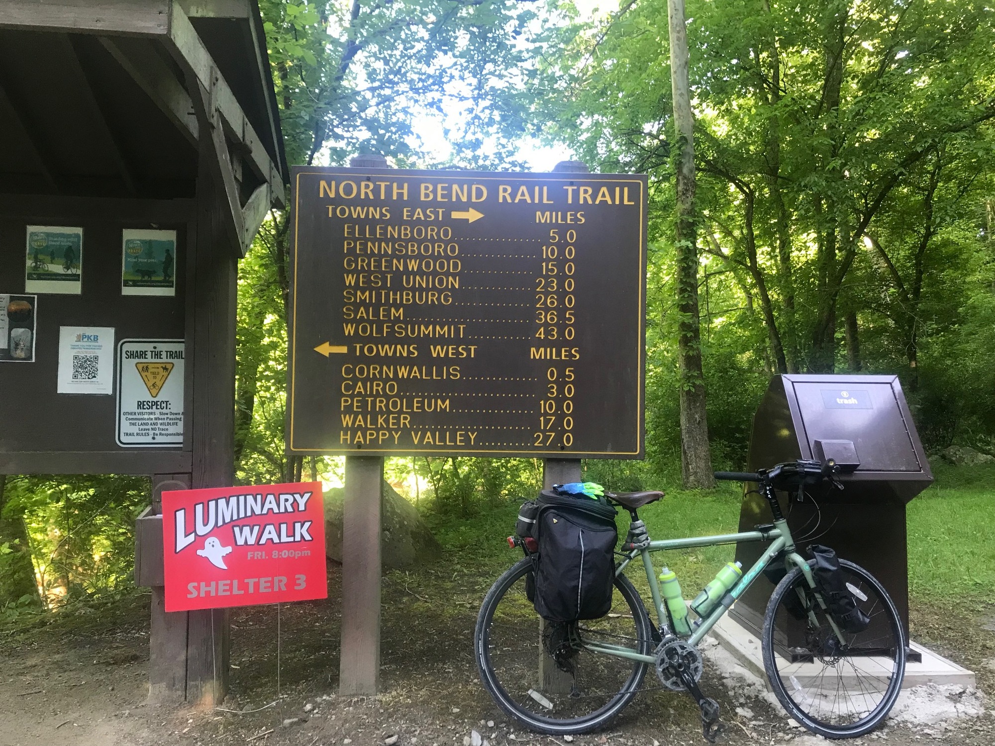
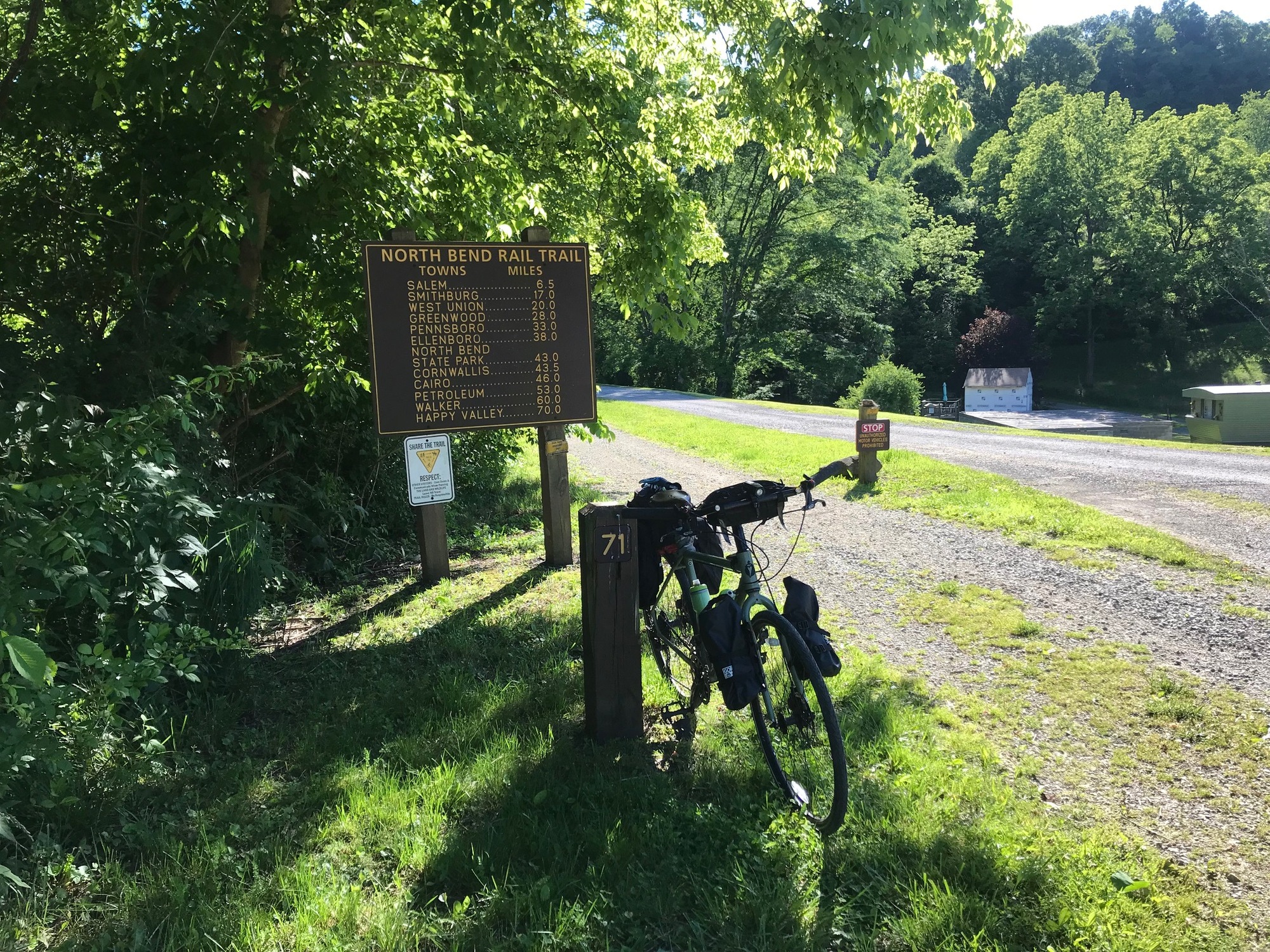
The North Bend Rail Trail (NBT) is 71 miles long and is operated by the West Virginia State Parks system. It has 36 bridges and 10 tunnels and is part of the American Discovery Trail, that crosses the USA. It is also part of a trail network called the P2P, i.e., Pittsburgh to Parkersburg (or vice versa). While the P2P still has some significant gaps, the ultimate goal is to connect the two cities via trails. Most of it is done but in order to connect at this time, one must ride a few roads.
The trail runs roughly parallel to US-50, which looks like an interstate highway at times. Sometimes, the trail is close to Route 50 and the traffic on it can be heard. At other times, the trail is far enough away that the only sounds are those of nature and your tires in the gravel.
Old Route 50, goes by a few other names now that it has been bypassed. It runs very quietly along the trail in some places and then veers away in others. Old 50 carries only local traffic, of which there is very little. I spent some time off the trail, riding on the adjacent roads, to give myself a break from the rough surface. While out on the trails and the roads in rural West Virginia, there was a lot of quiet time when I had things all to myself.
Wikipedia has a nice history of the days when the trail was a railroad that carried passengers and freight. In its post-railroad days, the NBT is now a beautiful trail that cuts across the heart of Northern West Virginia and provides a tremendous backcountry experience, if a cyclist is prepared. By prepared, I mean having yourself and your bike ready for:
- knowing what you're going to face and being mentally prepared,
- the rough gravel surface and having the right tires,
- the slower riding pace the roughness dictates,
- the lack of cell service in many places, and
- reviewing maps ahead of time to allow for the potential of using the adjacent country roads, if or when the roughness of the trail gets to you.

| Heart | 0 | Comment | 0 | Link |
On this day, I left the state park lodge after a good night of sleep and a great breakfast. It was cool when I made the long descent back down to the trail and headed east. Since I came from Ellenboro yesterday, I was retracing my path, for the first 5 miles. It was a beautiful morning with nobody else on the trail. This would be the pattern for the day and was consistent with what has been observed in several other trips on the NBT dating back to 2008. You're in for a lot of alone time when riding on this trail.

| Heart | 0 | Comment | 0 | Link |

| Heart | 0 | Comment | 0 | Link |

| Heart | 0 | Comment | 0 | Link |
When I made it back to Ellenboro, I was already tired of the rough gravel and envious of the rather smooth looking country roads that appeared alongside the NBT at various times. There seemed to be very little traffic on the adjacent roads because motorists were largely opting for the newer US-50 highway that I could hear at times. I wondered if I could use these roads to take a break from the rough gravel. My bike is a touring model and I am using 700 x 35 cc tires with inner tubes. If planning to ride this trail, I recommend minimally going with 38 cc tires that are tubeless.
My cell service was non-existent, so I couldn't map any alternatives. But I decided to head over to the adjacent old Route 50 that ran through Ellenboro and seemed to continue east. As I did so and continued east, an establishment called City Perk appeared on my left. It was a hot spot, meaning there was internet access inside. I locked up the bike and went in to what I thought was a coffee shop but turned out to be a bar with gambling machines. There was only one patron, engrossed with a machine, and the bartender named Sharin. They had coffee and she gave me a cup, free of charge. After a brief conversation, it turned out that Sharin (she advised me this is how her name is spelled) was quite knowledgeable about the local roads. We reviewed the maps, on my phone. She pointed out all of the places where I would need to make key turns in order to stay parallel to the trail and to be able to get back on it, if and when I chose. Another patron, Jonathan-D came in and offered some additional perspective, as well. I stayed there longer than I should have but Sharin was great, the information was spot on, and the time was well spent.

| Heart | 0 | Comment | 0 | Link |
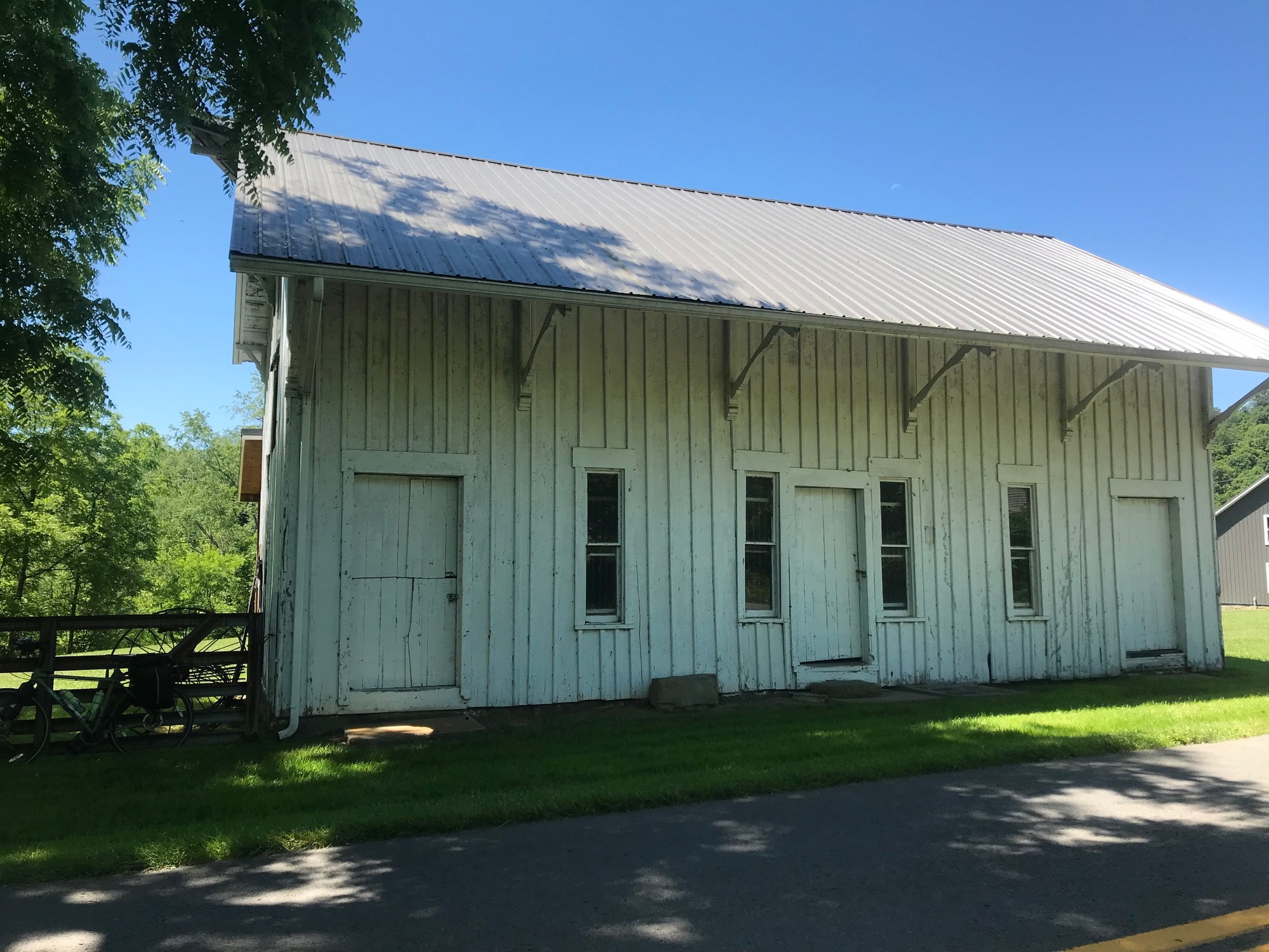
I bade Jonathan and Sharin goodbye and headed down the road. Old 50 had some traffic between Ellenboro and Pennsboro but it was nothing to worry about. The courteousness of motorists, to which I had become accustomed, continued on that stretch of road. At Pennsboro, I made a brief stop for hydration and a few snacks before continuing on. It is also a trail town and has some services for anyone passing through. East of town, my road continued and was now called the Northwest Turnpike (NW Pike). If anything, the traffic volume lessened. The road wound a bit and there were some undulations but none of the hills were difficult. The road took me through Tollgate, an unincorporated trail town that I recognized from previous rides.

| Heart | 0 | Comment | 0 | Link |
From Tollgate, the NWT left Ritchie and entered Doddridge County. Since having left Sistersville, yesterday, I passed through Tyler, Pleasants, Ritchie, and Doddridge Counties. The first town in Doddridge County was the unincorporated Greenwood, West Virginia. There, I had to make a turn onto Long Run Road. Most of the time, during this entire road ride, I could either see the trail itself or see where it was running on a ridge or in a valley. Sometimes, when the trail seemed to disappear, my road came around a bend and crossed the trail. That gave me the peace of mind that I was not becoming totally lost on some backroad where I had no cell service to assist with finding my way.

| Heart | 0 | Comment | 2 | Link |
At Duckworth Road, I could have continued on the blacktop but chose to get back on the trail because the surface seemed friendlier. The gravel consistency was finer and the ride smoother. Since the lushly growing vegetation had not been addressed recently, there were tall grasses and weeds on both sides and sometimes in the middle of the trail. It did not impede my passage at all.

| Heart | 0 | Comment | 0 | Link |

| Heart | 0 | Comment | 0 | Link |
My first goal was to try and get to West Union, where services would be available. The trail in this area was mostly a lot friendlier to my bike but there were a few rough sections. It looks like the latest trend is to use the aforementioned larger grade of gravel when either resurfacing or making repairs. At one point, I saw large piles of such stone awaiting use on the trail. Ugh!
Eventually, I made it to West Union, which lies roughly at milepost 50 on the trail. I took a spin up through town and then to the BP Gasoline Station and Convenience Store that I had visited on previous trail rides. It's a busy little place, perhaps due to the fact that it is the only game in town. I stocked up, took a short break, and headed back up to the trail. At milepost 52 there is a picnic table. There I saw a small colorful cardboard box on top of the table. When I went over to investigate, it turned out to be an inner tube box, presumably left there by a cyclist. My fears of getting a flat tire were not unfounded.

| Heart | 0 | Comment | 0 | Link |
I continued on to Smithburg, the next little trail town, located roughly at milepost 54. It has a trailside park but not much else was happening there. The trail surface was becoming rougher, so I was again pondering the use of adjacent roads. At milepost 57, a very smoothly paved trail surface lies adjacent to the road leading into the gas processing plant. It is welcome relief to all of the pounding provided by the rough gravel. However, it is short lived, lasting about a mile. Because there were not any adjacent roads that seemed to go in my direction, I stayed on the trail, traveled carefully, and continued to be on the look out for other options.

| Heart | 0 | Comment | 0 | Link |
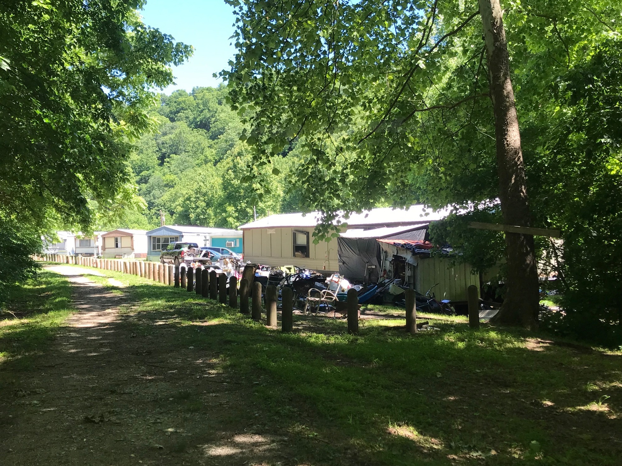
At approximately milepost 60, the adjacent Salem Long Run Road (SLRR) seemed to provide a reliable alternative to the rough trail surface. I opted for it and the decision was a good one. SLRR ran parallel to the trail all the way into the town of Salem. A mixture of homesteads were observed along its course. Some were in good shape while others had either collapsed in on themselves or were destined to do so in the near future. People come out here to make lives for themselves that are independent of governments and other people. Some are able to pull it off while others are unsuccessful, for reasons unknown to a passerby. All you can gauge for sure are the end results... some good, some not so good.

| Heart | 0 | Comment | 0 | Link |
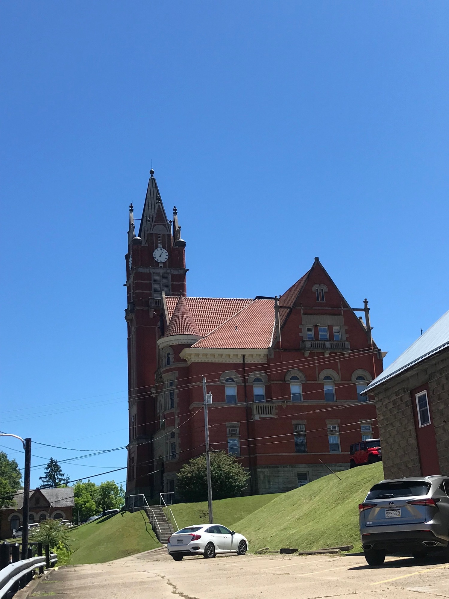
After a number of quiet country miles, I got to Salem and was surprised to find the trail was very nicely and smoothly paved all the way through town. The distance was a little over 2 miles and was vastly improved over my last trip through when the surface was all grass. See the contrasting photos below.

| Heart | 0 | Comment | 0 | Link |

| Heart | 0 | Comment | 0 | Link |
I stopped at the trailside Dairy Queen to check on my lodging for the evening, in Shinnston, some 25 more miles away. As there were not many lodging options in the area, I had to be sure before committing to going in that direction. Because the going was slow all day, it was now getting late. The potential for arriving somewhere after dark was there and I wanted to avoid that scenario, especially if traveling on roads. The proprietor, Linda, called me back and confirmed my reservation at The Bunk House, in Shinnston. With that bit of peace and security, I finished my milkshake and headed down the home stretch for this day.
Once out of town, the trail surface resumed its rough and large stone gravel identity. I was growing tired of all of the pounding and weary of worrying about pinch flats. Wolf Summit, the eastern trail terminus, lay 5 miles hence and it couldn't come quickly enough for me. I needed to get off this trail and make tracks to Shinnston before it got dark.

| Heart | 0 | Comment | 0 | Link |
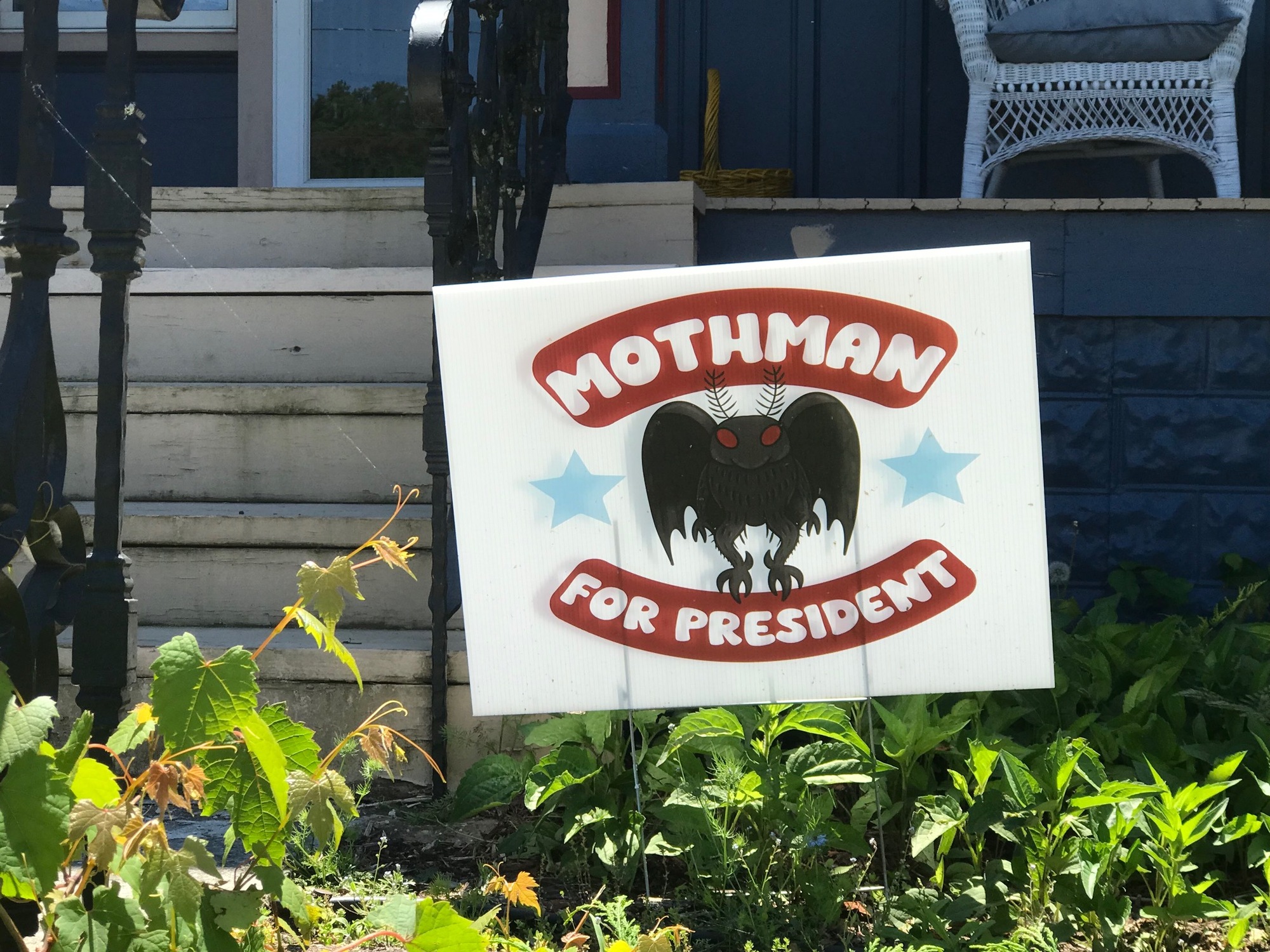
At around milepost 66, another adjacent road appeared, so I got onto it. It turned out to be a good move. At milepost 67.75, an adjacent homestead had a pickup truck parked in such a manner as to completely block the trail. There was another SUV-type vehicle parked alongside and slightly in front of the truck. The net effect was to make it impossible for a trail user to pass by without going onto the homeowner's private property. Judging from the Trump and the 2nd Amendment signs on the house, this appeared to be someone looking for trouble. Out there, alone in the West Virginia backcountry, picking that kind of a fight might not be in a person's best interest. On the adjacent road, it was not a problem because nothing stirred when I passed... not even a mouse.
Immediately beyond milepost 68 was the last tunnel (for me) or the first, if you start at Wolf Summit. From there, the final 2.5 miles to the finish continued roughly and remotely. Wolf Summit is a small village that is usually very quiet any time I have passed through. It looks like some trail modifications have been made since 2017. Back then, it was even rougher than it is now and seemed to have been largely ignored by the park service. There was a huge wet quagmire a few hundred feet beyond the trailhead when our group passed through. That appears now to be gone and the surface is much better than it was then.
| Heart | 0 | Comment | 0 | Link |

| Heart | 0 | Comment | 0 | Link |
As I stated earlier, the North Bend Trail is one that should be experienced. It has its challenges but they are able to be met if one is prepared with the proper equipment and the proper mental attitude. If you are considering riding it, I hope my account here has helped you to know what to expect.
From Wolf Summit, I had approximately 19 miles of roads to go. Because I was racing the sunset, I didn't stop for any photos. So, here I will give you a brief verbal description along with a couple of photos form the much more relaxed ride our group took on the roads between Wolf Summit and Clarksburg, in 2017. I had only ridden "The Pike" between Clarksburg and Shinnston once before and didn't take any photos then. So words alone to describe it will have to suffice, for now.
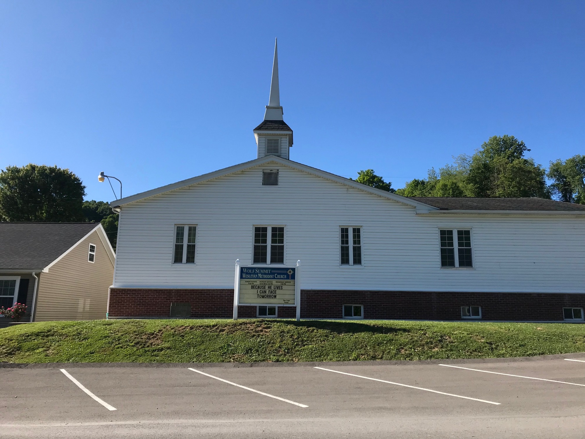
Leaving out of Wolf Summit requires several miles on Wilsonburg Road. It leads to Reynoldsville and none other than the hamlet of Wilsonburg itself. Along the way, there is some traffic but it is very light. Since there are more people living in the area than where I had come from earlier in the day, there were more houses, churches, and a few business establishments along the road.
| Heart | 0 | Comment | 0 | Link |
| Heart | 0 | Comment | 2 | Link |
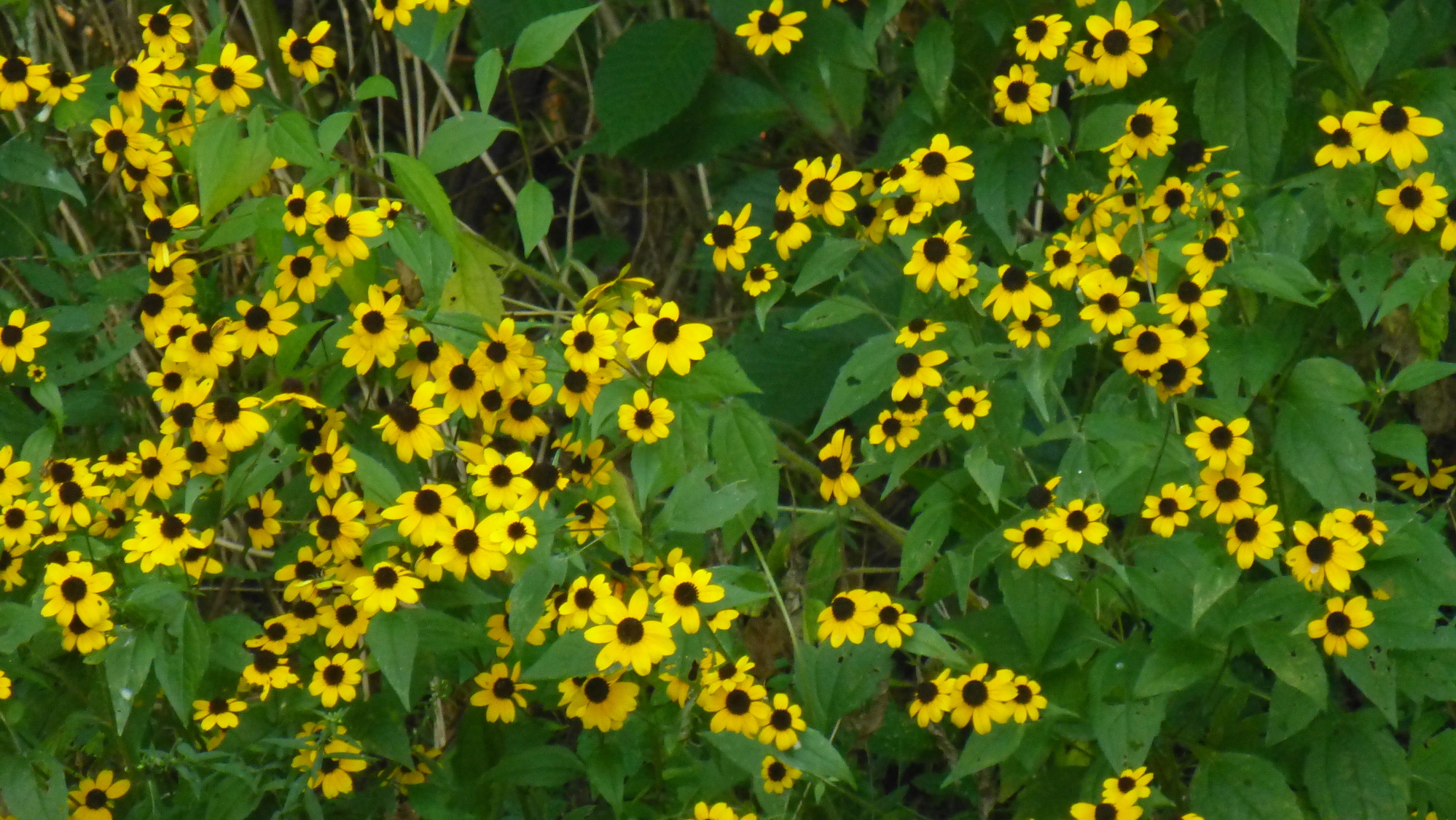
https://www.inaturalist.org/taxa/142654/browse_photos
Or black-eyed Susans?
https://www.inaturalist.org/taxa/62741/browse_photos
1 year ago
1 year ago
Wilsonburg Road led to Limestone Road and finally to the Shinnston Pike, which is comprised of US-19 and SR-20 running together. It begins/ends at Clarksburg. From there, it's all uphill to Shinnston because Clarksburg lies in the valley of the West Fork River. With 7.5 miles to go, I put my head down and ground it out. The road is narrow, it winds around and through the hills, and it has steady traffic. People live along the road in spots and there are businesses also. In other areas, the road seems to be a no man's land. There were some traffic lulls followed by trains of vehicles passing me. It was Friday evening and people appeared to be on their way to somewhere, hopefully fun. I didn't care anymore and kept on moving along.
I made it to The Bunk House before sunset, got my room, and took a very welcome shower. Afterwards, I hoofed it down to the 7-Eleven to procure a bit of nourishment and a lot of hydration.
The Bunk House is a low cost and not very fancy motel. However, it was clean and the bed was extremely comfortable. I got a great night of sleep for my last night on the road. Tomorrow would be the true home stretch and I would be ready for it!
Today's ride: 59 miles (95 km)
Total: 754 miles (1,213 km)
| Rate this entry's writing | Heart | 1 |
| Comment on this entry | Comment | 0 |