May 29, 2024
Sistersville
Back to the Shores of the Ohio
I awoke to another heavy rain storm. This has certainly been a wet Spring and a damp tour, at times. The forecast was for it to clear up around 8:00 AM, with chances for more showers after the Noon hour. So, I took it easy, got ready, and departed around eight o'clock, with the sun shining.
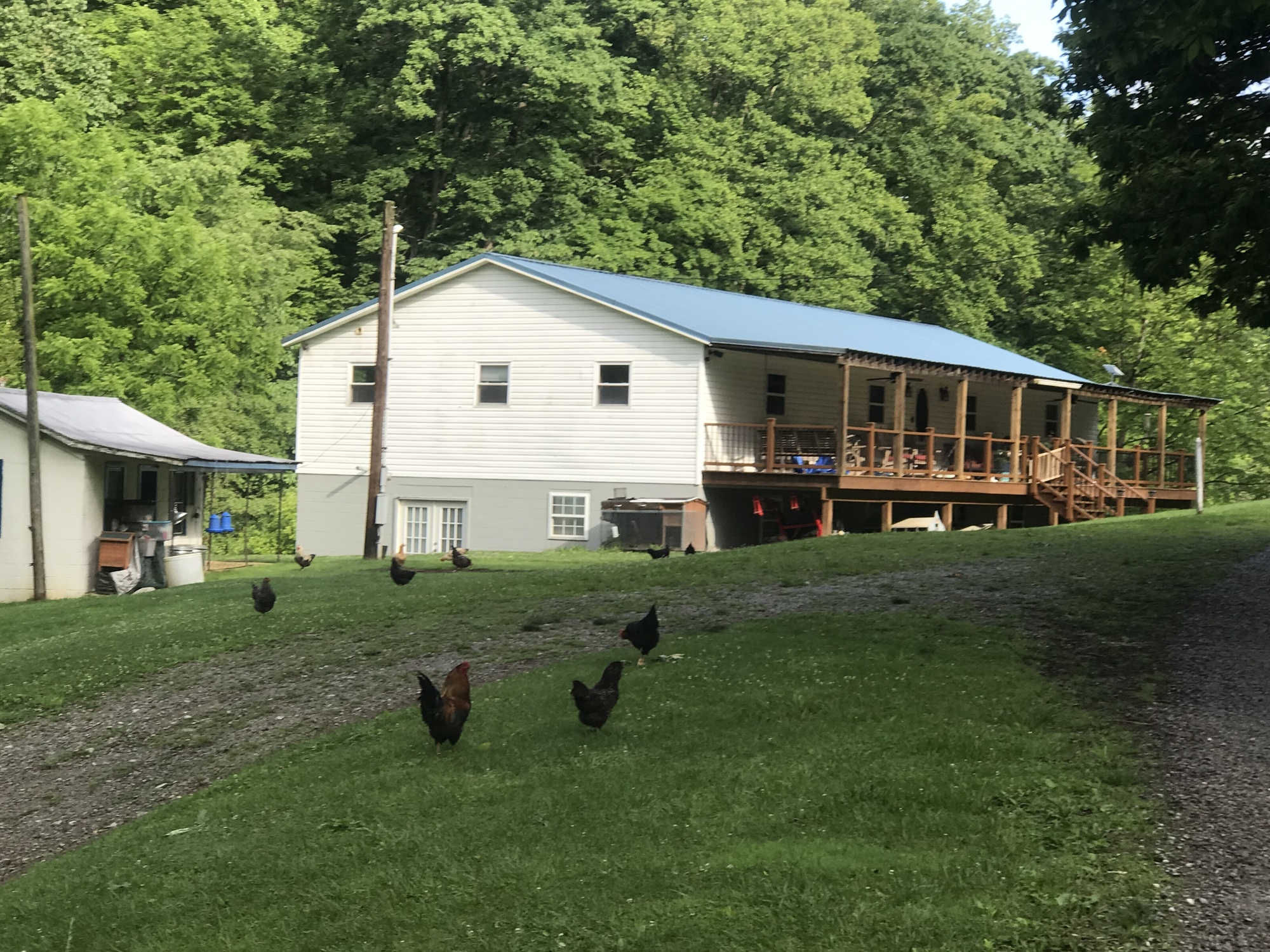
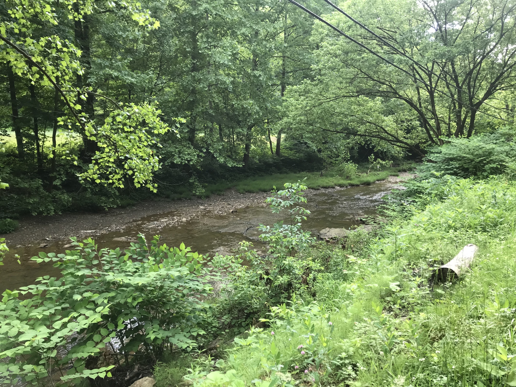
The road my lodging was on, Willey Fork Road, was gravel and very wet. So, I walked it, as it descended for close to a mile. There it followed a stream bed, which is called the Willey Fork of the Long Drain. About 2 miles into the ride, the gravel turned back into pavement. From there, I had a very smooth and mostly flat ride to the unincorporated village of Big Run, which is not more than a small cluster of houses.

| Heart | 0 | Comment | 0 | Link |

| Heart | 0 | Comment | 0 | Link |
At Big Run, the Long Drain met the North Fork of Fishing Creek. The road name changed to North Fork and followed the larger stream. The road character didn’t change much. It made for a very pleasant ride that gave me a break from all of the hills I climbed yesterday. The road led into the small community of Pine Grove and came to an end at SR-20. I turned right and stopped at a Dollar General for my first break of the day.

| Heart | 0 | Comment | 0 | Link |

| Heart | 0 | Comment | 0 | Link |

| Heart | 0 | Comment | 2 | Link |
https://en.wikipedia.org/wiki/Apocynum_cannabinum
1 year ago
1 year ago
The morning continued to be very pleasant. It remained sunny but cool. Riding on SR-20, I saw increased traffic. Fortunately I only had to deal with it for a couple of miles. A gas station and convenience store provided a brief respite. Then at Reader, I turned left onto County Route 40 (CR-40), where the climbing that had been absent thus far inserted itself into the equation for the day.

| Heart | 0 | Comment | 0 | Link |
This part of the day resembled yesterday afternoon. There were repeated ascents and descents with occasional drilling trucks thrown in for good measure. Once again, all were courteous and most waved when passing. The main parent company, Antero, has a campaign to specifically encourage driver courtesy. I saw signs to that effect all along this part of my route today. It’s working, from what I can tell.

| Heart | 0 | Comment | 0 | Link |
From CR-40, my route slid to the right onto Wetzel-Tyler Ridge Road (WTRR). The ups and downs continued. Some of them were quite steep. The truckers were still friendly and a few gave me a thumbs up. They have to get those heavy rigs up those hills so they had an appreciation for my efforts on the bike and ascending those same hills.

| Heart | 0 | Comment | 0 | Link |
Upon cresting a steep incline, the skies suddenly darkened, the wind began to blow, and the thunder rumbled. As soon as I got my jacket on, the heavens let loose. Briefly, there was some hail. Since the area was wide open, I had nowhere to hide, so I kept on going. Reminds me of a Winston Churchill quote, "When you're going through hell, keep on going." This wasn't hell but it was not the most pleasant riding condition I've ever experienced. Thankfully, this round of inclement weather did not last too long.
Immediately before a particularly steep hill, my route called for a sharp left. The road, named Mothman (after the creature in the movie, The Mothman Prophecies) immediately turned to gravel, descended steeply, and began to follow Point Pleasant Creek. From the movie, you may remember that Point Pleasant, West Virginia was where the Mothman was reported to have appeared before the bridge collapsed into the Ohio River. Hopefully, no catastrophes were awaiting my descent.

| Heart | 0 | Comment | 0 | Link |
While I was glad to have avoided the steep hill, the rough gravel and the steep drop were no picnic. I walked down the steep and rough incline, in the rain. The rain stopped for a bit and then it began to rain again. So much for keeping my bike clean… or myself for that matter. Fifteen minutes later, the sun was back out but the bike and I were covered with grit. I pushed on because surely Sistersville was only 10 more miles further down the road.
Coincidentally (with 10 miles to go), the pavement resumed at Ten Mile Run Road. It led me to SR-180, which took me to SR-18. Then, it began to rain again. By this time, it was only a mild irritation. Sistersville was ahead, come hell or high water… both of which seemed to be possible.

| Heart | 0 | Comment | 2 | Link |
https://www.inaturalist.org/taxa/50879-Erigeron/browse_photos?place_id=33
1 year ago
1 year ago
In spite of the rain, I made good time on all of those roads, Ten Mile, SR-180, and SR-18. A right turn onto Greenwood Road started the last climb of the day. An extensive local cemetery was positioned on the top of the hill above town. The descent was long, winding, and wooded on both sides of the road. Like that, it popped out into town.
I crossed SR-2 and found my lodging site quickly. The Wells Inn is an old hotel that once flourished along with the town. A small but extended family bought it and is trying to restore it. They got a hose going for me so I could clean the bike. Then Ann offered to do laundry for me. The place is definitely old, it needs some work, but the people are great. If you can get past a few things, this is a very good place to stay.
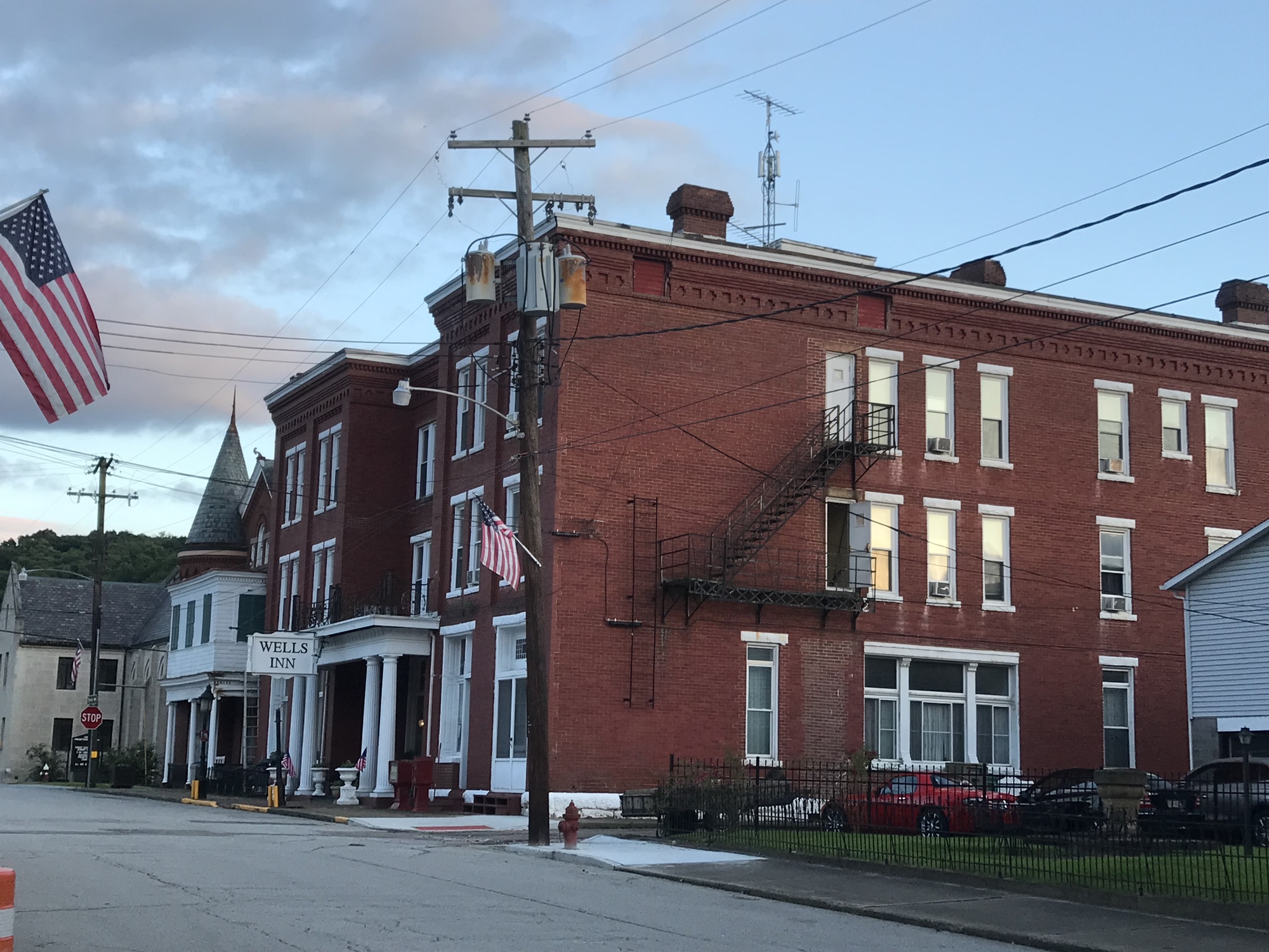
I was told that Charles Wells stopped here with his wife and 22 children! They didn't fool around back in those days... then again, maybe they did. Originally on their way to Kentucky, upon seeing the place, the family decided to set up shop. The name comes from the Wells sisters, who had land grants and helped to get the town going. Oil was a big industry here at one time. The boom and bust cycle is evident in some beautiful old buildings, some of which are in decline today. There is a riverwalk and a museum that I hope to be able to check out before my departure. This was another tough but good ride in the Mountaineer State. I’m in Tyler County now and headed for parts unknown tomorrow.
Today's ride: 42 miles (68 km)
Total: 622 miles (1,001 km)
| Rate this entry's writing | Heart | 0 |
| Comment on this entry | Comment | 0 |