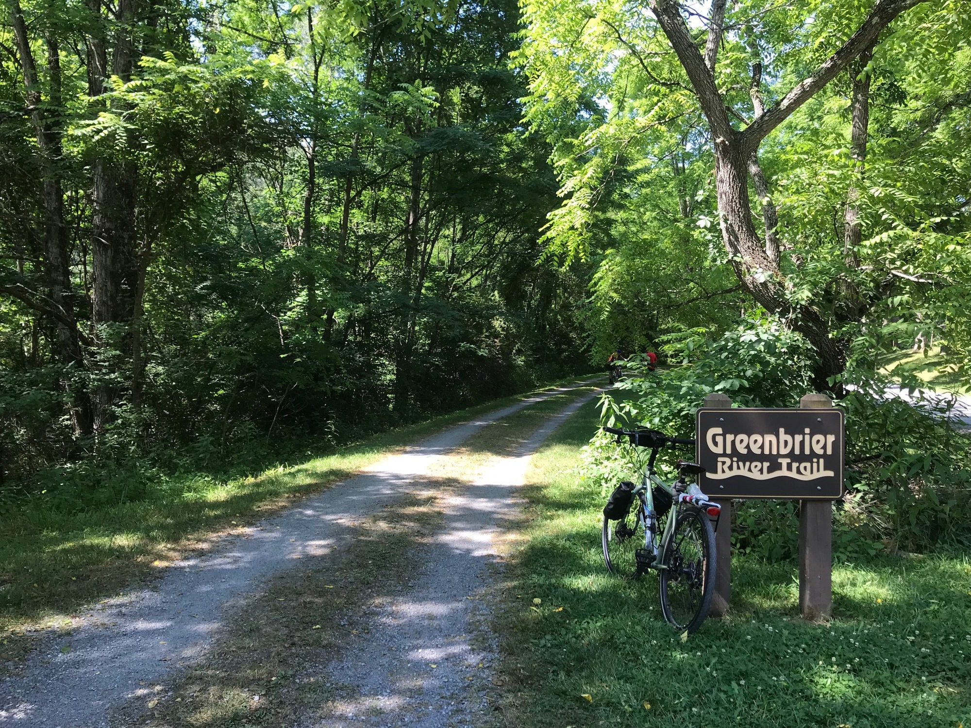
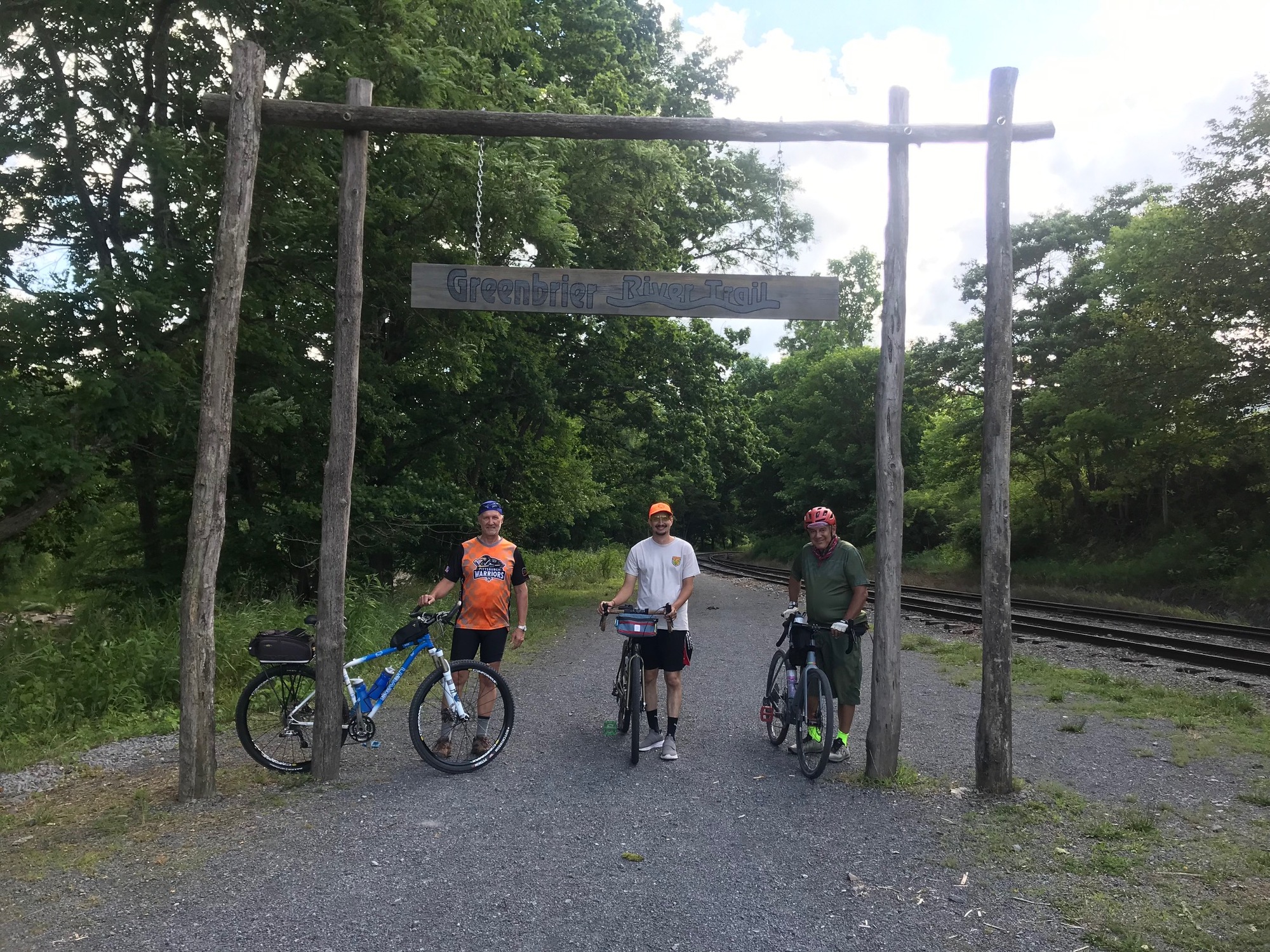
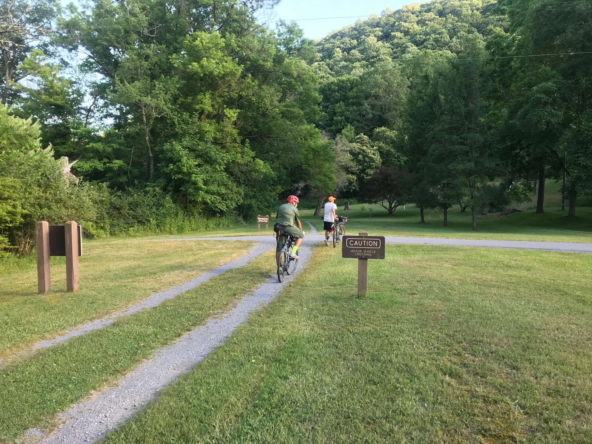
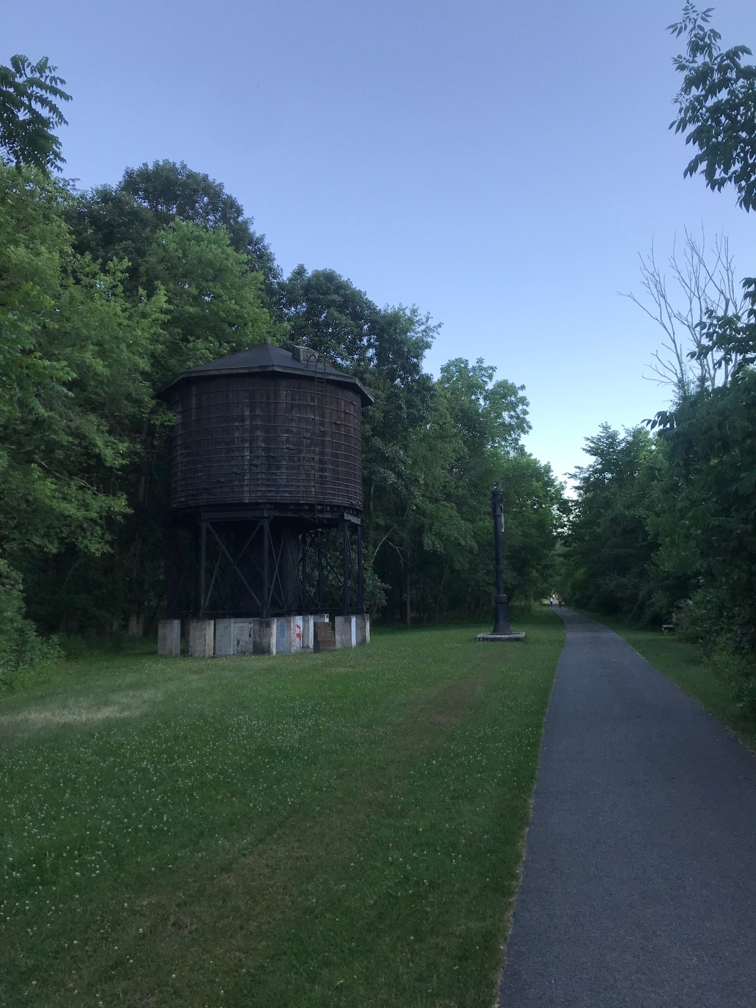
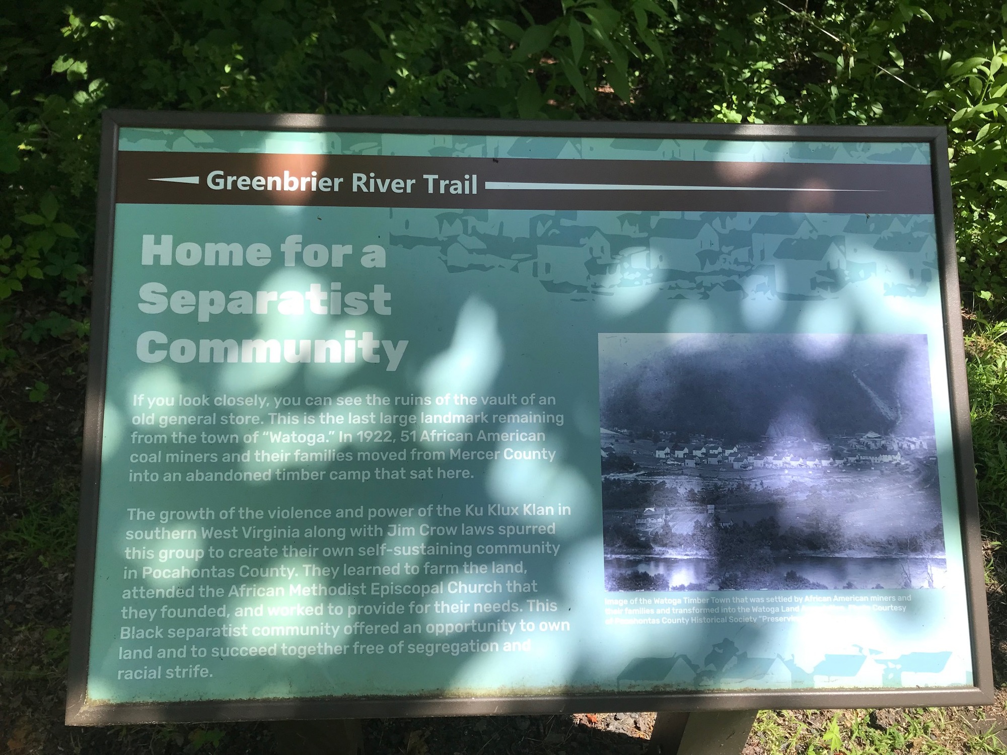
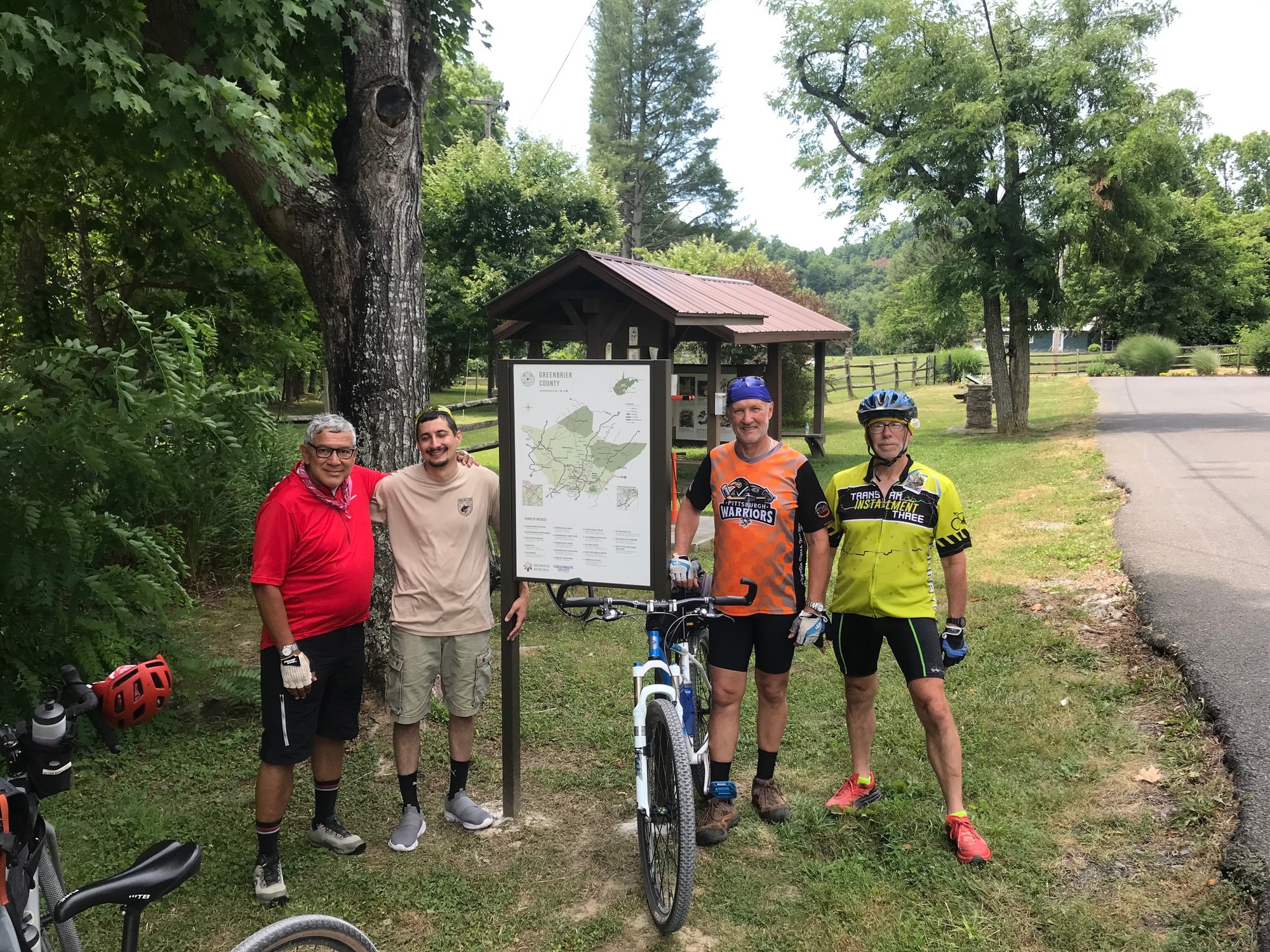
The Greenbrier River Trail (GBT) is one of the premier trails in West Virginia. The well-maintained path runs roughly parallel to the Greenbrier River in Pocahontas and Greenbrier Counties. Its length is a bit under 80 miles, from Cass (Pocahontas) in the North to Caldwell (Greenbrier), at its Southern Terminus. If touring the Mountaineer State, this trail should not be missed. With that in mind, four (4) of us decided to ride it in late June. The riders were, Tim-G, Phillip-T, Phillip's son Anthony-T, and yours truly. I had ridden a portion of the GBT about 12 years ago but always wanted to come back and do the whole thing. The time is now!
In order to see the trail and enjoy its surroundings we decided to break the ride up into three shorter segments. The small town of Cass, in the North, was the most convenient place to begin. Starting there also means there is a slightly downhill trajectory for the whole ride. However, the entire elevation gain or loss, depending upon in which direction is traveled, is 1000 feet, over 78-80 miles. Nothing to get worked up over, if starting in the South is more convenient.
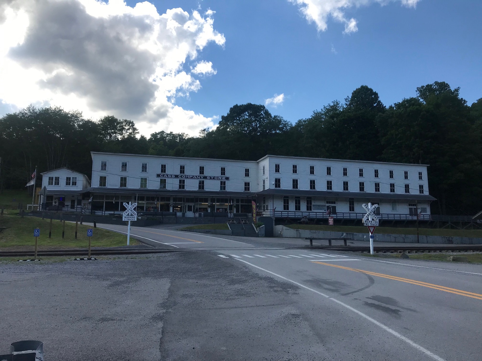
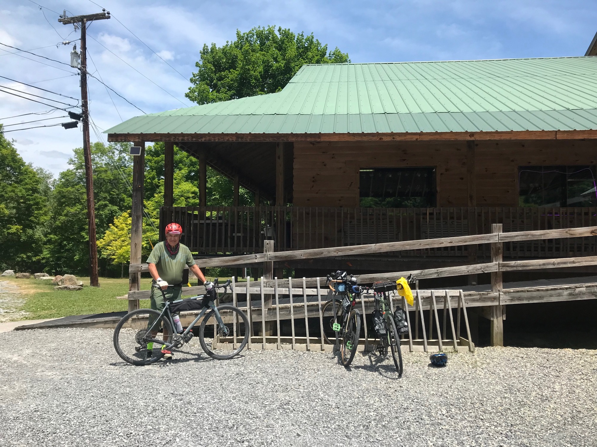
We met near the train depot building that dominates the town. The headquarters of the Cass Scenic Railroad excursion train is there. It takes tourists on a memorable ride through the mountains to the East. The trailhead lies immediately across a small bridge that is visible from the depot. Since we were there to ride the trail, after a brief visit to the company store and its restrooms, we headed across the river and to the trailhead to begin our journey.
The depot and headquarters for the Cass Scenic Railroad excursion train.
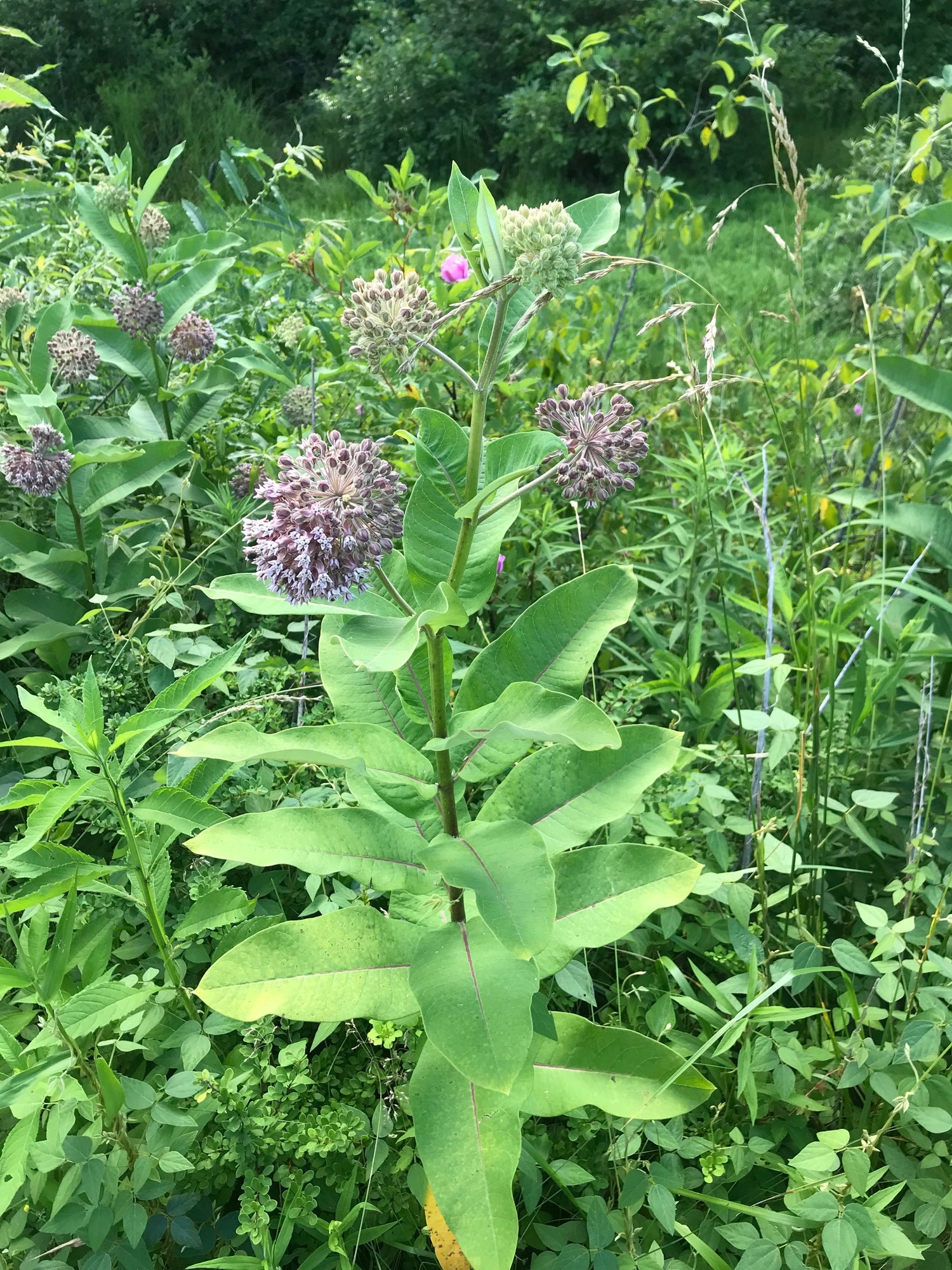
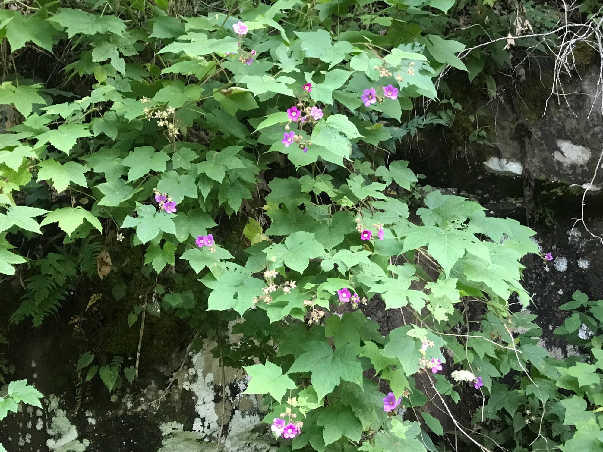
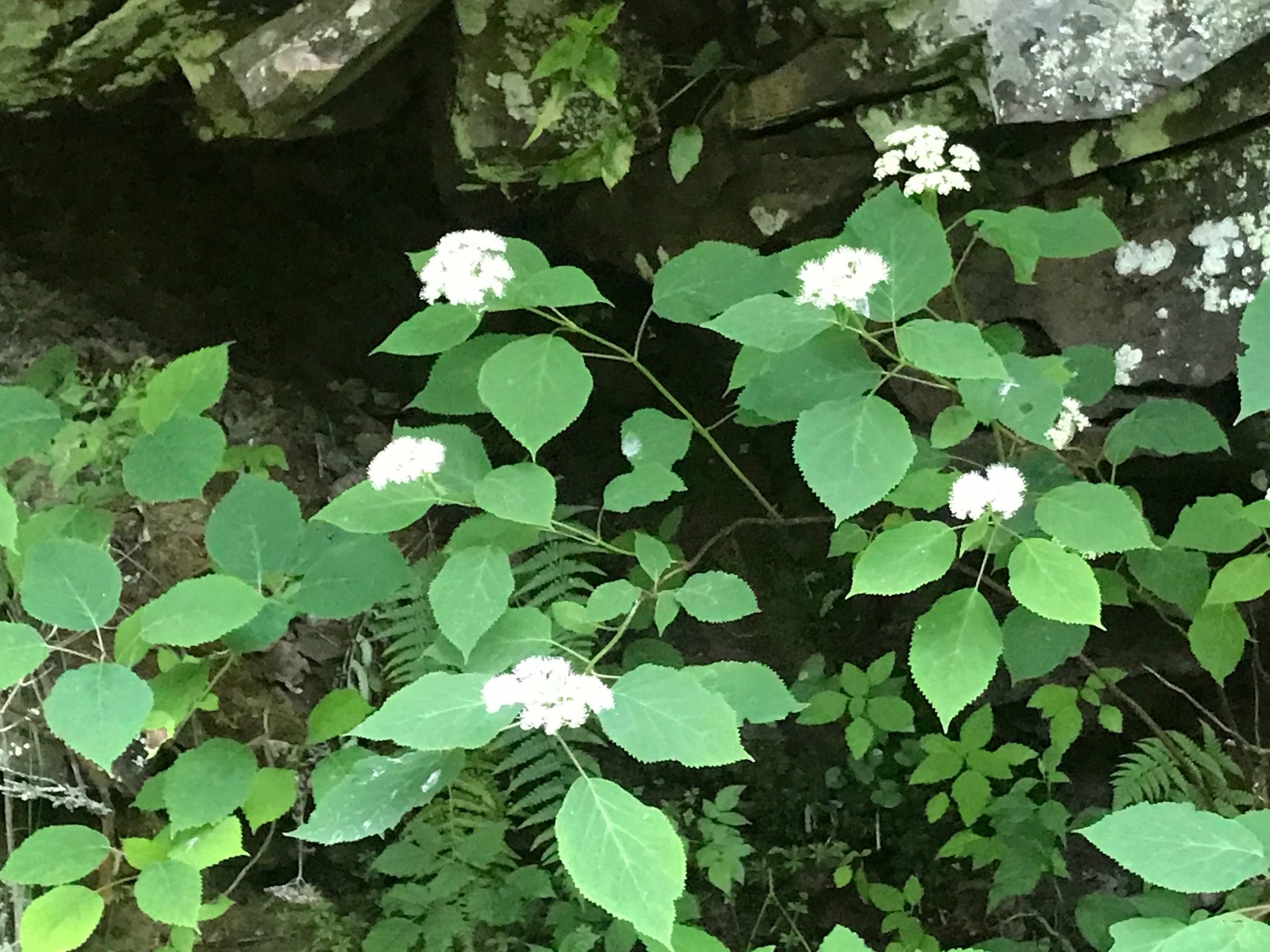
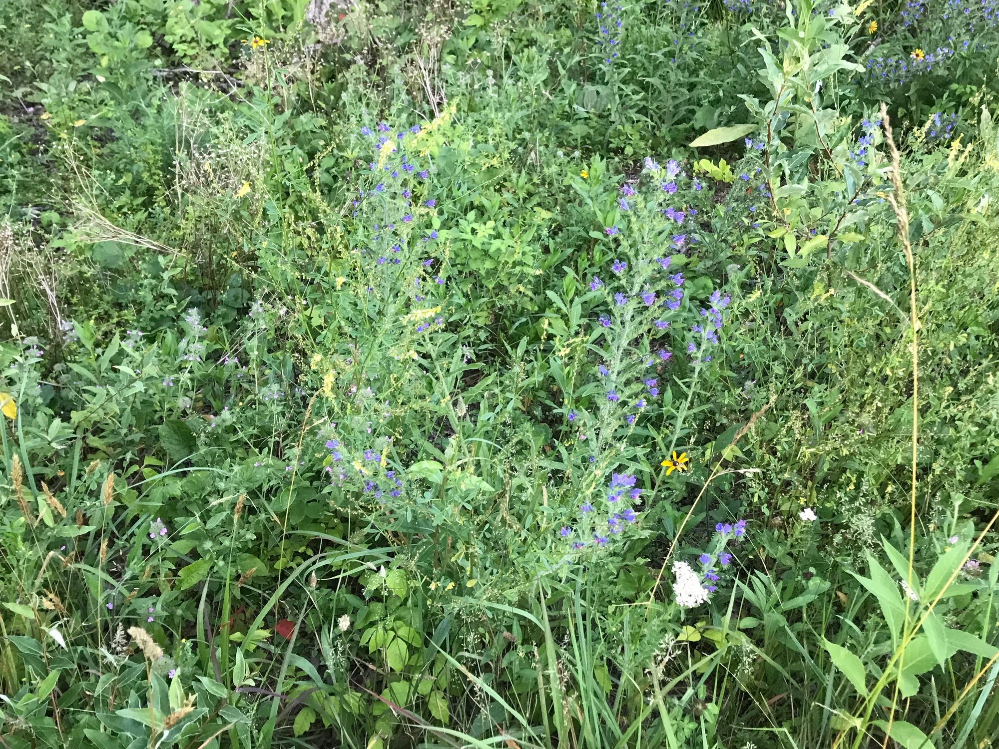
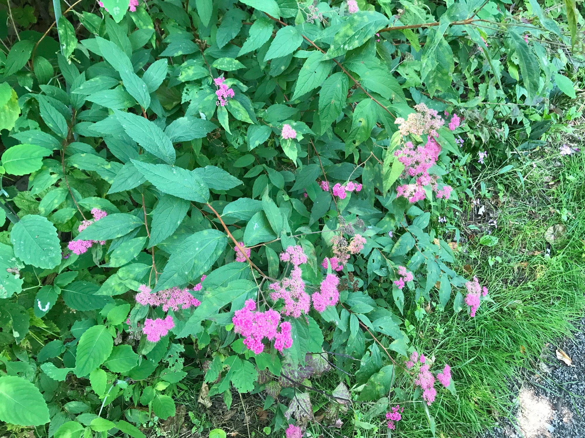
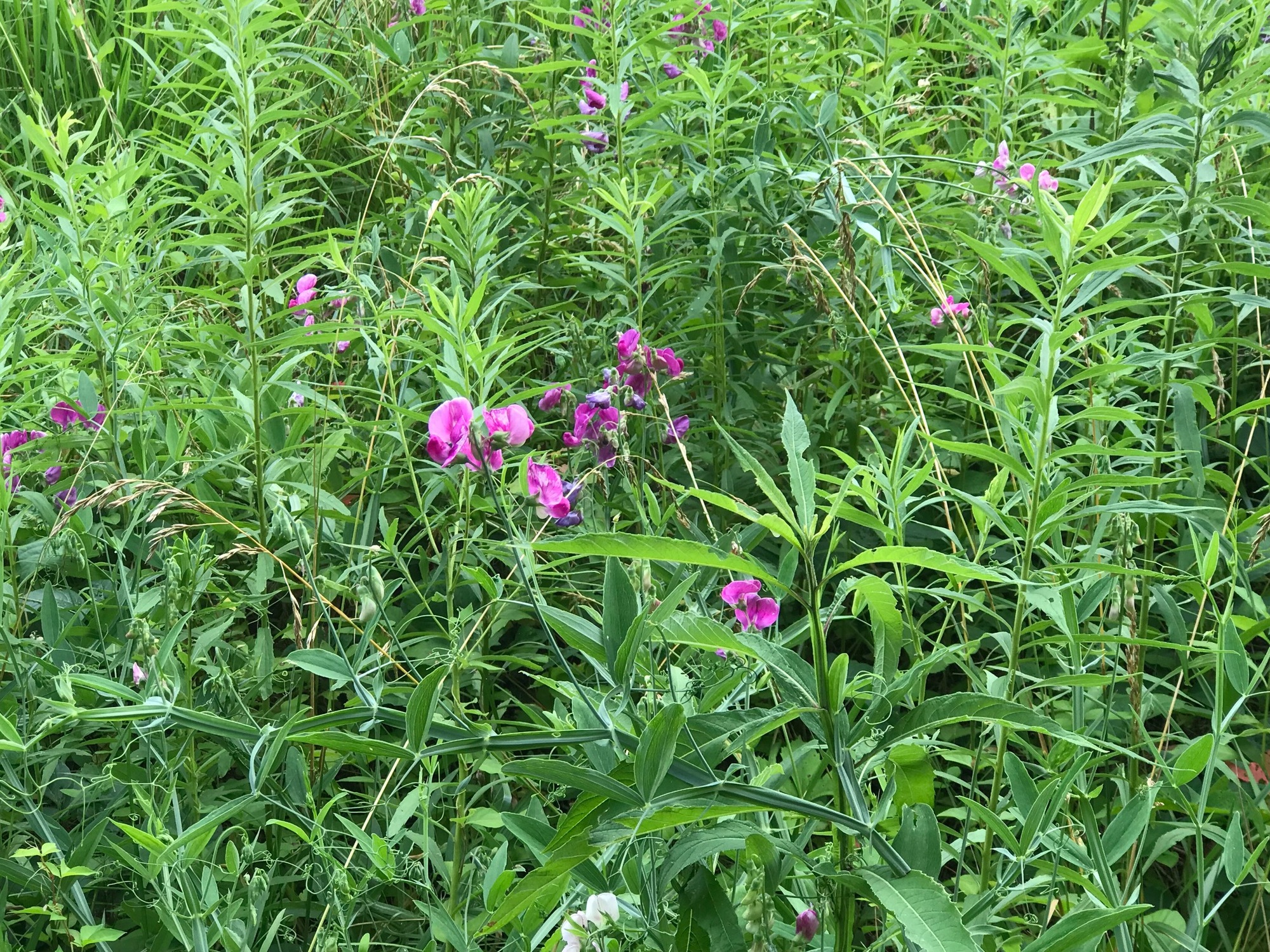
Within a short distance from the trailhead, we found ourselves in a river valley with mountains on either side. Several species of wildflowers and berry bushes line the trail in various spots. Within the first 3 miles or so, we passed EJ's Cottages and Camping, the first of many private and trailside lodging and camping possibilities along the GBT.
The little "town" of Clover Lick was next. It consists of a few houses and a nicely restored train station building. I mention Clover Lick because most guide sources seem to point it out. We stopped briefly and took a few photos before continuing on.
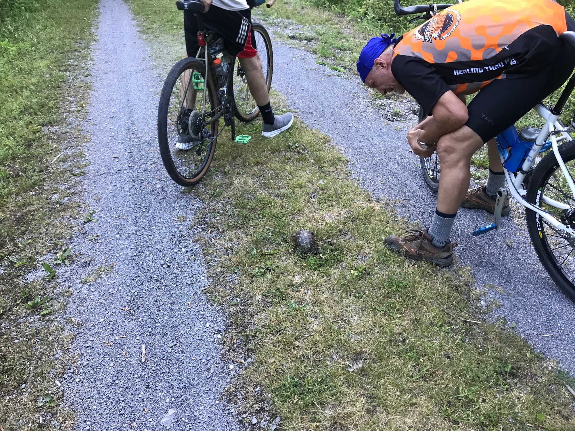
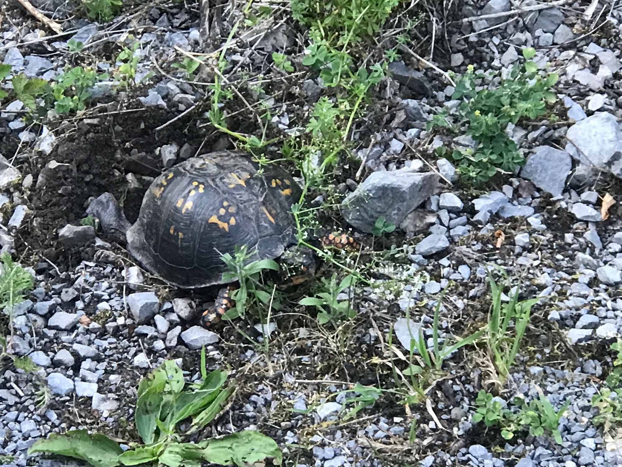
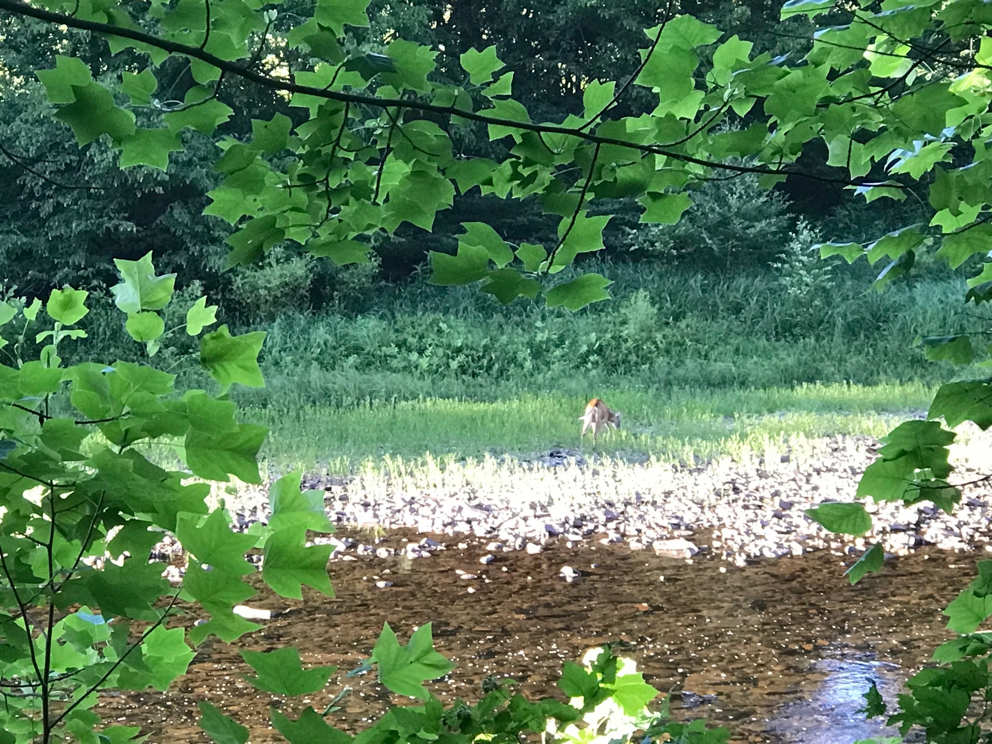
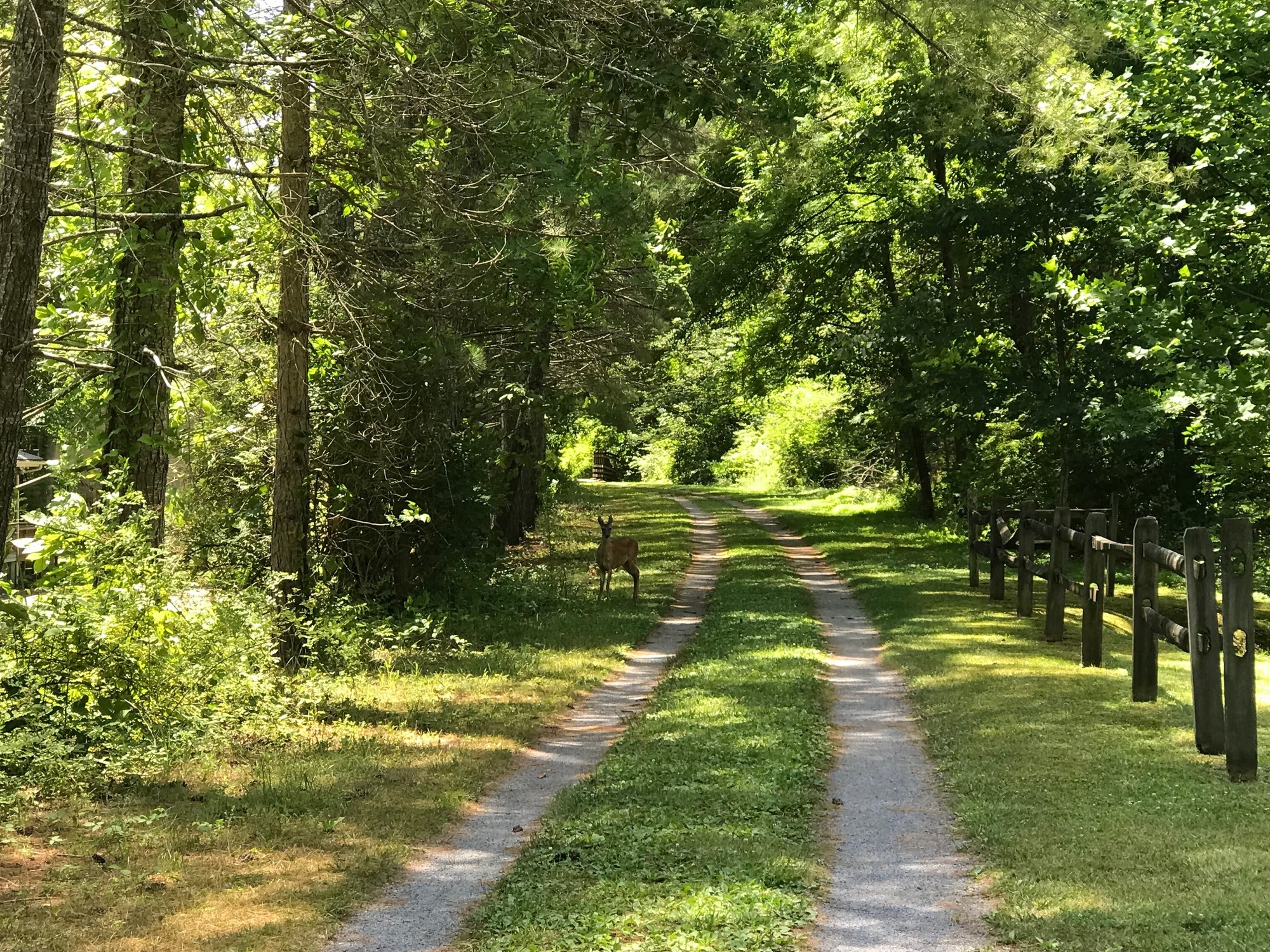
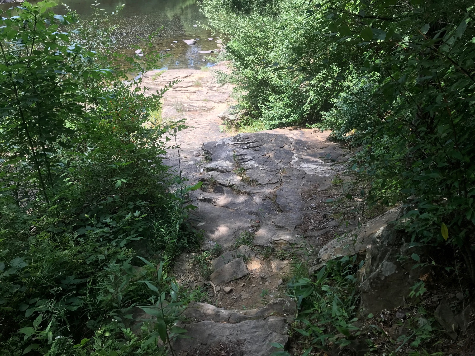
The GBT rolls on through wooded valleys, past more wildflowers, a few wooden bridges, the ever-present Greenbrier River, and some wildlife. If you're lucky, you might even see a snake or a bear. I didn't see either on this trip but there are enough stories to verify that bear are around. Tim and Anthony saw a black snake. All of us saw several female turtles digging holes alongside and in the middle of the trail. They lay their eggs in those holes. As if those hatchlings do not have a tough enough time surviving their first few hours on earth, they have to avoid being run over by the bicycle tires of unsuspecting cyclists. We did direct a maintenance truck to avoid two turtles who were actively digging holes.
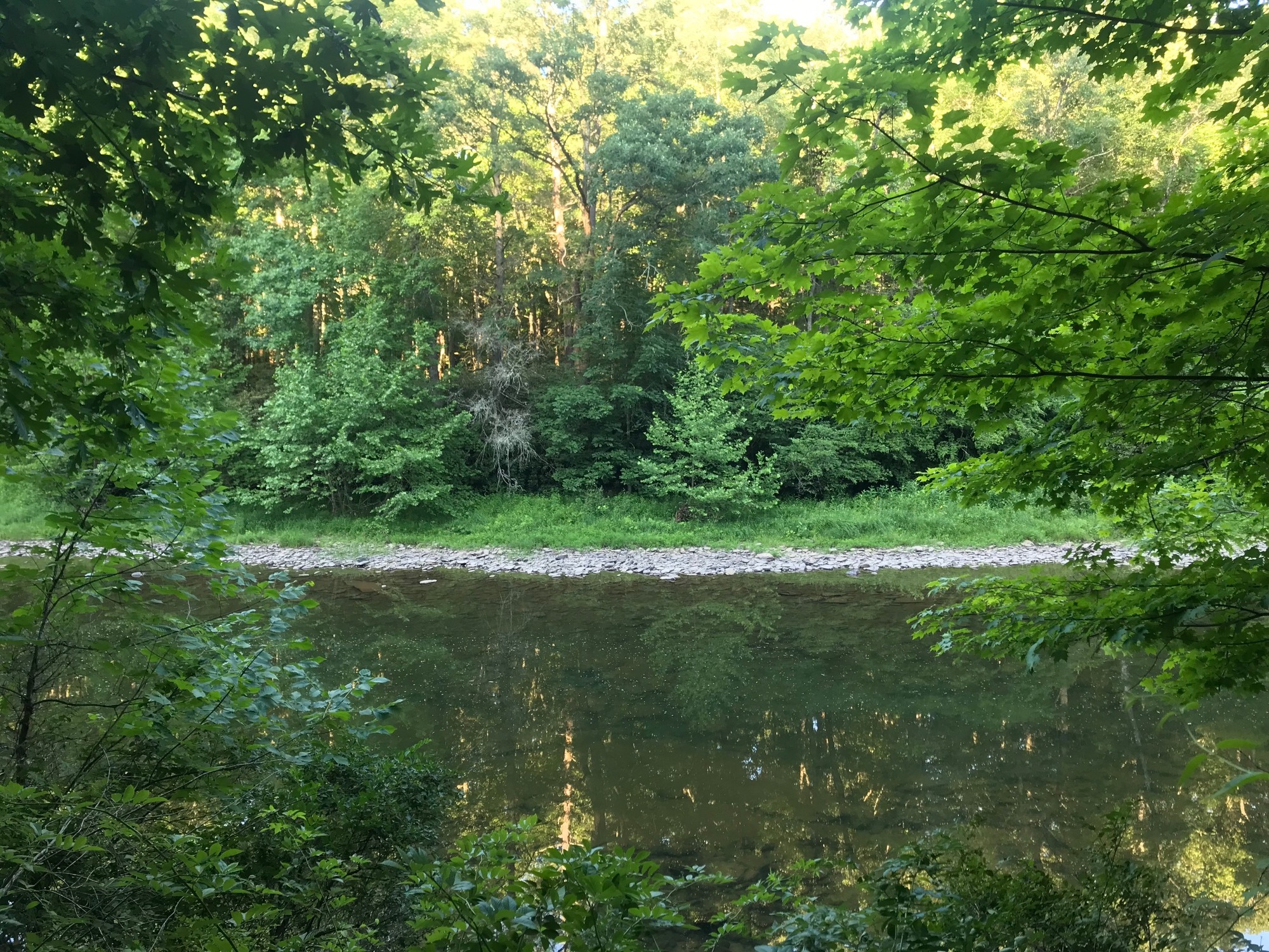
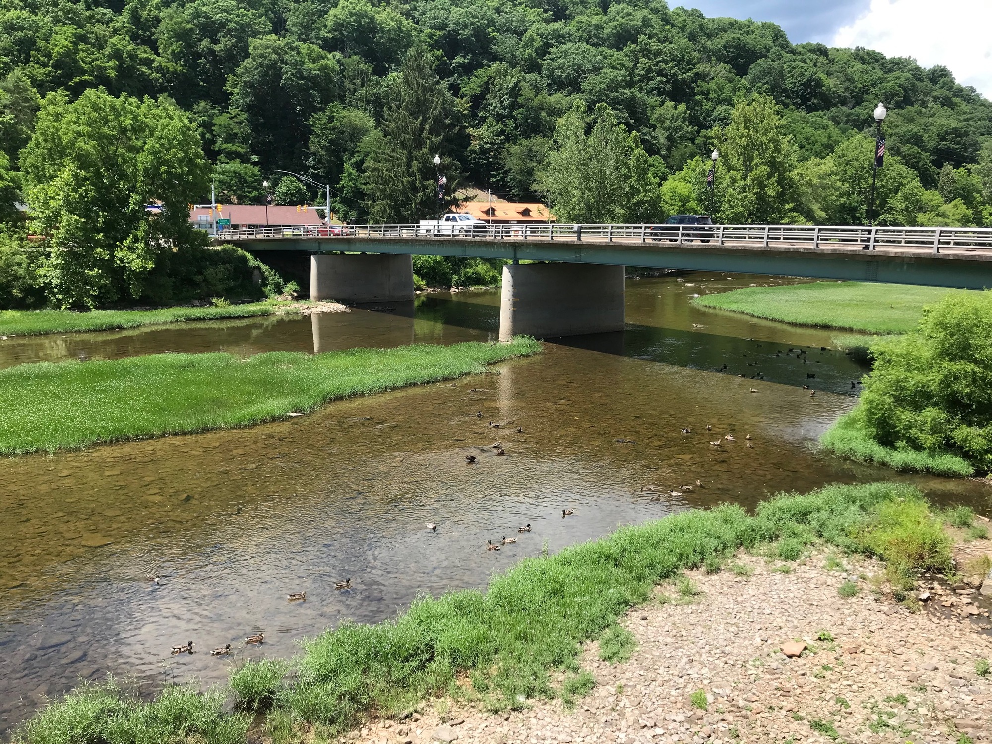
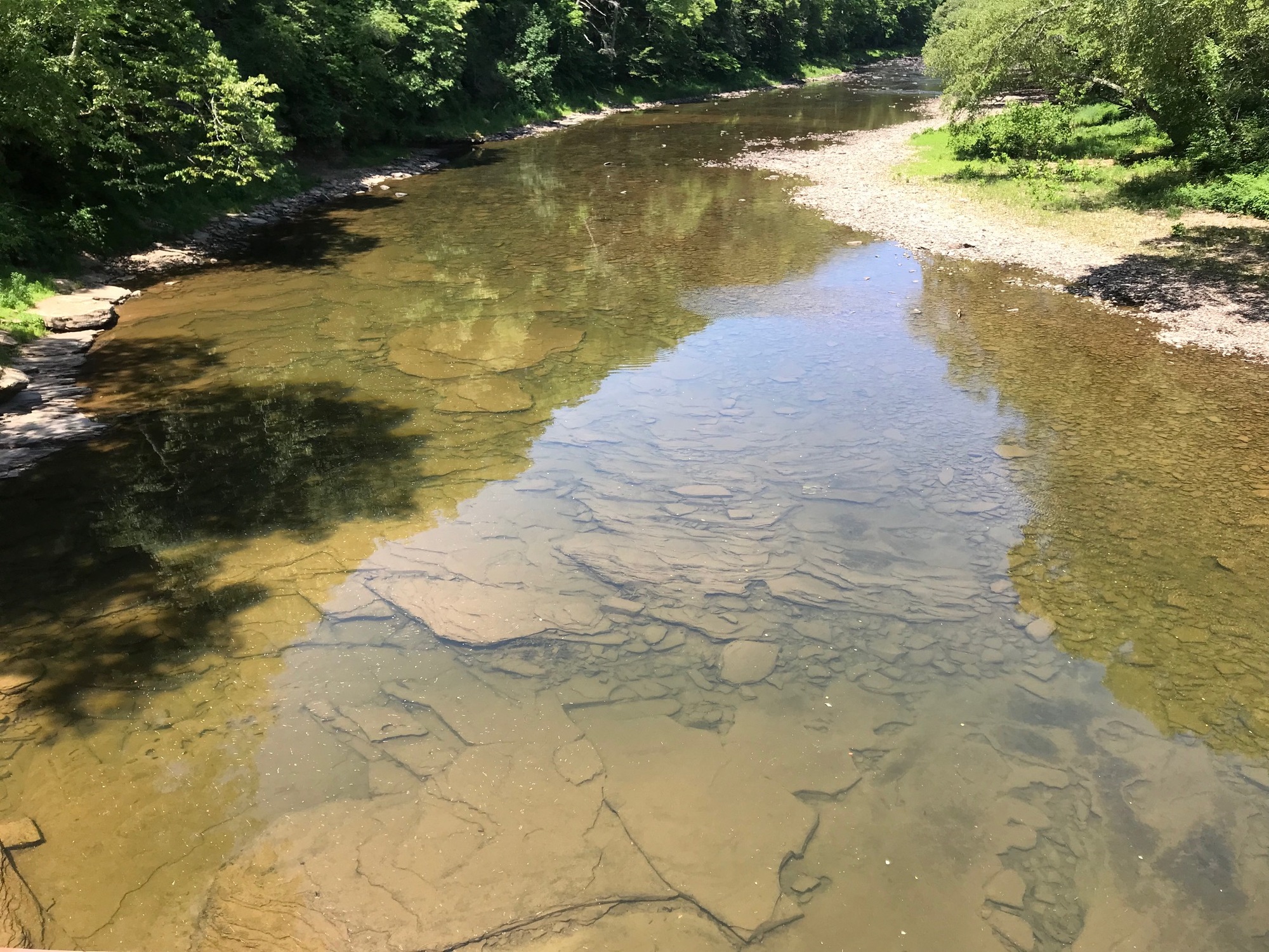
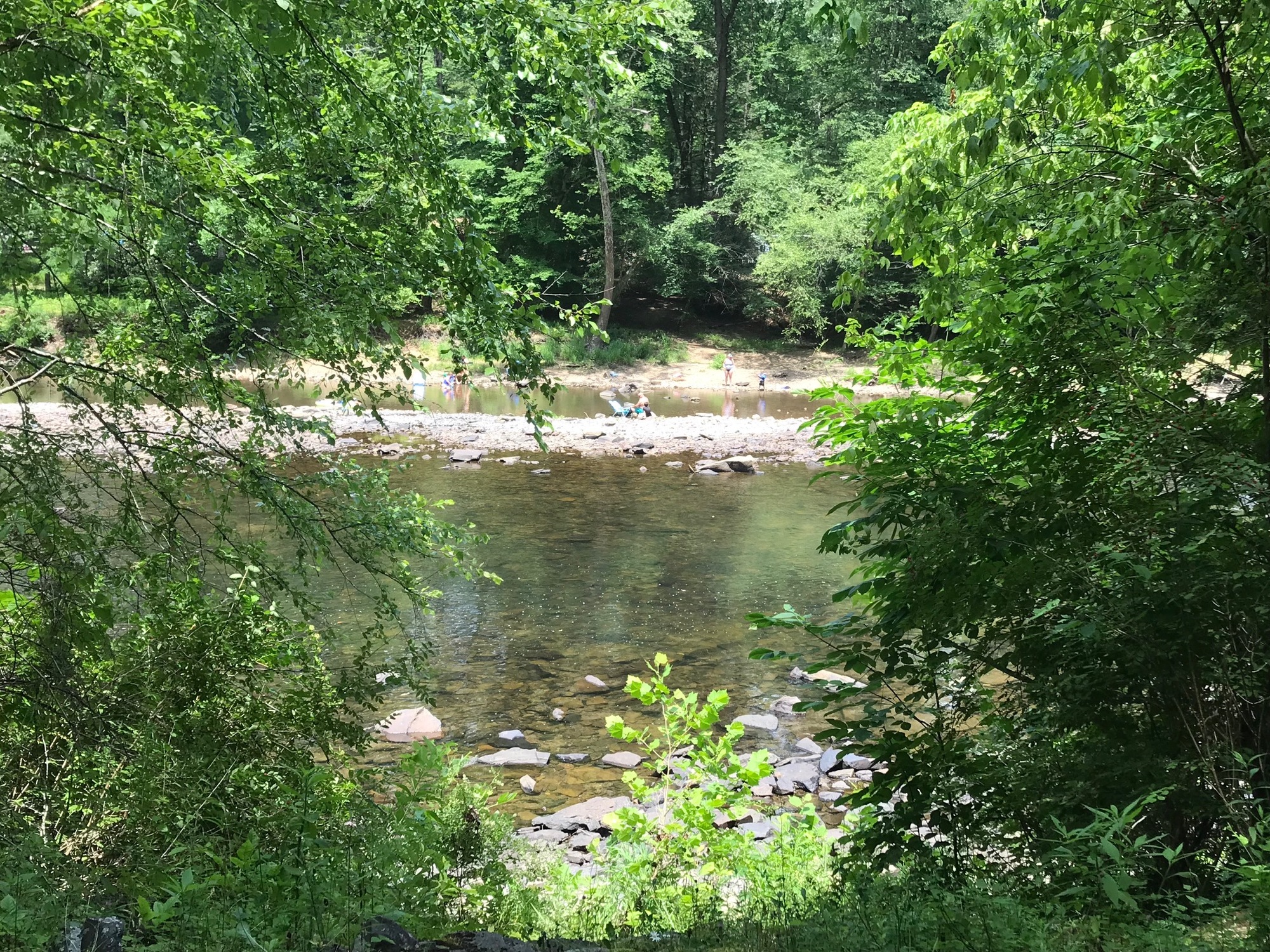
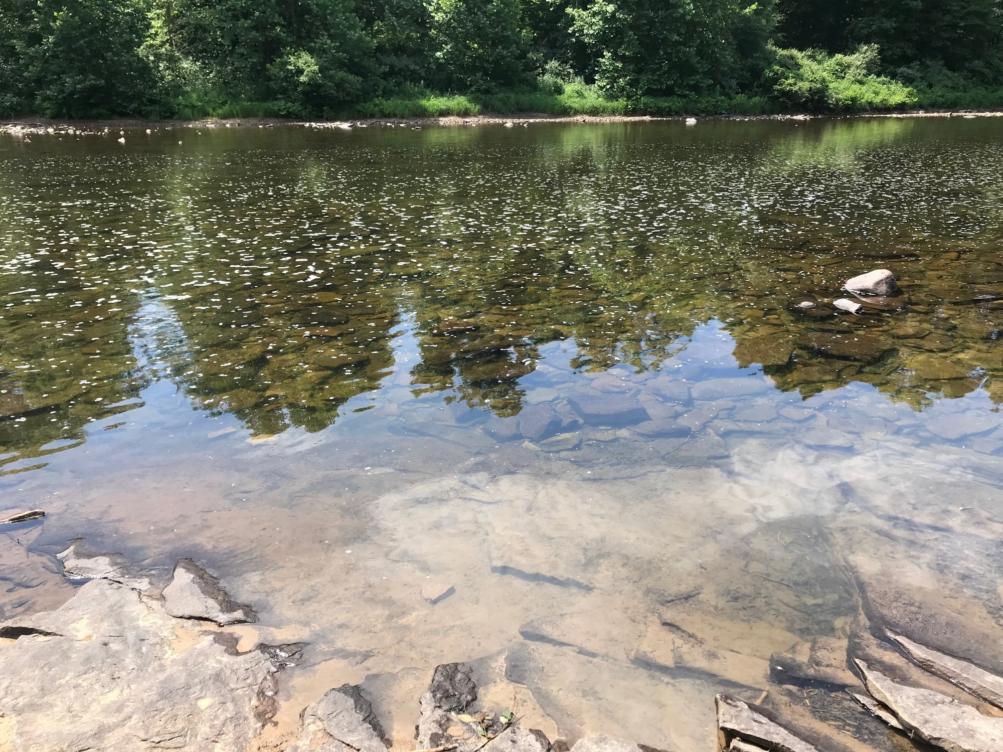
The Greenbrier River. I swam in its warm and calm waters all three days.
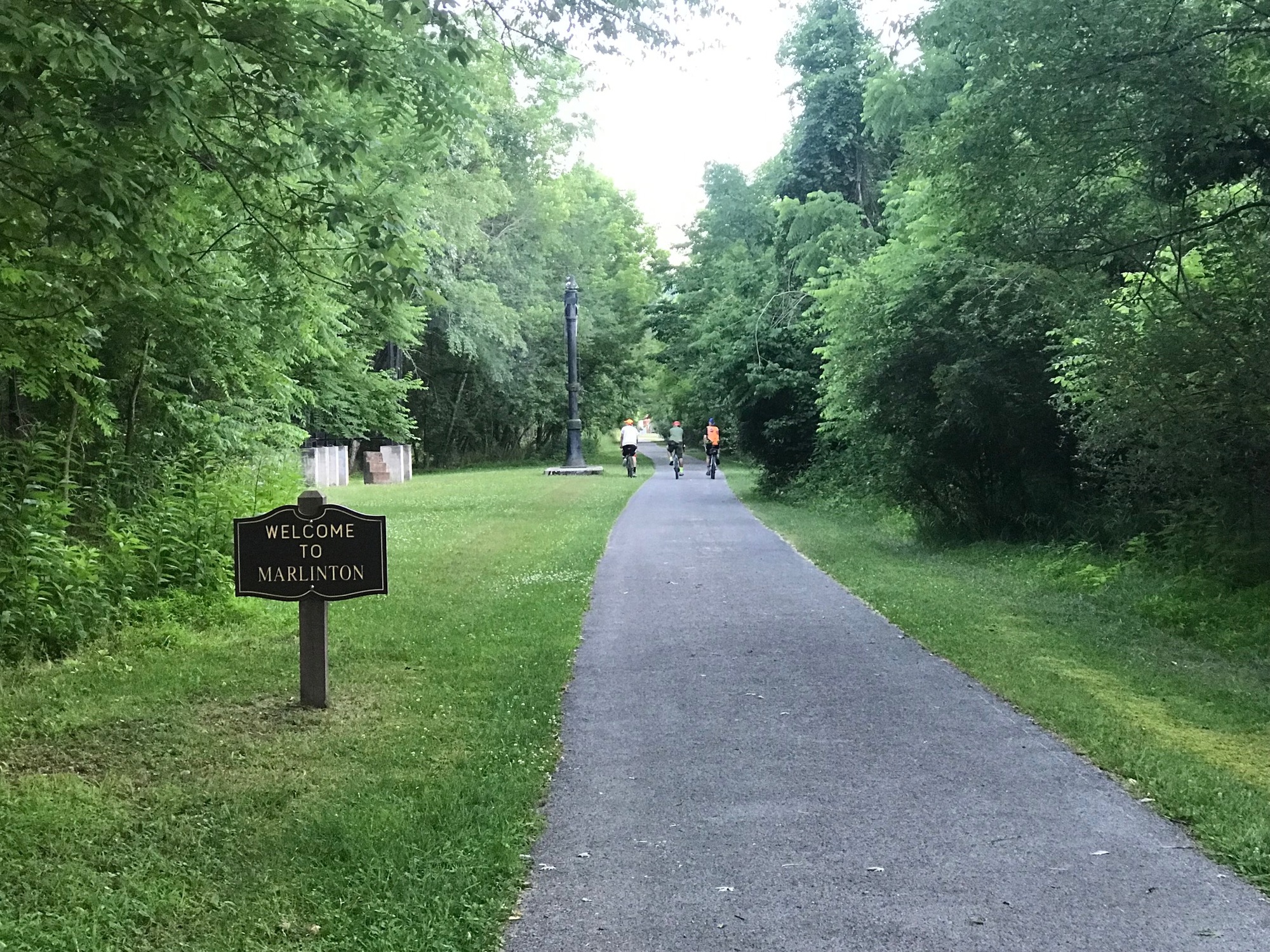
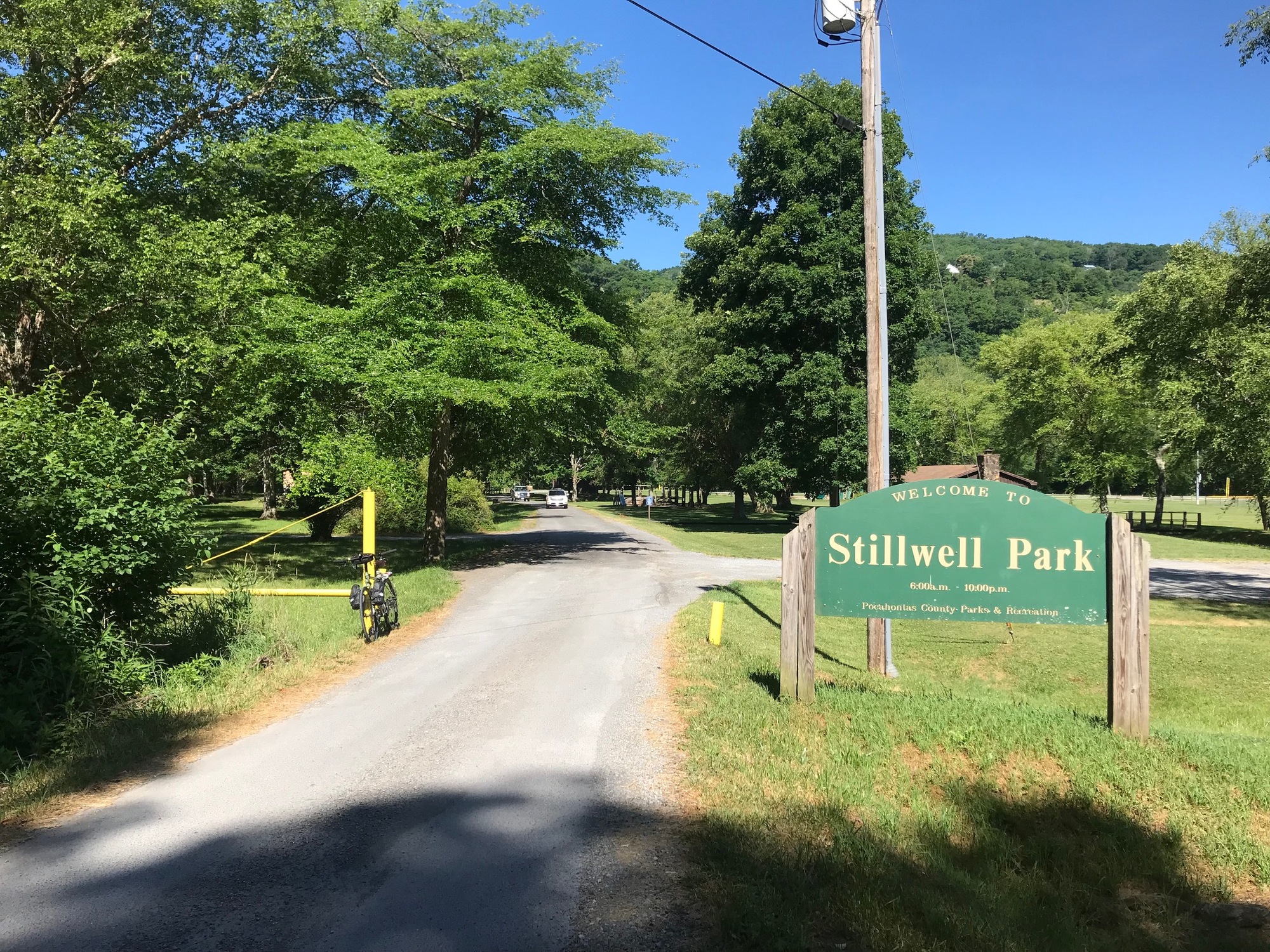
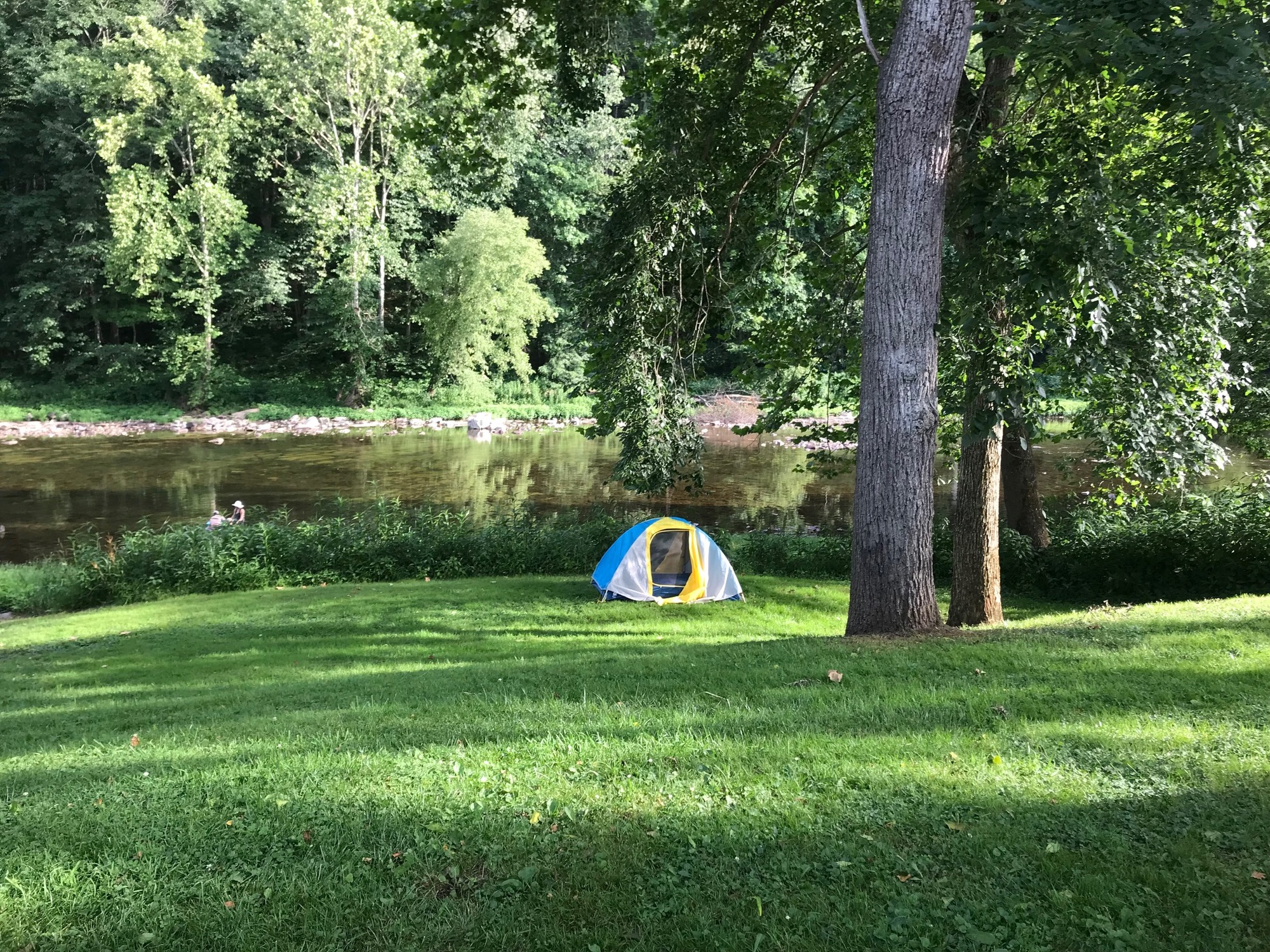
Eventually, we made it to Marlinton, where we looked around, dined at a local establishment, and stocked up on food before heading a couple of miles further down to Stillwell Park. There, at a large gazebo, we set up our camp for the evening. Since there was a clear sky and no ambient light, after nightfall we were treated to a tremendous array of stars.
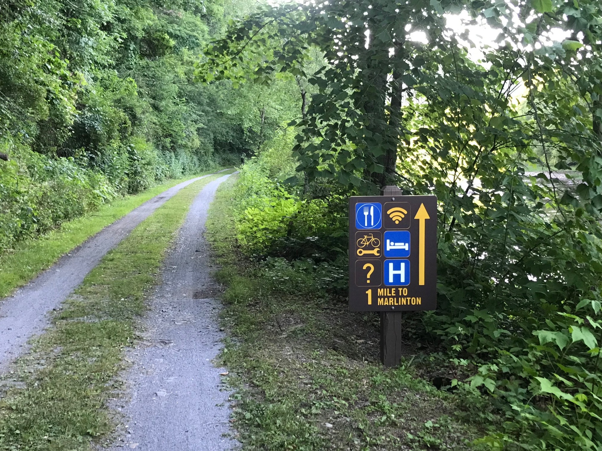
GBT signage on the approach to Marlinton, West Virginia.
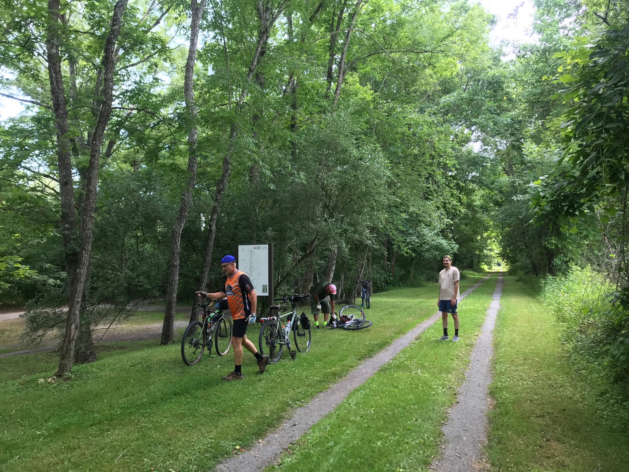
On the following morning, we headed back to Marlinton because Phillip needed a new battery for his gear-shifting apparatus. Greenbrier Bikes opened at 9:00 AM. As it turned out, Anthony needed a few things, and I needed a new chain. The owner and mechanic cheerfully performed all of the repairs at very reasonable prices. The town of Marlinton is a good place to stop when riding the GBT. It is a pleasant small town that seems to have the essentials for passing trail users.
Anthony getting ready to head out, as the Noon hour approaches.
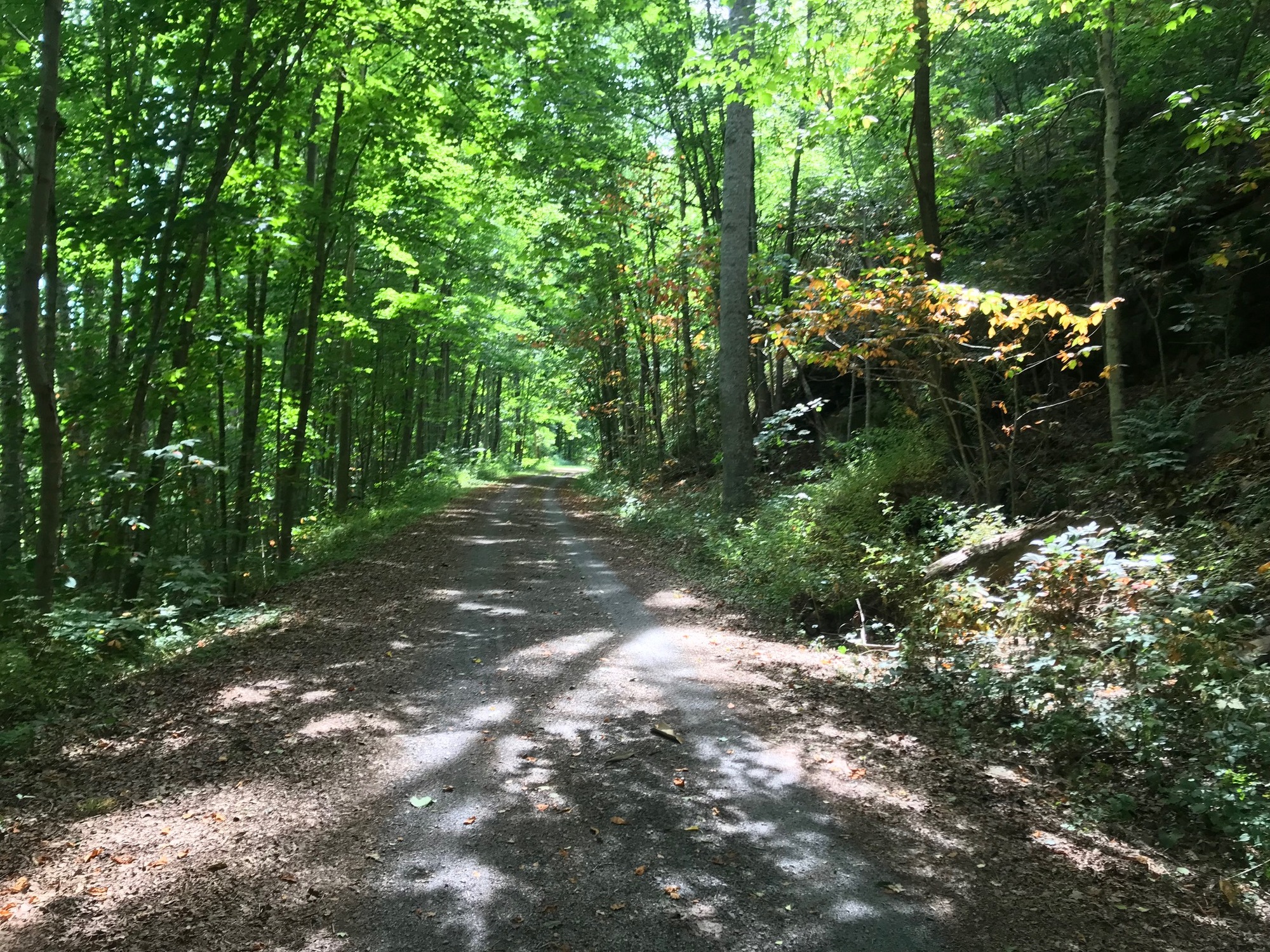
So, after the repairs, some coffee, and some lollygagging around town, we got a late start (11:20 AM) on our trail ride for the day (6/25/24). Since air temperatures were warmer than yesterday, it could be felt if in the direct sun. However, because most of the trail is lined with trees, their shade made things much cooler. The GBT continued to follow the river, which offered some beautiful vistas. There were some homes on the shores, more interesting flowers, occasional wildlife sightings, and a whole lot of peace and quiet. Although there were other trail users, they seemed to be very well spread out, so as to allow for riding alone most of the time. Most everyone met along the way was friendly. Around 16 miles from Marlinton, we stopped at a place called Jack Horner's Corner (JHC).
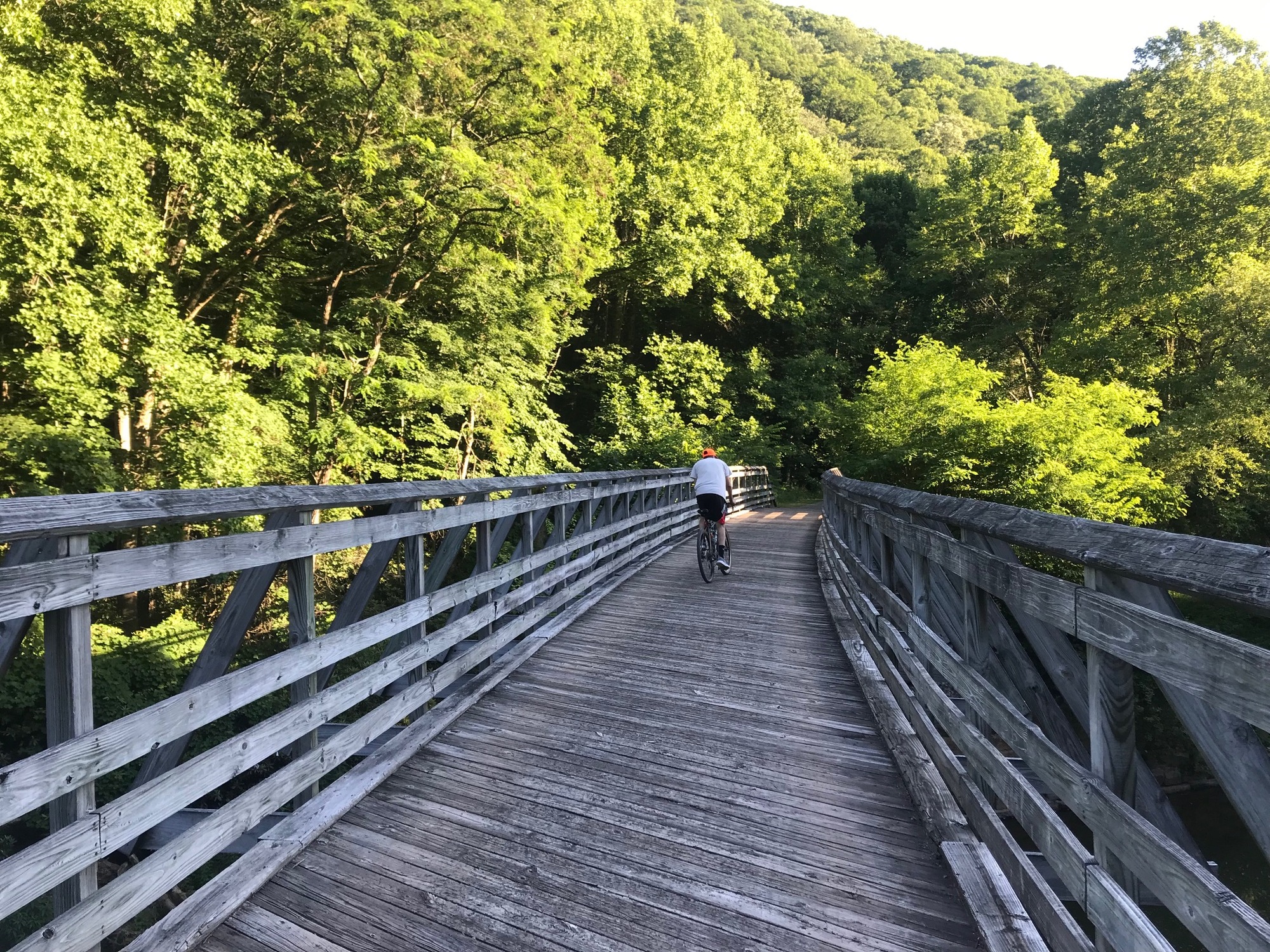
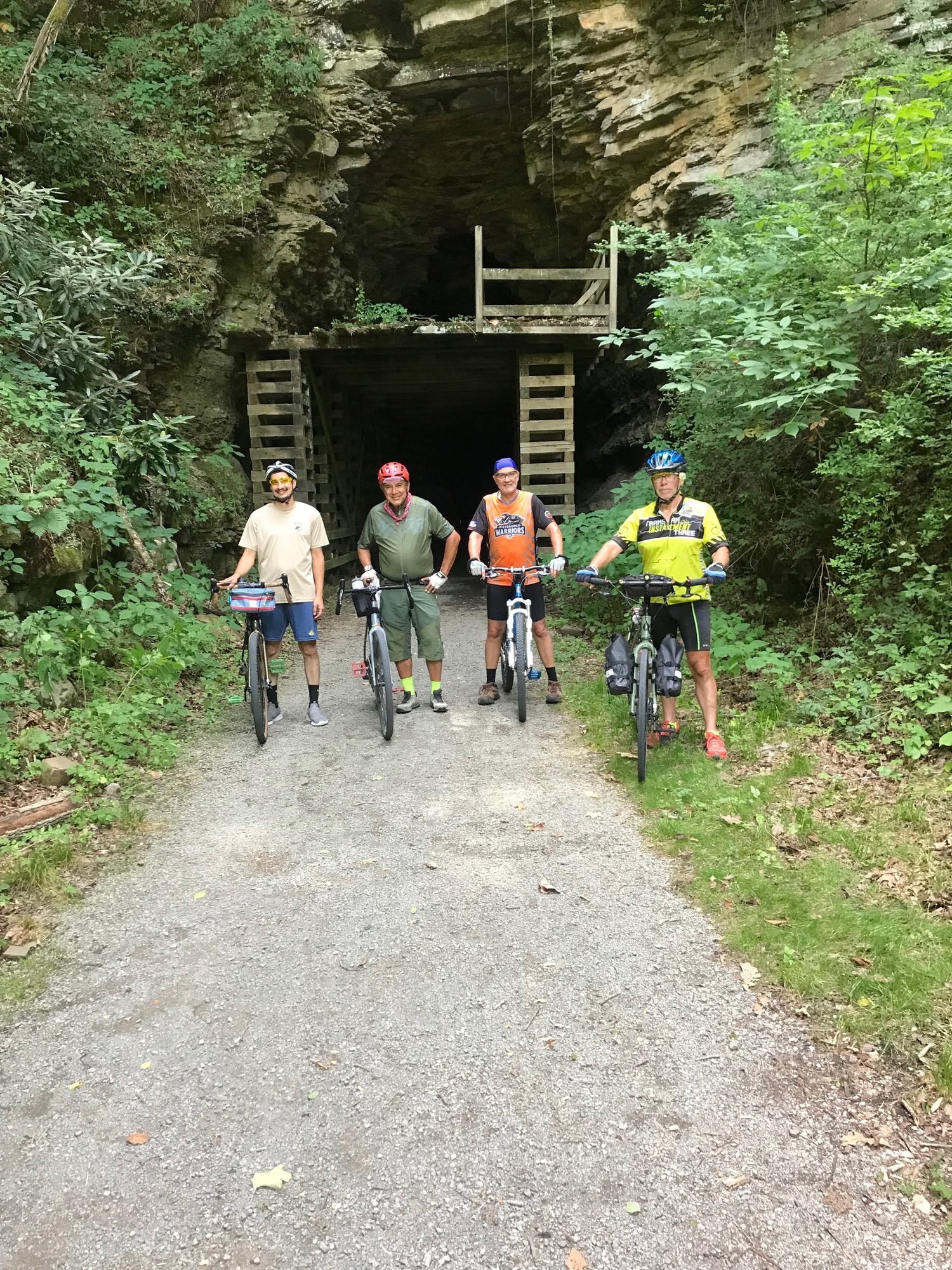
JHC had a restaurant, a gift shop, restrooms, and rentals of bicycles, and kayaks. We had a late lunch there and took a long break before moving on. Our goal was to get to Renick because it had a community park, with access to the river, where we would be allowed to camp. A highlight of the second half of the ride today was the Droop Mountain Tunnel (at milepost 31). This was the second tunnel we had seen on the trail, the first having been passed through at milepost 65. Inside most tunnels, the air temperature is considerably cooler than it is on the outside. For a humid day like today, that meant it felt great, like air conditioning.
People relaxing in the Cheat River, on the opposite shore.
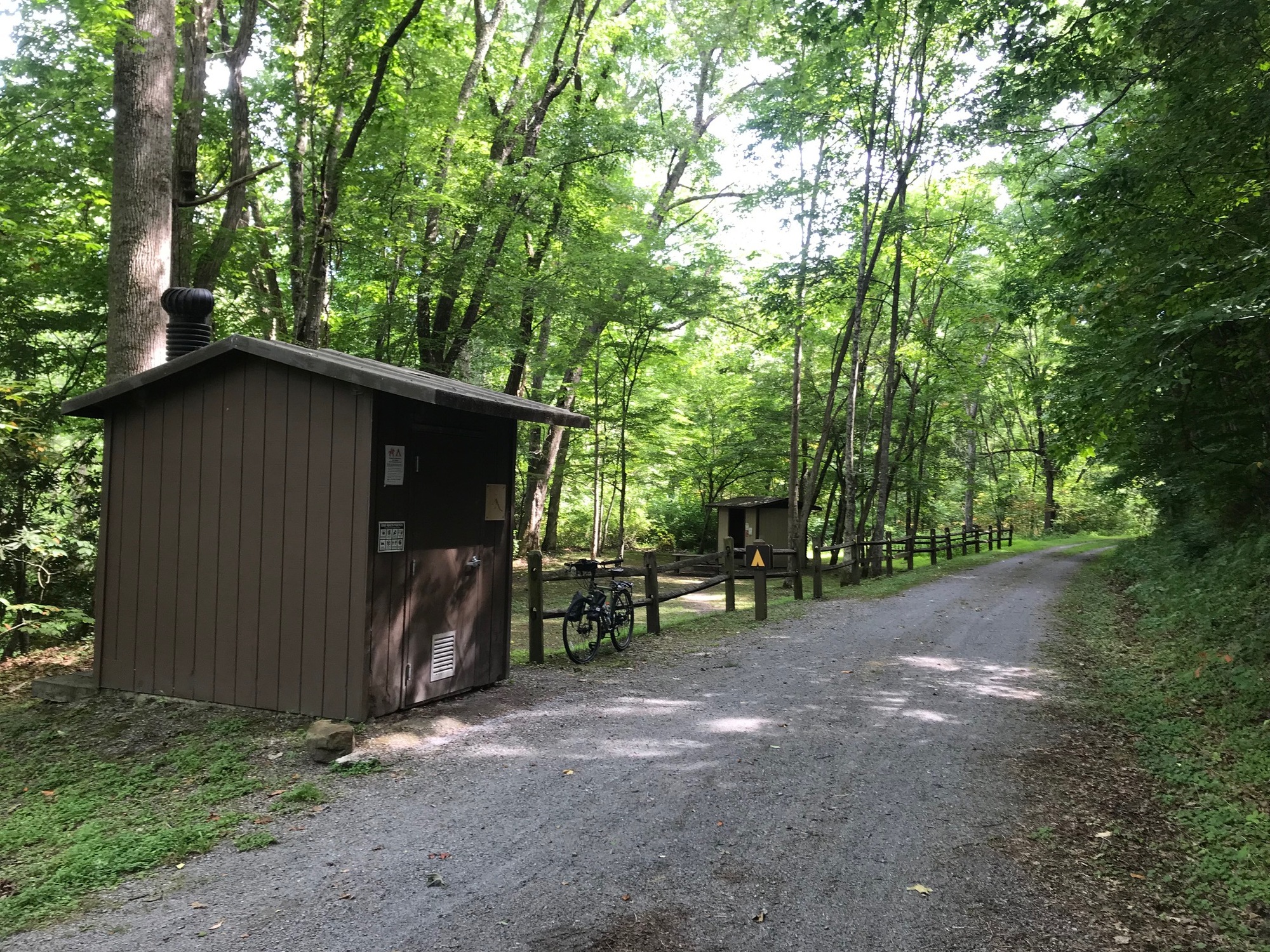
On the other side of the tunnel, the GBT remained mostly shaded and cool for the rest of our ride to Renick. There were several primitive trailside camping areas along the way. However, the idea that we would have better access to water at Renick was more attractive to us. The camping areas are very nice and there is a water pump.
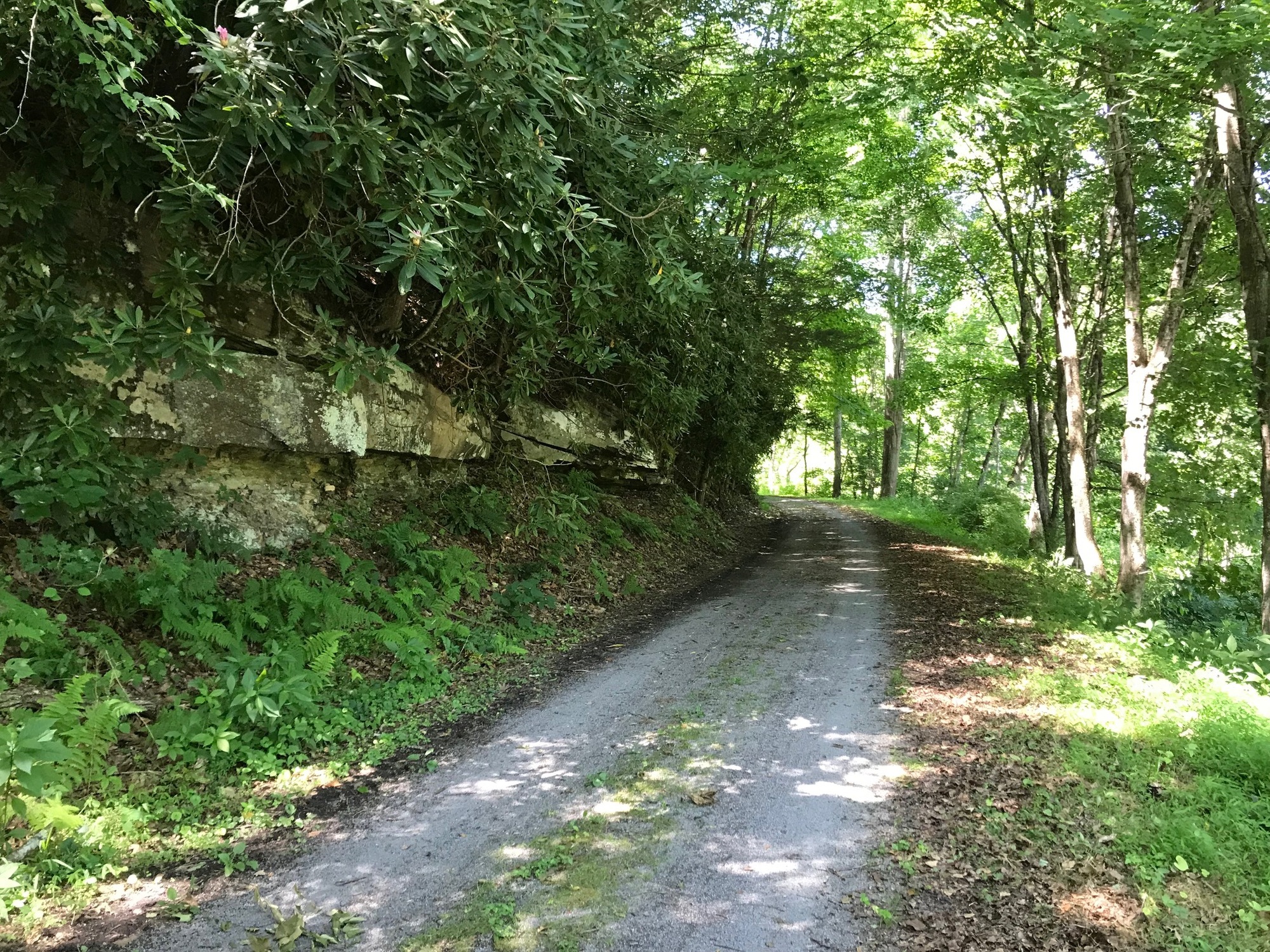
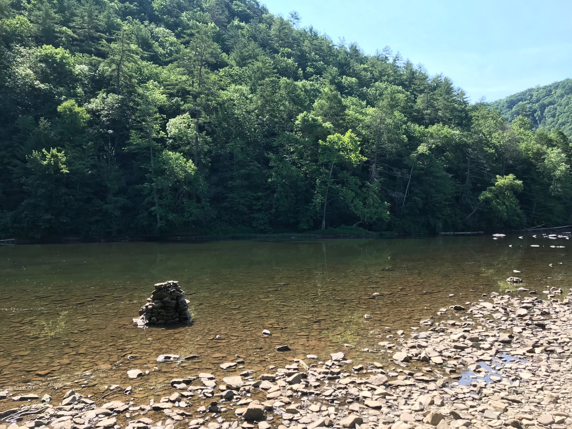
Primitive camping area along the GBT. The trail surface is a finer grade of limestone than what is used on the North Bend Trail. It is possible to ride the GBT with thinner tires.
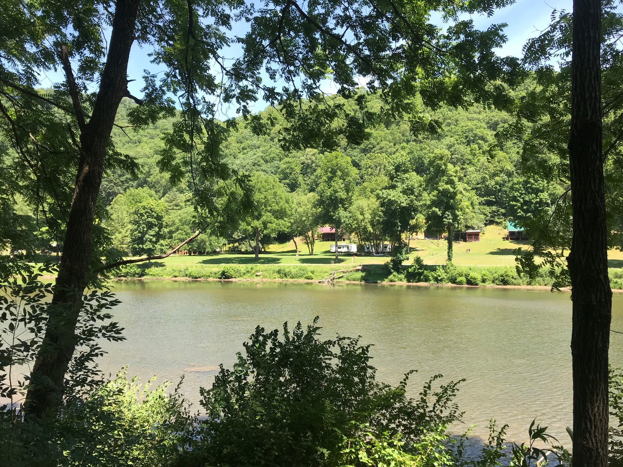
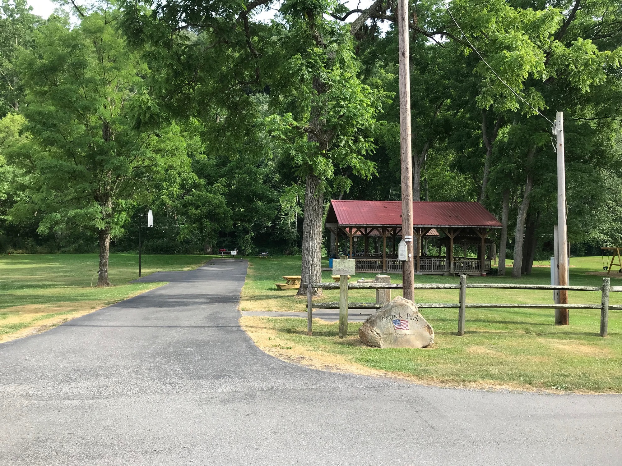
When we arrived at Renick Park, we pretty much had the whole place to ourselves. I took a nice long soak in the river and also rinsed out my cycling clothing. We had a nice quiet evening in the park.
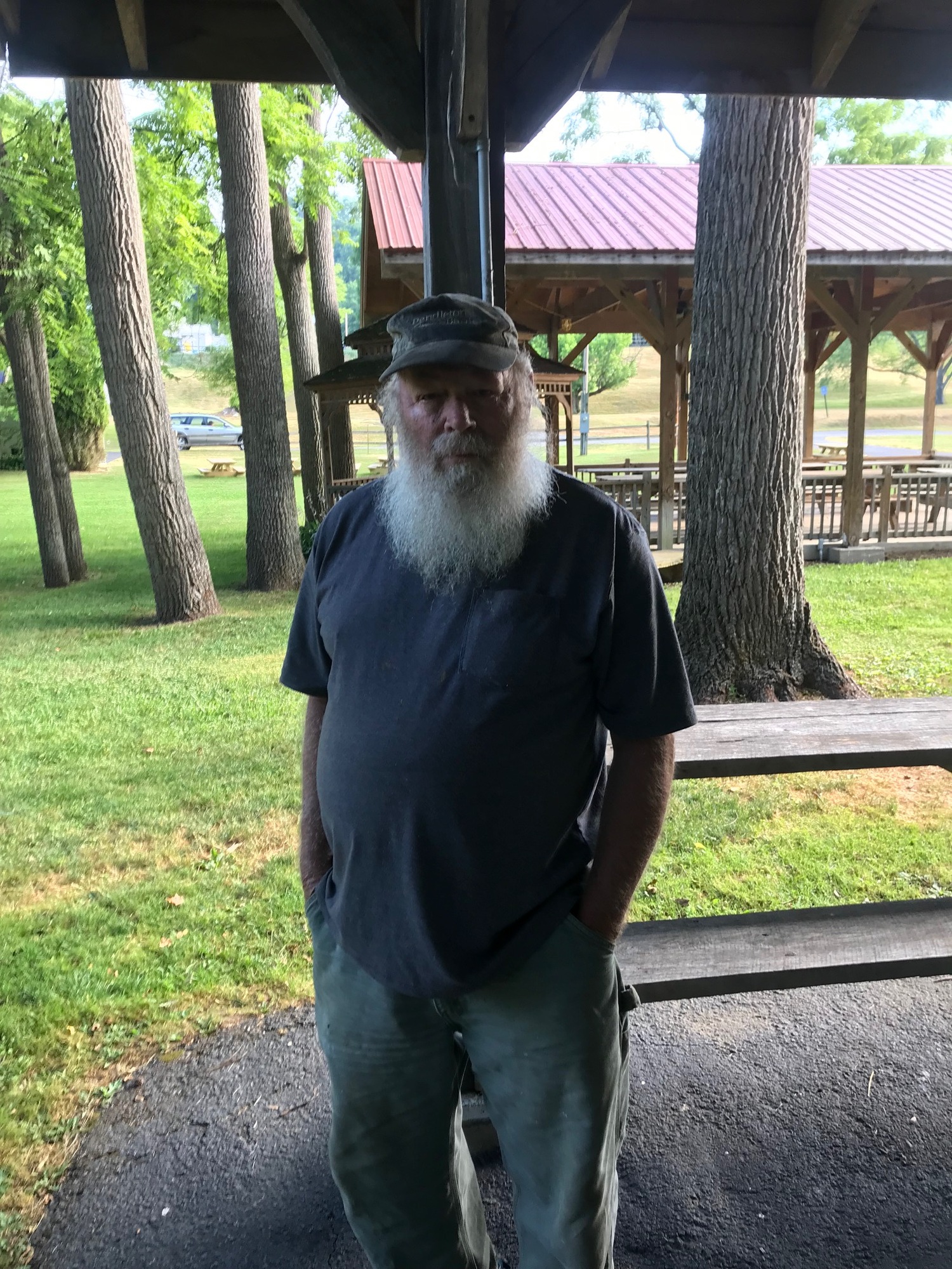
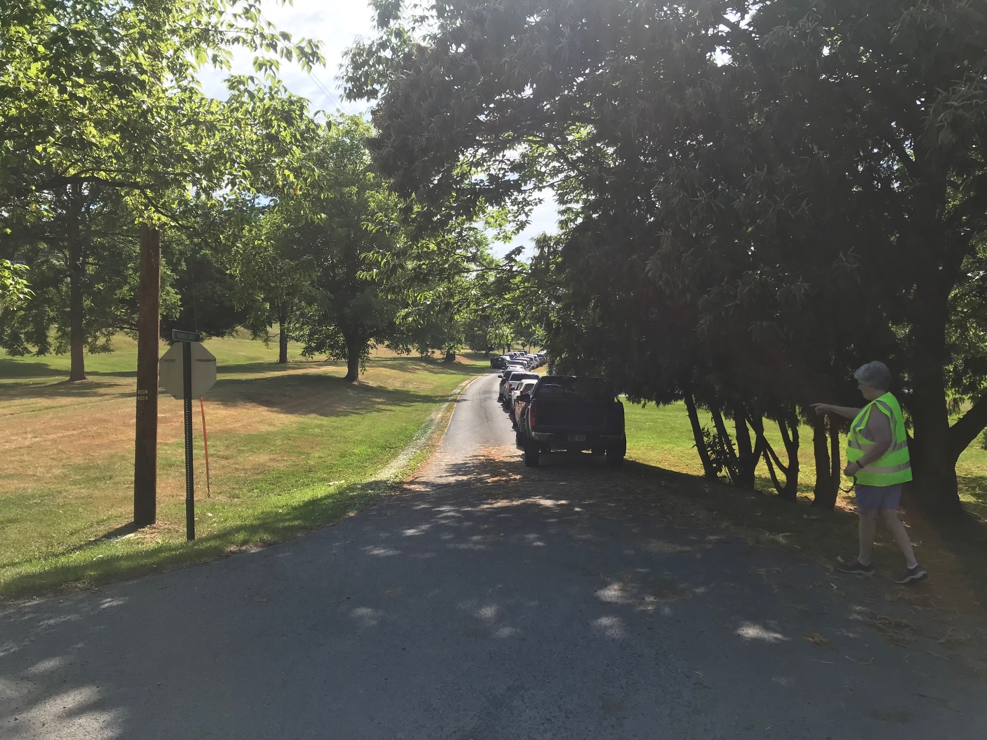
On 6/26/24, we awoke to a lineup of cars and pickup trucks on the park road. My initial thought was that workers had come and we would have to get out of there quickly. When a bearded fellow in work clothes walked up, I though we were going to be evicted. However, Jim-M turned out to be a very nice local fellow who was there, along with the other folks, to receive a package from a government food distribution truck that would be arriving around 10:00 AM.
Jim decided to come over and make our acquaintances this morning. I'm glad he did. He said that since there are already a lot of other photos of him out there somewhere, one more wouldn't make any difference.
Jim told me he was 75 years old and was from an area near Hillsboro, to the North. He worked 32 years for the highway department and was now retired. He and his wife have a large garden with 150 tomato plants, 75 pepper plants, a long row of bean stalks, along with cucumbers and pumpkins. They can most of the stuff and give a lot away too. He was knowledgeable about the area, telling me that the rattlesnakes seem to stay on the other side of the river. Bear, however, can be anywhere. I enjoyed talking with him and so did the other guys.
The nice lady who was directing vehicles lining up for the food distribution program at the park.
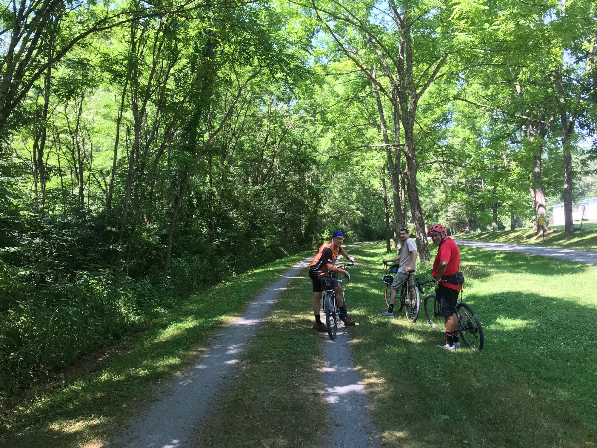
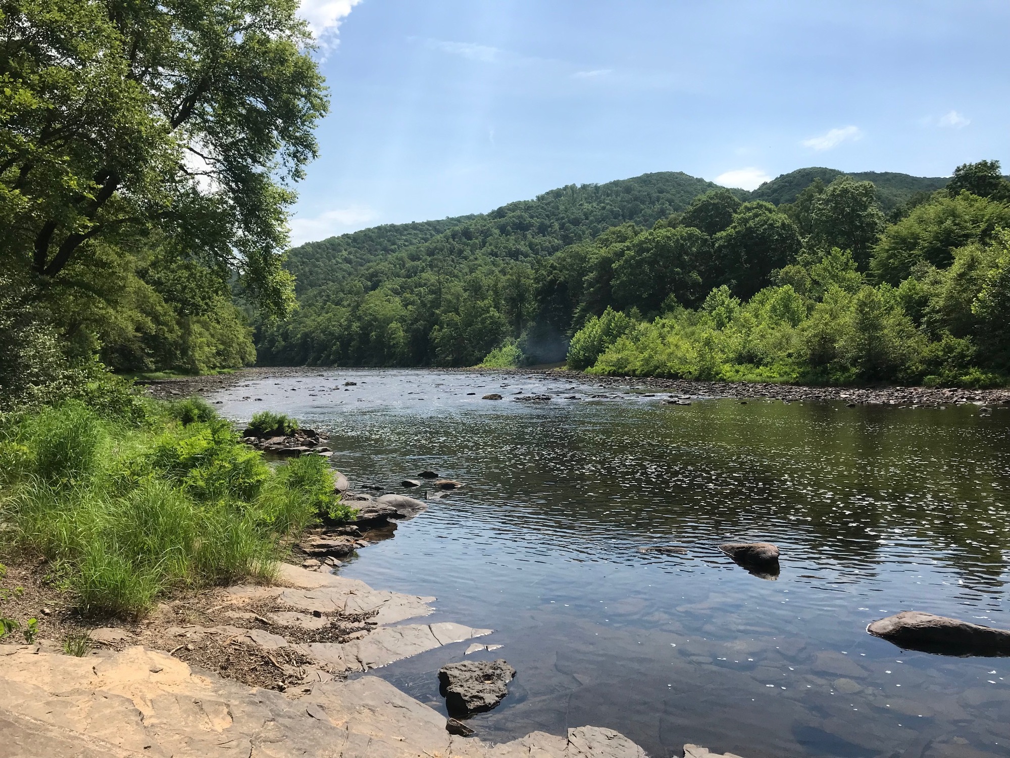
We pulled out after 9:00 AM because we talked with Jim and I made a light breakfast of coffee, oatmeal, granola, and cottage cheese for the guys. It wasn't equivalent to bacon, eggs, toast, and home fries but we didn't have all that far to go to finish up and find food. The trail continued with the same character that we had seen thus far. One exception was that there seemed to be more homes along the trail and more trail users. At a little town called Anthony (milepost 14.4), we met up with riders on a supported tour sponsored by Bike Virginia. We talked with a few of them and also checked out the river briefly before continuing on.
The Greenbrier River, near Anthony, West Virginia.
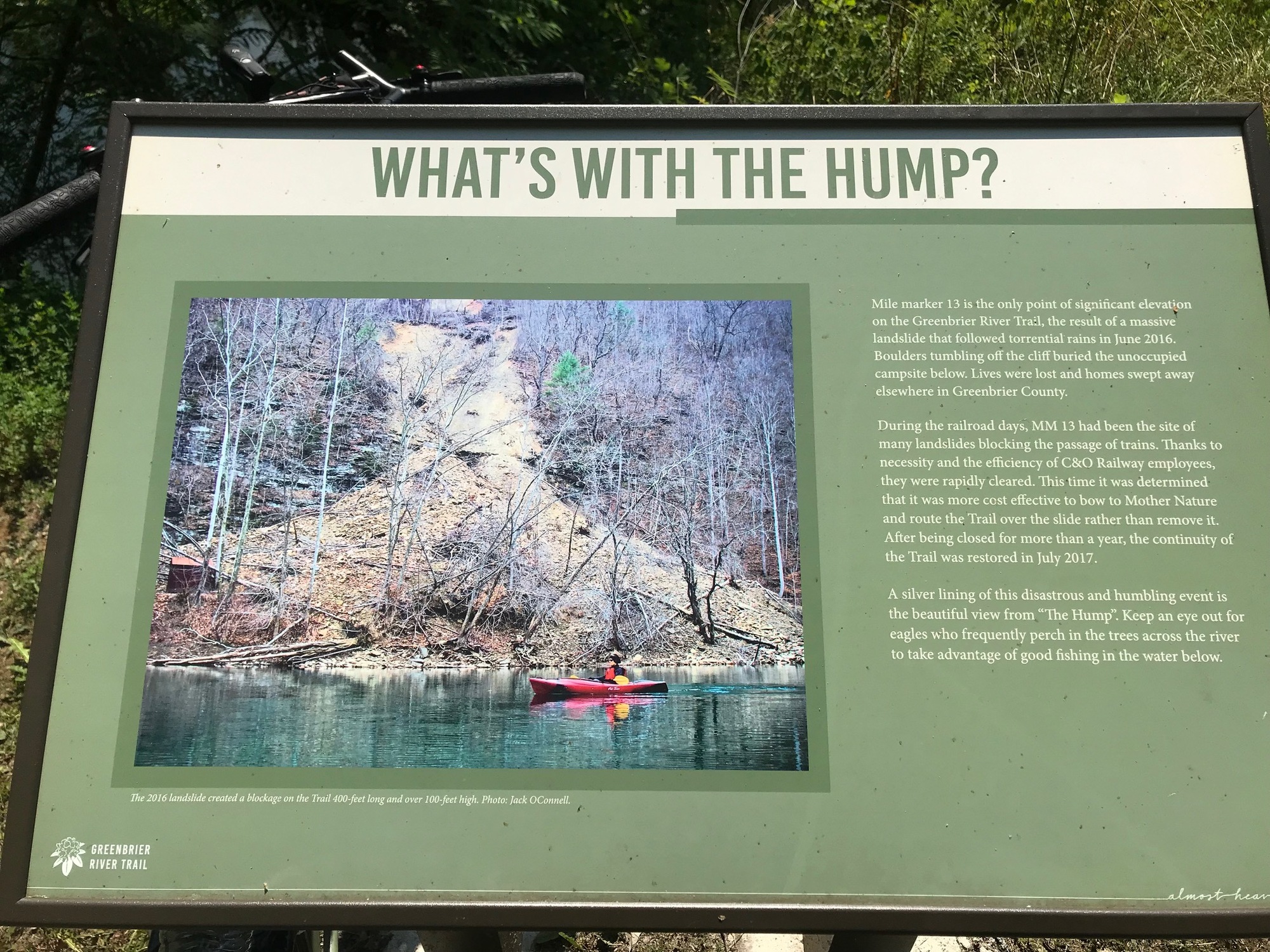
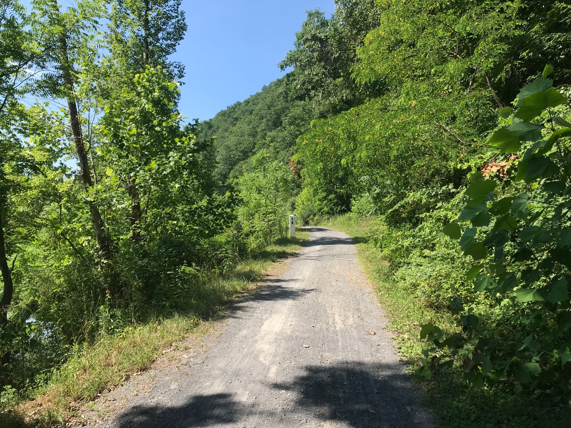
At milepost 13, there is a feature called The Hump. Apparently, after a large landslide, it was decided to simply make a hump in the trail instead of clearing all of the debris. The Hump is one of the only places where a rider will have to do any climbing on the trail. It really isn't bad at all but I would say that if coming from the South, a rider would do more climbing than if coming from the North. But what's one little hill among friends?
Around milepost 6, I was sweating pretty good and took a swim in the river to cool off. It was refreshing and made the final few miles a bit cooler. My cycling clothes dried fairly quickly.
All good things must eventually come to an end and this trail did end for us near milepost 3, at Caldwell, West Virginia. There are two parking lots that both seemed to have quite a few vehicles in them. Since this part of the trail is close to the bigger town of Lewisburg, more people are around and drive over to use the trail. A thunderstorm was approaching but we got everything loaded up and were inside before the storm hit. It brought quite a bit of rain, for a short time but we counted ourselves fortunate to have had three (3) dry day of riding and two (2) dry nights of camping.
My last swimming spot in the Greenbrier River, near milepost 6 on the GBT.
Anthony went back to his home, which was about an hour away. Tim, Phillip and I went into Lewisburg, where we had indoor lodging reserved. It felt good to get properly cleaned up. Lewisburg bills itself as the coolest small town in West Virginia. It is a tidy town with some activity going on. There is an Osteopathic Medical College in town. I had a nice conversation with a new medical resident who was in his scrubs and in town for orientation before beginning his residency on 1 July. He was curious about the GBT so I told him a bit about it and recommended that he get a bike and check it out in his spare time. Medical Residents don't have much spare time but an occasional bike ride can help to dissipate some stress that will eventually happen. Having a stress release outlet is essential when those times arrive.
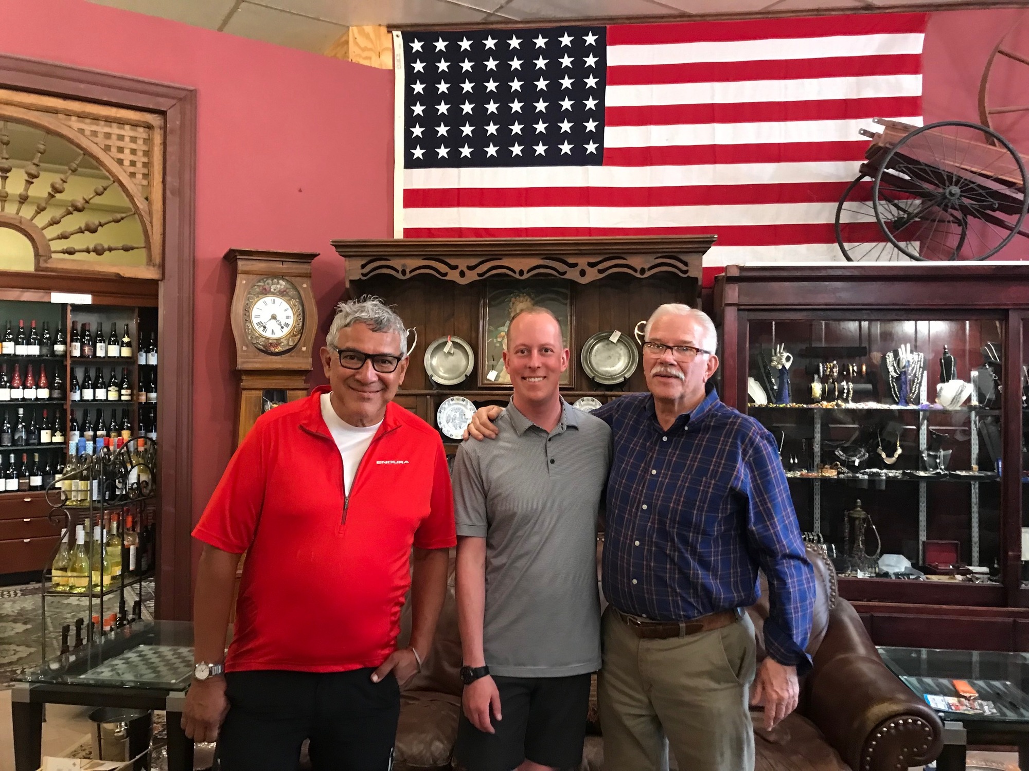
There are also several nice eateries, a coffee shop, and a place called Robert's, which sells specialty beers, wines, and various collectibles. There was a bearskin rug for sale in the back of the store. I was tempted to buy it. We spent a few minutes talking to Robert and his father, who is retired but comes into the store to hang out and talk with customers. He was one of the many good characters I've met while doing this Mountain State Tour.
Phillip (left) with Robert and his father, inside Robert's establishment, in Lewisburg, West Virginia. This is a cool place that should be visited if in town.
Now that I have done the whole thing, I can confirm that the GBT is a great trail that should be ridden if one is going to be anywhere near the area. Be sure to take a little time to explore Lewisburg too. If your road tolerance is good, the ride is about 4 miles from Caldwell. Some of it is uphill on US-60, which has a shoulder.
As a lady who relocated there told us, Lewisburg is a neat place where one might have to do whatever it takes (honestly and ethically) to make a living and remain there. That is what she has been doing for the past 15 years or so. She seemed very happy and we enjoyed hearing about her time and experiences while hanging on to her place in this community. When we saw her again, she was working hard, delivering farm freshly grown produce to various establishments in town. We wished her well. I'm sure she will be continue to thrive.