July 12, 2023
Day 6 Bike: Land of Smiles
You got a lot to be smilin' for, so what the f- you wilin' for?
I get my grin on I'm smiling 'cause I always get my win on. (Lil Duval)
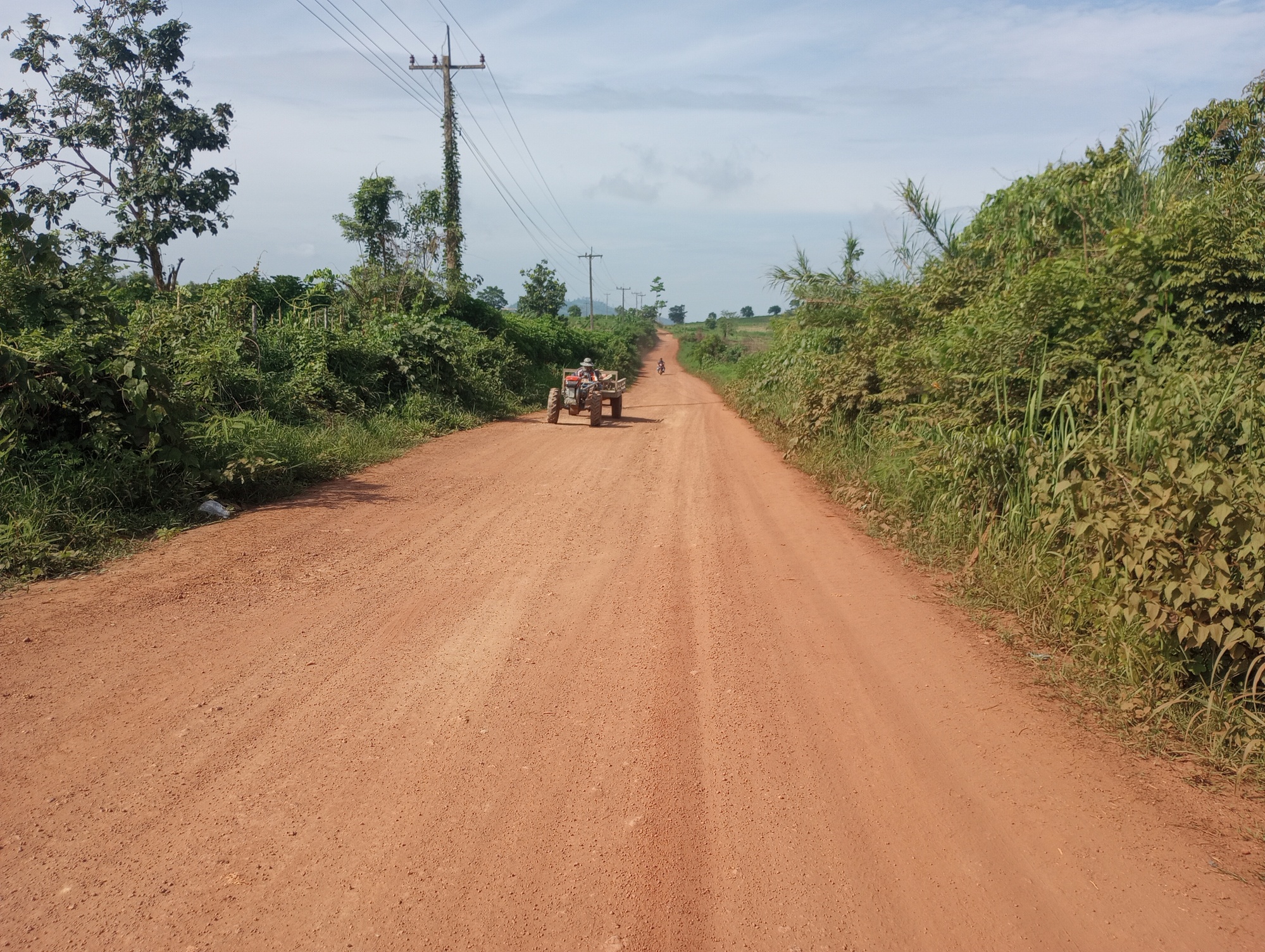
The enthusiastic greetings and the killer rough road continued today. There was maybe a few hundred meters of respite as the road was smooth in the town itself but then it went back to insanity.
The local reactions and the soundtrack I had going made the perfect combination to act as a reward for the road. It was a surreal experience to say the least.
I managed to leave before 8am which was super early but there was no way to know the road conditions so the earlier the better. All along I hadn't a clue what was happening and so was flying blind essentially. It reminded me of the fitness classes I do where the best ones are we haven't a clue what the workout is ahead of time. If you know what you're in for then you bail. But at this point I had put myself in a position where bailing was impossible and the only way was forward.

| Heart | 0 | Comment | 0 | Link |
At one point I passed three tractors and had Beyonce going on the headphones. Talk about surreal. If there was a large group of locals at a village I'd take out a headphone and start greeing people. It is very likely I was the only one they would see on a bike.
As for how this route came about I honestly had no idea. It looked like a direct alternative route from Kasi to the Thai border and not repeating Vang Vieng again. This is from the perspective of Google Maps but we all know how unreliable that can be. Even so there was likely no other road that could go this direction. Once I started on it I couldn't stop.

| Heart | 0 | Comment | 0 | Link |

| Heart | 1 | Comment | 0 | Link |
By this point I had lost count of how many people had given me stuff, it was incredible the kindness of the locals. That sticky rice later came to save the day as there was virtually no other food stops to be found.
As a point of reference if anyone else is mad enough to try this route (literally the town midway is called Mad District) you'll want to stock up. The only place I found is in the Muang Gi town where I stayed the night and that is right beside the guesthouse.
The total distance on this route is about 150km and at least 120km is all rough dirt. It did a number on my bike for sure and will need to get some maintenance done at the soonest opportunity. You'll definitely need a kickass mountain bike for this, there are no other options.

| Heart | 1 | Comment | 0 | Link |
There was a massive black cloud looming and it could only mean one thing. There was no avoiding this so I took shelter, first in a type of hut used by farmers, and next in a garage. This rain was not going to stop anytime soon. That part in itself was fine, but the road condition had me worried.
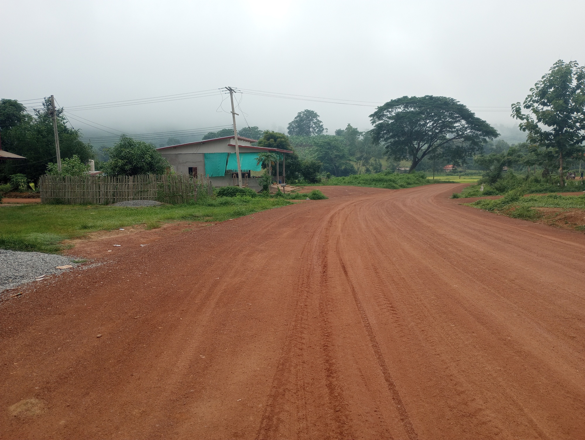
Thankfully, the dirt road had morped into a more gravelly type that didn't generate mud. It seems the earlier section was hard packed clay which was the culprit. When that kind of road surface mixes with rain it is the worst nightmare on a bike. I'm sure that motorcyclists would struggle with this as well.
It was pretty epic to see the pavement back and this was right before the main junction town. Xanankham was only a short distance ahead and with that a border crossing with Thailand. The only thing is all the research I did online said that foreigners can't use this crossing and it is more of a local trade ferry crossing. There was no way to know for sure as all info was outdated from pre-covid. There is almost 100% chance I would be the first one they'd see on a bike, so if I just rocked up I could maybe swing a crossing. But then again maybe not.
It was a gamble either way and I wasn't sure what to do. I decided to find a guesthouse in this town and then assess the situation.

| Heart | 0 | Comment | 0 | Link |
I went a few kilometers up the road to a coffee shop which was marked on Google Maps but not yet open. The owner's son Nash happened to be a teacher also and with our shared rapport he wanted to do anything to help. I asked if he could use the hose to wash the mud off my bike. It is likely at this point I lost a load of dirty laundry that was hanging on the handlebars.
It sucks, but my systems hierarchy didn't have dirty laundry as very high on the list to watch out for. The last 150km were all survival conditions and so the number one thing was navigating the road forward, protecting valuables, then finding food and accomodation. If I lost a bag of laundry on the way then it's low hanging fruit to lose and there are plenty of chances to buy more.
Nash did say the road was in excellent condition. He also said it is very steep, but to be honest that doesn't matter based on what I just went through. He mentioned, "I wish I had the time to do what you're doing." Don't we all. This is hardly a long tour, mine are just these short ones. Besides they pay me for this.
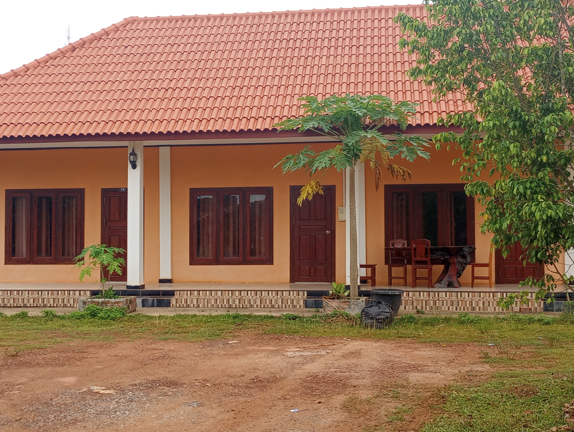
Once in the guesthouse I was able to take care of a lot of emails and other business that had been neglected for those couple of days on the dirt road. When you're in truly remote areas it's all about survival.
At this point it seems there are three options
Option 1: try my luck at the Xanakham border some 17km ahead. It is supposedly a ferry crossing that is not set up for international passports. If it works I could be in Thailand tomorrow.
Option 2: start with the mountain road directly which lasts about 50km and then crosses a bridge over the Mekong. This links up to Route 4 and leads to the Kenethao border. Total distance about 100km. I would probably stay one more night on the Laos side as there is still too much Kip that needs to be gotten rid of.
Option 3: If the border doesn't work then take a meandering Mekong road some additional 25km. There is likely a local ferry crossing over the Mekong (all within Laos at that point) that is unmarked on the GPS. This would lead to the Kenethao border and avoid the mountain pass. Total distance 80km
This all presented quite the dilemma. In the end I settled for option #2 based on the fact the Mekong road would very likely be dirt on the Laos side, and that is a disaster in the rainy season as I found out. If after all that there was no ferry then it wouldn't be good.
While option #2 would be a killer, at least it would succeed and so the decision was made.
Today's ride: 56 km (35 miles)
Total: 797 km (495 miles)
| Rate this entry's writing | Heart | 2 |
| Comment on this entry | Comment | 2 |
1 year ago
1 year ago


