April 11, 2025
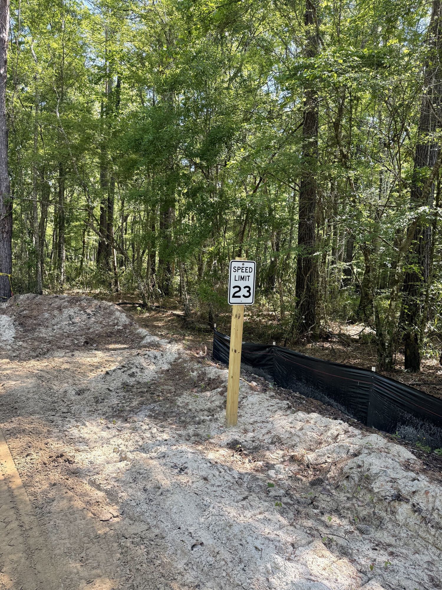
25: bad roads, 23 mph, next state, blocked roads, all that's left of him, georgia coast rail trail, nap time
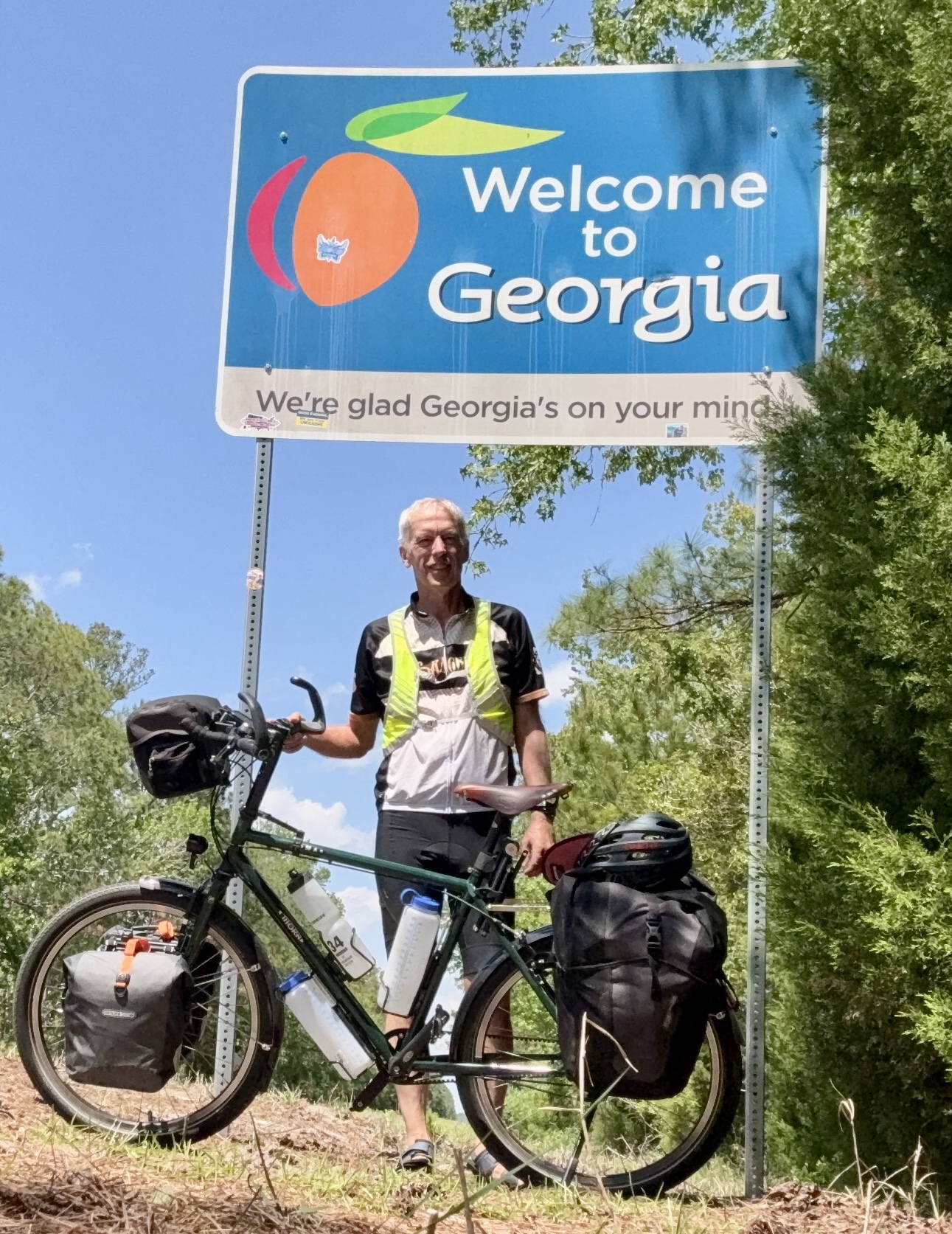
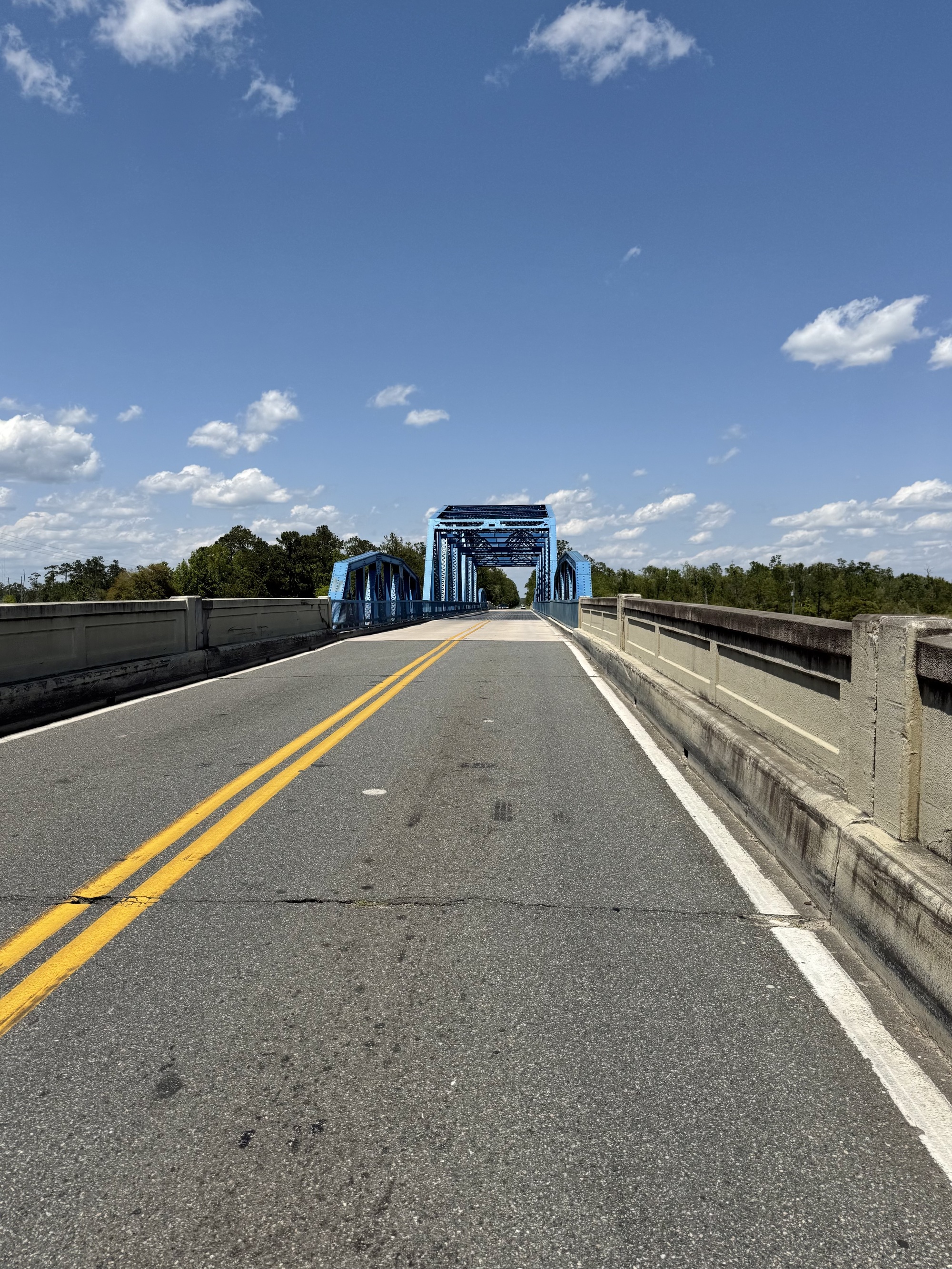
Fernandina Beach to Kingsland
Today kinda sucked.
As opposed to yesterday, which had the best paths and weather possible, today was the polar opposite.

| Heart | 3 | Comment | 0 | Link |

| Heart | 3 | Comment | 1 | Link |

| Heart | 2 | Comment | 1 | Link |

| Heart | 3 | Comment | 0 | Link |

| Heart | 2 | Comment | 0 | Link |

| Heart | 3 | Comment | 0 | Link |

| Heart | 3 | Comment | 1 | Link |
2 days ago

| Heart | 5 | Comment | 0 | Link |

| Heart | 5 | Comment | 0 | Link |

| Heart | 3 | Comment | 2 | Link |
2 days ago

| Heart | 3 | Comment | 0 | Link |

| Heart | 3 | Comment | 0 | Link |
The only consolation was that I had a strong tailwind going in the opposite direction. Of course, that means I have a headwind for the rest of the day.
In fact the headwind was so nice that I overshot where was supposed to have turned by almost a mile and had to backtrack.

| Heart | 7 | Comment | 0 | Link |

| Heart | 2 | Comment | 0 | Link |

| Heart | 5 | Comment | 1 | Link |

| Heart | 4 | Comment | 0 | Link |

| Heart | 10 | Comment | 1 | Link |

| Heart | 8 | Comment | 0 | Link |
I had planned on riding to Woodbine, but decided to make it a shorter day and got a hotel in Kingsland instead. I was pretty excited when I found one for $45.00 (and it was a two star, not one of those crappy one star hotels), but it was sold out so I got one for $55.00 instead.
I didn't feel right all day... Even though I got a full eight hours of sleep, I felt like you do when you wake up in the middle of a dream and just need another thirty minutes of sleep. As soon as I walked into the hotel, I lay down on the bed and instantly fell asleep for an hour, then later in the evening I went to bed early and slept all night.
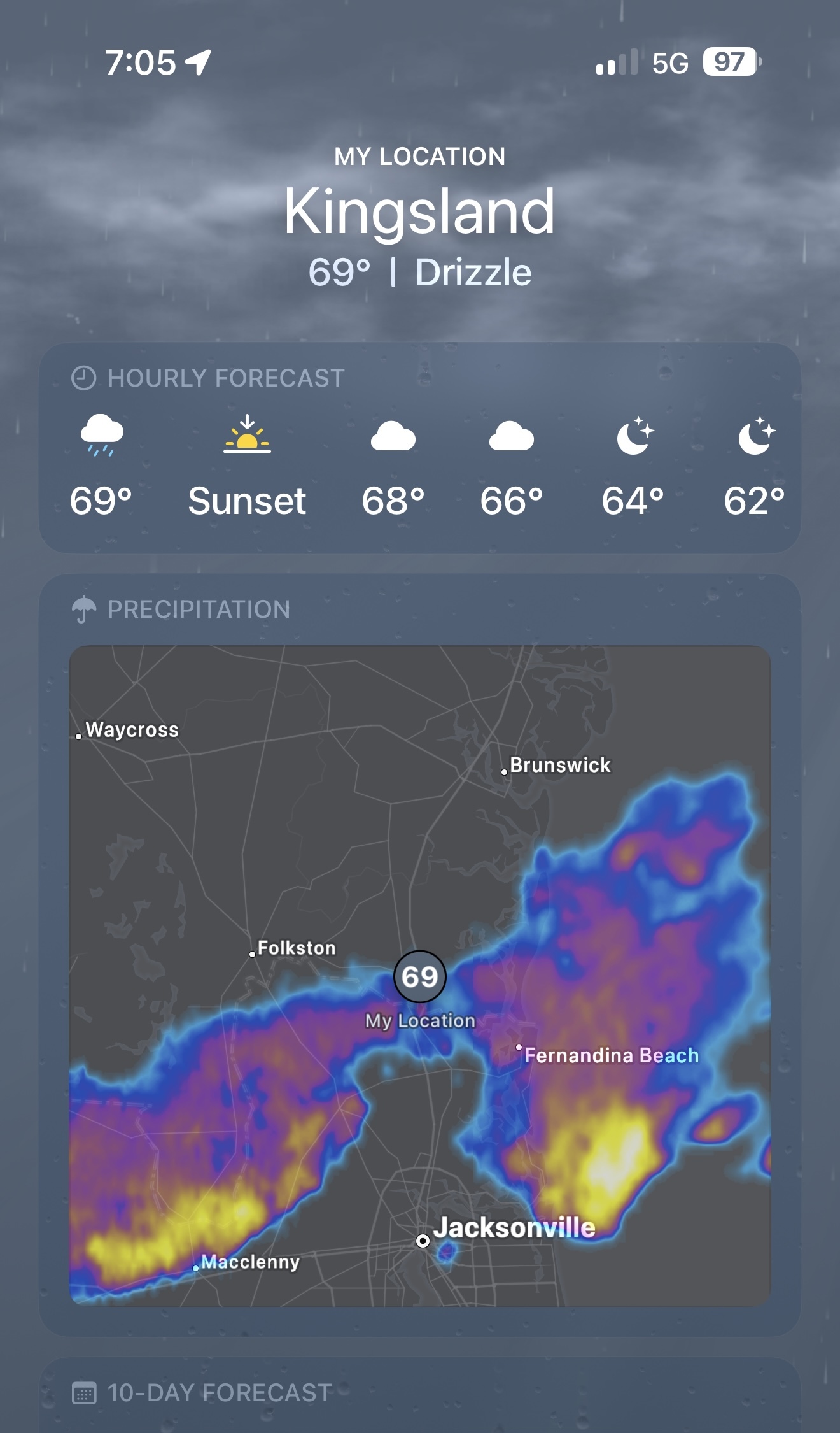
Between my nap and bedtime, I took my raincoat, then walked over to a Mexican restaurant. Fortunately, the rain just missed me. I never saw a drop of precipitation in Kingsland.
As the crow flies, it's about 20 miles from Fernandina Beach to Kingsland. I was able to make it in 35. Consequently, I made a resolution that I won't be getting off Highway 17, as horrible as it is, unless I can absolutely prove that it isn't sand, and isn't closed.
Like I said, today kinda sucked. It's going to happen. A bike trip isn't always fun, and it's certainly not always easy. But it's still an adventure.
I hope you keep reading, because tomorrow turns out much better, and certainly more interesting.
Today's ride: 35 miles (56 km)
Total: 671 miles (1,080 km)
| Rate this entry's writing | Heart | 14 |
| Comment on this entry | Comment | 8 |
My route (the ACA Atlantic Coast Route, or at least what the route was in 2008) goes farther west, and routes you on 23/121, which as I recall was nice, if unexceptional scenery. Traffic was fine there.
Of course, that doesn't help you now does it? :)
Feel free to call me if you want any routing assistance on the rest of the trip. I'll be stuck here at home for a while :(
2 days ago
2 days ago
I kind of liked the dirt road part - it's a shame it was too powdery to ride.
2 days ago
I appreciate the offer, and I might take you up on it.
1 day ago
1 day ago
1 day ago