Introduction
This journal documents an 18 day solo motel bike tour from Dubois, Wyoming to Dillon, Montana. July 9-26, 2024.
| Heart | 0 | Comment | 0 | Link |
High Desert
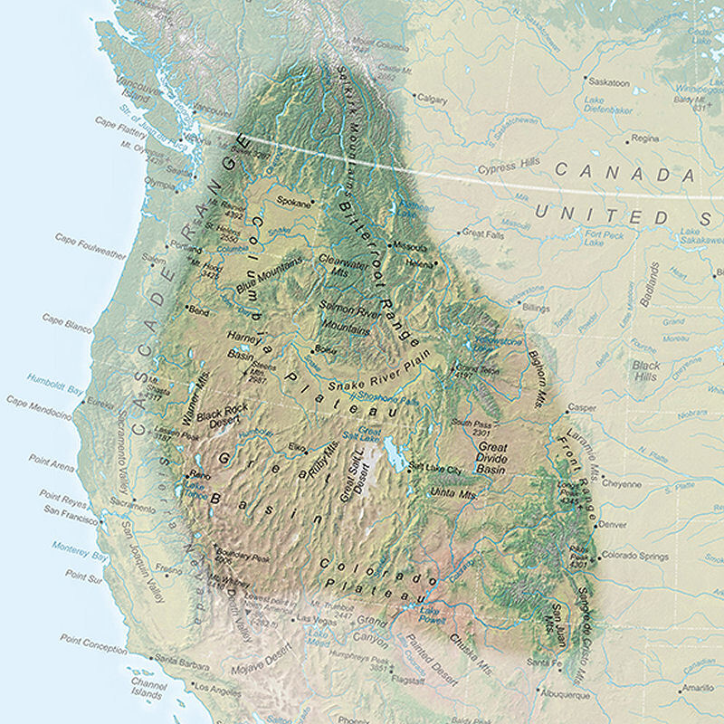
This tour is in a vast region called High Desert which has a vague definition. Generally, High Desert is above 3000 feet (900 m) elevation and gets less than 15 inches (40 cm) of rain per year. But there are big exceptions. A portion of the High Desert region is eroded river valleys that are lower elevation. And other portions of the High Desert region are mountain ranges that get more rain. The map below shows that the High Desert region is east of the Sierra Nevada and Cascade ranges, and west of the Rocky mountain front range.
Rivers
The entire tour route is east of the Continental Divide, following 6 rivers that flow north and east from the Yellowstone supervolcano region.
Down the Wind/Bighorn river
Up the Shoshone river
Down Clarks Fork Yellowstone river
Up the Yellowstone river
Down the Gallatin river
Missouri river headwaters at confluence of Madison and Jefferson rivers
Up the Jefferson and Beaverhead rivers
It's a 4000 mile trip, but the water eventually flows down the Mississippi river to the Gulf of Mexico.

Mountains
Terrain is gentle along the rivers but the route has four small mountain climbs between rivers. This tour doesn't go over big mountains like I did during my 2004 Yellowstone/Grand Tetons bike tour.
The route does go near big mountains. The Wind River range is south of Dubois. The Bighorn range is east of Worland and Greybull. The Absaroka range is west of Cody. The Beartooth range is south of Livingston. The Gallatin and Jefferson ranges are south of Bozeman.
The typical scenery is a narrow green riparian corridor surrounded by barren yellow hills, with occasional views of distant big mountains. Not necessarily spectacular, but vivid contrast between the green river bottom and the barren surroundings.
The Plan
The schedule includes rest/tourist days in Thermopolis, Cody, and Livingston. Also a two night stay in Whitehall for a short but strenuous excursion to Renova hot spring.
Thanks to high elevation, the route is not usually very hot. Cody's average high temperature in July is 85F/29C. But heat waves are likely.
The Wild West
The states of Wyoming and Montana are stereotypical American cowboy country. Many visitors find the wide open spaces and lack of people to be boring, but I genuinely enjoy the wide open spaces and lack of people.
Wyoming is "The Cowboy State", the least populous U.S. state with only 582,000 people. More conservative than Montana. Income from oil and gas production makes Wyoming wealthier than most rural states.
Montana is "Big Sky Country", the 4th largest state with only 1.13 million people. Montana is relatively conservative but famously libertarian, with casinos, liquor stores, and cannabis shops seemingly everywhere. Montana is a low income state, with poorer infrastructure than Wyoming.
I stayed at 5 historic western hotels to maximize the Wild West cultural experience. The western atmosphere in towns added variety to the High Desert Rivers theme on the road.
Ancestral Home
I am mindful that the region was inhabited long before Europeans arrived. The route passes through Wind River Indian Reservation, the sovereign homeland of Eastern Shoshone tribes.
The tour begins in the ancestral home of the Eastern Shoshone tribe. Then I travel north to the ancestral homeland of the Crow tribe. I return to the Shoshone homeland at the end of the tour.


| Rate this entry's writing | Heart | 5 |
| Comment on this entry | Comment | 0 |