May 30, 2023
Day 16 - ending near Rover, AR
| Heart | 0 | Comment | 0 | Link |
The morning started off at 5:10am with the usual tasks: report writing, then packing. Took a break to eat some pop-tarts, then just before I left, I called my wife to see how her weekend went. She's busy and is doing well.
Today's destination is Fourche Mountain Recreation Area near Rover, Arkansas. I see on Google Maps that its elevation is even higher than where I am right now, so today's riding will be from mountaintop to mountaintop.
I left the campground at 10:43am. The Visitor Center for Petit Jean State Park is a little ways ahead on my way west. I stopped there to pay for last night's camping.
Continuing on west, I passed a road to Cedar Falls Overlook Trail, and decided to check that out. The road wasn't too long, but there was more hiking involved than I realized, though it was on a beautiful boardwalk trail. Finally got to a spot where I could see Cedar Falls and Cedar Falls Canyon - still too far away for a good picture. I had pleasant conversations with two other visitors who were sitting on a bench at the lookout platform before I walked back uphill to the parking lot.
Mather Lodge Restaurant was ahead a short ways, where I planned to eat either breakfast or lunch. I was handed a lunch menu when I arrived there at 11:40am. Chicken Fried Chicken is what I went with along with a piece of pecan pie for dessert, and sweet tea to drink.
With ice for my thermos and a purchased Gatorade, I was ready to get today's ride underway - at 12:57pm.
The morning's mileage was 2.5 miles - not much of a contribution to the 38 miles I needed to go today.
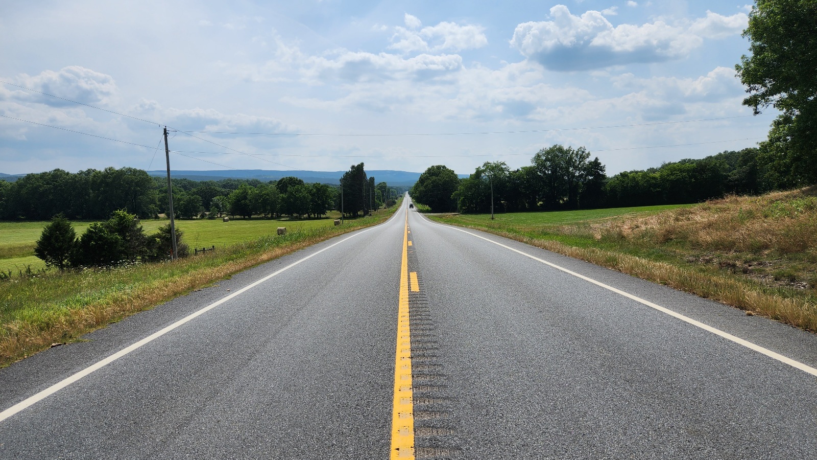
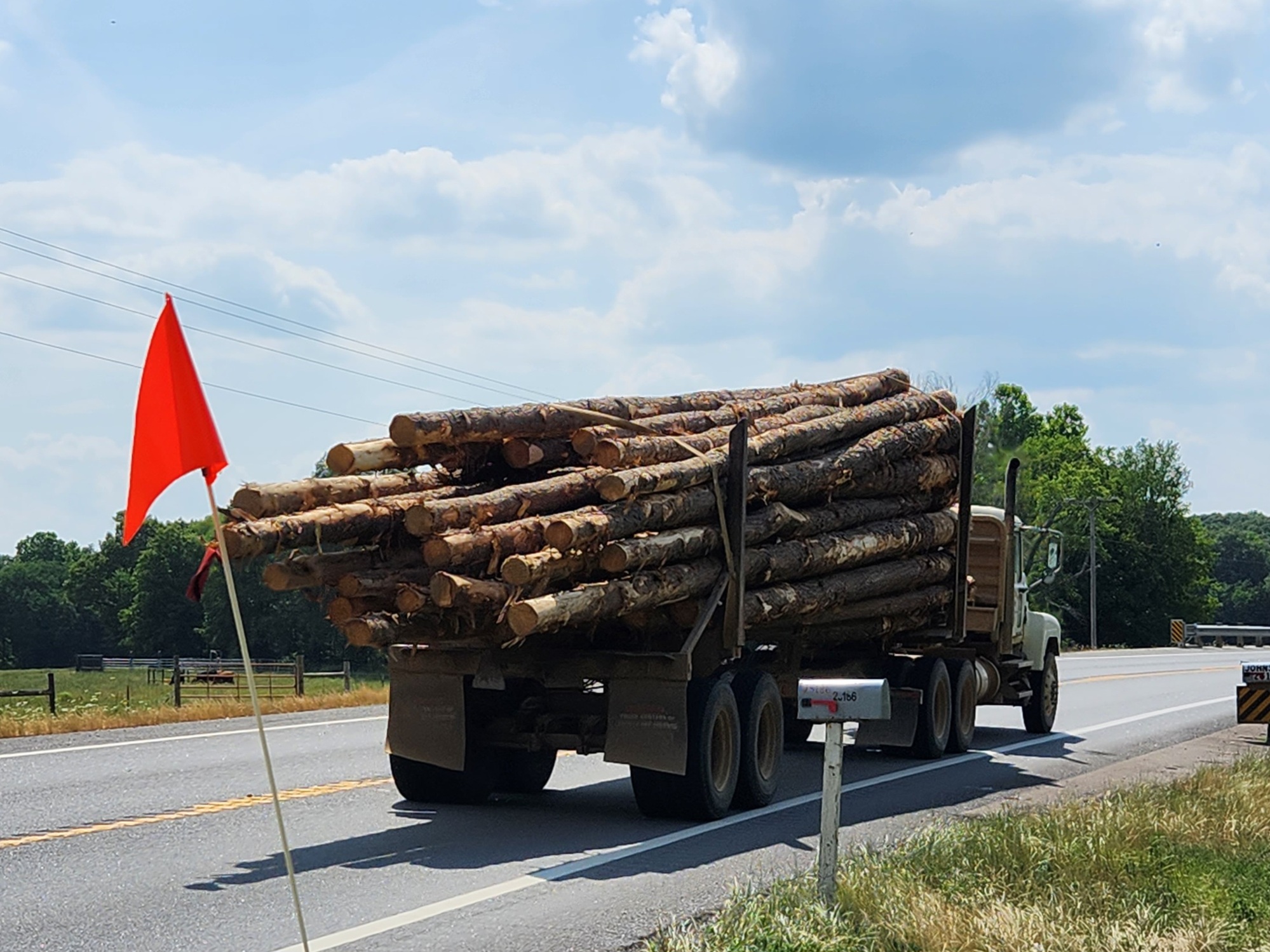
I stopped at a lookout spot at the intersection of AR-154 and AR-155, then turned left on to AR-155 for an incredible downhill that just kept going and going. Went through Rose Creek, then Casa to get to AR-10. Just before Casa I had eight dogs chasing me, four from one house started and were joined by four from another. I'd made a wrong turn but wasn't going to correct it by going back past the dogs, so that's how I ended up going through Casa. It was a short detour. Turned back west and enjoyed flat AR-10 going west. Logging trucks were passing me now then, and there were pieces of bark all along the shoulder. When I arrived in Ola shortly after 4:00pm, I passed the destination for the logging trucks - a company named PotlatchDeltic.
I stopped at 7T Kwik Stop in Ola for, first a chocolate milk, then a slushie. I probably spent too much time there, but they had a nice place to sit inside where it was cool.
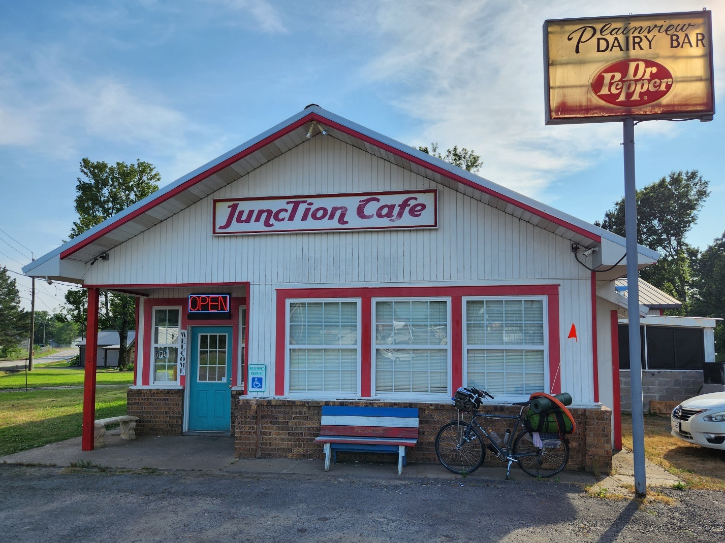
Left Ola at 5:01pm using AR-28 to get to Rover. I came to the Junction Cafe in Plainview and decided a light supper would be a good idea. I ordered from their senior menu: 1/2 Hamburger Steak Dinner. All the portions were one half of the regular meal. Also got a vanilla milkshake. No one can say I'm not eating enough today. I found a table next to an outlet, so I was able to charge my phone some while I ate.
I left the cafe at 6:41pm with still more flat riding ahead - at least to Rover. After Rover, past the Fourche LaFave River, is where the climbing started. It was 7:43pm and my DeLorme PN-60 GPS said I was at 390 feet elevation. This hill was so much better than the one I did yesterday - there is a nice shoulder and the grade is gentle. Still I decided that I'd do some walking on this one. Walking worked a little better than riding for me because I don't have to stop to catch my breath. Though, I did do some riding also.
I was fortunate to be lined up on the road to get a picture of the sun setting behind me. It was fun watching the elevation register on the PN-60 as I continued on. When it got dark I turned on my flashers, though there were very few vehicles passing. Finally at 9:12pm, I was at the top. The GPS was reporting 1109 feet as the elevation. The camping area was close - the gravel road to it just a little further on, starting back downhill. I was walking up this road in the dark. There hadn't been any signs about the camping area and I began to wonder if I really knew where it was. I finally parked the bike on the road and walked up a little further. There it is, to the left at the top of this hill! There are three nice camping areas with picnic tables that I could see. I made my selection by 9:25pm. Sent out a shorter-than-usual evening email, then got set up. Some picture selection after that while listening to a whip-poor-will carrying on. At 11:10pm I started my second night sleeping on a mountain top.
Jeff
Spent: $30.04 plus $6 (lunch) + $2.50 (Gatorade) + $5.28 (Gatorade, chocolate milk) + $2.75 (Slushie) + $10.56 plus $3 (supper) = $60.13

| Heart | 6 | Comment | 2 | Link |

| Heart | 4 | Comment | 2 | Link |
Today's ride: 43 miles (69 km)
Total: 694 miles (1,117 km)
| Rate this entry's writing | Heart | 7 |
| Comment on this entry | Comment | 0 |


