September 11, 2023
Day 6: Milton-Freewater to ABC Mountain Retreat
Today's distance is short but it's nearly all uphill, from the lowest lodging of the tour to the highest lodging of the tour. On the road at 9:15 after a quick stop at McDonalds to buy a breakfast sandwich to eat on the road later. No services today. The morning was pleasantly cool thanks to the high clouds.
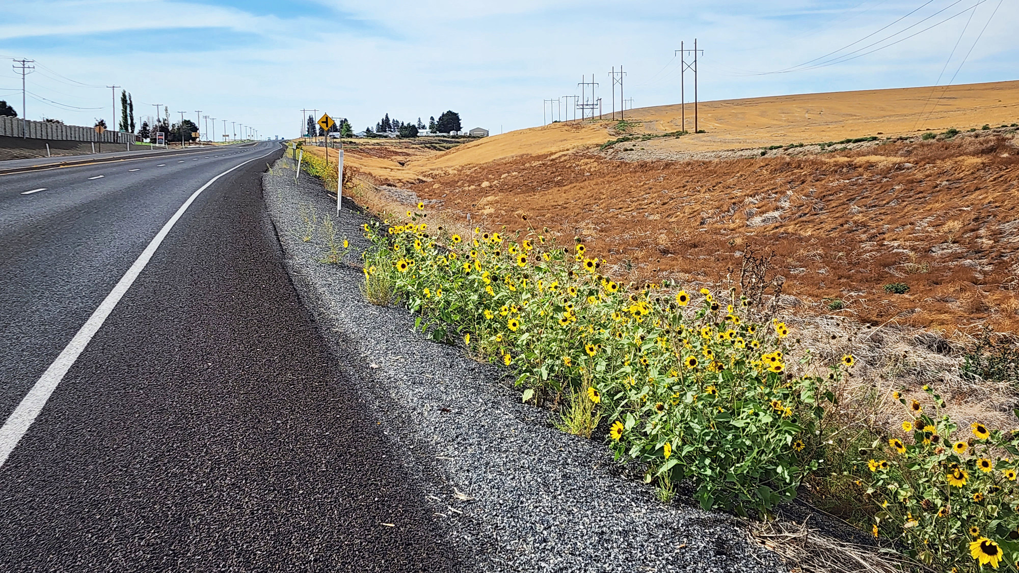
Today's route is mostly 3 to 4 percent grade. One area near the top is 5% grade. While climbing out of town I had views of the Blue mountains to the southeast, looking into the hazy sun. In the middle is the cleft of the North and South forks of the Walla Walla river canyon.

| Heart | 4 | Comment | 0 | Link |
Today's route starts on busy OR 11, with a wide shoulder and a rumble strip. Then a mile on Milton Road to cut the corner to connect to OR 204. Most of the day was on OR 204 which crosses the Blue mountains.

| Heart | 2 | Comment | 1 | Link |
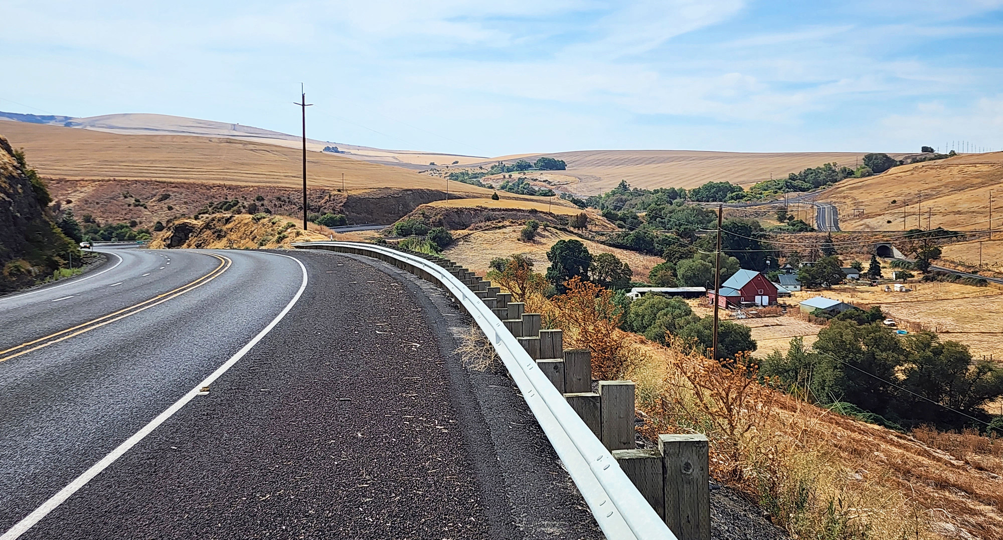
Today's route has one scenic 90 foot descent on OR 11. One last chance to enjoy a green fold in the low desert before climbing to higher elevations.
I have not seen onion fields but I have seen uncovered dump trucks loaded with onions. Occasionally I see an onion that fell onto the road.

| Heart | 2 | Comment | 1 | Link |
1 year ago
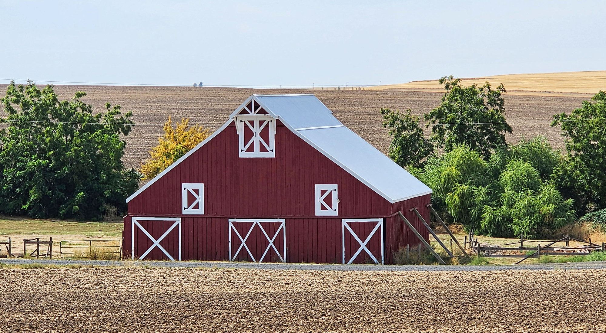
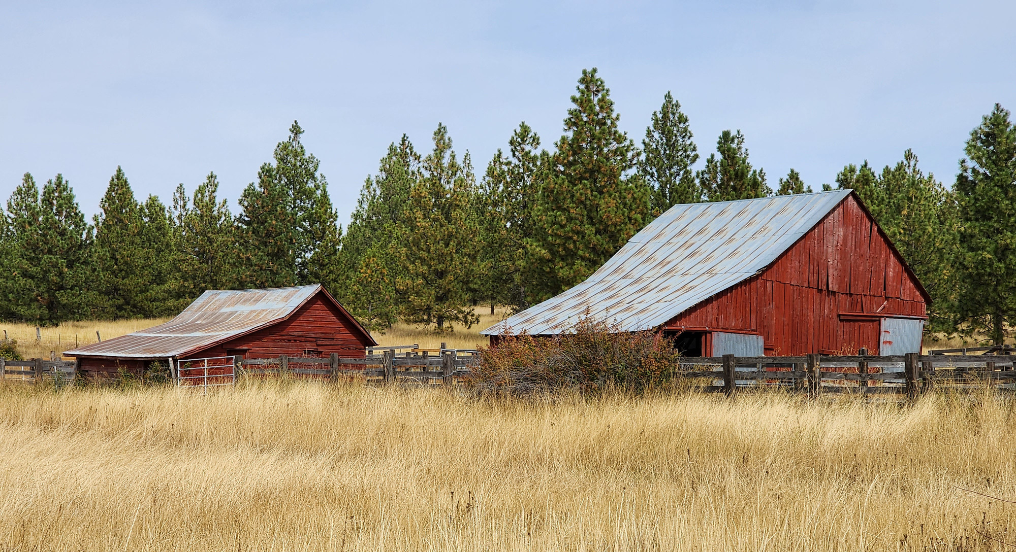
I'm discovering that red barns are relatively common in northeast Oregon.
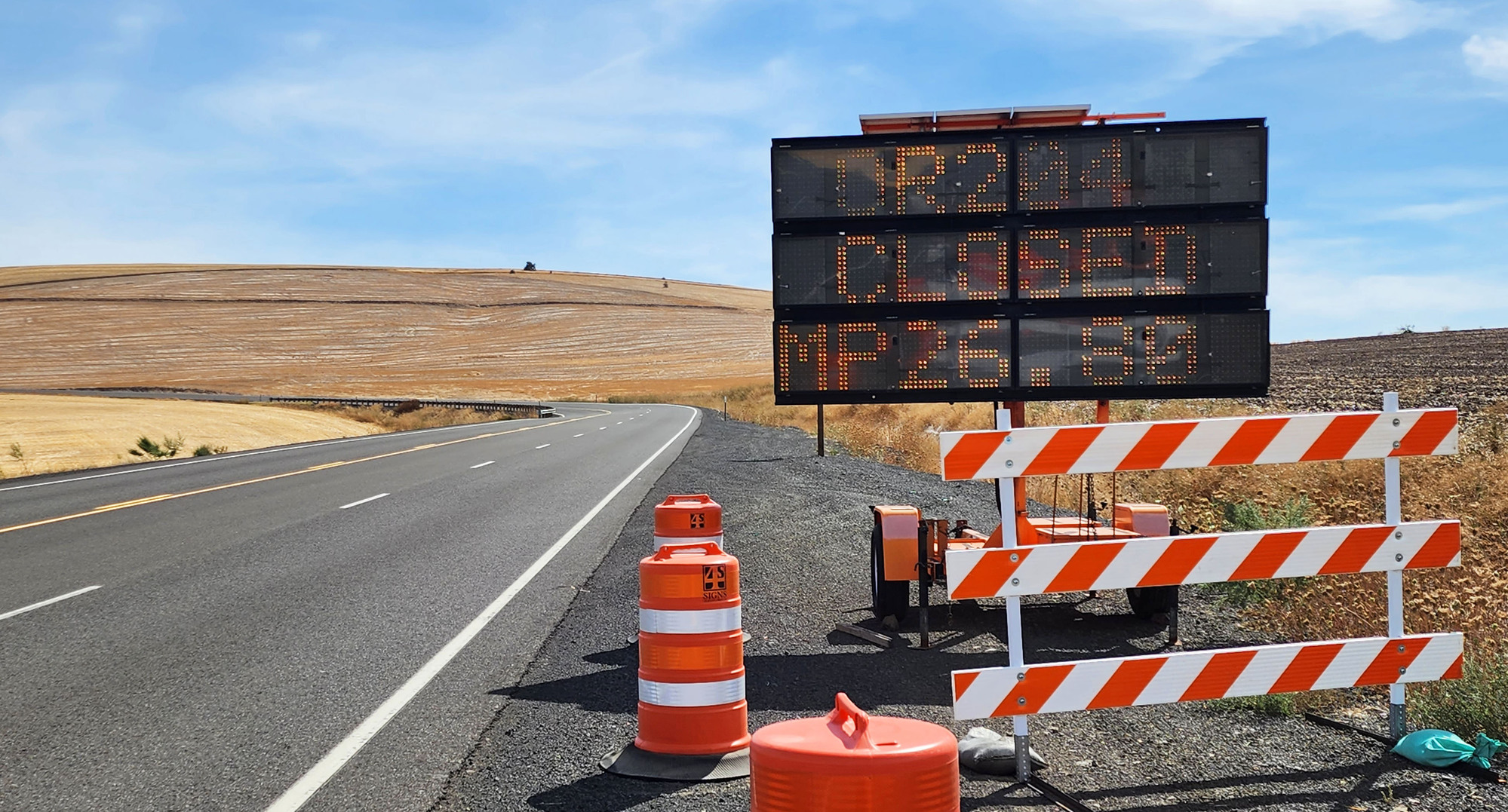
After climbing 1000 feet from Milton-Freewater I saw the first indication that the highway is closed ahead. The closure is 15 miles past tonight's lodging. OR 204 still had local traffic but it had no thru truck traffic other than the occasional ODOT dump truck. It was quiet and pleasant.
I had a flat tire caused by an easy to find goathead. Flat tire #2 of the tour.
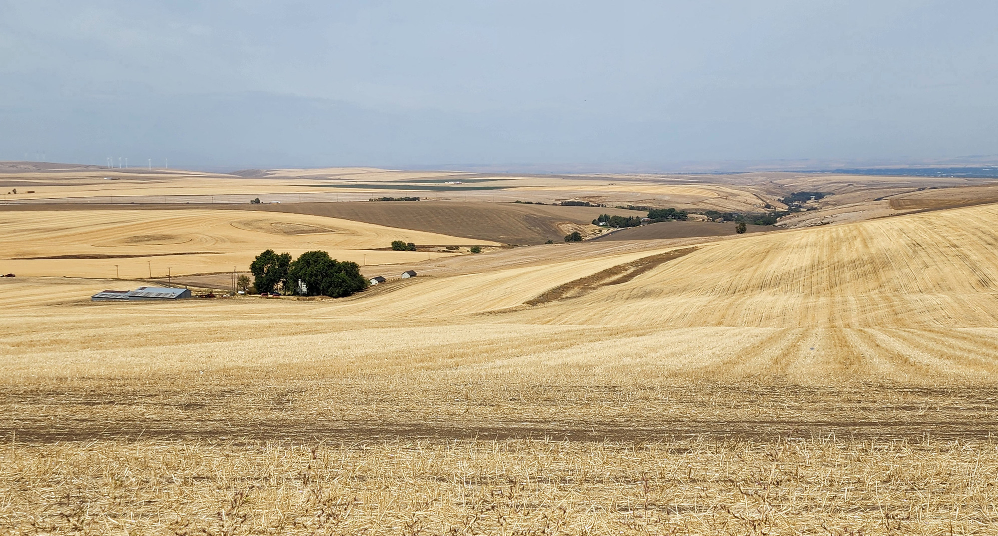
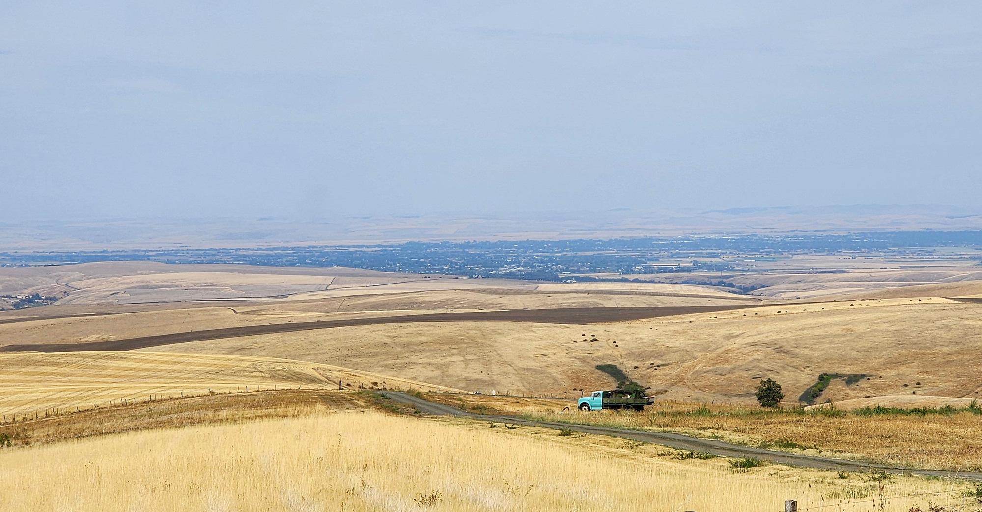
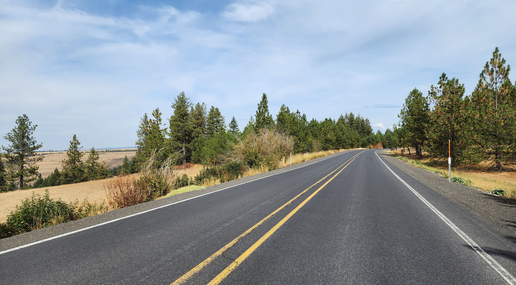
Today's ride has expansive, if not quite spectacular views. The view to the north was quite good during the climb, looking down on the Walla Walla river valley with no trees to obstruct the view.
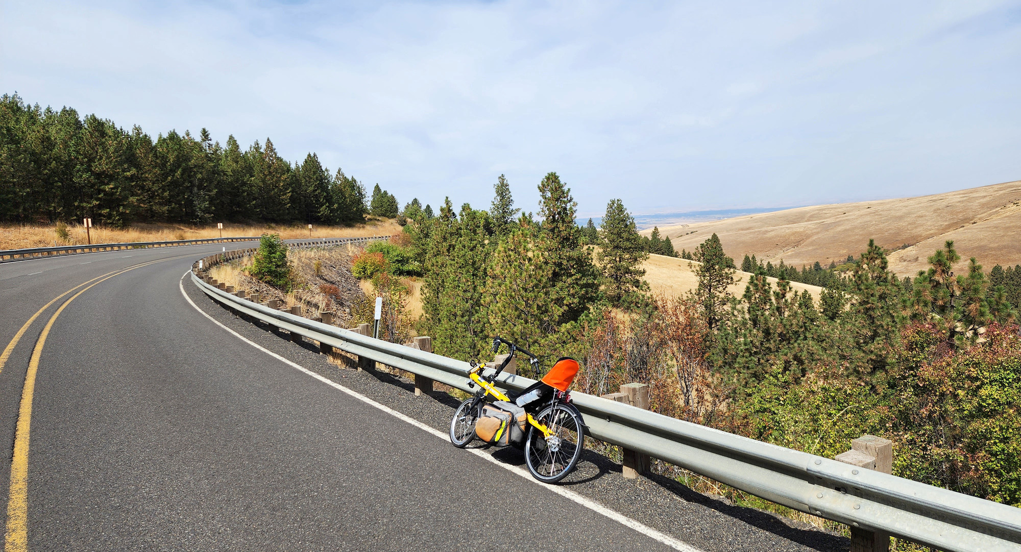
I started to see trees a little above 3000 feet elevation. For several miles OR 204 stays on the edge of the trees, so I still had frequent views looking down. The high temperature in Milton-Freewater was 90F but I climbed into cooler temperatures. High in the low 80's. I never got overheated.
Today I'm climbing with a heavier than usual load because there are no services until the end of the day tomorrow. I'm carrying a large stockpile of food, even 2 beers.
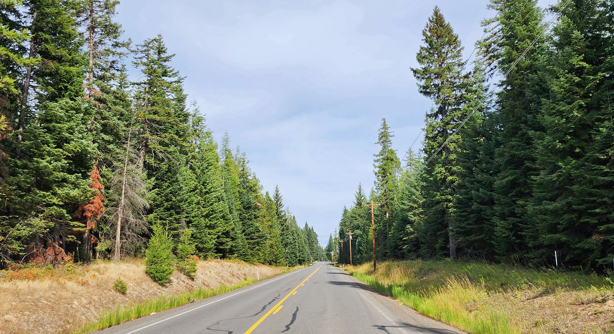
I only got into the forest near the end of the climb, above 3600 feet elevation. There were very few houses on the barren lower hills, but the forested area has more houses. It's all private property. Not National Forest yet.
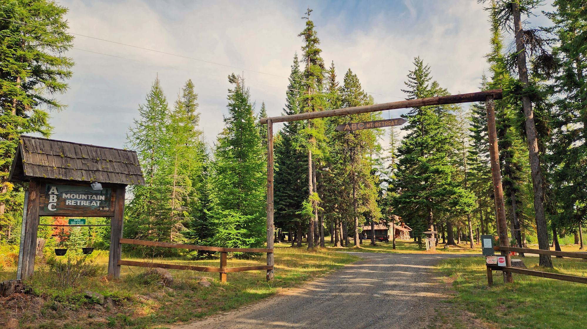
I arrived at ABC Mountain Retreat at 3:50 PM. Elevation at the entrance is 3950 feet, then the gravel road descends 50 feet to the cabins.
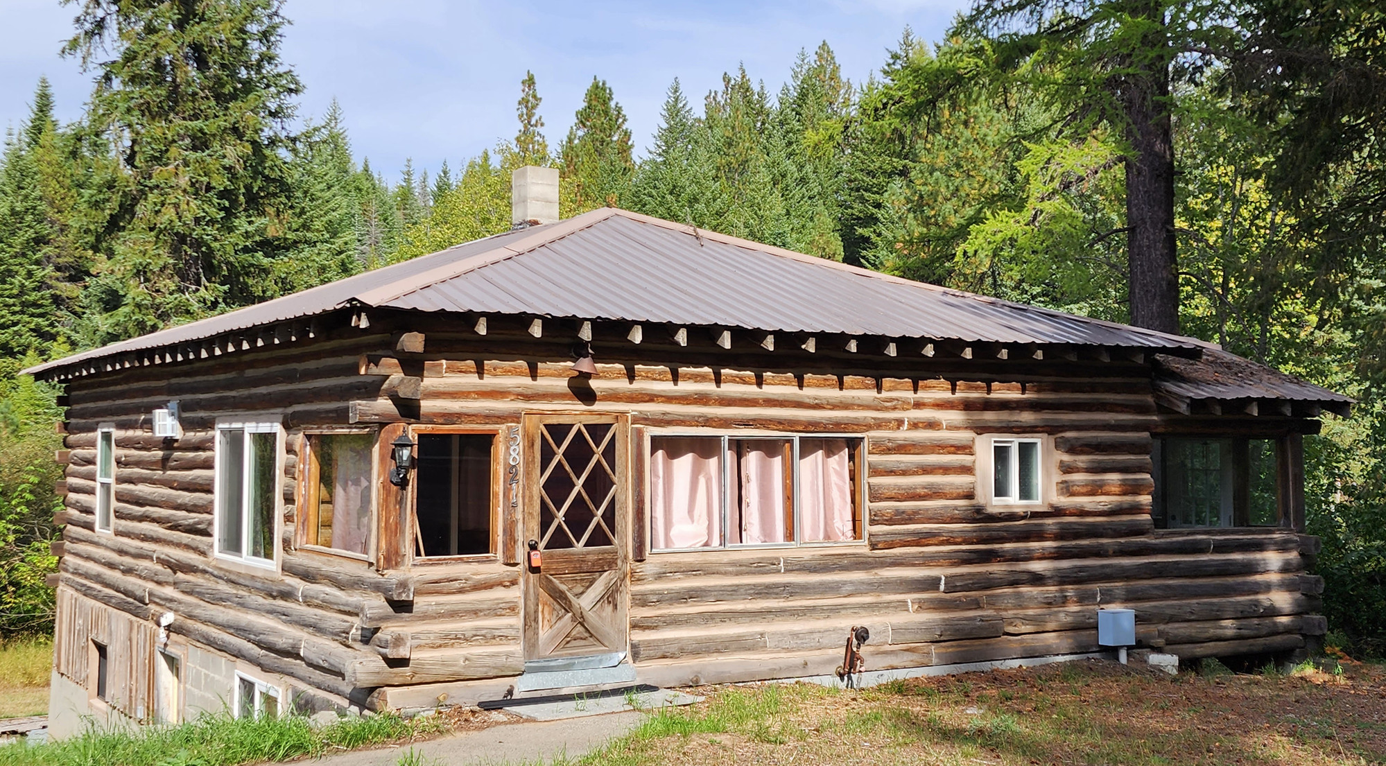
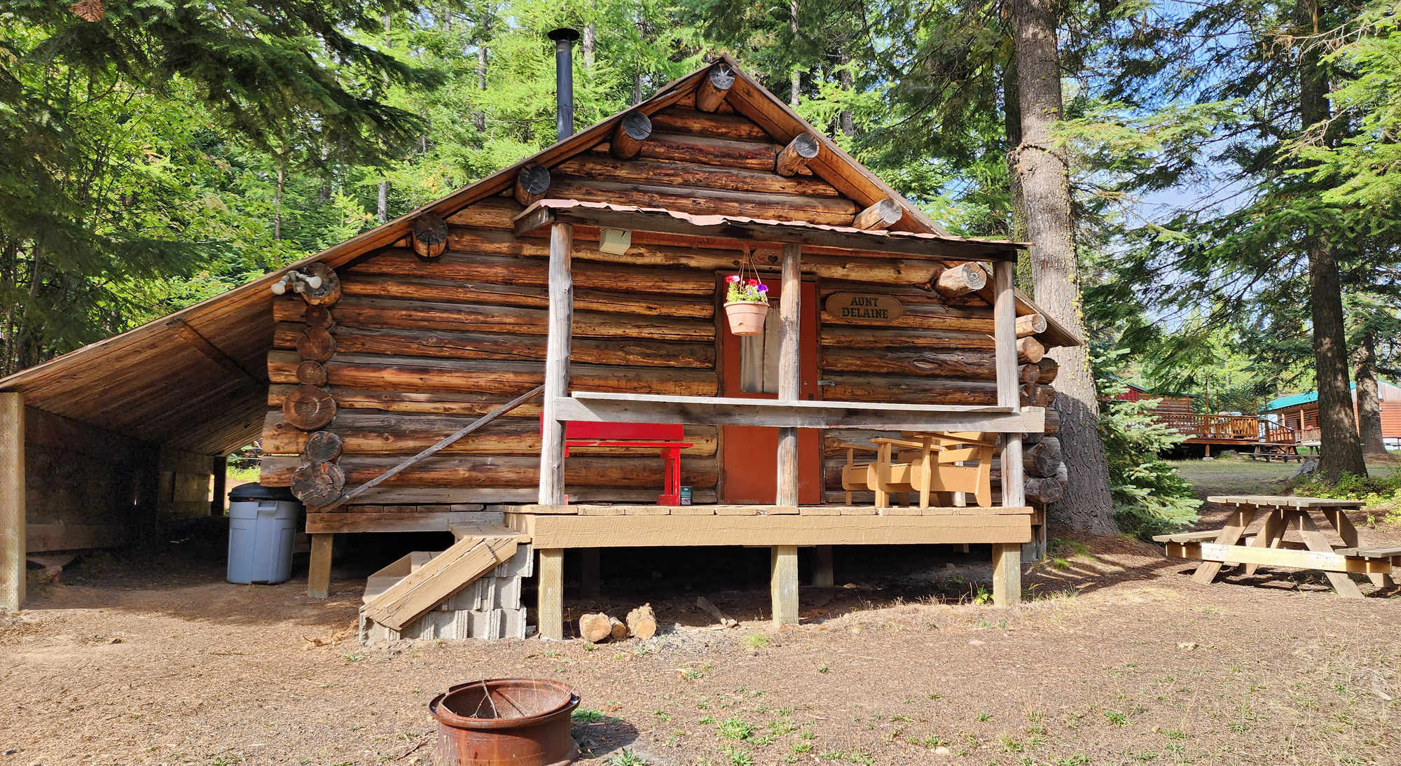
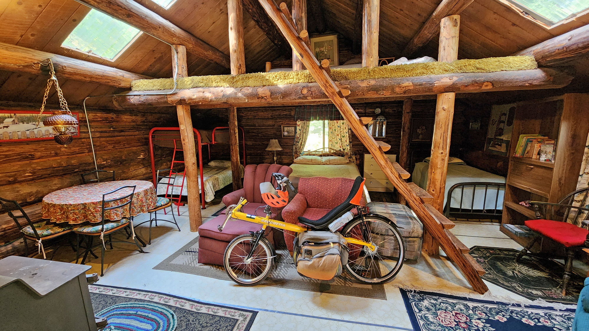
It took a few minutes to find somebody to show me to my cabin. My phone doesn't work very well here. The cabin is quite large, sleeps 7. But it has no plumbing. The toilet and shower are 500 feet away.
The only source of heat is the wood stove. The wood stove is also used for cooking. The cabin smelled extremely smoky. I opened the window and door to ventilate the cabin but it didn't help very much. The smoke permeates everything. I never used the wood stove but I did use the microwave and the mini-fridge.
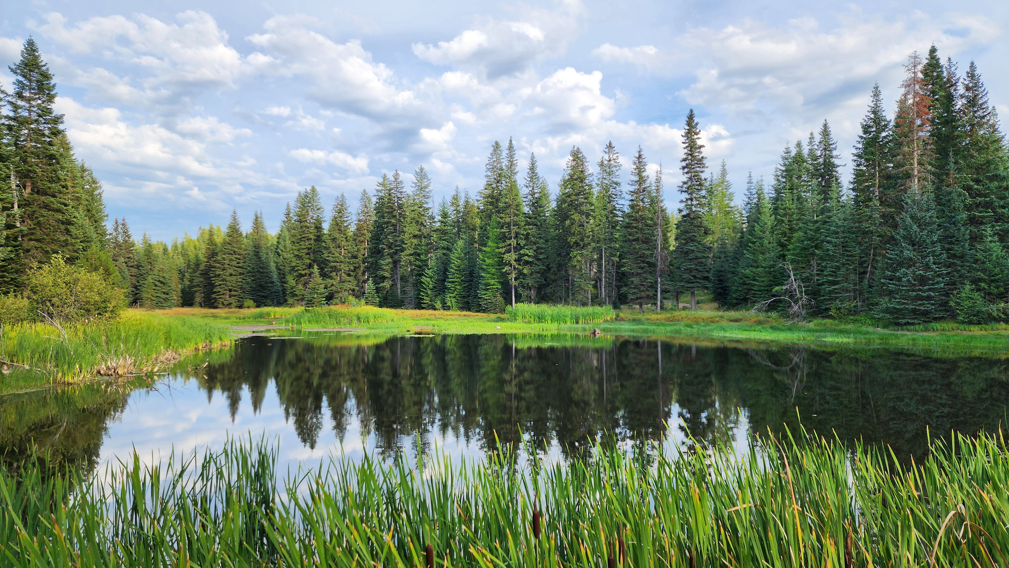
Near my cabin is a trail that goes 1/4 mile downhill to a small lake. It's a different universe than the low desert where I started today.
Later I was told that I should get phone service up on the highway. So I walked up on the highway to inquire about the road closure at Oregon Tripchek.com. It said the road is closed until further notice. No reopening time or date. The lady at ABC Mountain Retreat said that today is the first day of the closure, and that they are replacing culverts before repaving. That explains the multi-day closure. I will check again in the morning to see if it reopens tomorrow, but I doubt it will.
I went to bed with the window wide open above the bed to get non-smoky fresh air. I gradually closed the window as the night got colder, but never closed it completely.
Distance: 21.5 miles
Average Speed: 5.0 mph
Ascent/Descent: +3091/-209 feet
Today's ride: 21 miles (34 km)
Total: 189 miles (304 km)
| Rate this entry's writing | Heart | 6 |
| Comment on this entry | Comment | 2 |
1 year ago

https://oregonflora.org/taxa/garden.php?taxon=5524
1 year ago