December 4, 2019
Aqua Amarga
It’s been gradually seeping in to my consciousness over the past few days that the tour’s almost over. After today we have just a five day run east to Murcia, then we’ll catch the bus to Valencia where we’ll spend the last five nights until our flight back to The States. I catch myself drifting into thinking about departure, and need to snap myself back to stay in the moment while it’s here in front of us.
And, the moment in front of us this morning is gorgeous. The storm passed in the night, the streets have mostly dried out already, and skies are clear again. Hard to believe we’re in the same world, really.
We have a short ride ahead of us to Agua Amarga, so I talk Rachael into adding twenty miles by first biking west along the coast to the lagoon west of here - a ride we had planned for our layover here until the weather interfered.
We don’t get as far as the lagoon though. We only get about a mile out of town when our coast road unexpectedly turns to gravel. Funny - it really looked paved in the satellite view! We’re not starting the day with 20 miles of hilly gravel, that’s for sure, so we take a couple of photos and turn back east again.

| Heart | 5 | Comment | 0 | Link |

| Heart | 2 | Comment | 0 | Link |
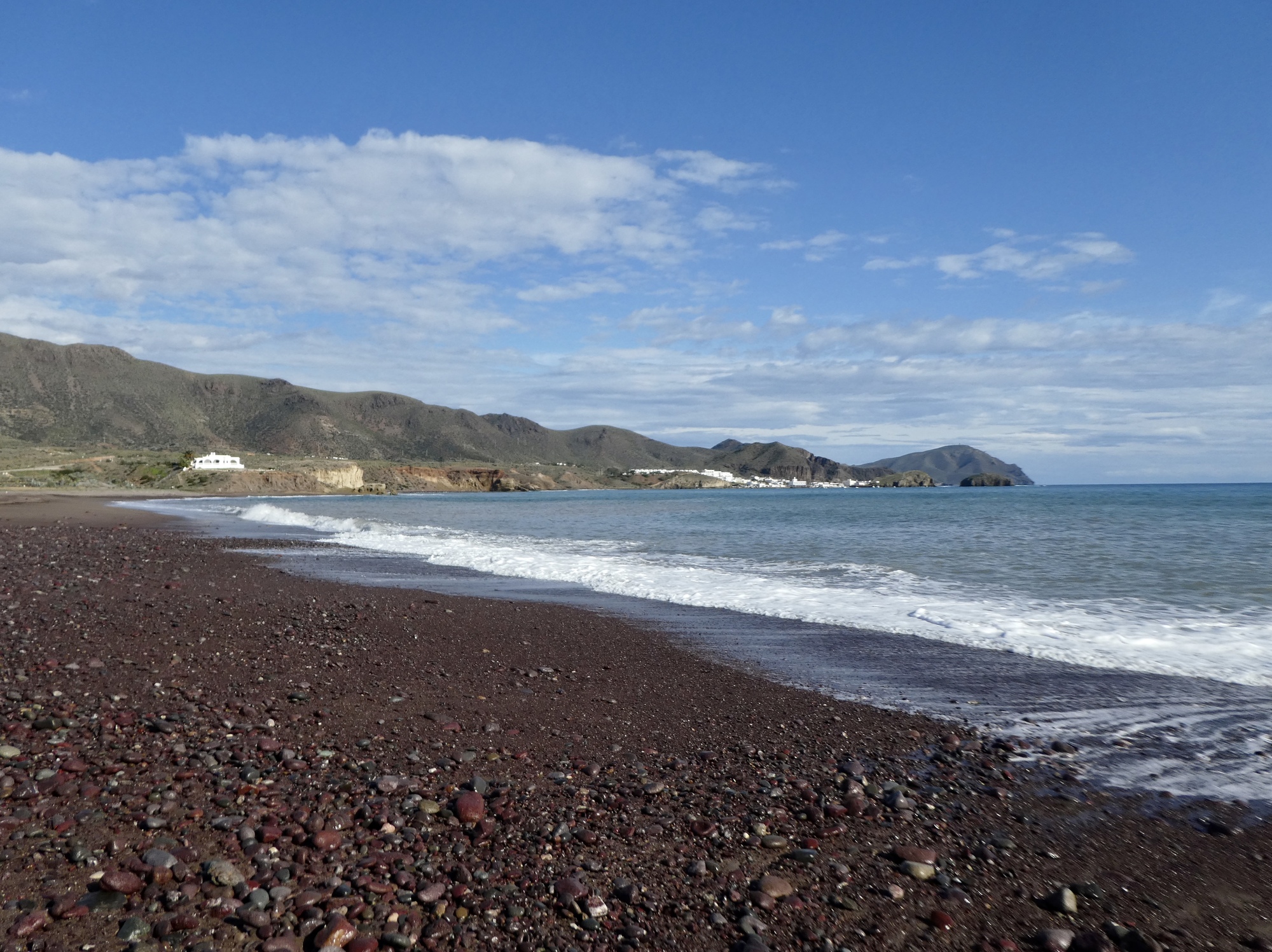
The ride east to Agua Amarga (Bitter Water) is a straight-forward run along the coast. Just the usual features you expect to find here - a lonely road with stunning beaches separated by spiky headlands. A beautiful ride. We stop for an exploration of the striking beach at La Isleta del Moro; then again to catch our breaths and admire the lookout at Mirador Amatista; and then finally about five miles shy of our destination to eat lunch on the shoulder of the road.

| Heart | 3 | Comment | 0 | Link |

| Heart | 1 | Comment | 0 | Link |

| Heart | 4 | Comment | 0 | Link |

| Heart | 3 | Comment | 0 | Link |

| Heart | 2 | Comment | 0 | Link |

| Heart | 3 | Comment | 0 | Link |

| Heart | 3 | Comment | 0 | Link |

| Heart | 5 | Comment | 2 | Link |
5 years ago

| Heart | 2 | Comment | 0 | Link |

| Heart | 2 | Comment | 1 | Link |
Video sound track: Bolero Sonambulo, by Ry Cooder and Manuel Galban
We arrived in Agua Amarga about three, leaving us time for a walk. We split up, Rachael going west to explore the next cove over; while I went up, to explore the ruins of the old ore terminal. Agua Amarga was the terminus of a rail line that brought ore from a mine near Lucainena, the mountain town we biked through on our way to San Jose. We saw remains of this train line when we biked out of Lucainena, and now I wish I’d stopped to take photos of it.
And, we’re out of time. So, that’s all he wrote.
Photos from Rachael’s walk:

| Heart | 3 | Comment | 0 | Link |

| Heart | 4 | Comment | 0 | Link |
Photos from mine:

| Heart | 3 | Comment | 2 | Link |
(I wonder what he's cooking up today?)
5 years ago
5 years ago

| Heart | 2 | Comment | 0 | Link |

| Heart | 1 | Comment | 0 | Link |
Ride stats today: 28 miles, 2,200’; for the tour: 2,171 miles, 86,200’
Today's ride: 28 miles (45 km)
Total: 2,171 miles (3,494 km)
| Rate this entry's writing | Heart | 6 |
| Comment on this entry | Comment | 3 |
5 years ago


